
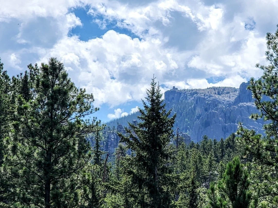
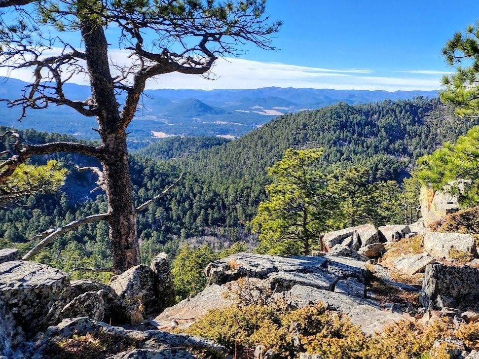
Central Black Hills
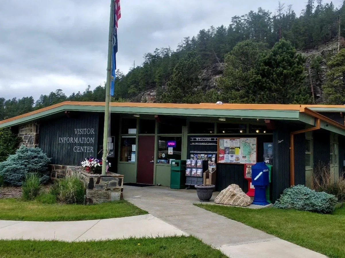
Black Hills Visitor Information Center
Located off Exit 61 Interstate 90 in Rapid City, South Dakota.

Iron Mountain Road
Very scenic road with bridges, tunnels, and views of Mount Rushmore.

Mount Rushmore
Carving honoring four presidents near Keystone.

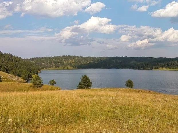
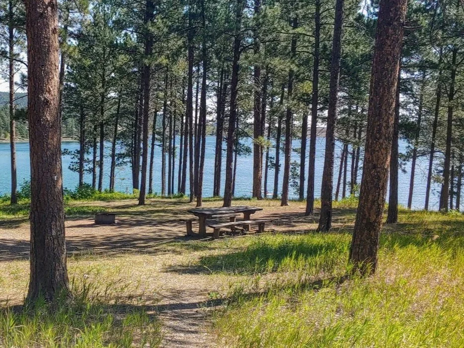
Pactola Lake
Beautiful lake between Hill City and Deadwood.

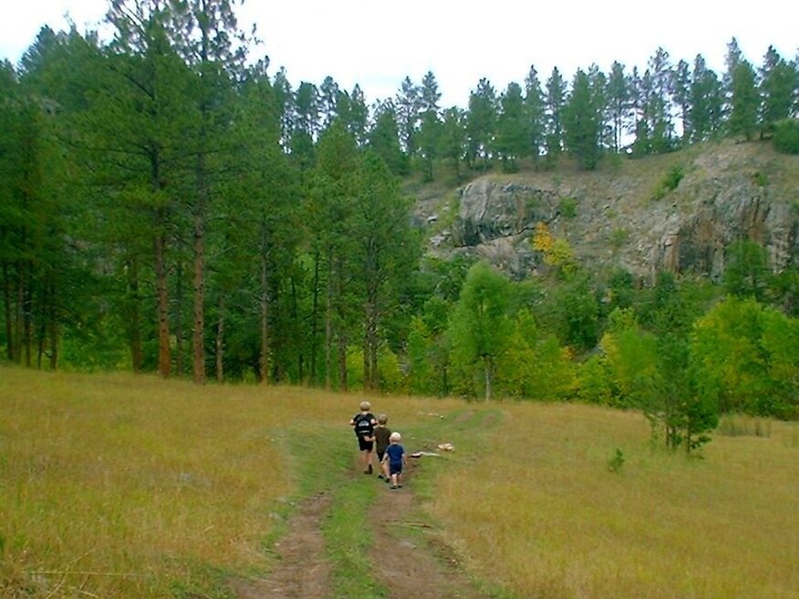
The Boneyard Trail
The Boneyard Trail is a pretty trail that overlooks Johnson Siding and is marked by animal bones.
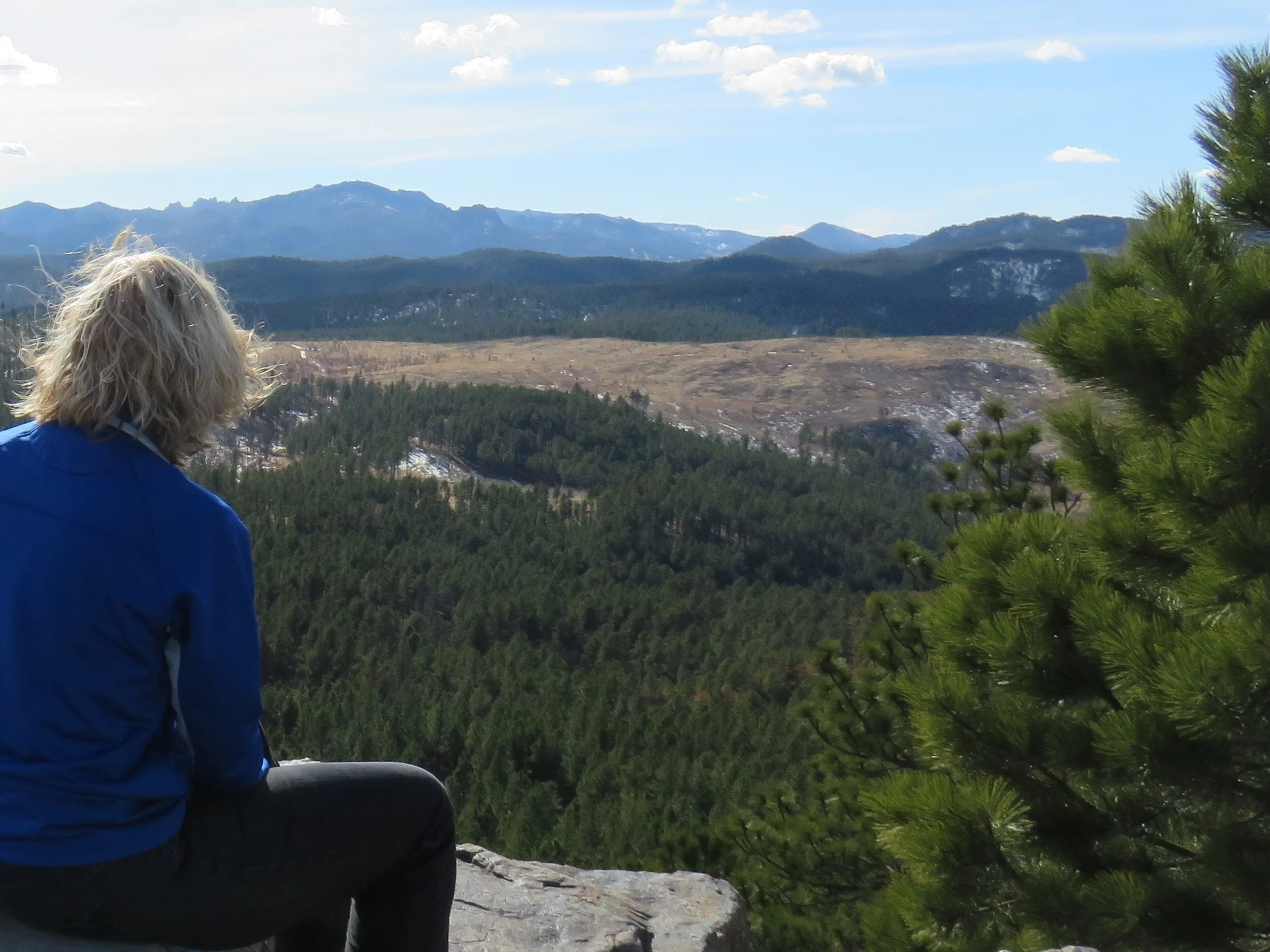
Boulder Hill Trail
Boulder Hill is an easy trail that is just west of Rapid City and gives you a 360 degree view of the Black Hills.

Willow Creek Trail
Willow Creek Trailhead is a 2.8 mile easy hike off of Highway 244.
Victoria Lake Trail
Victoria Lake Trail is a fun easy trail just west of Rapid City.

The Rockerville Flume Trail
The Rockerville Flume Trail is a beautiful 13 mile trail that can be done in sections.

Veteran's Point Trailhead
This is a short 1/2 mile trail on the north side of Pactola Lake.

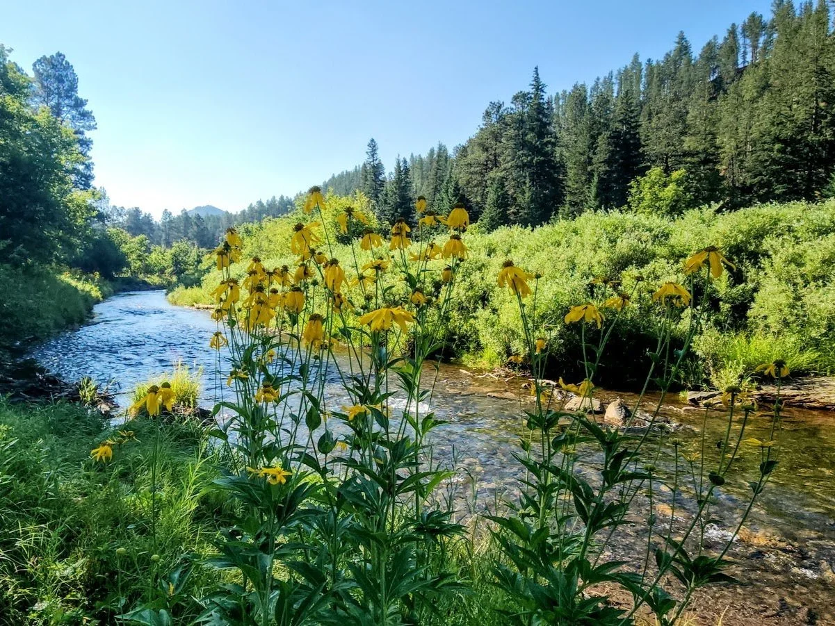
Doty Springs- Box Elder Creek Trail
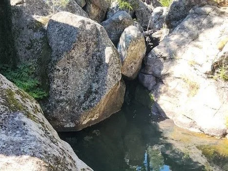
This trail is an out and back trail that leads to a river and some caves.
Bob Ingersoll Mine Trail
Bob Ingersoll Mine is an abandoned mine just south of Keystone.

The Osprey Trail
The Osprey Trail is a beautiful trail near Pactola Lake.

Spring Creek Trailhead - Flume Trail -Centennial Trail
Spring Creek Trail is a beautiful trail that follows the Flume Trail, the creek, and hits the east end of Sheridan Lake.

Buzzards Roost Trails
Buzzards Roost is a mountain biking and hiking trail west of Rapid City.

Storm Mountain Trail
Storm Mountain is a bunch of hiking and biking trails near the town of Rockerville just west of Rapid City.

Aspen Leaf Trail
The Aspen Leaf trail is a short trail near Pactola Lake that gives your gorgeous views of the lake.

The Centennial Trail
This wonderful bike/hiking trail is 111 miles plus and goes from Bear Butte in Sturgis to Wind Cave National Park in Hot Springs.

The Presidential Trail At Mount Rushmore
This trail is only 0.6 miles and gets you up close with Mount Rushmore.

Cool Rock Of Hwy 244 Trail
Short hike to neat rock off Highway 244 near Mount Rushmore.

Horsethief Lake Trail
Pretty trail near Horsethief Lake.

Breezy Point Picnic Area/Trail
Beautiful picnic area just west of Mount Rushmore.

Stratobowl Rim Trail
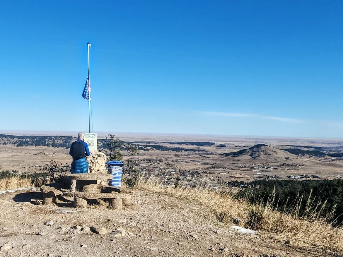
Stratobowl Rim Trail is a short and easy hike just west of Rapid City.

Bighorn Sheep Management Area Trail
Located off Sheridan Lake Road and leads to a beautiful cliff view.

Bighorn Sheep Management Area Trail 2
A nice hike off Sheridan Lake Road.

Flume Trail Loop B
A nice and easy 3.8 mile loop.

Wrinkled Rock Climbing Area/Trail
A fun area to climb rocks for kids or climbers.

Old Mount Baldy Trail
A beautiful hike behind Mount Rushmore to some amazing views.

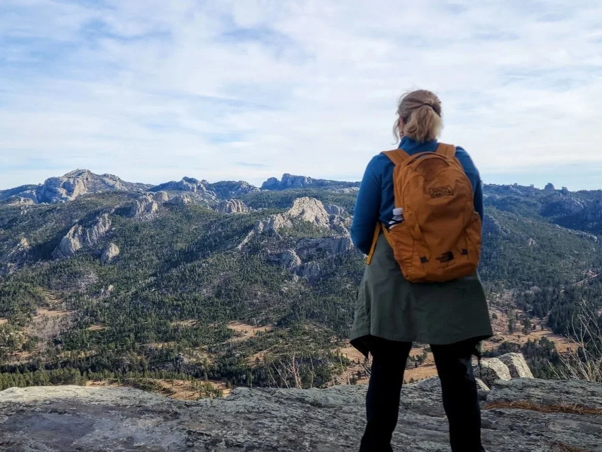
Trail #9 - Willow Creek To Black Elk Peak
A very hard and beautiful hike up to Black Elk Peak.

Horsethief Lake Trail #14
A very pretty hike south of Horsethief Lake that has a creek and cool rock formations.

Trail #40 Silver City
A beautiful trail near Silver City.

Sunday Gulch Game Production Area
Located near Hill City.

Sheridan Lake
Pretty lake just north of Hill City.

Lakota Lake
Quiet little lake between Keystone and Custer State Park.

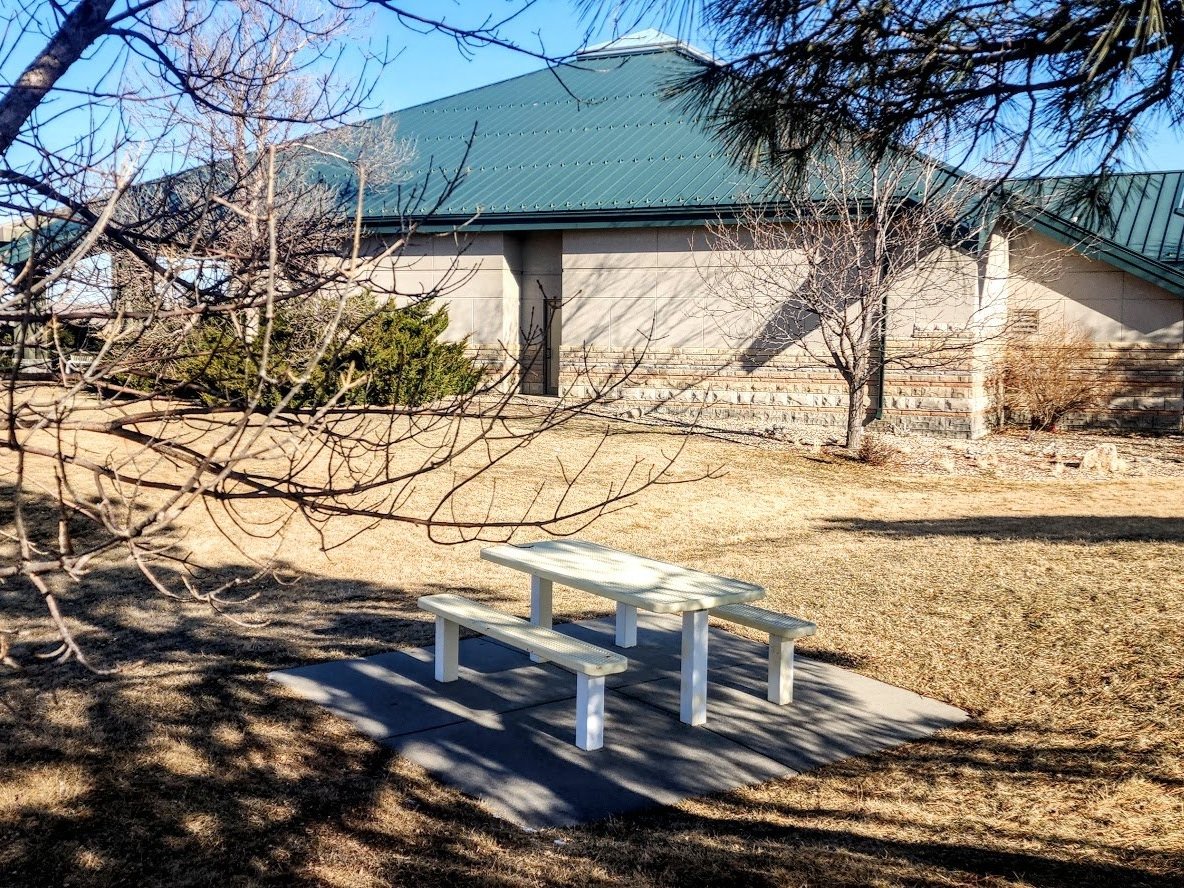
Spring Creek Picnic Area
Pretty picnic area off Sheridan Lake Rd just west of Rapid City.

Dakota Point Picnic Area
Nice picnic area off Sheridan Lake Road near Sheridan Lake.

Horsethief Lake
Beautiful lake near Mount Rushmore.

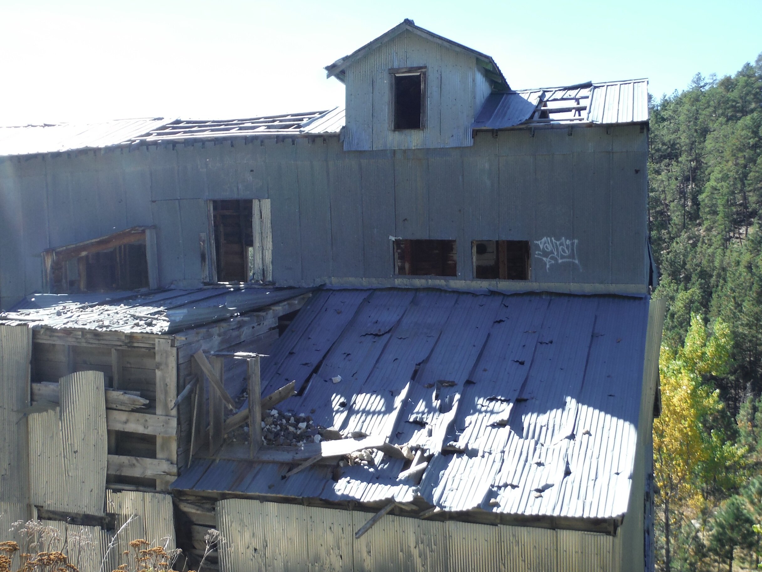
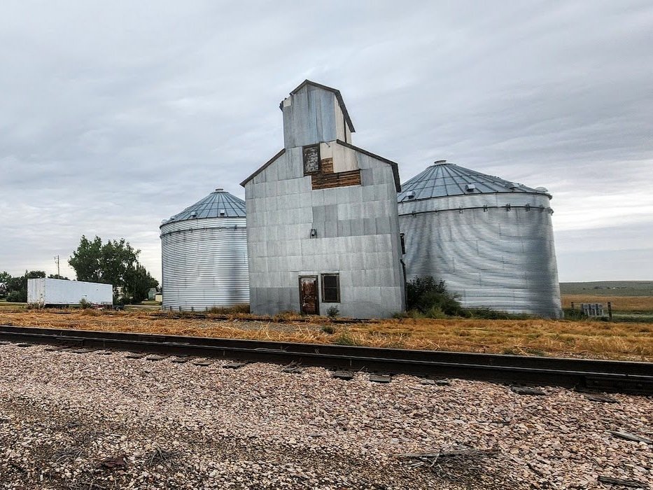
Rockerville
A small mostly abandoned town located west of Rapid City.

Folsom Cemetery
Located south of Farmingdale.
Owanka
Mostly abandoned ghost town east of Rapid City.

Scenic
Ghost town east of Rapid City off E Highway 44.

Wasta
Town near the Cheyenne River off I -90.
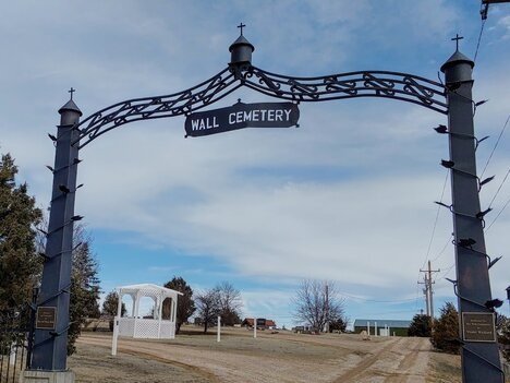
Wall Cemetery
Located in Wall.

Okaton
Ghost town near MM 183 I -90.
Deerfield Lake
Beautiful lake west of Hill City.

Flag Mountain Lookout/Fire Tower
Located near Deerfield Lake.

Dahls Chainsaw Art
Located in Hill City and Keystone.

The Town of Cottonwood
Located 12 miles east of Wall.

Mt. Hope Cemetery
Located in Quinn, east of Wall.
Pactola Lake Campground
Beautiful campground located 15 miles west of Rapid City.

Seth Bullock Lookout Tower
Located near Pactola Lake west of Rapid City.

New Underwood Cemetery
Located in the town of New Underwood.
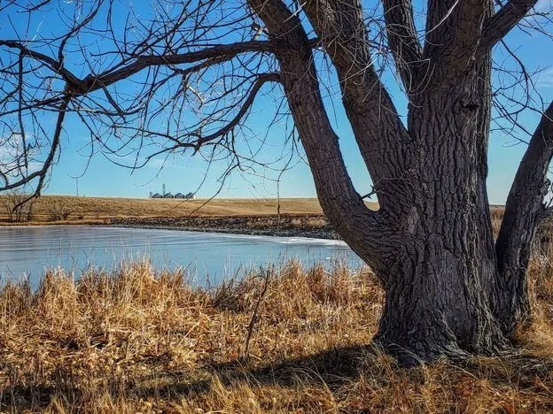
New Underwood Lake
Just north of the town of New Underwood.
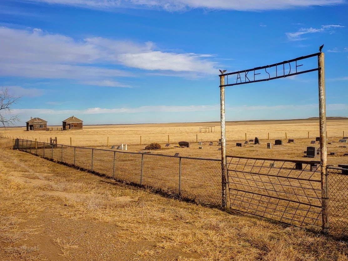
Lakeside Cemetery
Located north of exit 90 I-90.

Piedmont Cemetery
Located in Piedmont, South Dakota off Exit 44 I-90.
Lost Cabin #2 Trail
Hard hike leading into Custer State Park.
In The Town Of Quinn
Located 6 miles east of Wall.
Mount Warner Summit
Located off S Highway 16 near Hill City.
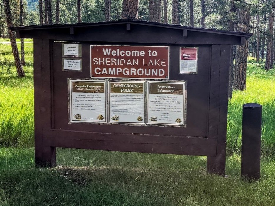
Sheridan Lake Campground
Located north of Hill City, South Dakota off Highway 385.

Gold Mountain Mine Interpretive Site
Located just northwest of the town of Hill City, South Dakota.

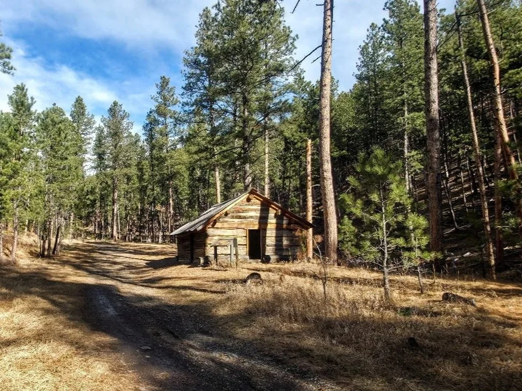
Old Miner’s Cabin
Located on the back roads near Hill City, South Dakota.

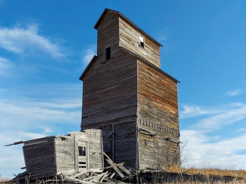
Spokane Ghost Town
Spokane Ghost Town is a cool place to visit if you like history and checking out old houses.
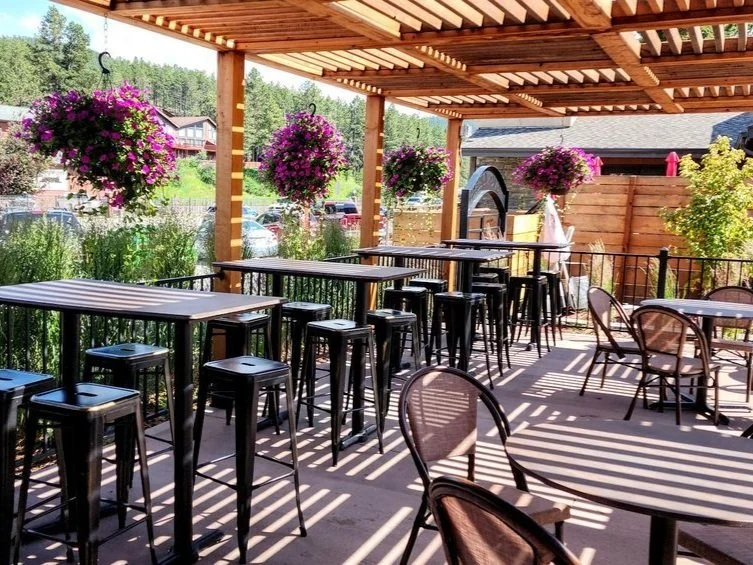
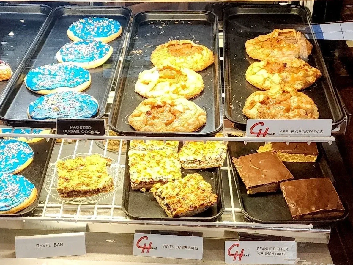
Lemongrass
Nice restaurant and bar in downtown Hill City, South Dakota.

Bumpin Buffalo Bar And Grill
Located in downtown Hill City, South Dakota.
Silver City
Small town in Pennington County.

Silver City Cemetery
Located east of the town of Silver City, South Dakota.

Silver Dollar Saloon
Located just south of Hill City, South Dakota.

The Mickelson Trail
This wonderful bike/hiking trail is 109 miles long and runs from Deadwood to Edgemont.
Grizzly Creek Trailhead
Located in the Grizzly Bear Campground by Keystone, South Dakota.

Norbeck Overlook
Located on Iron Mountain Road just southwest of the town of Keystone.

Iron Mountain Picnic Ground
Nice picnic area located off Iron Mountain Road.
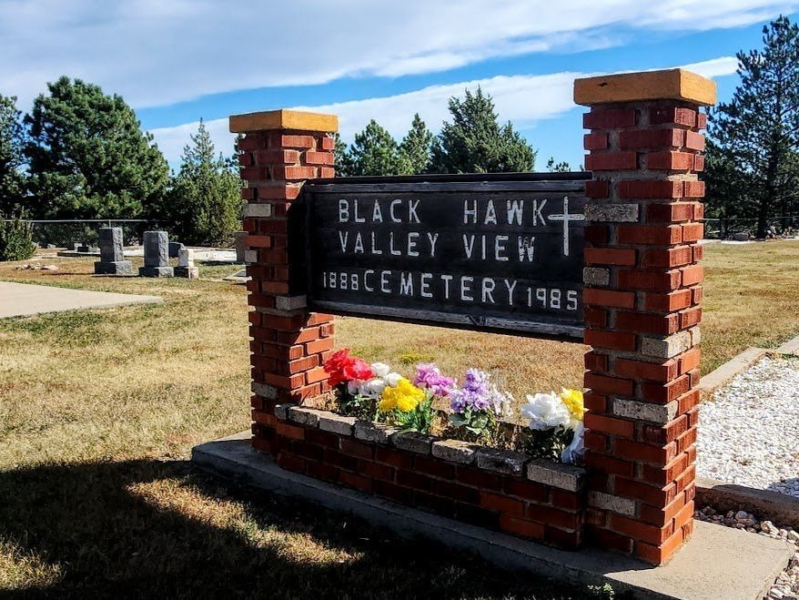
Black Hawk/Valley View Cemetery
Located in Black Hawk, South Dakota.
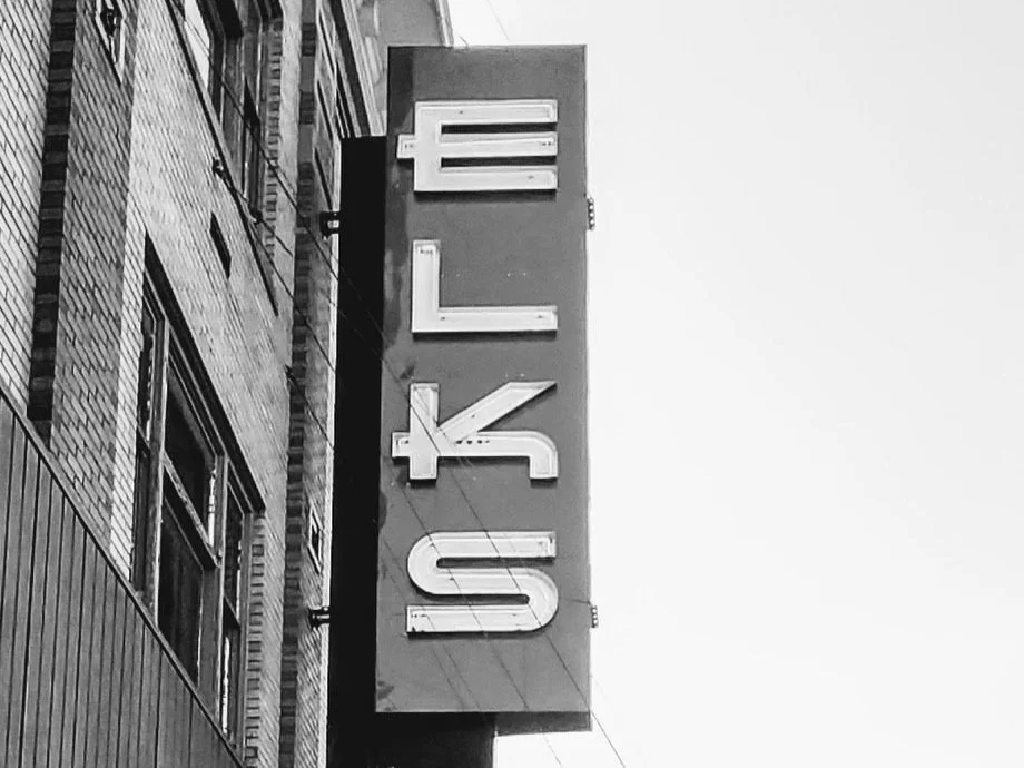
Elks Theatre
Located in downtown Rapid City, South Dakota.
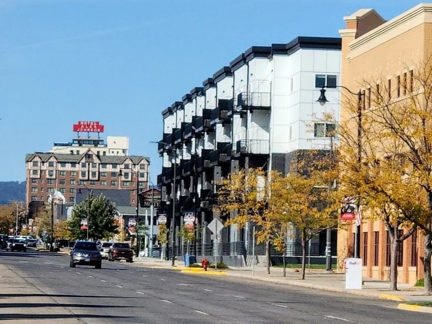
Rapid City, South Dakota
Second largest city in South Dakota.

Thirsty’s Burgers & Beer
Located in downtown Rapid City, South Dakota.

Piedmont, South Dakota
Located just west of Rapid City, South Dakota.
Piedmont Trailhead
Trail that goes up to an overlook of Piedmont, South Dakota.

Nemo, South Dakota
Small town west of Rapid City off Nemo Road.

Prairie Homestead
Located on Highway 240 just south of Exit 131, Interstate 90.

Halley’s Store
Cool antique store in Keystone, South Dakota with tons of history.

Minuteman Missile National Historic Site
Located off Exit 131 Interstate 90 just east of Wall, South Dakota.

Main Street Square
Located in downtown Rapid City, South Dakota.

Palmer Creek Trail
Short trail that leads to Lost Cabin #2 Trail.

Sage Creek Rim Road
Dirt road in the Badlands that goes to several lookouts.

Interior, South Dakota
Small town located near the Badlands.
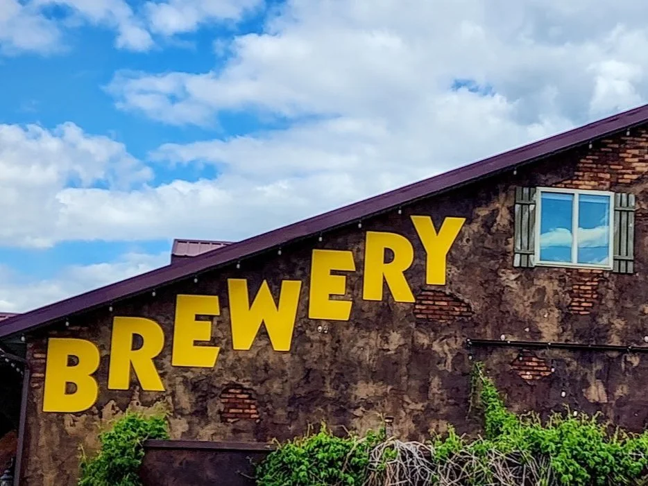
Sick-N-Twisted Brewery
Located in Hill City, South Dakota.

Botany Canyon Trail
Three mile hike down to a beautiful canyon.

Keystone School And Museum
Free museum located in Keystone, South Dakota.
Mitchell Lake
Small lake just east of Hill City, South Dakota.

Highway 244
Pretty highway that goes to Mount Rushmore.
St. Elmo Peak
Located near Hill City, South Dakota.
Colonial House
Delicious restaurant in Rapid City, South Dakota.
Historic Gorman Cabin
Located in Silver City, South Dakota.
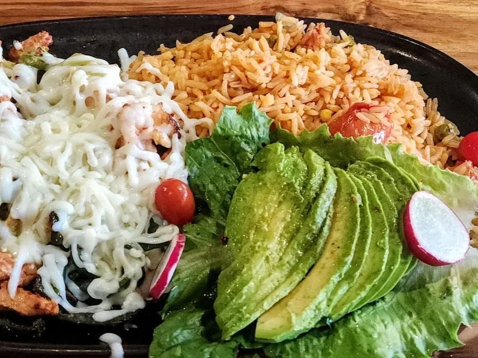
Ma Cualli
Delicious Mexican restaurant in downtown Rapid City, South Dakota.
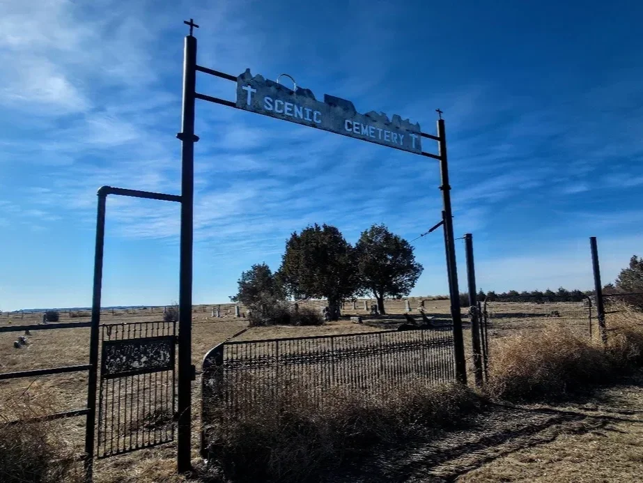
Scenic Cemetery
Small cemetery outside Scenic, South Dakota.
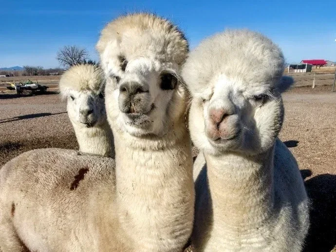
Caputa Alpacas
Fun free farm where you can feed and pet alpacas near Caputa, South Dakota.
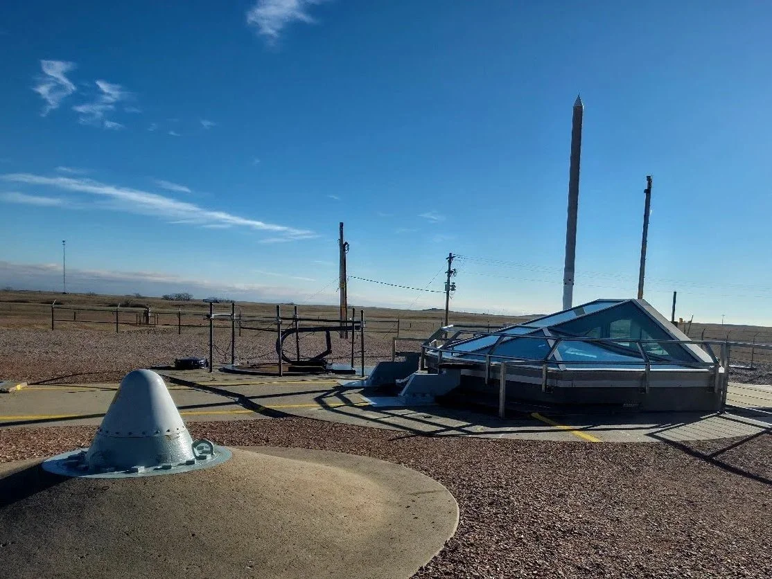
Minuteman Missile Launch Facility Delta - 09
Located just east of Wall, South Dakota.
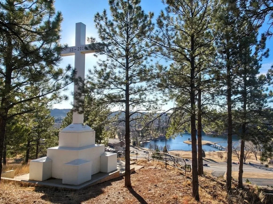
Blessed Sacrament Hike
Beautiful hike to a cross above Canyon Lake Park.
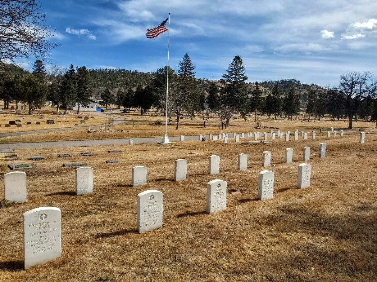
Mountain View/Mount Calvary Cemeteries
Two beautiful cemeteries located in Rapid City, South Dakota.
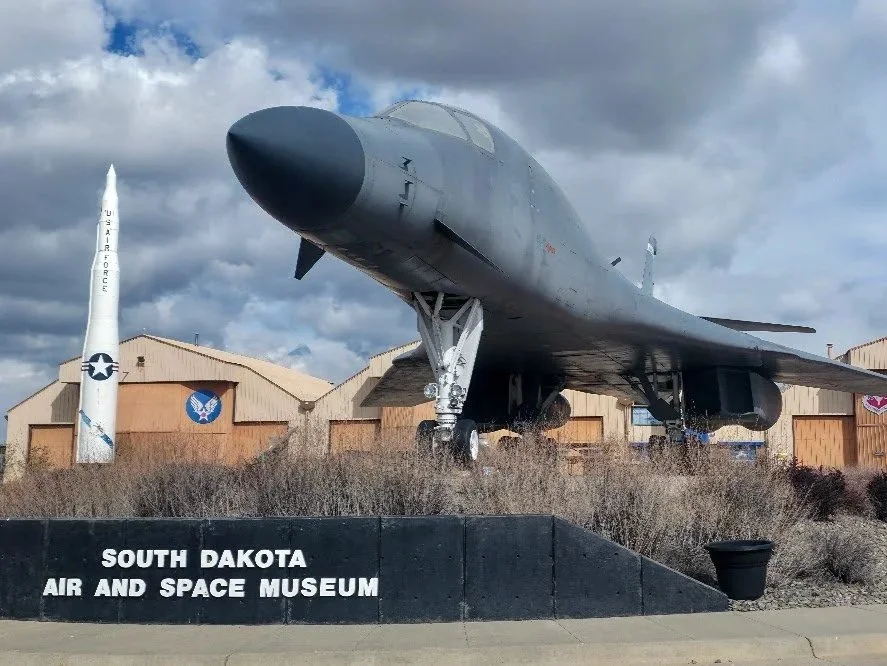
South Dakota Air And Space Museum
Located in Box Elder, South Dakota.

Lost Cabin Beer Company - Rapid City
Fun taproom in Rapid City, South Dakota.
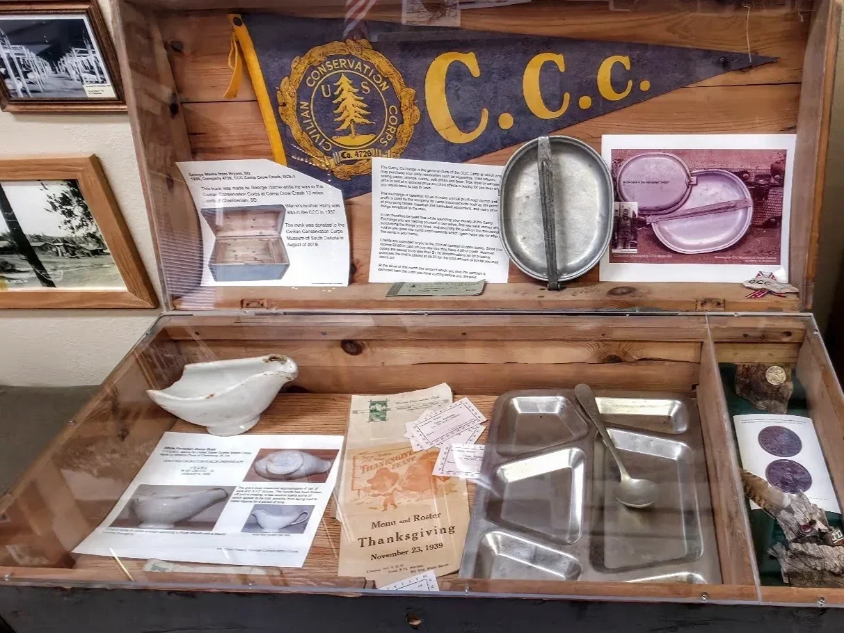
CCC Museum Of South Dakota
Located in Hill City, South Dakota.
Hill City Visitor’s Information Center
Located in Hill City, South Dakota.