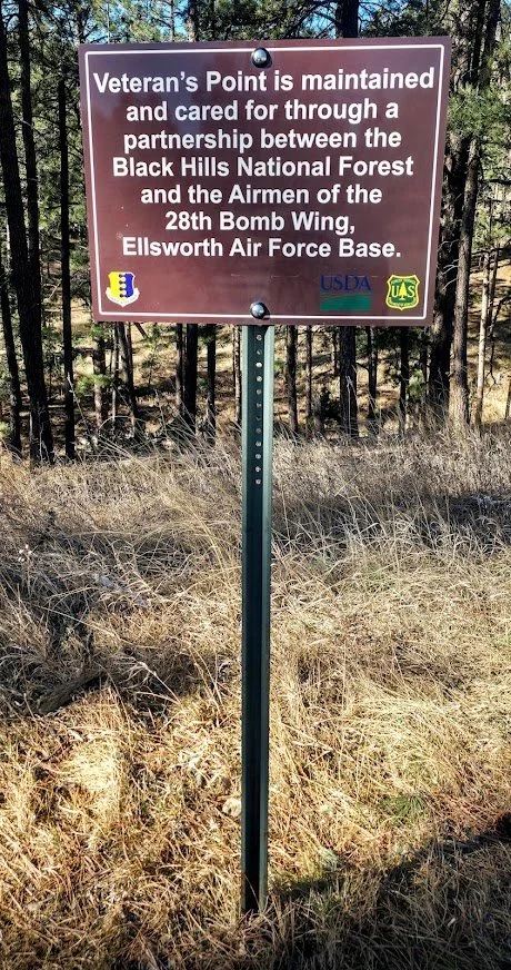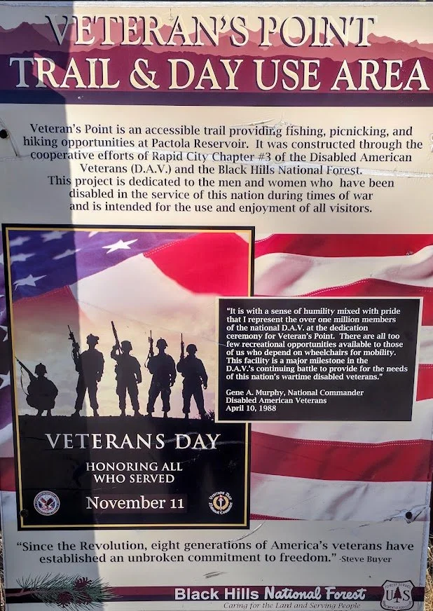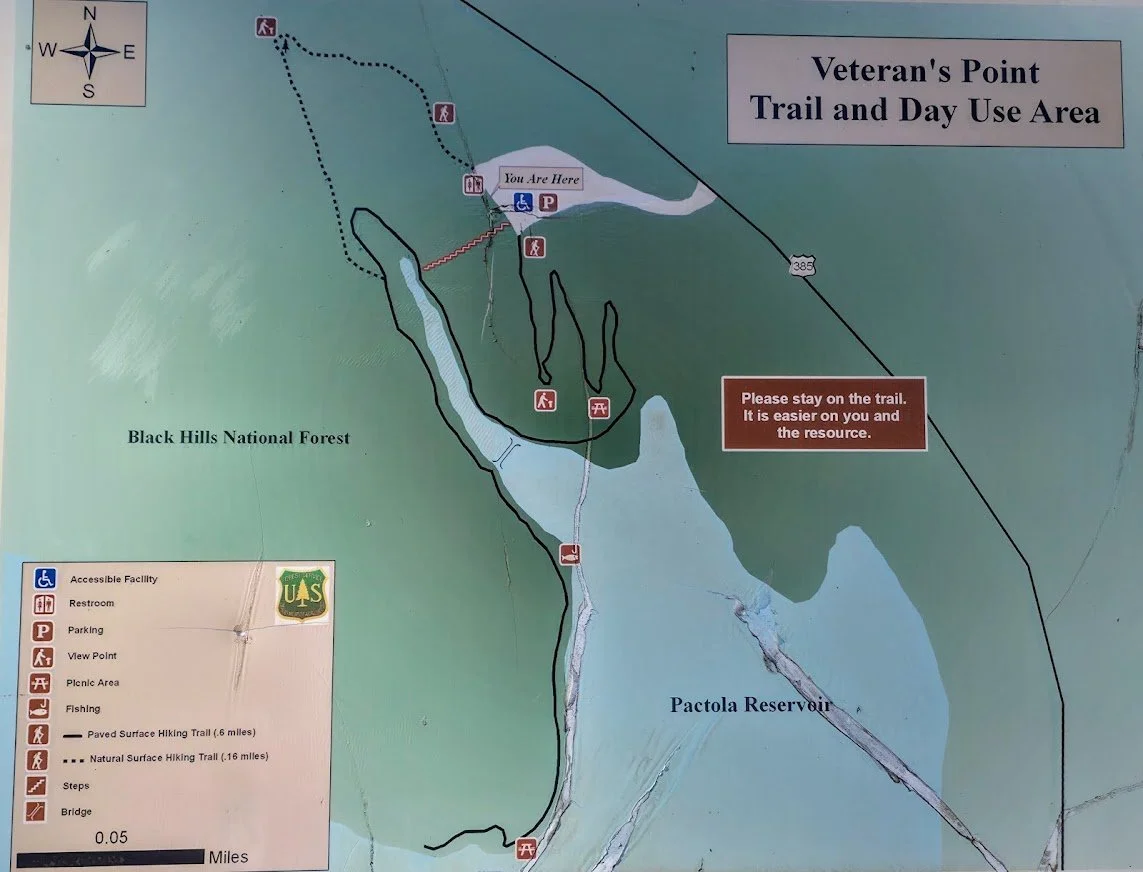


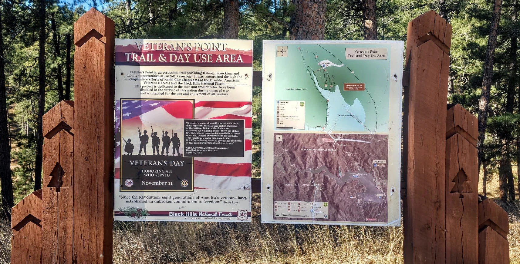
Veteran's Point Trailhead and Fishing Access
Veteran’s Point Trail is a half-mile trail on the north side of Pactola Lake that is handicapped accessible. The trail is paved the whole way and there is also a shorter wood trail just south of the parking lot if desired. There are benches and picnic tables along the trail and a couple of cool spots to go swimming. There is a small bridge that young kids have been known to jump off of depending on the water levels, but a lot of people use this area to fish so you have to be courteous to them. We use to come here all the time to launch our kayaks and swim for free.
To get there - From Rapid City, travel about 15 miles west on Highway 44. Turn south (left) onto Highway 385 and continue for 1.5 miles. The trailhead will be on the west side of the highway. There is some construction going on Highway 385 as of February 2026 so there are some road closures south of Pactola Lake so be aware of that.

Beginning of the trail. Lots of flowers in the summer.


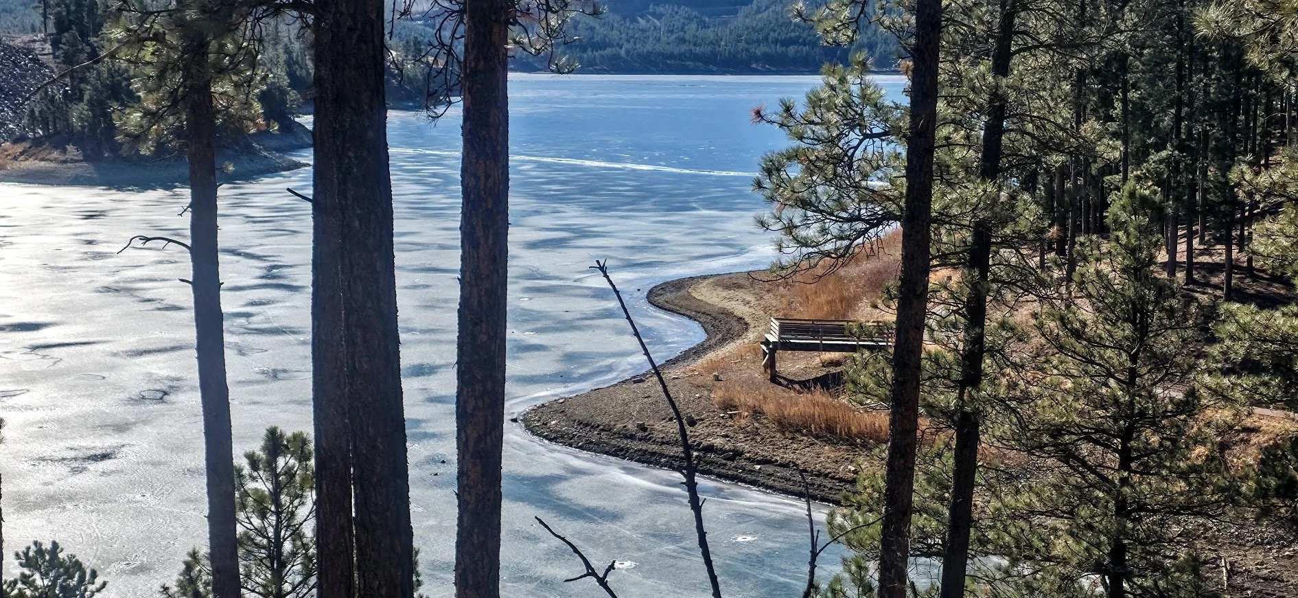
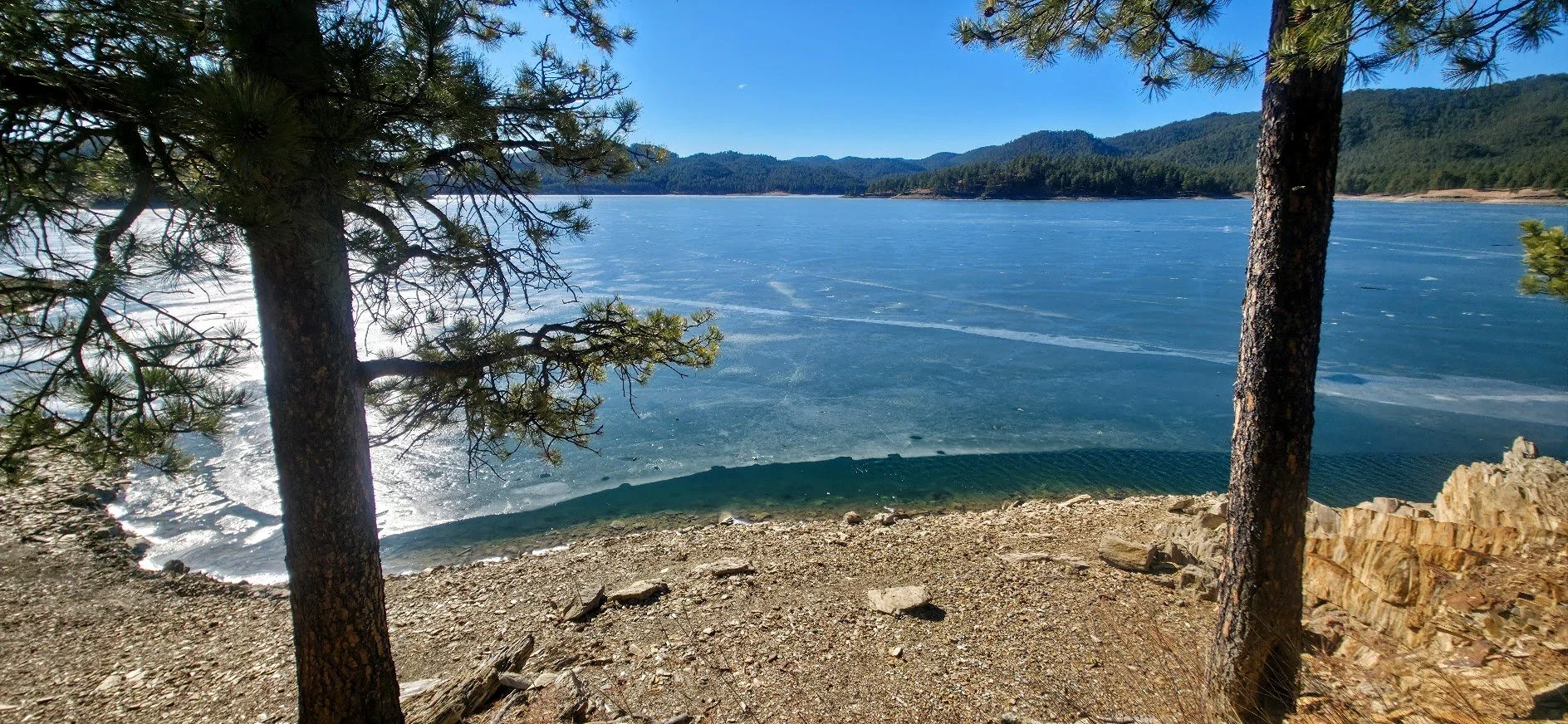
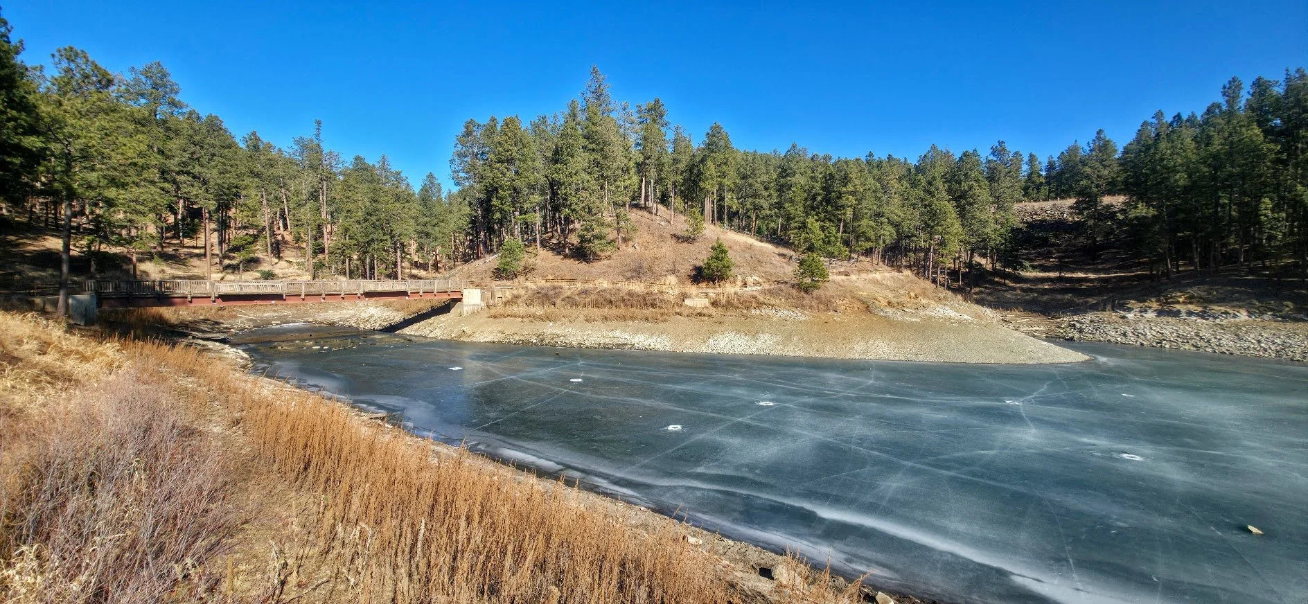
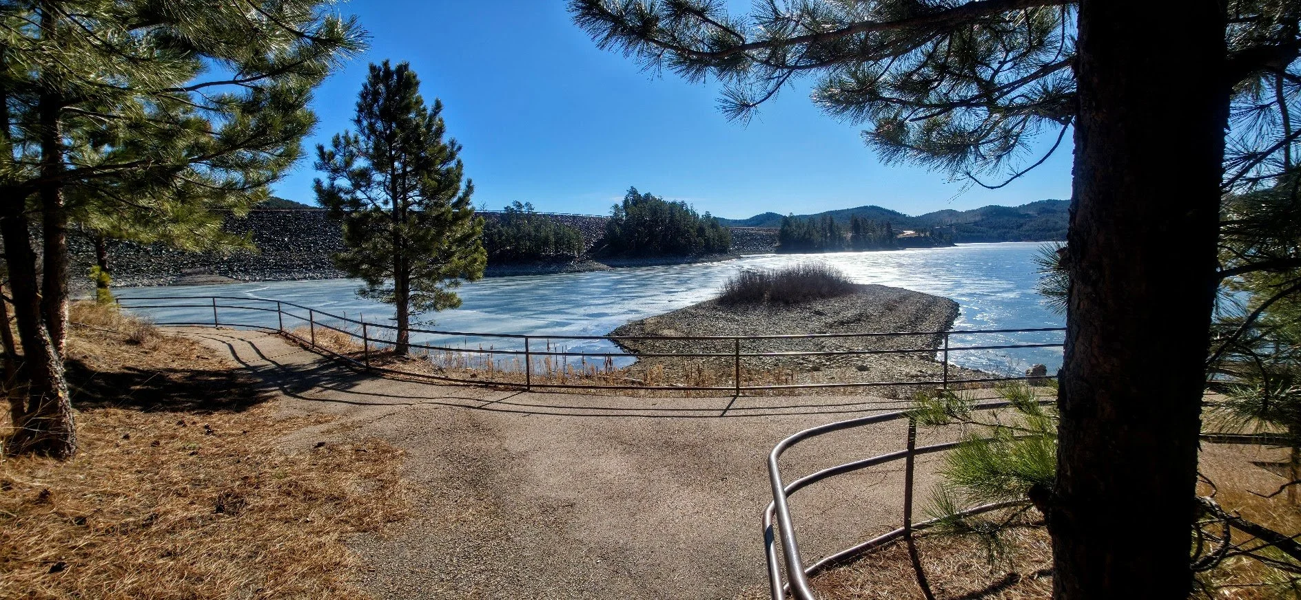
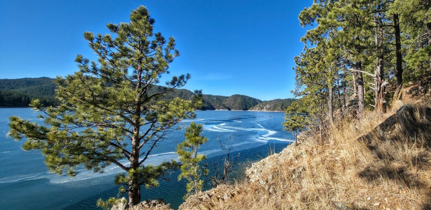
February 2026 - lake is really down.


Morning hike and saw 8 turkey vultures just sunning themselves. Pretty cool.
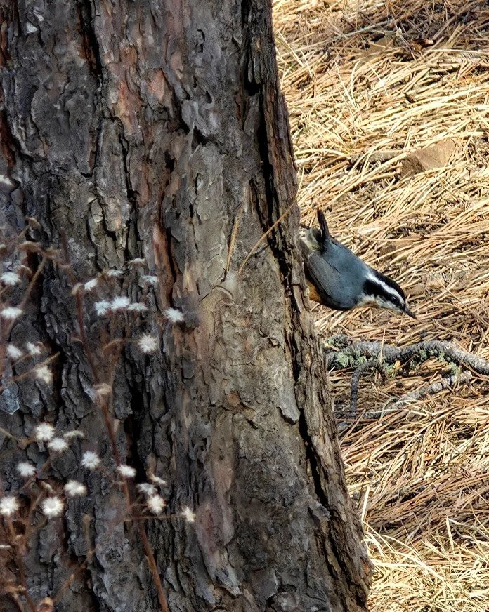
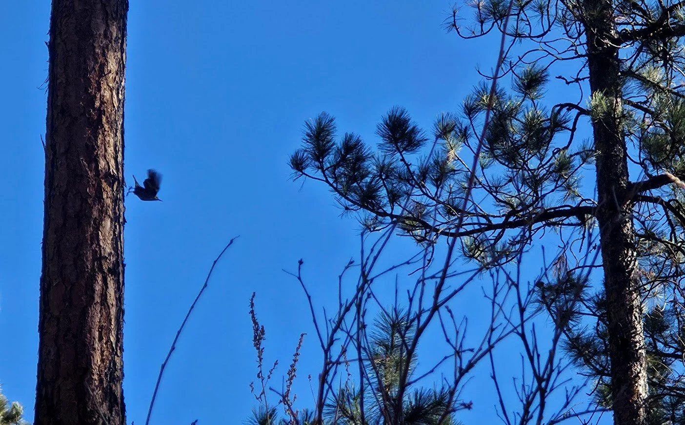
Lots of birds in the area.

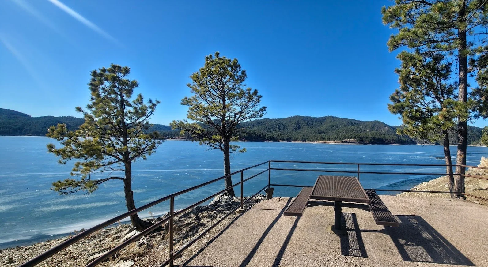
Cool picnic area - summer.
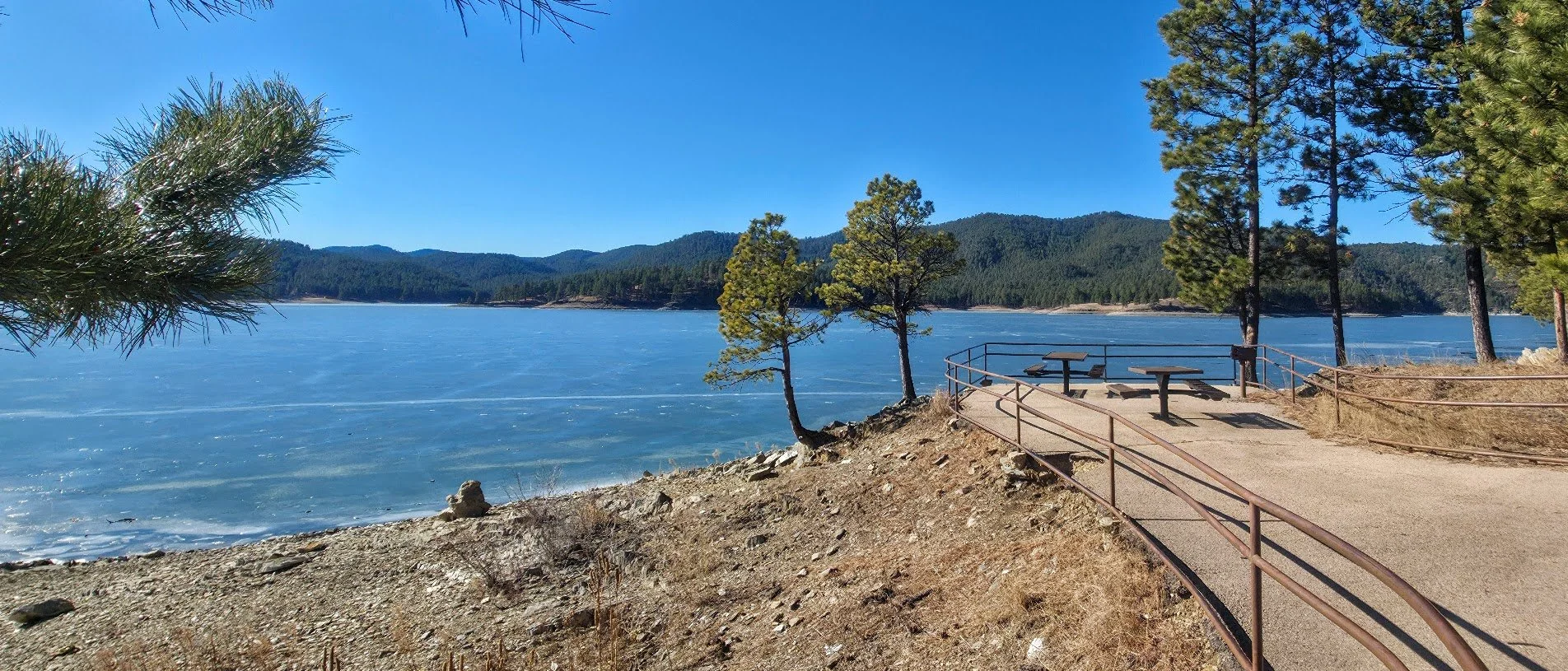
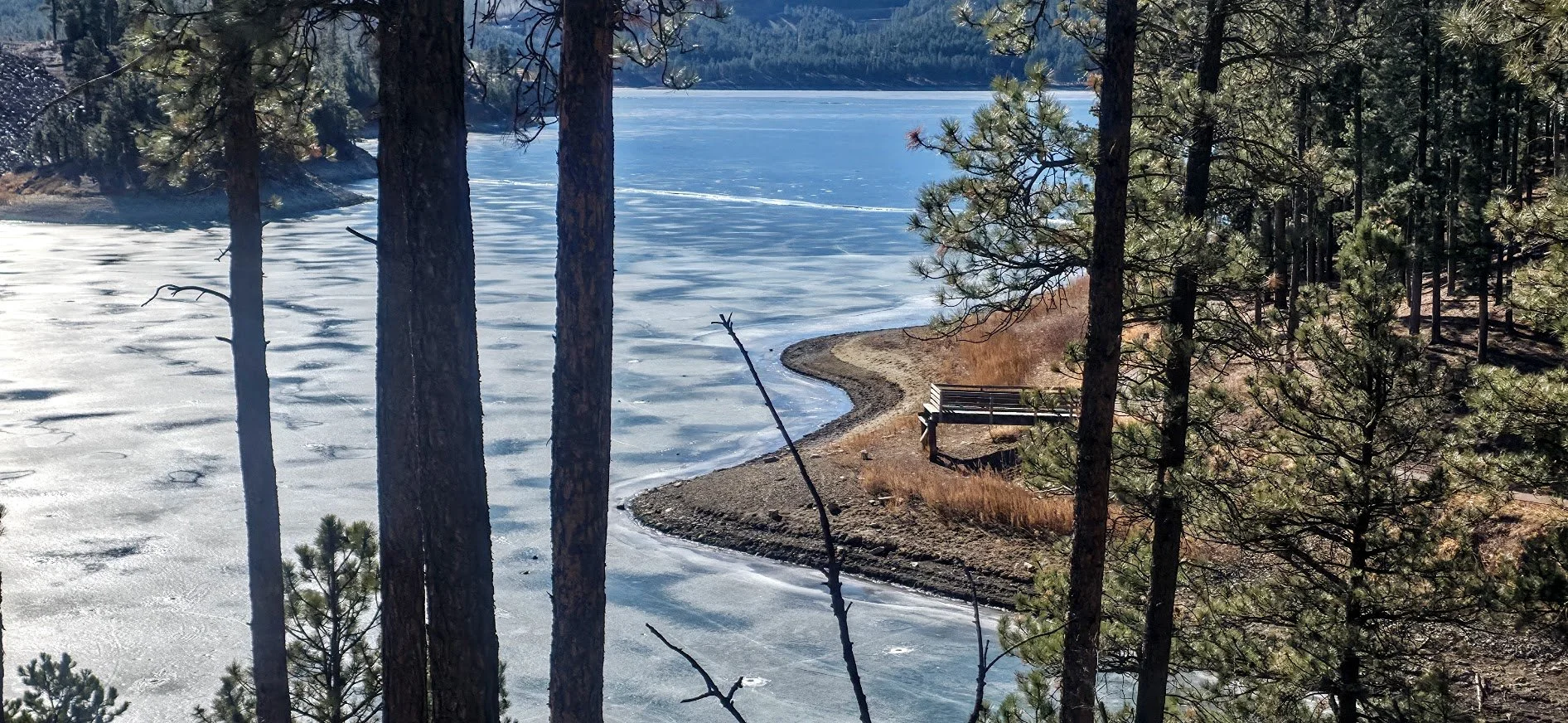
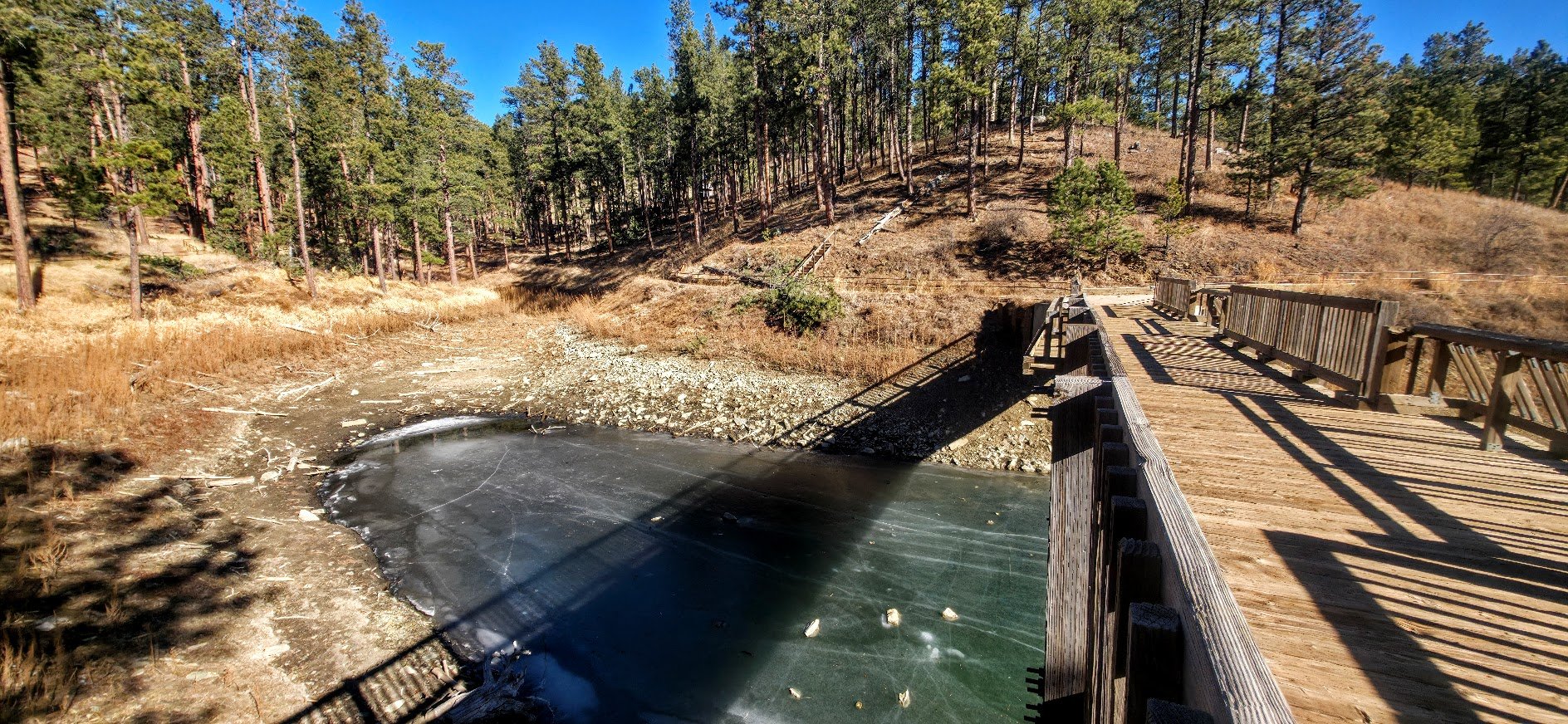
Same picture in winter - lake is barely frozen - February 2026.
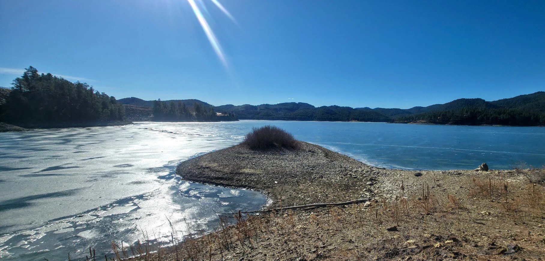
Usually can’t walk out here - under water.
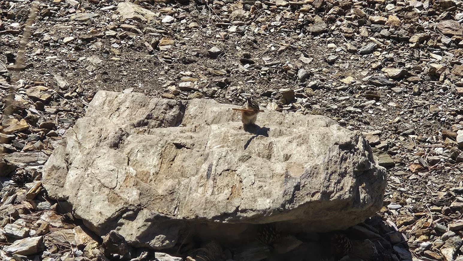
Friendly fellow.

One of the nice places to sit along the way.


Another place to swim if you want to be alone.

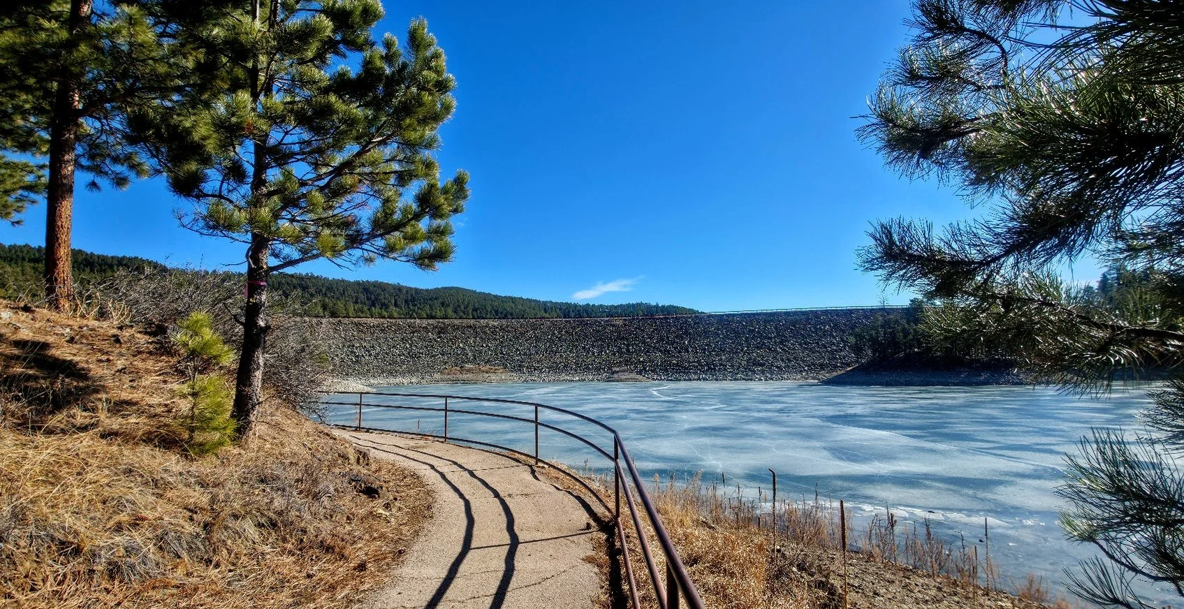
When Pactola gets full.

Place we took the kids swimming when they were little - sometimes occupied by fisherman though.


Jumping off the bridge. Not too scary for younger kids.

Another place to swim.

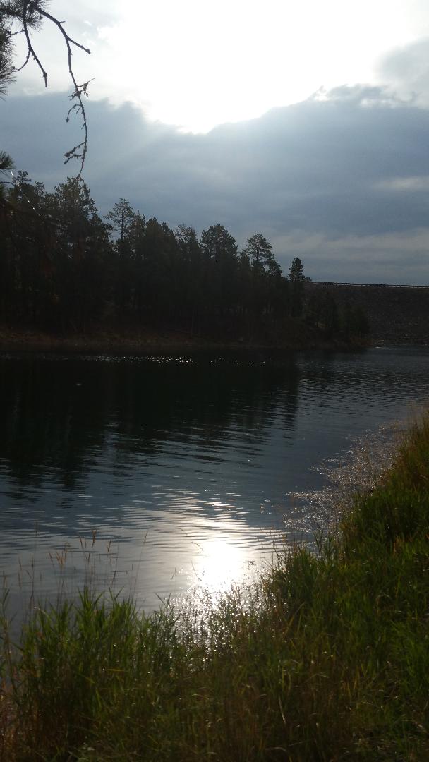
Pactola Lake in the background.

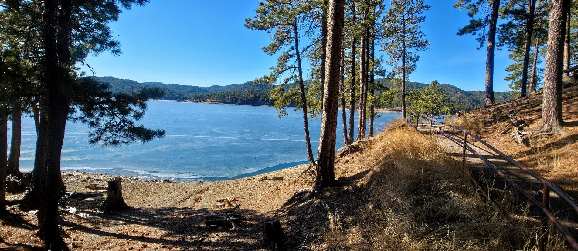
Take the side trail on the way back. It goes along the small lake area. It is very pretty.
Can see lake is really down in this photo - February 2026.

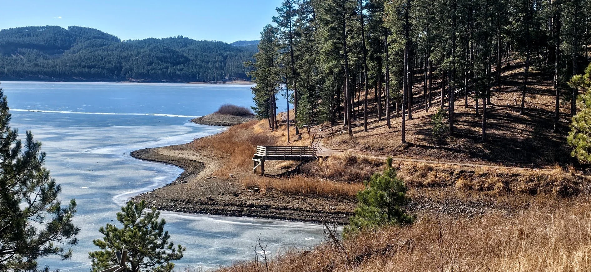
The fishing bridge.

Twenty years ago this lake was so shallow they said it would never fill back up. Obviously they were wrong - One year it flooded so bad the whole trail was completely under water. Pretty neat.


Interesting.


Pretty hike in the winter also.