

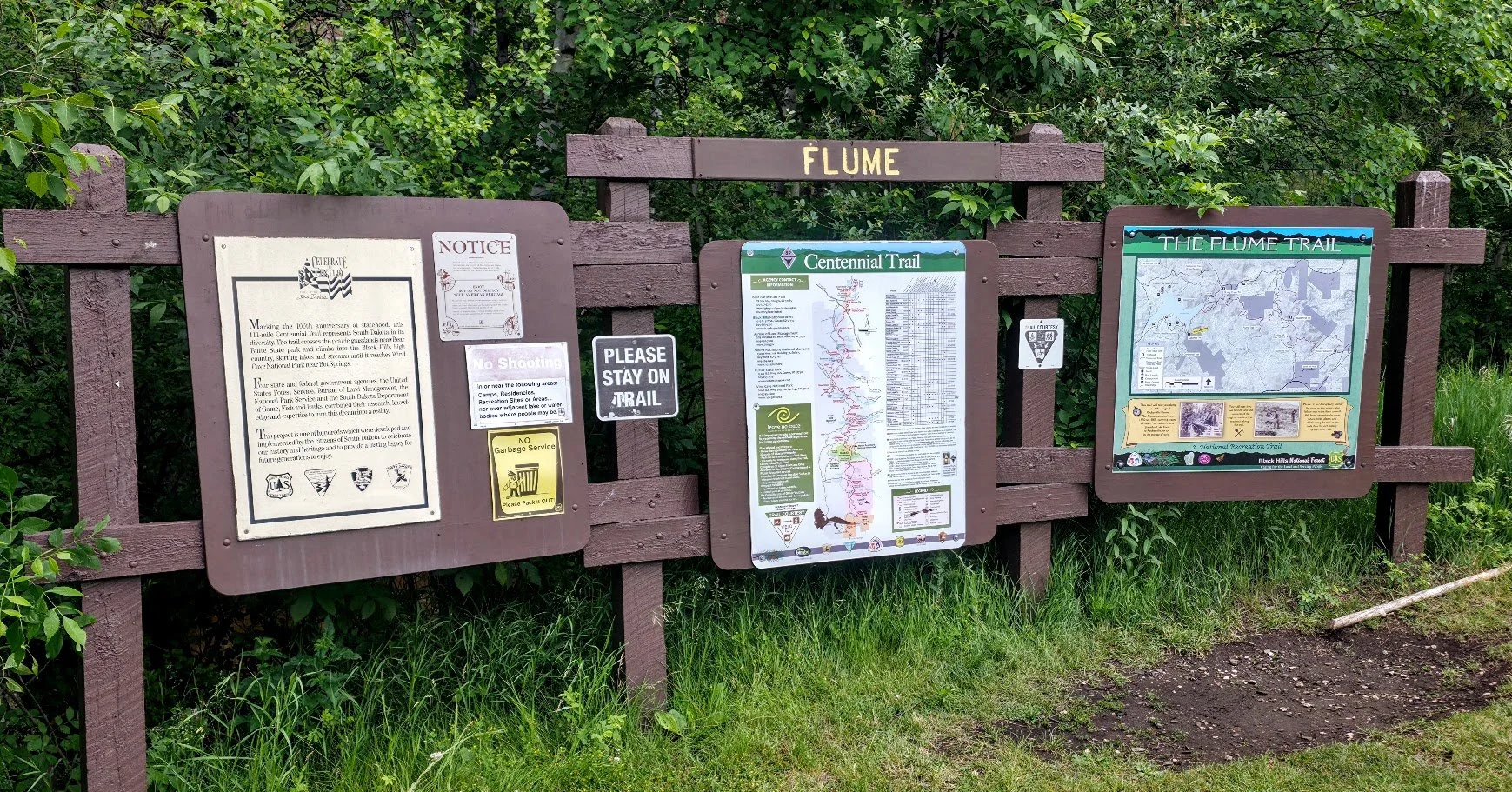
The Rockerville Flume Trail
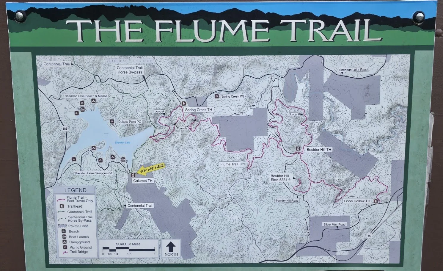
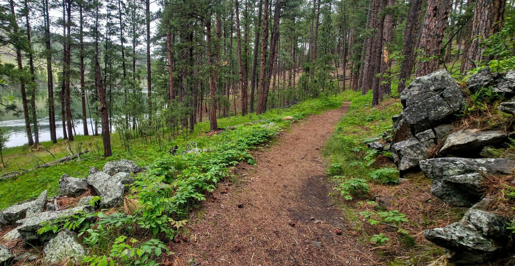
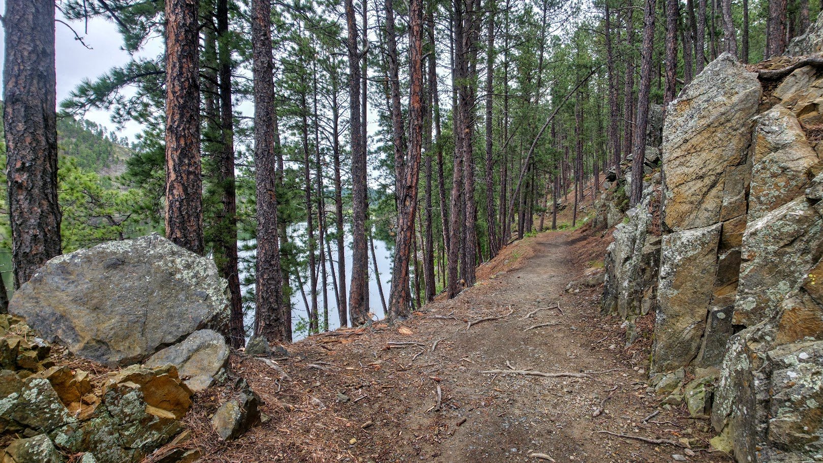
The Rockerville Flume carried water 20 miles from Spring Creek west of present day Sheridan Lake, east to near Rockerville. The flume operated until 1885, and enabled miners to transport over $20 million in gold. The trail follows the actual flume bed for part of its length and as you walk through these sections, you can see how the flume bed was built using wood and stones. The trail has been designated a National Recreational Trail because of its historical significance. Because of age and decay, there are sections of the flume that are no longer hike-able and the trail bypasses these sections. When hiking on the actual flume, the grade is gradual and the trail is generally flat and 3 to 4 feet wide, which makes for a pleasurable hiking experience. There are several side loops that you can take, but the main trail is about 13 miles long, one way.

To get to the Flume trail you start at several locations - These are my 3 recommendations -
1. Start at Coon Hollow off of S Highway 16 just west of Rapid City. You take Silver Mountain Rd which is just west of Rockerville for 1/4 of a mile and park at the Coon Hollow Parking lot. The trail runs to the east and is marked as trail 50. The trail is easy and flat for 95 percent of the time and follows the flume. You can follow this trail until it hits the road (Storm Mountain Rd) and then either turn around, hit the bike riding trail that goes back around to the left, or keep going. If you keep going it is pretty neat and continues on following the flume. Once it starts going down into the trees and veers to the left and off of the flume, the trail gets kind of small and its not as nice (you'll know when since it is no longer following the flume). I usually turn around here and go back and return on the biking trail that now will be on your right once you cross over the road (Storm Mountain Rd) again. This trail will get you back to the Coon Hollow parking lot and it gives you a full circle. (The beginning of the bike trail is sometimes wet for the 1st 100 feet- just stick with it - it gets nice). The whole trail is around 5 miles I think and it is pretty easy and beautiful. Watch out for rattlesnakes and trail cave ins (flume trail is old). The rocks on your feet can also be a lot so wear good sturdy shoes.

Parking lot at Coon Hollow. Plenty of places to park.

The path to the right is where you start - Trail 50 which will be on trees and markers - The Flume Trail


Look for the signs 50 on trees.


Parts of the Flume Trail has caved in. Need to be careful at times


Obvious sections of the Flume Trail.


Pretty rocky in parts.

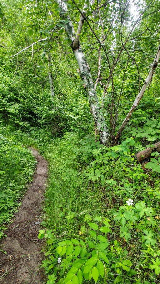
So many different sections of the trail.


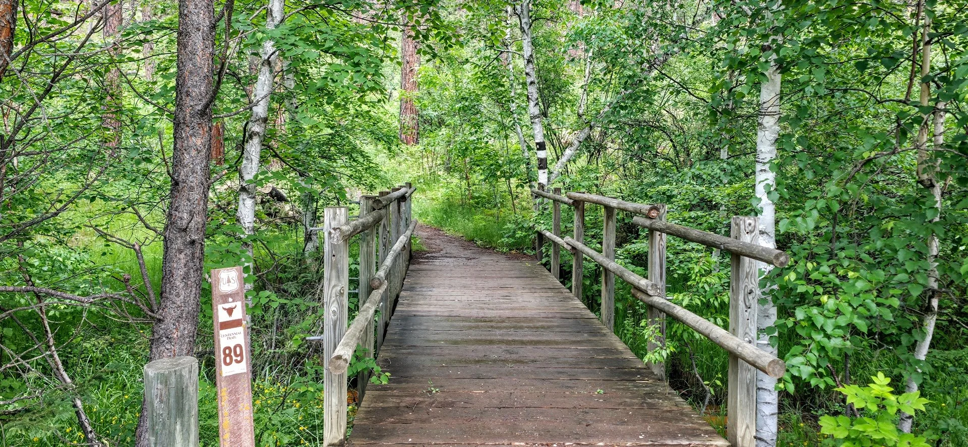
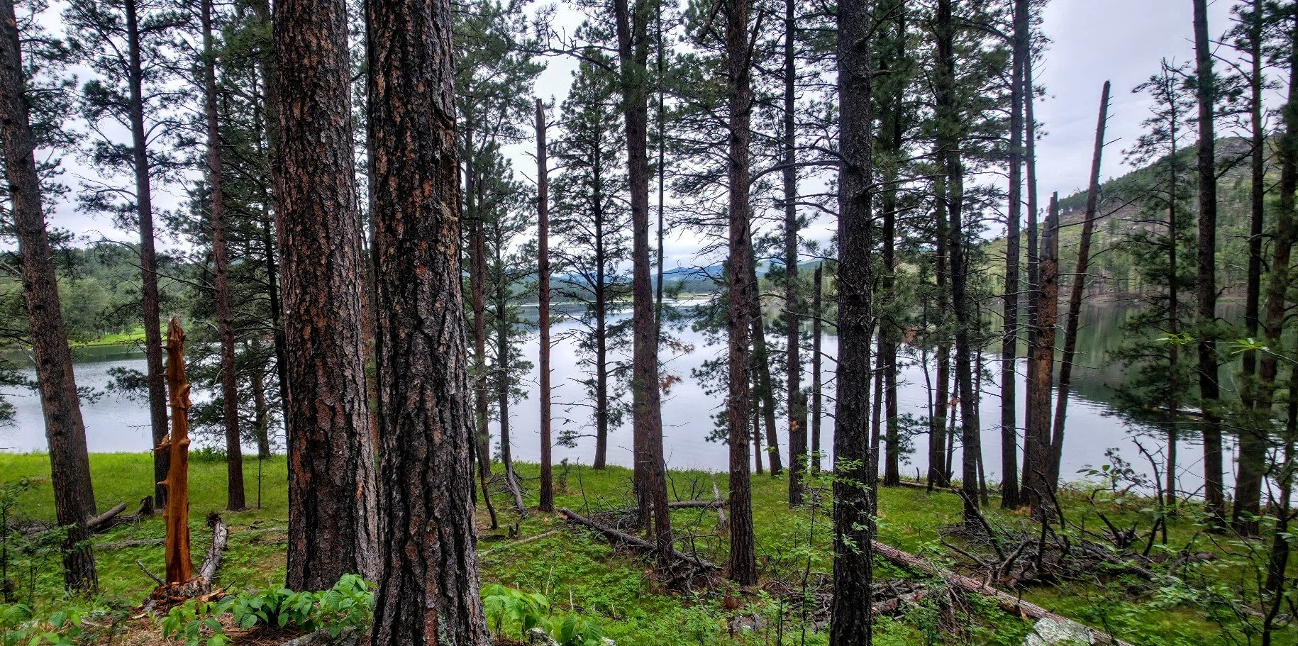
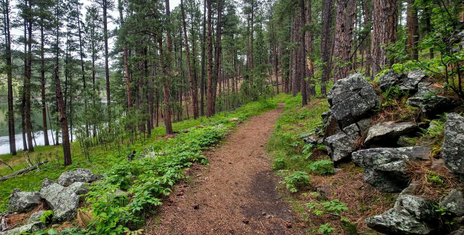
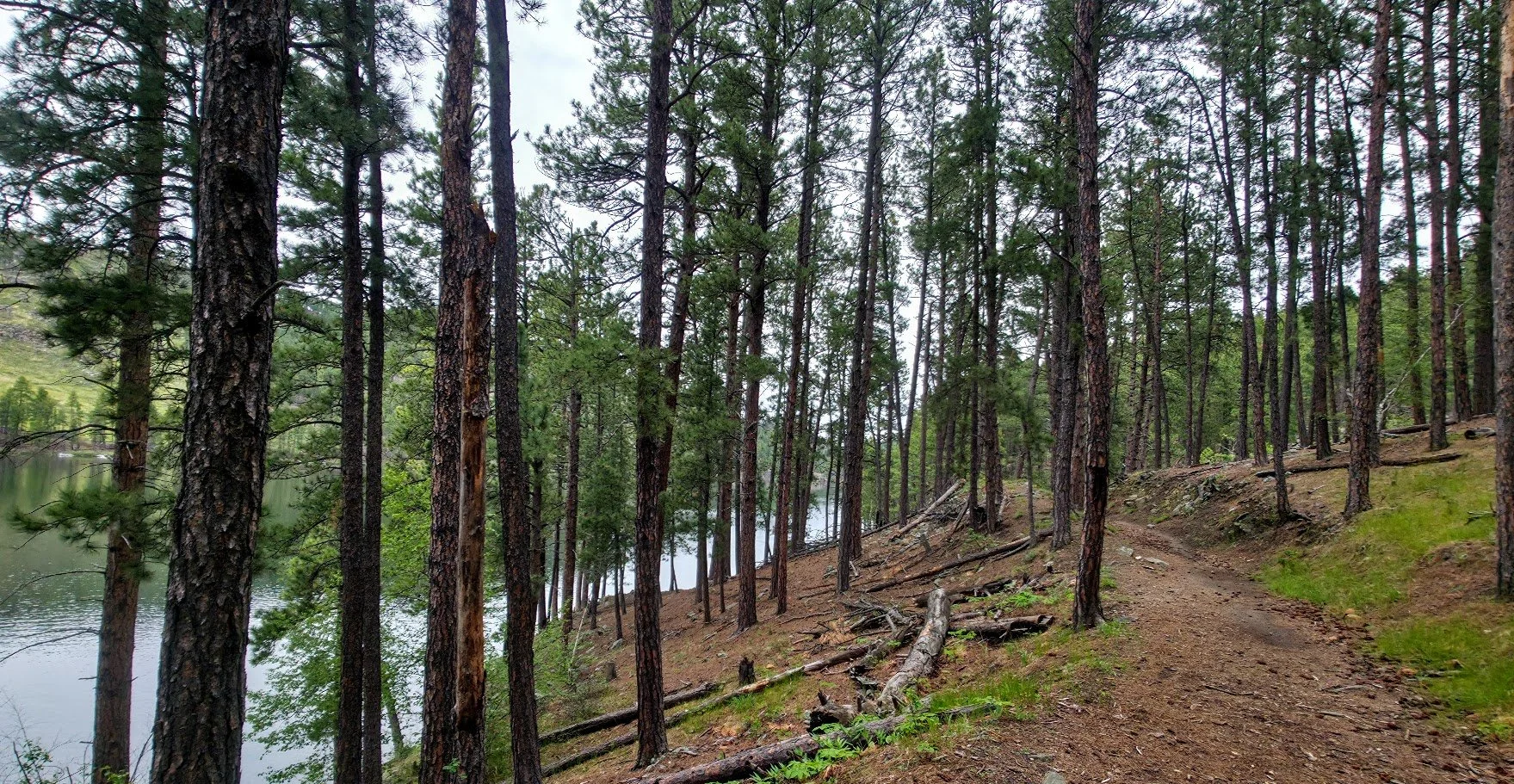
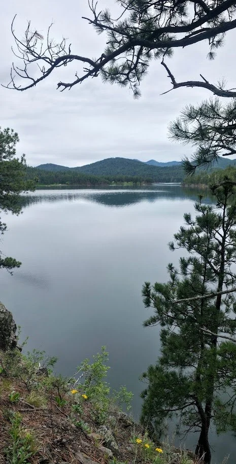
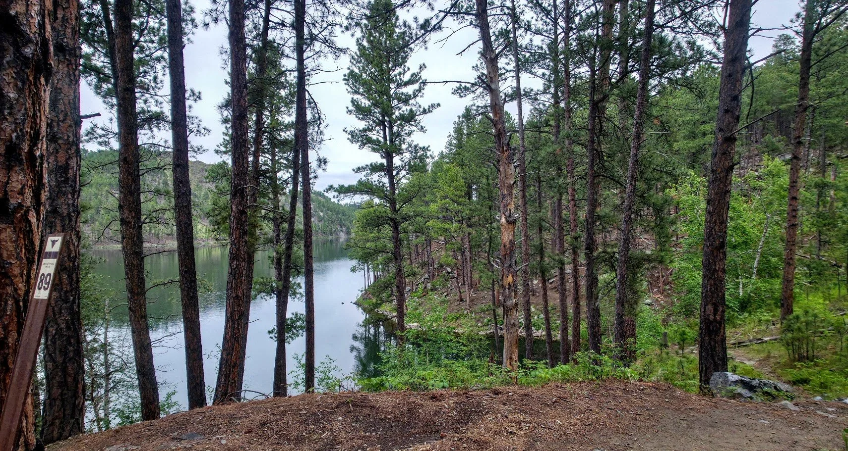
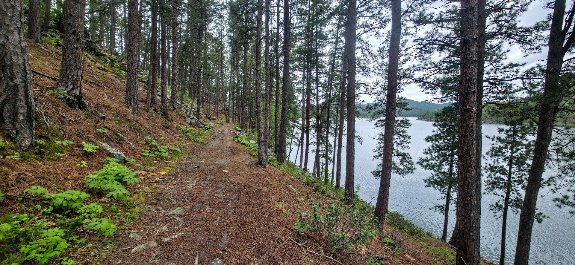
2. Start at Sheridan Lake - To get there you need to enter the lake from the south side and head towards the Sheridan Lake South Shore camping area which goes to the left. Once at the camping spot let the person at the booth know you are hiking the Flume trail (that way you will not have to pay to enter the area). Continue to the Bluewing recreation area and park (large parking lot). The trail starts at the north end of the parking lot on the east side of the lake. The trail is beautiful, follows the lake, and goes to two tunnels before the trail starts to narrow again, is harder to follow, and not as pretty. I recommend going to the first tunnel (which is long-may want to bring a flashlight) and turning around. If you want to hike a little farther, go to the second tunnel which is short. The trial to the first tunnel and back is around 2 miles. The trail has a little bit of hills but not too bad and mostly follows the flume. You can also corporate the Spring Creek Trail into this walk for a longer hike. See below for details.

Gorgeous in the fall

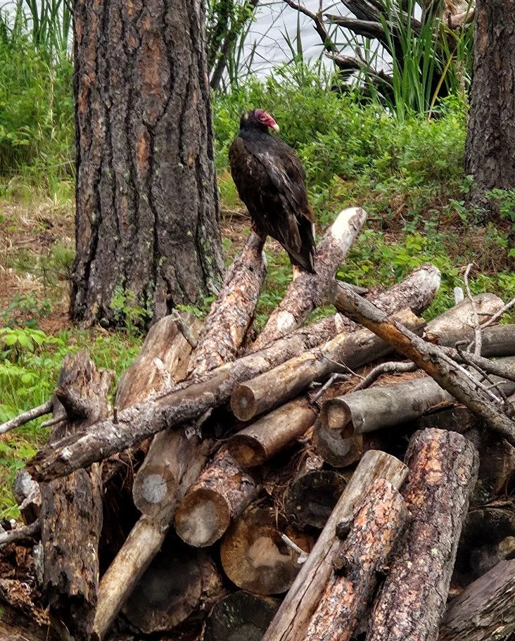
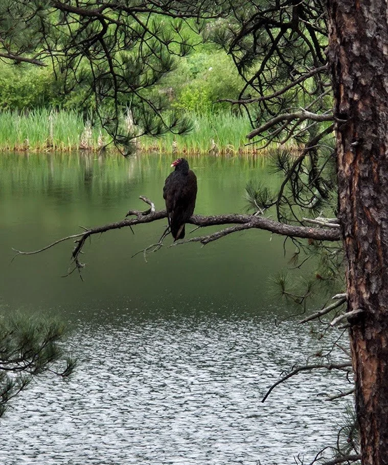
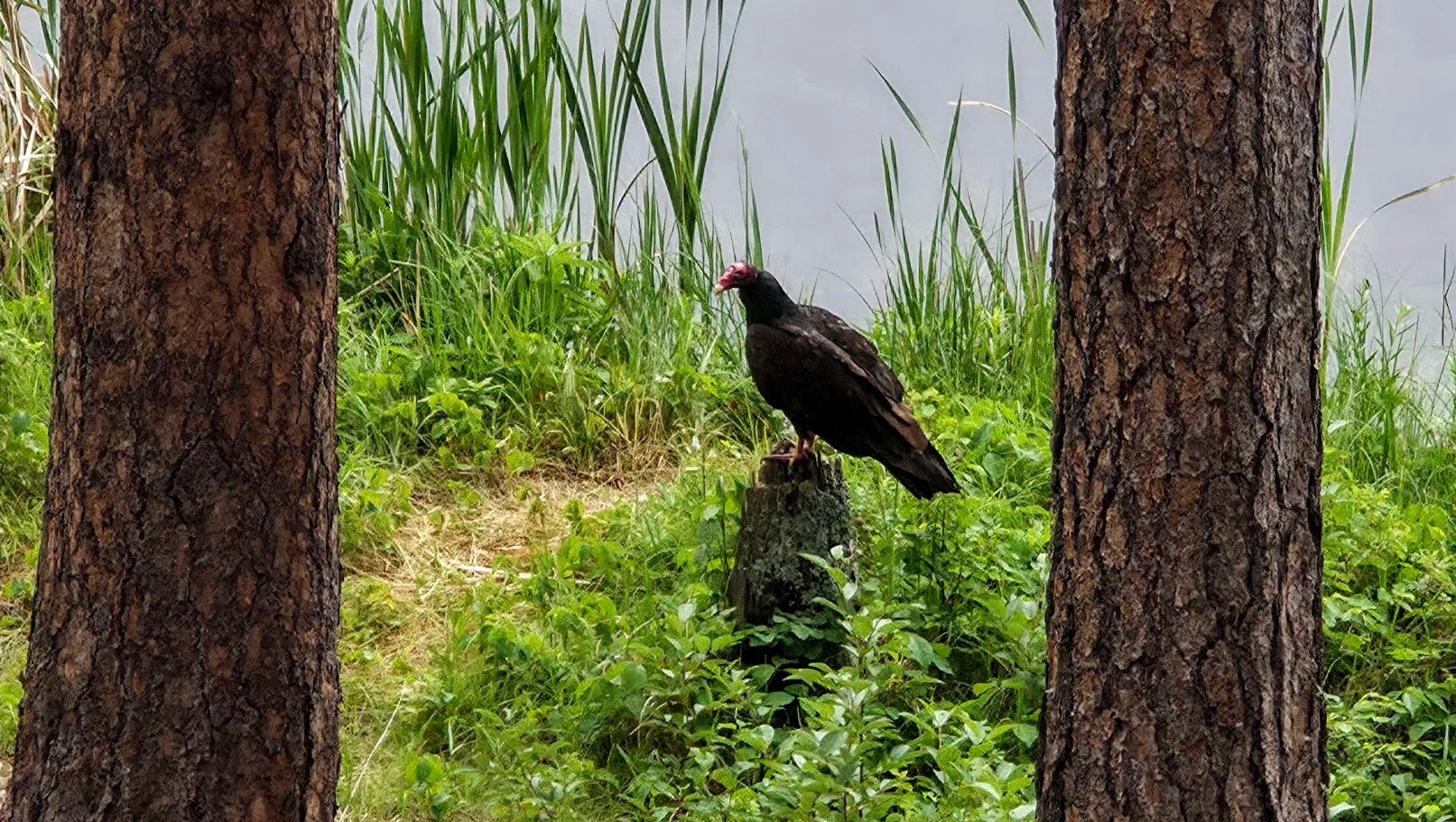
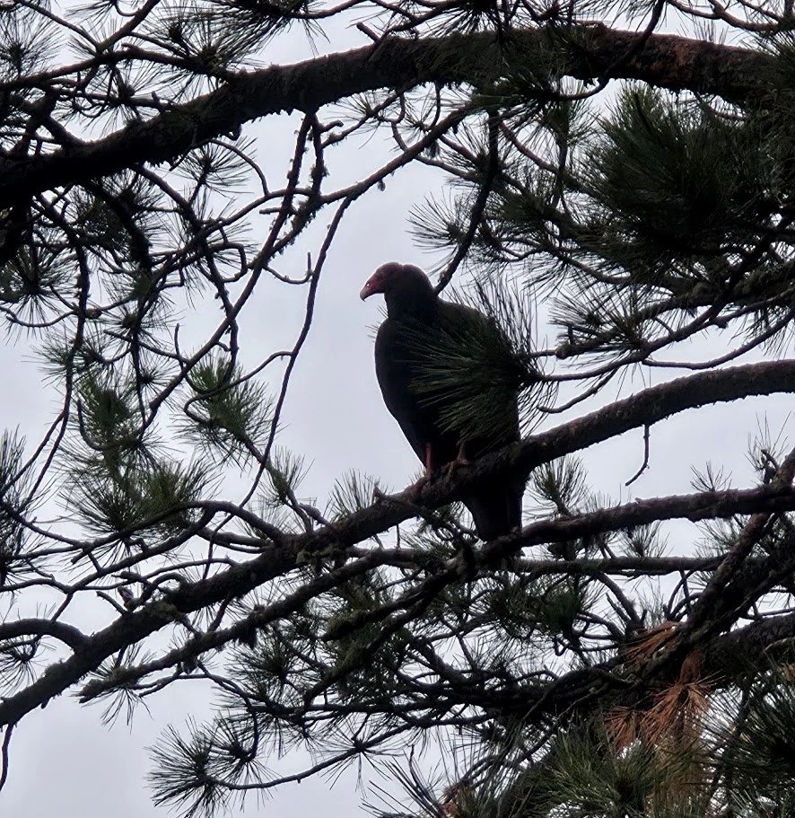
Lots of turkey vultures in the area.
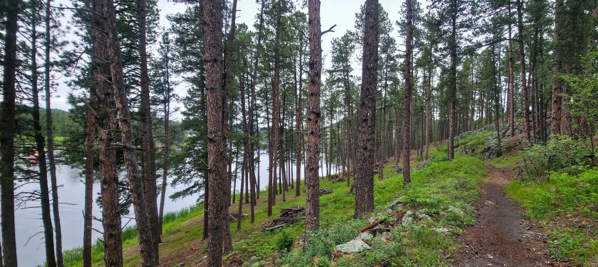
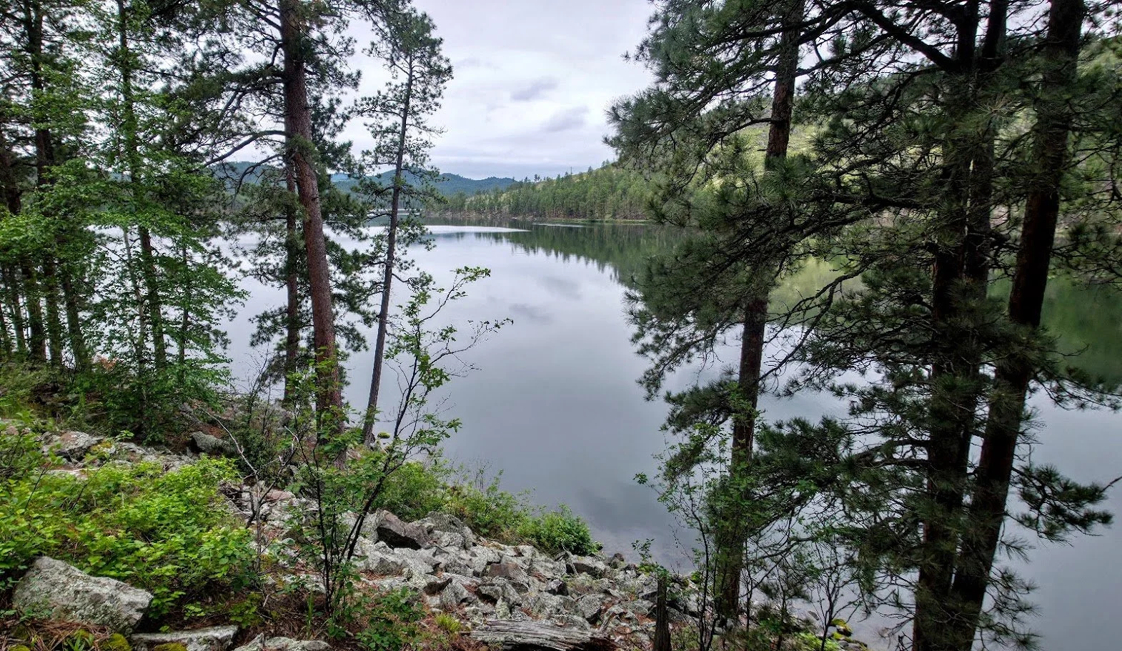
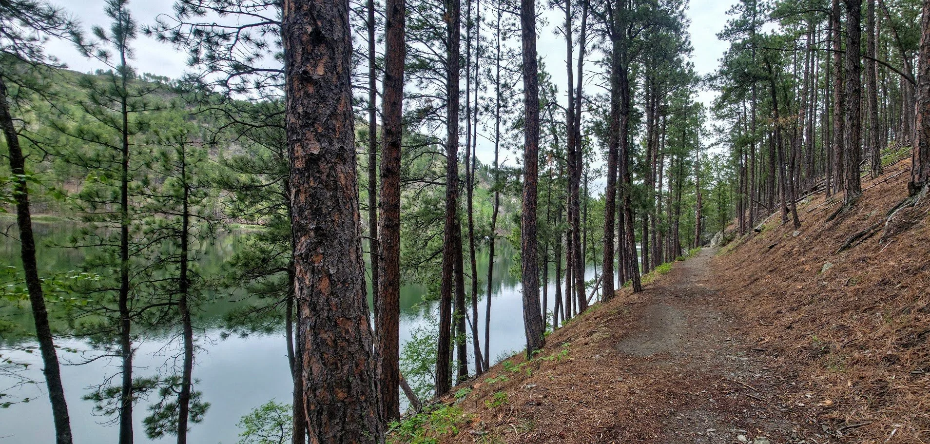
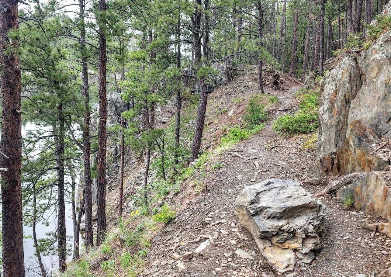
Follows the lake for a bit.

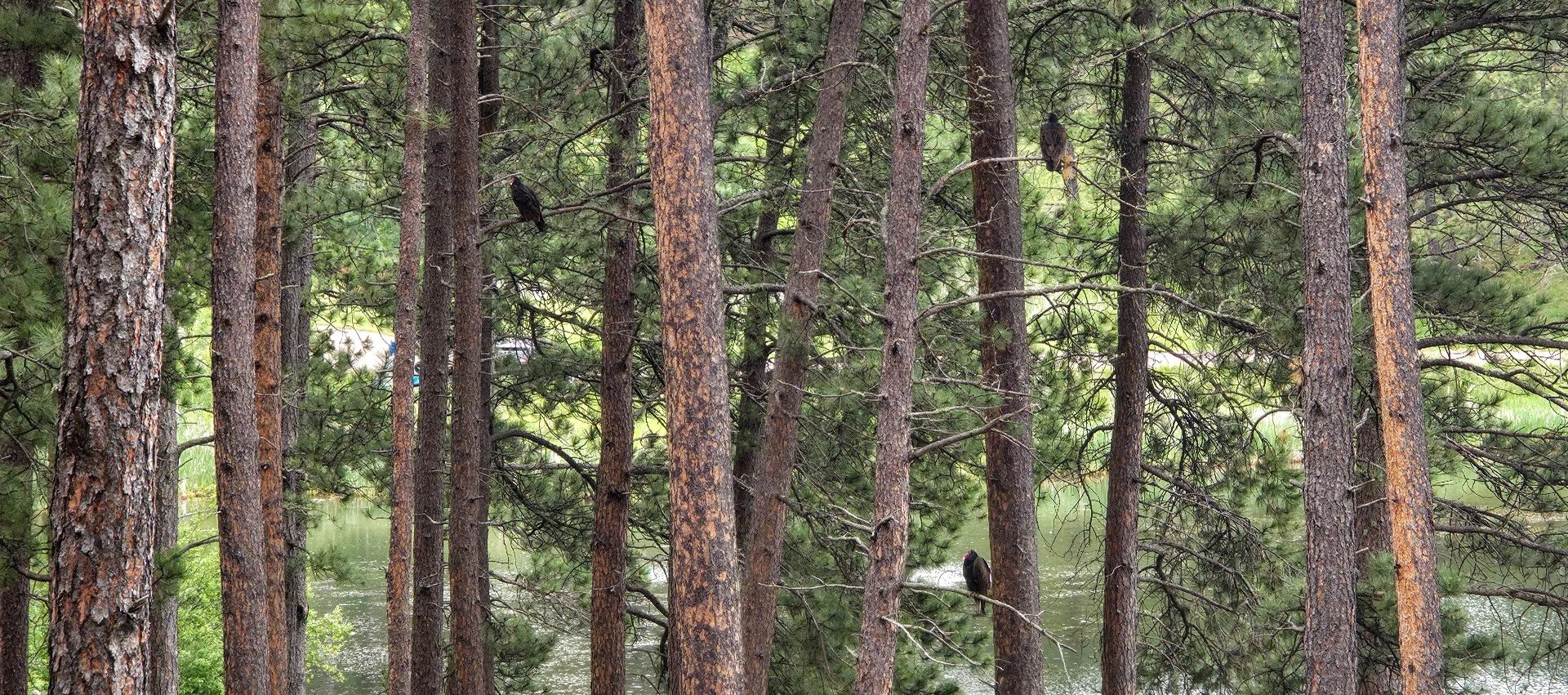
Turkey vultures everywhere.

Looking back.
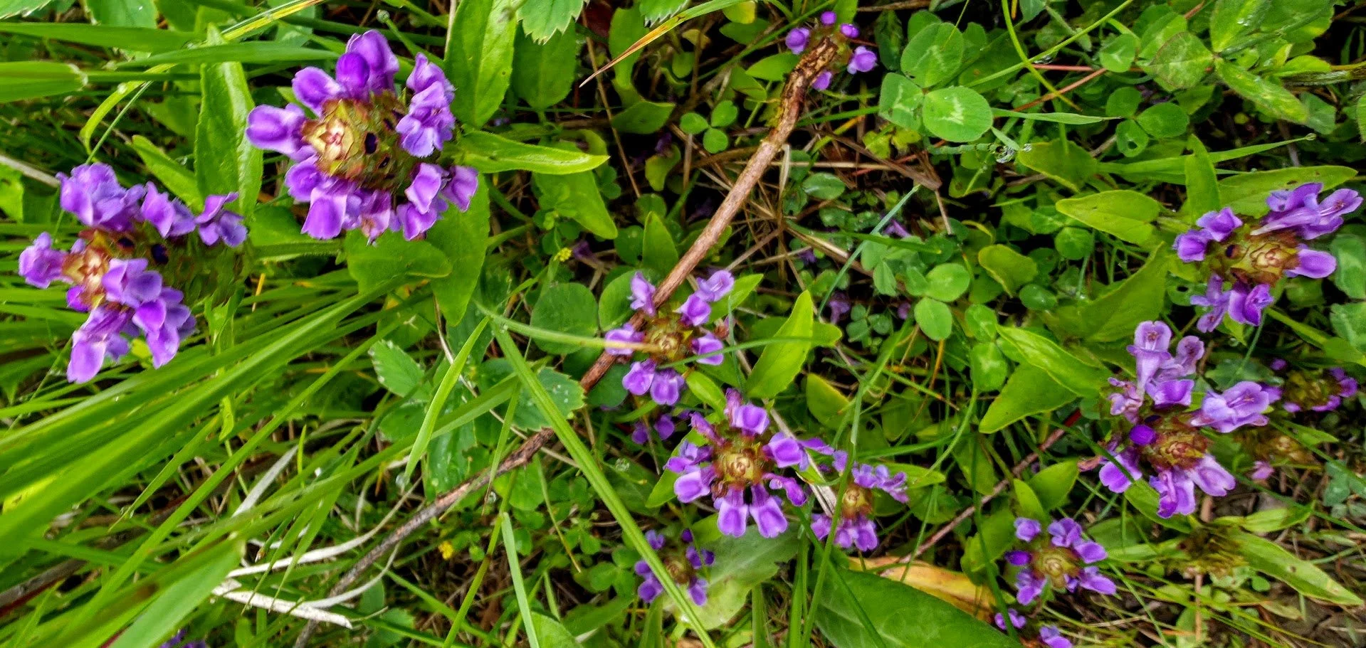
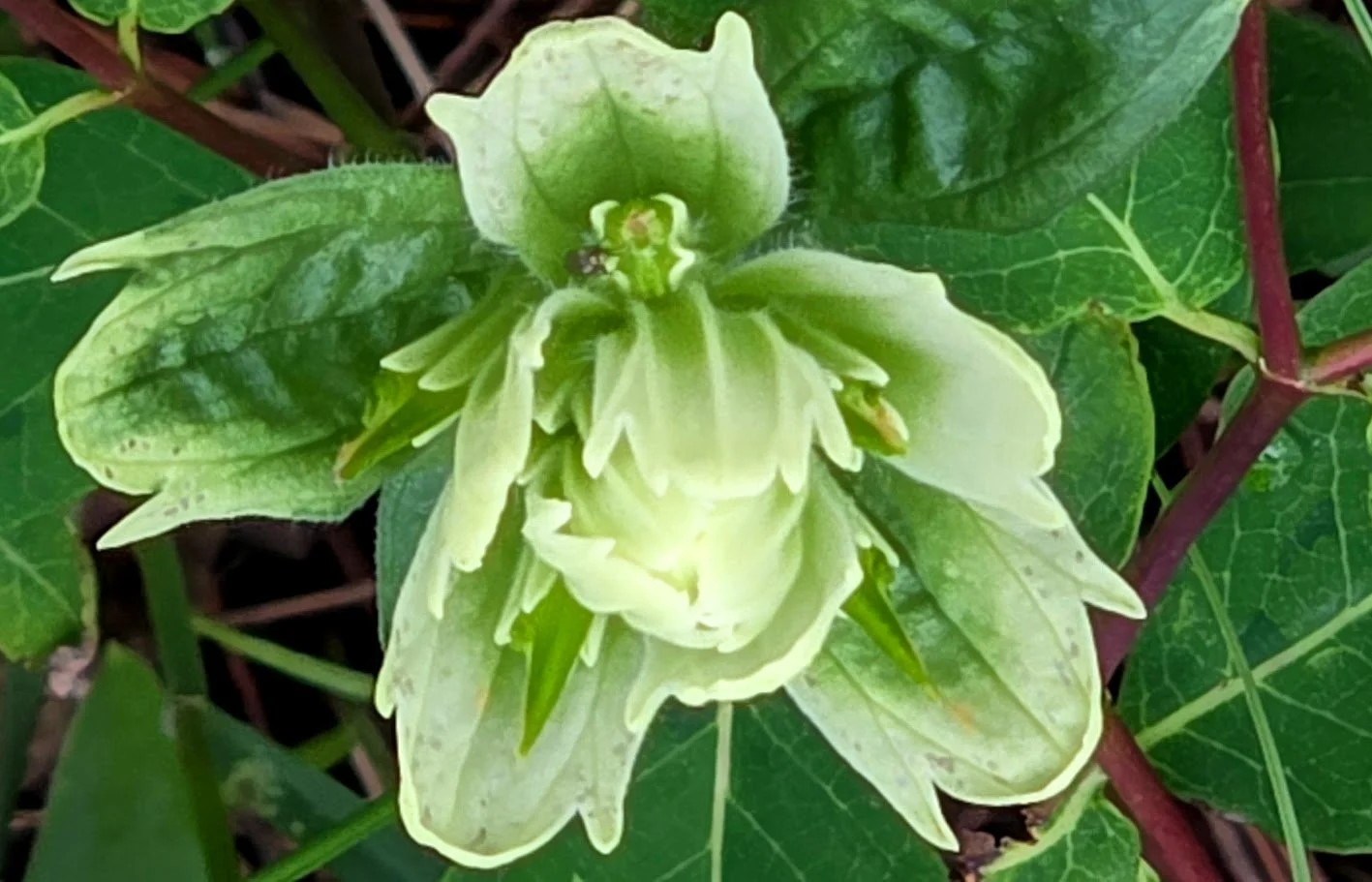
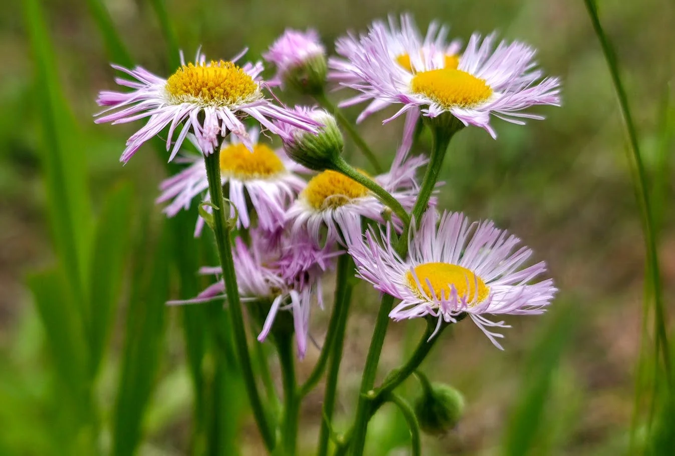
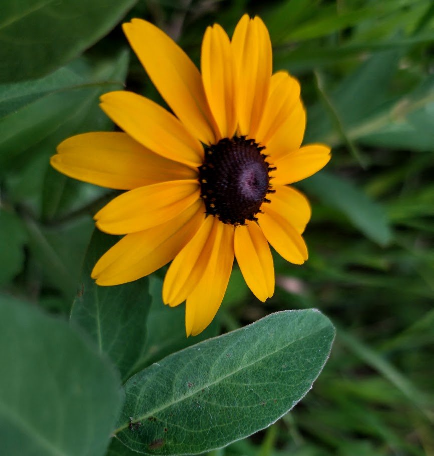
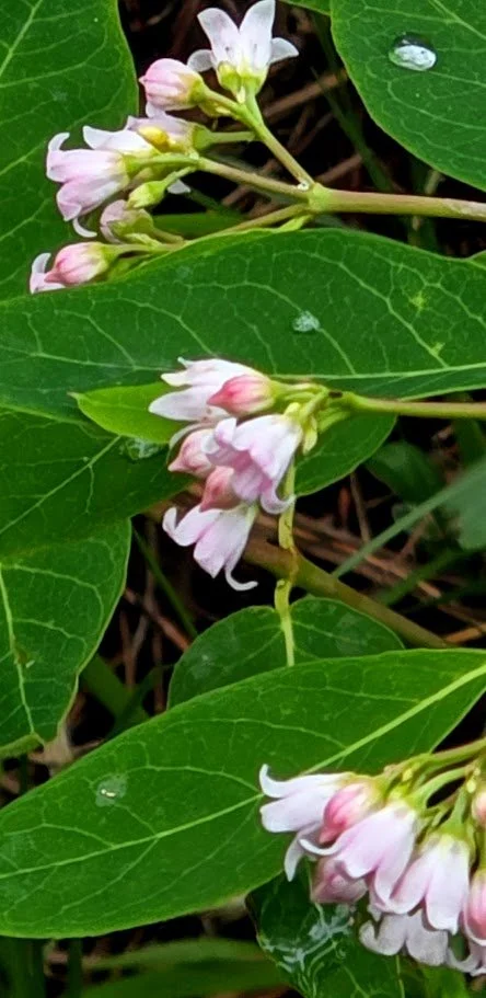
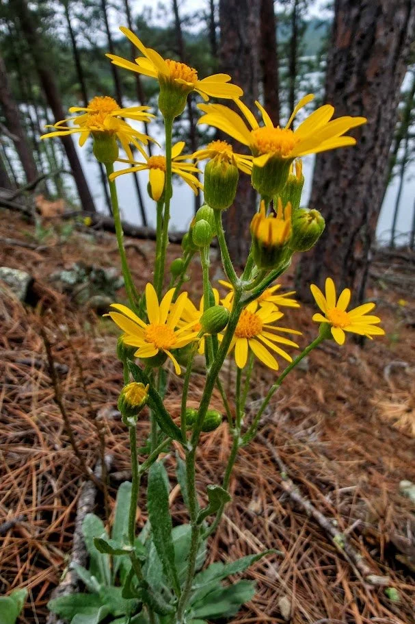
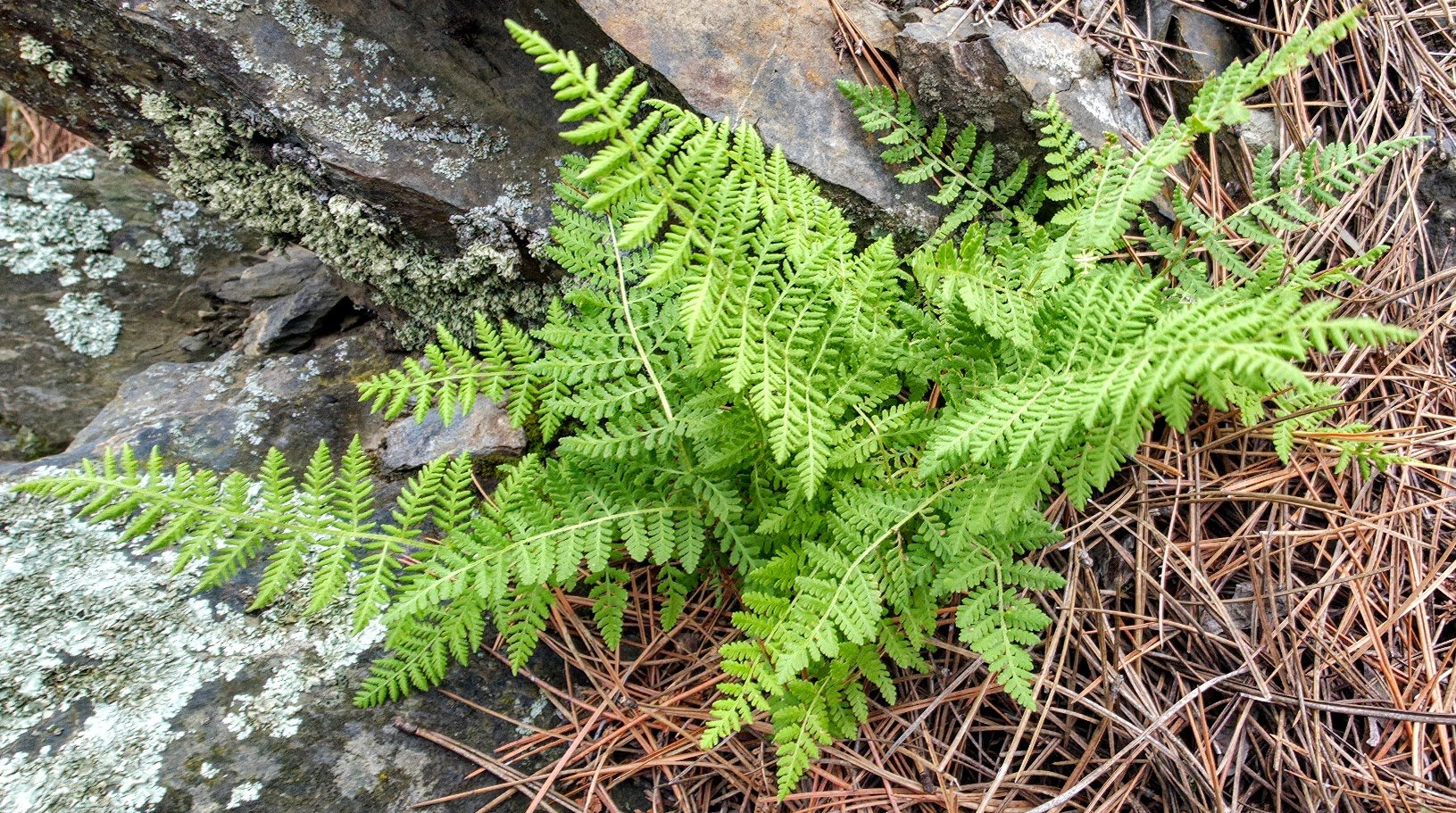
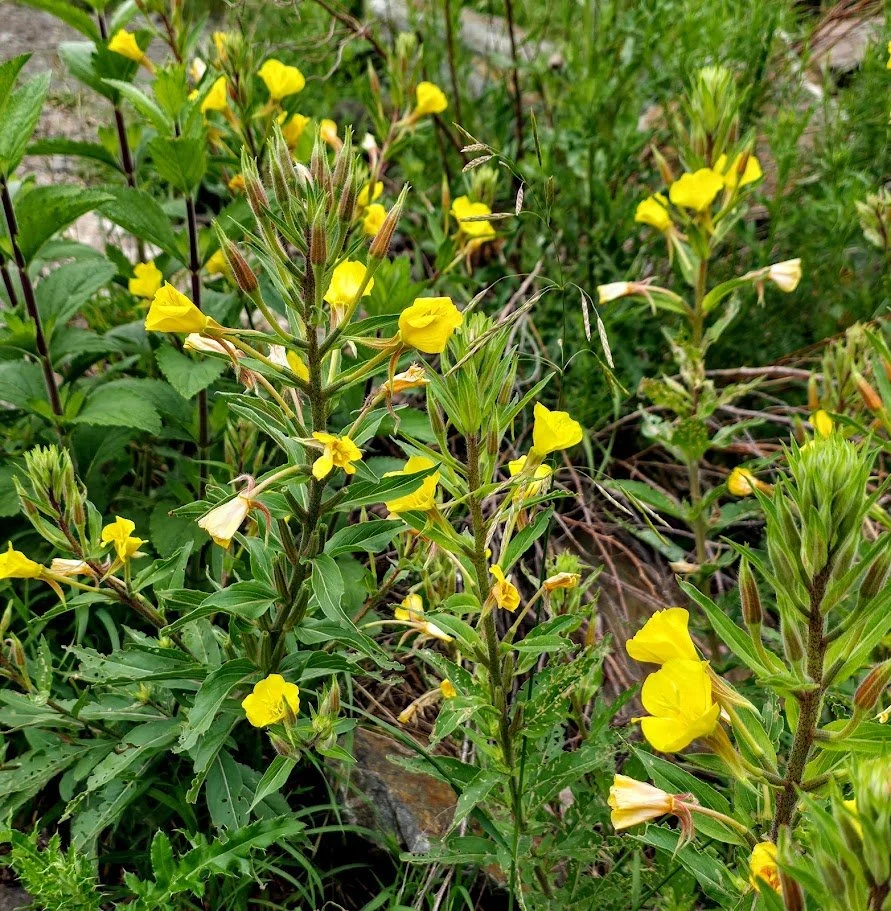
Gorgeous flowers along the trail.
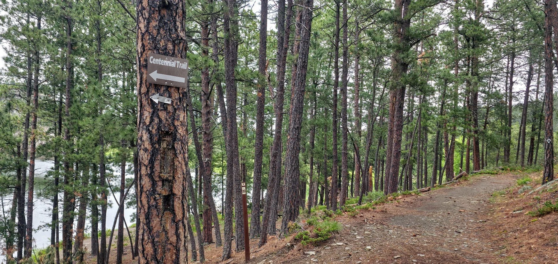
Make sure you follow the Flume Trail and don’t take a left on the Centennial Trail.
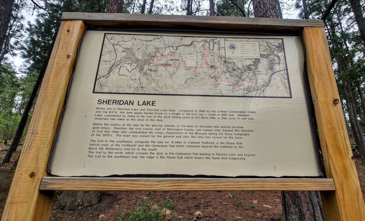
Interesting information.
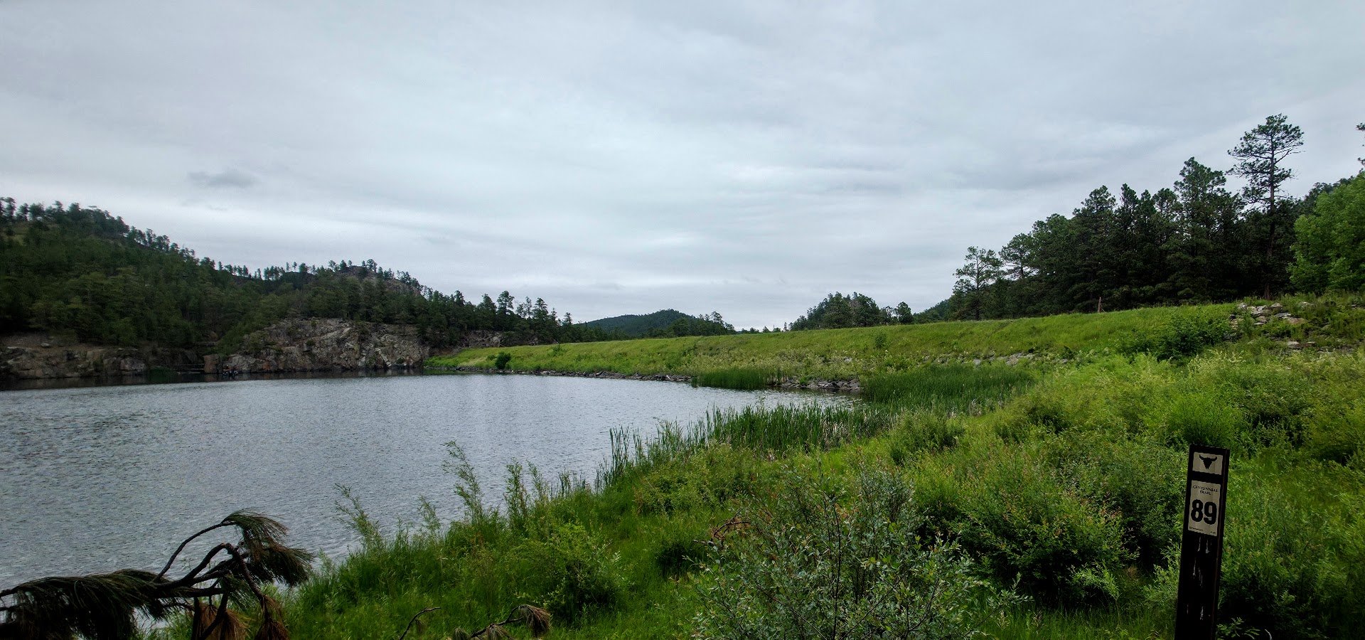
You do not cross the dam, but continue on the Flume Trail - The Centennial Trail crosses the dam.
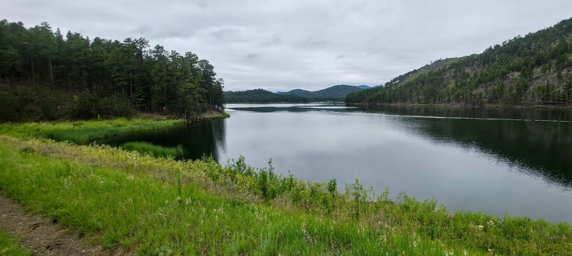
Sheridan Lake.

Rocky section - watch out for rattlesnakes.

This section of the trail is the Flume Trail and the Centennial Trail.


1st tunnel from Sheridan Lake side. - It’s the long tunnel. Bring a flashlight


The second tunnel.
3. Start at the Spring Creek Trailhead located 16 miles west of Rapid City on Sheridan Lake Rd. This is an easy 2 mile hike to both tunnels, a 4 mile hike that is a loop, or a 6 mile hike that includes a walk along the lake. For more information click the button below.


Second tunnel.

