

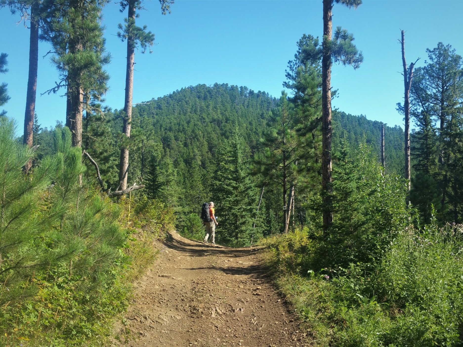
The Centennial Trail
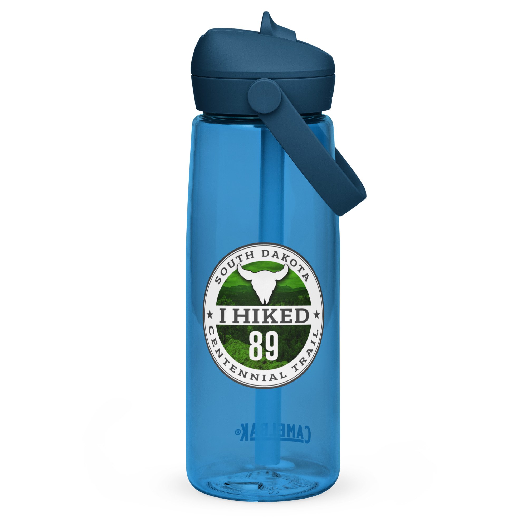
The Centennial Trail was established in 1989 to mark the celebration of South Dakota's Centennial. The trail starts at Wind Cave National Park and ends at Bear Butte with 21 trailheads set up for access. Along the way it passes by seven bodies of water and Mt. Rushmore. It also takes you through Custer State Park, home to a wide variety of wildlife including a large herd of buffalo. The trail has over 3500 ft in elevation gain though out the trail, so don’t take it lightly. The official State flier says that it is 111 miles long, but when the distances on the map are added up it ends up at 120 miles, our track shows 128. I would say the actual length lands somewhere between 120 and 126.
Each section listed below will cover trailhead to trailhead and will include relevant hiking information as well as a gpX track that can be downloaded and used on the trail. Our mileage was different than what the map says on several occasions so to avoid confusion, I will be using the mileage that is on the official state map when referencing sections below.


Mile 0 To 6.2
Wind Cave - Norbeck TH To Highland Creek TH
This 6.2 mile section is totally within Wind Cave National Park. It is very pretty and gives you lots of opportunities to see different wildlife.

Mile 6.2 To 16.5 Highland Creek To French Creek
This 10.3 mile section starts at the south edge of Custer State Park and stays in the park the whole way.

Mile 16.5 To 20.7 French Creek To Badger Hole
This 4.2 mile section starts at the French Creek Natural Area and has 2 creek crossings.

Mile 20.7 To 28 Badger Hole To Iron Creek
This 7.3 mile section is a nice hike with views of the Cathedral Spires and Black Elk Peak

Mile 28 To 37.2 Iron Creek To Big Pine
This 9.2 mile section, takes you through the Mount Rushmore area to near Horsethief Lake.

Mile 37.2 To 40.8 Big Pine To Samelius
This 3.6 mile section starts near Horsethief Lake and ends near South Highway 16.

Mile 40.8 To 47.8 Samelius To Flume
This 7 mile section is one of the most scenic on the trail and takes you to Sheridan Lake.

Mile 47.8 To 49.0 Flume To Dakota Point
This section takes you on part of the Flume Trail as it works it’s way around Sheridan Lake.

Mile 49 To 55.8 Dakota Point To Brush Creek
This section starts at Dakota Point and takes you to the Brush Creek Tailhead.

Mile 55.8 To 60.7 Brush Creek To Rapid Creek
This section starts at the Brush Creek Tailhead and ends at Rapid Creek just below the Pactola Reservoir Dam.

Mile 60.7 To 65.7 Rapid Creek To Deer Creek
This section starts at Rapid Creek just below the Pactola Reservoir Dam to Deer Creek and offers some nice views of Pactola.

Mile 65.7 To 69.5 Deer Creek To Pilot Knob
This section starts at Deer Creek and ends at Pilot Knob.
Mile 69.5 To 77.1 Pilot Knob To S. Box Elder Creek
This section from Pilot Knob to S. Box Elder Creek is a multi use section but it is mainly used by ATVs.

Mile 77.1 To 83.2 S. Box Elder Creek To Dalton Lake
This section is also multi use but it is mainly used by ATVs.

Mile 83.2 To 96 Dalton Lake To Elk Creek
This section is the longest section on the trail but also has some great scenery.

Mile 96 To 107.5 Elk Creek To Alkali Creek
The second longest section on the trail and it ends on the north side of I-90.

Mile 107.5 To 111.5
Alkali Creek To Fort Meade
This section takes you through the Fort Meade Recreational Area.

Mile 111.5 To 116 Fort Meade To Bear Butte Lake
This section takes you through some prairie and cow pastures and ends at Bear Butte Lake.

Mile 116 To 120 Bear Butte Lake To Bear Butte
The final section of the trail ends with a climb to the top of Bear Butte.

Everybody knows that dad caps are no longer just for dads, so get an cotton twill cap for yourself!
• 100% cotton twill
• 6-panel unstructured cap with a low profile
• 6 sewn eyelets
• Black sweatband
• Metal snap buckle with an antique brass finish
• Washed-out vintage effect
• Blank product sourced from China
This product is made especially for you as soon as you place an order, which is why it takes us a bit longer to deliver it to you. Making products on demand instead of in bulk helps reduce overproduction, so thank you for making thoughtful purchasing decisions!