

Centennial Trail - Big Pine to Samelius

What you need to know:
Length - The Map says 3.6 but is closer to 3.4
Water - Unreliable. it would be best to get your water at horsethief lake.
Water crossings - None
Camping - Black Hills National Forest Camping rules - Setting up your own campsite away from developed fee sites is allowed on most of the Forest for a maximum of 14 days in any 60-day period. However, around developed reservoirs and campgrounds, camping is allowed only in designated areas. General rule: Camp 100 feet away from any road, stream, or trail and 1/2 mile away from developed sites.
Trail condition - The trail is well defined and easy to follow. fairly flat except for a long descent at the beginning.

Nice trail in the beginning and easily marked.

Trail goes pretty much down for the first .6 miles until you hit the road.

Crossing Old Hill City Road.

1880 Train - may be lucky to see the train.
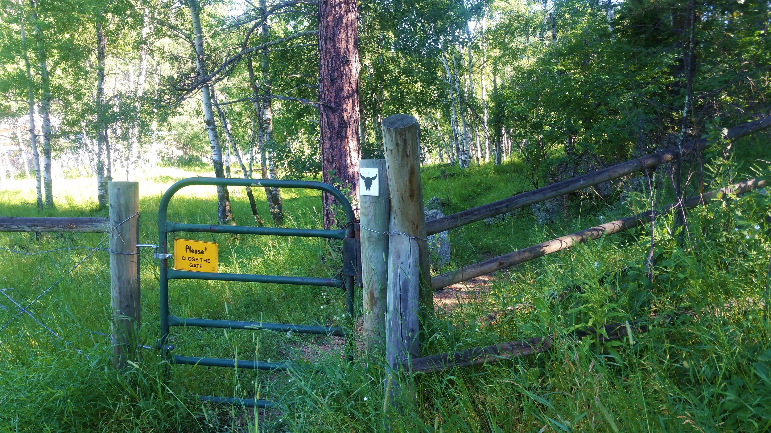
Cross the path to a meadow and plan to go up for aways.

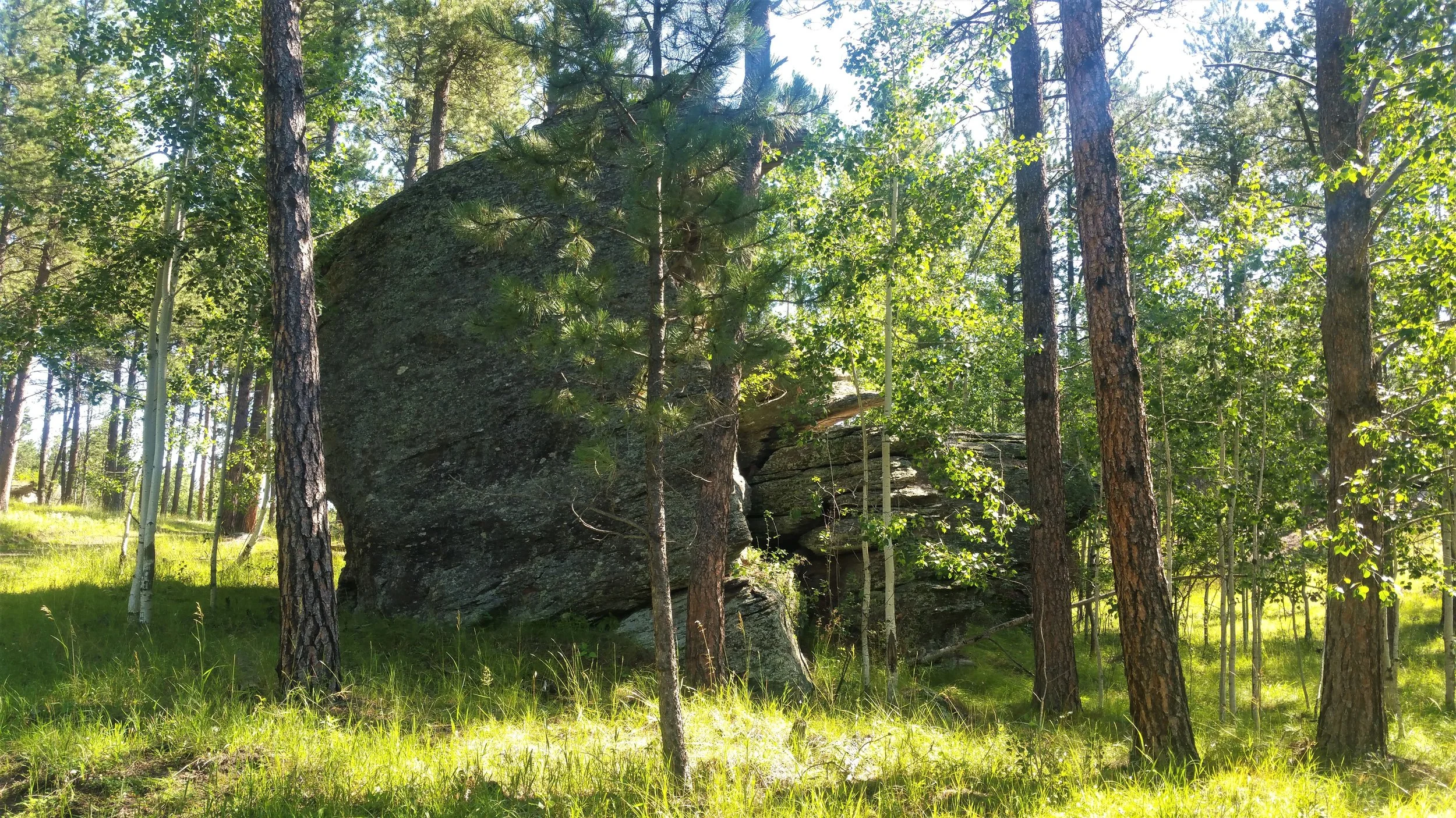
Unique rocks in the area.

Looking back behind you.

When you hit the road, go to the right for a bit and walk the road until the trail picks up again on the left side of the road.


This is where you pick up the trail from the road. This section of the trail was beautiful when we hiked it in the winter. In the summer, it is overgrown and you cannot see the small stream or the rocks and cliffs.


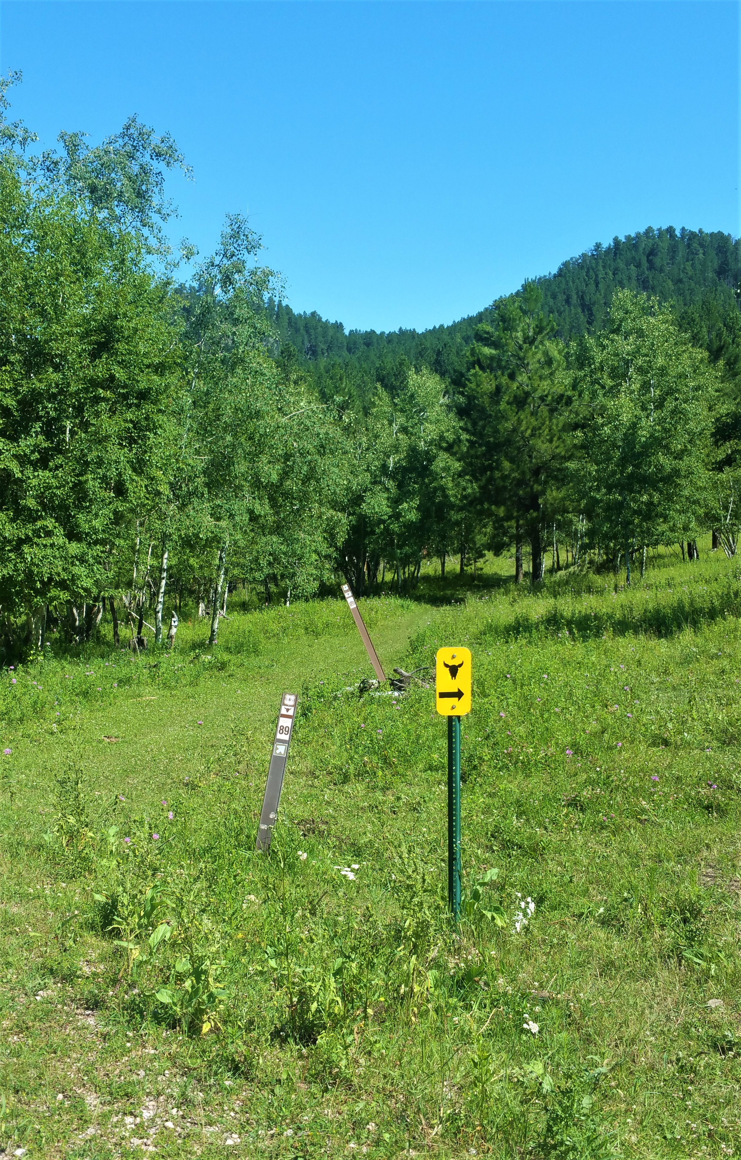
Lots of trail markers in this section to let you know where you need to turn.


Going under the bridge on S Highway 16. The cows use this same crossing, so when we went under the road, there was a lot of cow manure.

We made it.