

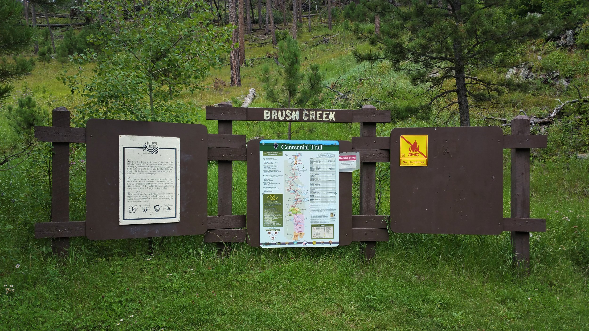
Centennial Trail - Brush Creek to Rapid Creek
Here we go again - onward.
What you need to know:
Length - 5 Miles
Water - Brush creek will probably have water in it, but don’t count on it. Rapid Creek will have water.
Water crossings - several easy crossings on Brush creek. All rapid creek crossings are bridged.
Camping - There is a campground at pactola, but it’s on the other side of the lake and would be a hike of several miles to get to it, otherwise Black Hills National Forest Camping rules apply. Setting up your own campsite away from developed fee sites is allowed on most of the Forest for a maximum of 14 days in any 60-day period. However, around developed reservoirs and campgrounds, camping is allowed only in designated areas. General rule: Camp 100 feet away from any road, stream, or trail and 1/2 mile away from developed sites.
Trail condition - starts out by following brush creek road for 1/2 mile. after that, the trail is fairly easy to follow until the rapid creek area. Towards the end, after the tamarack “trailhead” the trail is severely overgrown and hard to see for short sections.
Notes - The tamarack trailhead shown on the map, is just a turnaround. it is only .6 miles from the rapid creek trailhead, that is why we included it with this section. I’m not sure how you could get a bike through some of the vegetation near rapid creek.

Brush Creek


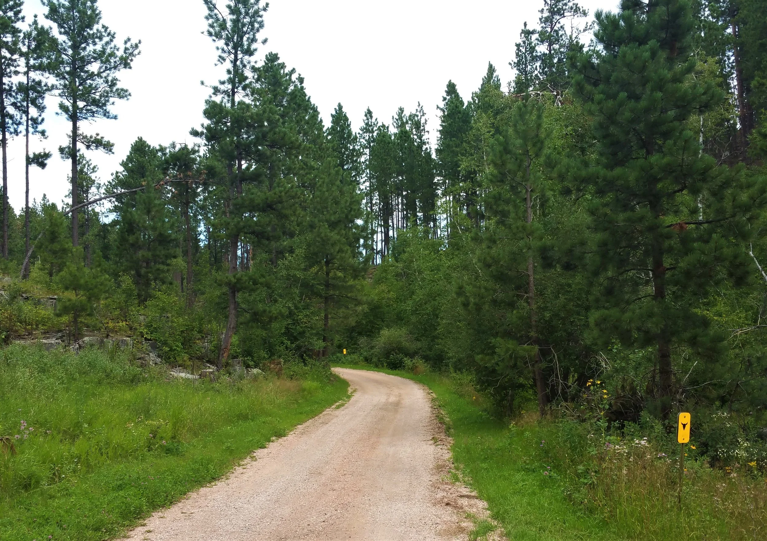
Walk the road for a bit.


Cross the road a couple of times - Probably can just stay on the road when it is obviously coming back to the road.


Cross the creek a couple of times - Doomed to get wet.
Time to get off the road for good.

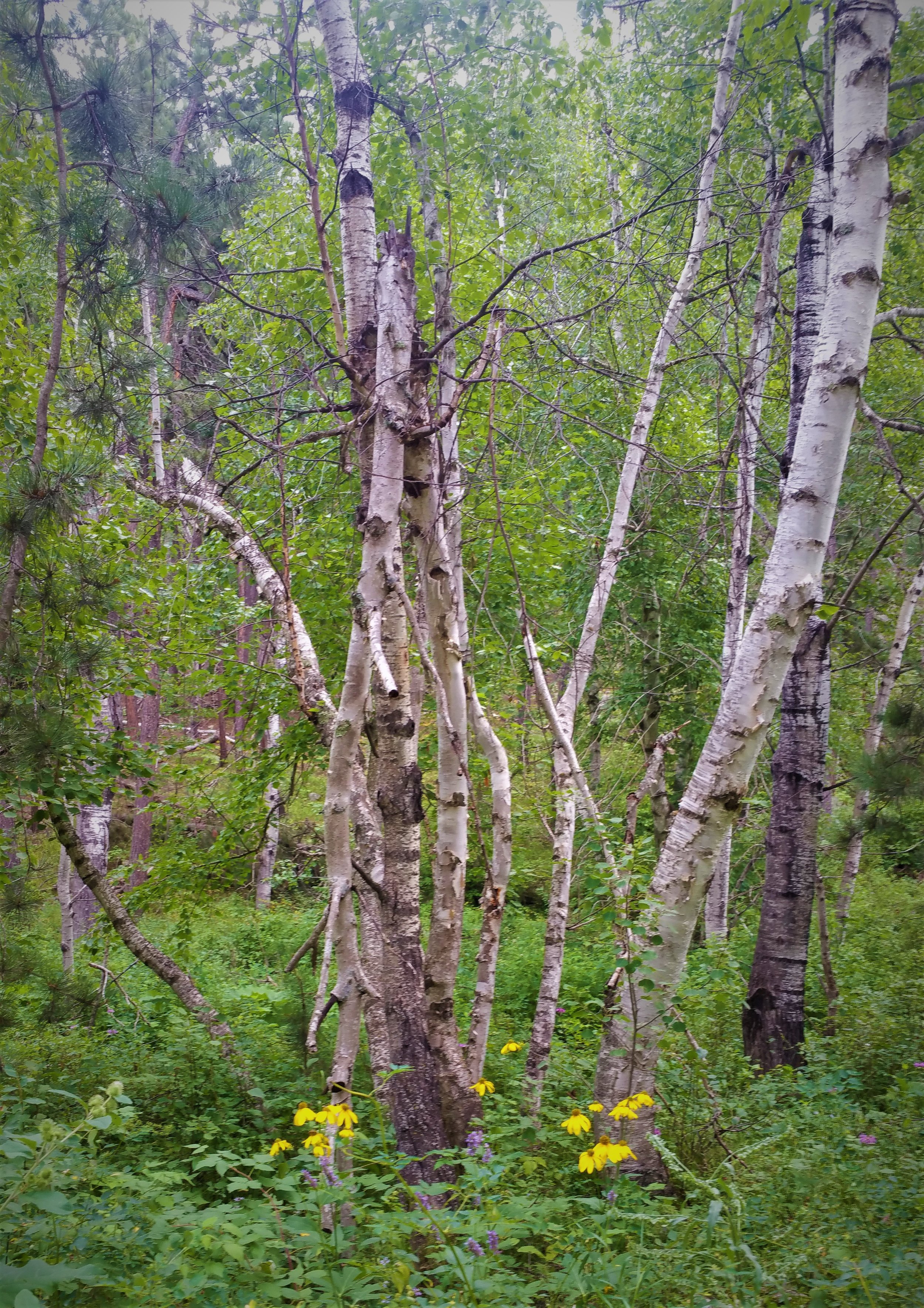
Pretty section of wildflowers.

Bad thunderstorm and hailstorm hit us for over an hour. Pretty scary. No where to take cover except under a pine tree here and there.

Pretty impressive hail everywhere.

Cabin close to the Tamarack Trail section.


Very wet and overgrown.
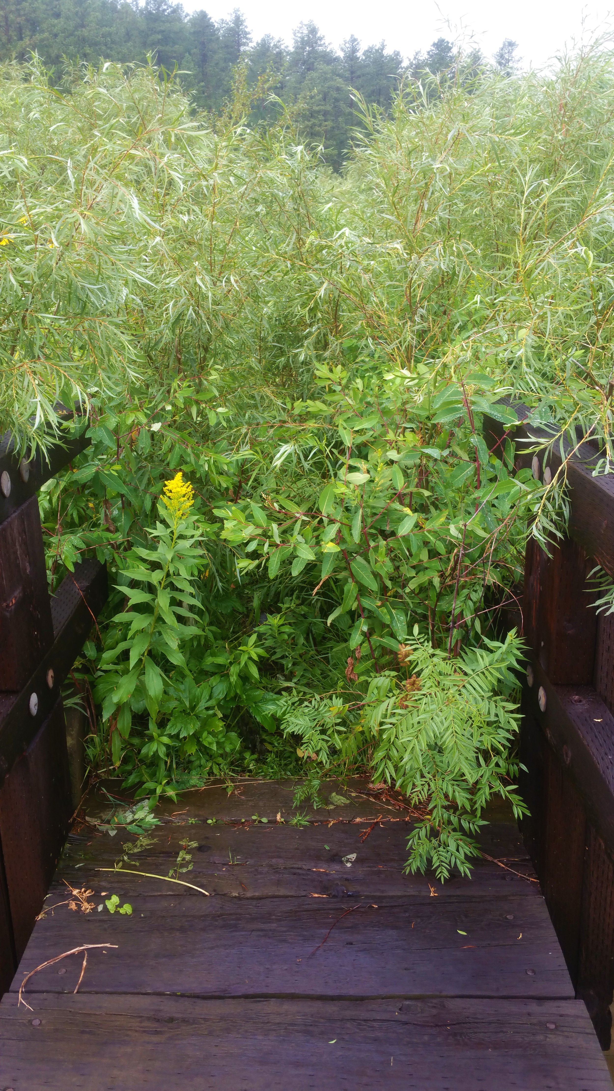
Trail on the other side of the bridge. Not very inviting.


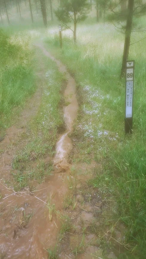
Everything went dark, wet, blurry, and foggy. Trails covered in water now.


Crossing into the wet valley below.
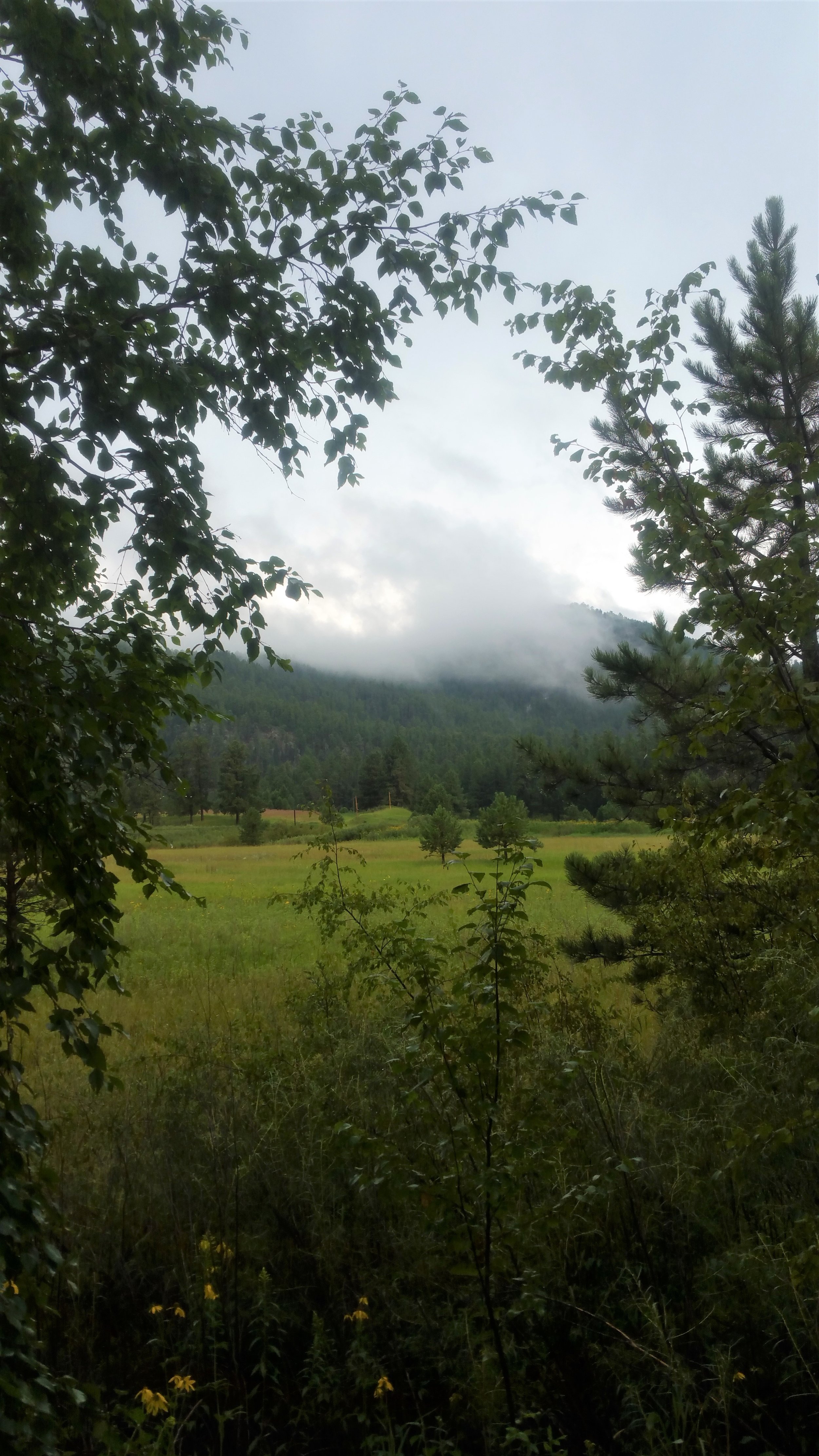
Fog pretty neat.

Cross the creek twice.

This is the trail - pretty unbelievable.
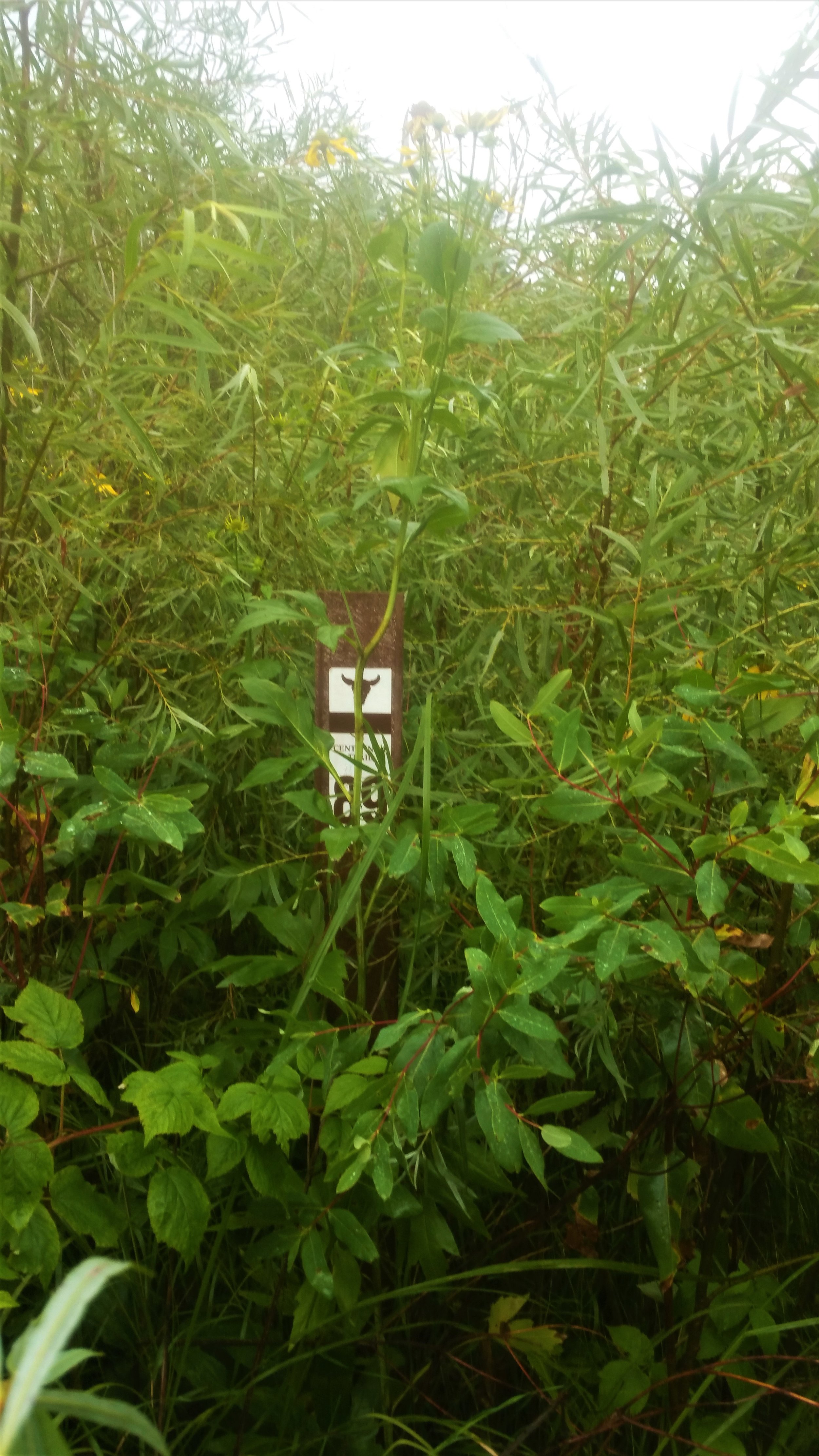
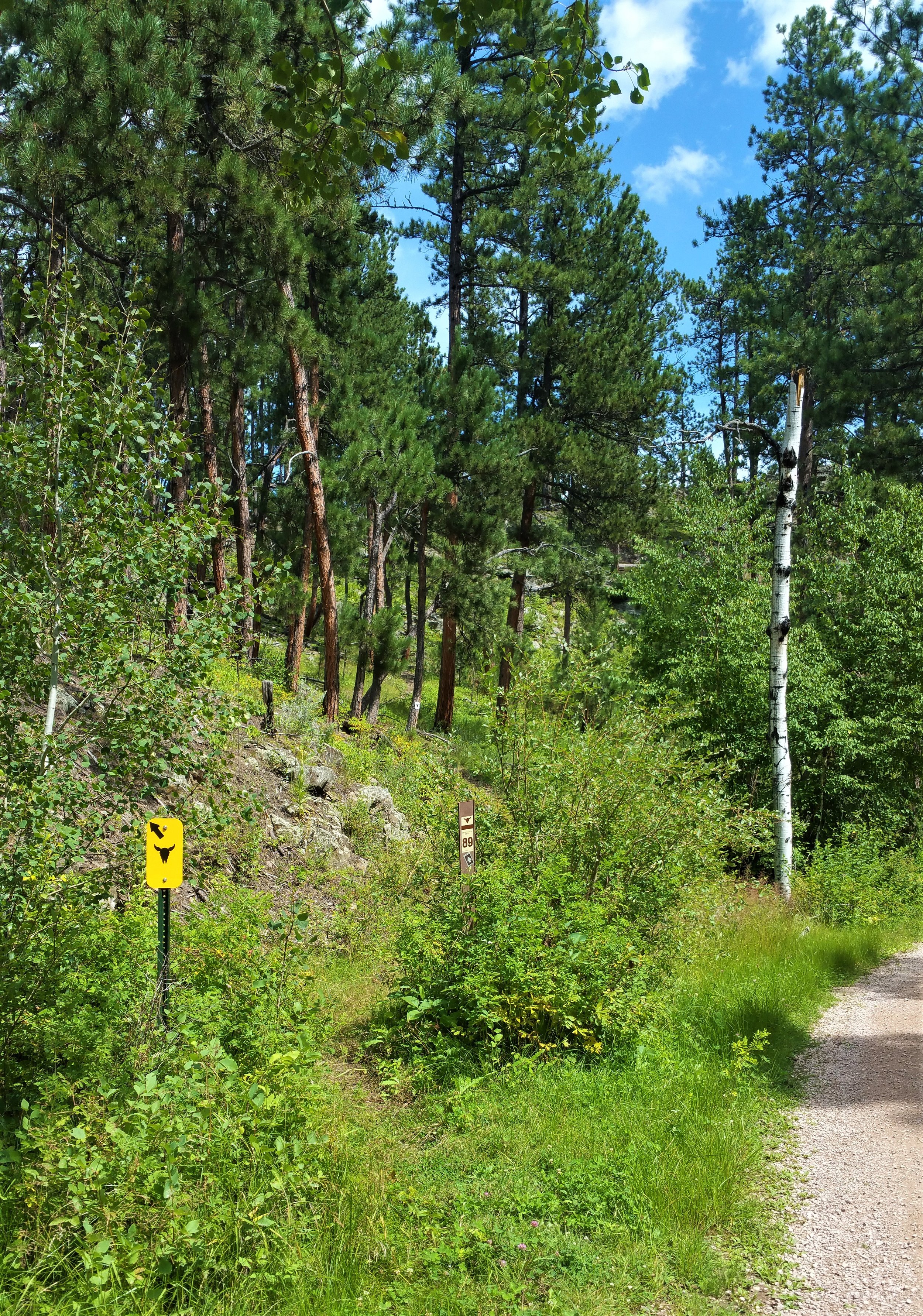
Look we found a mile marker in the middle of this mess.

We made it to Rapid Creek wet, cold, and tired. Storm made the hike very interesting and a little scary at times. Luckily hail was only pea sized and not larger. There was also a lot more thunder then lightening. We were glad we were in the trees in the valley and not anywhere else higher.