

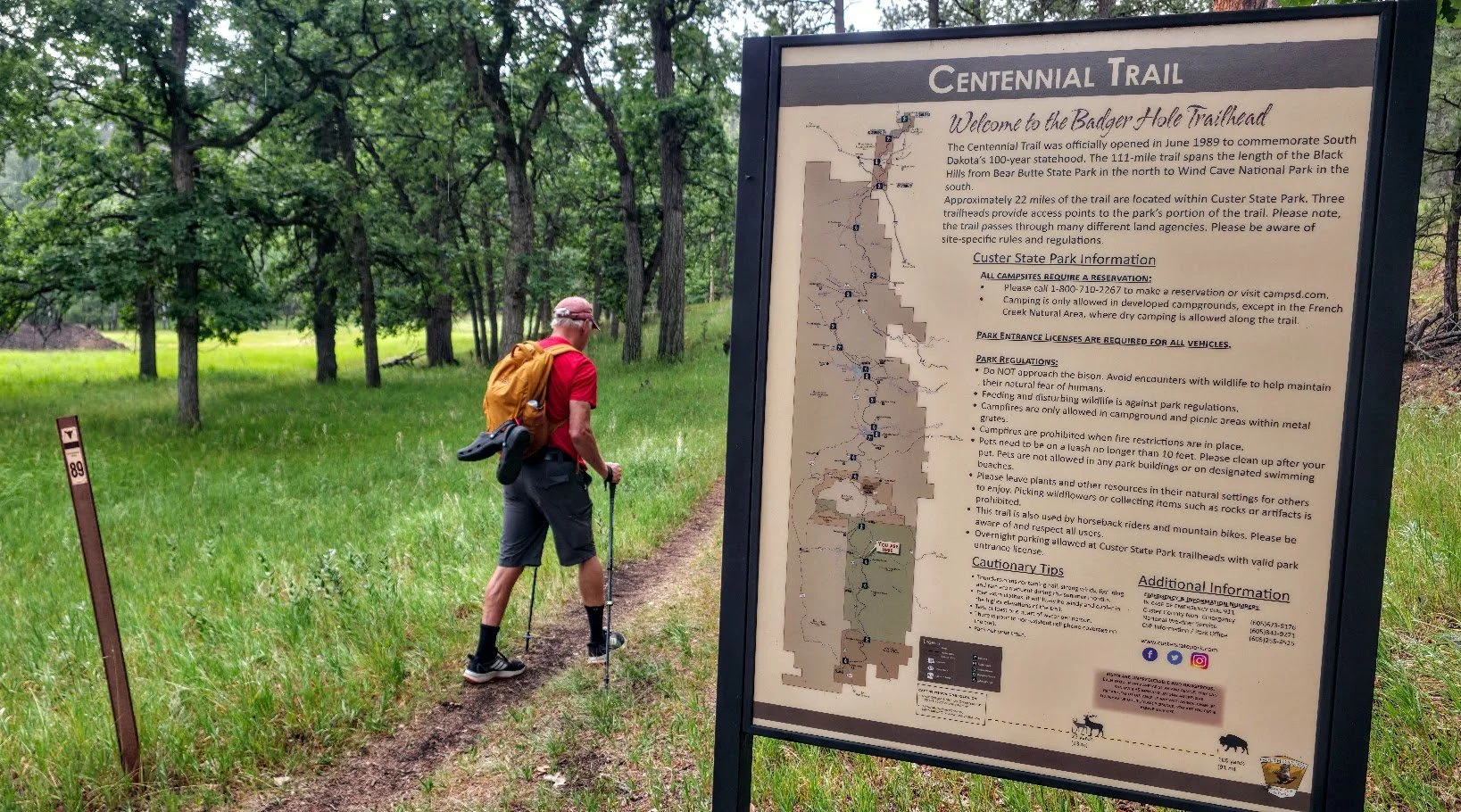
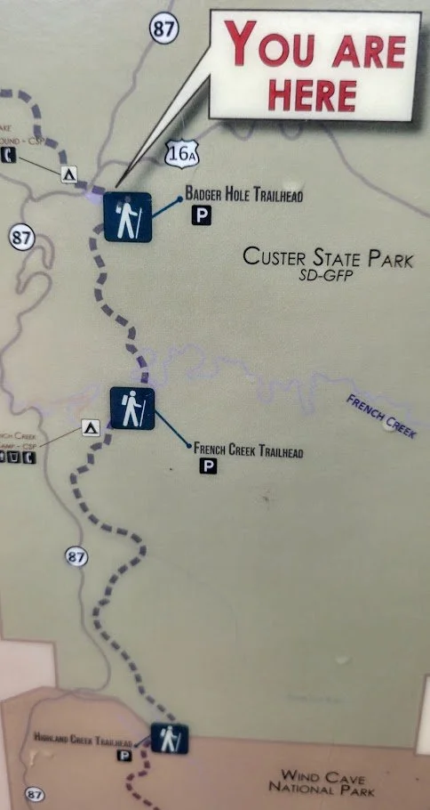
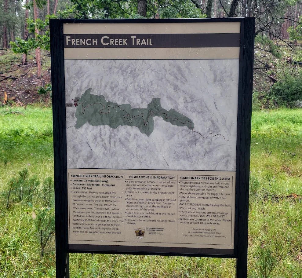
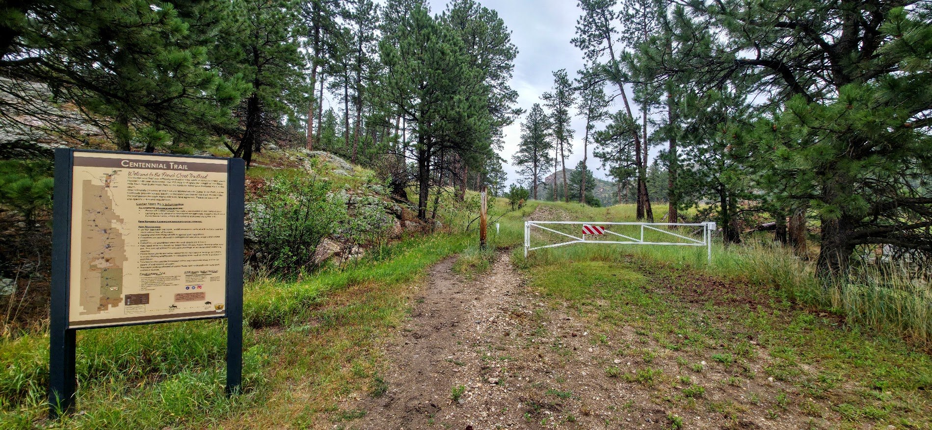
Centennial Trail - French Creek Trailhead to Badger Hole Trailhead

What you need to know:
Length - The Map says 4.2 but is closer to 5.4
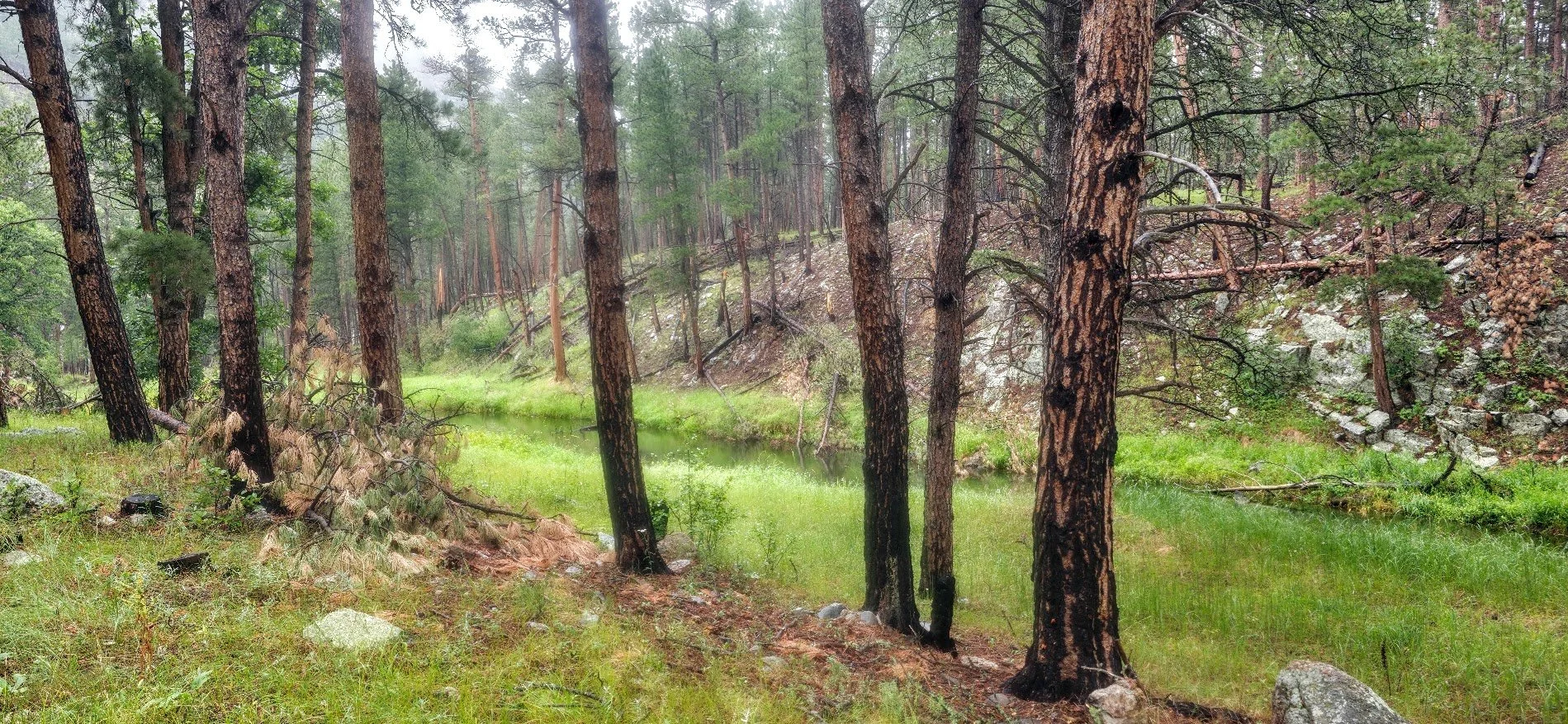
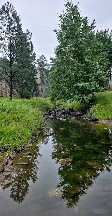
Water - french creek is a reliable source plus numerous other small creeks along the way.
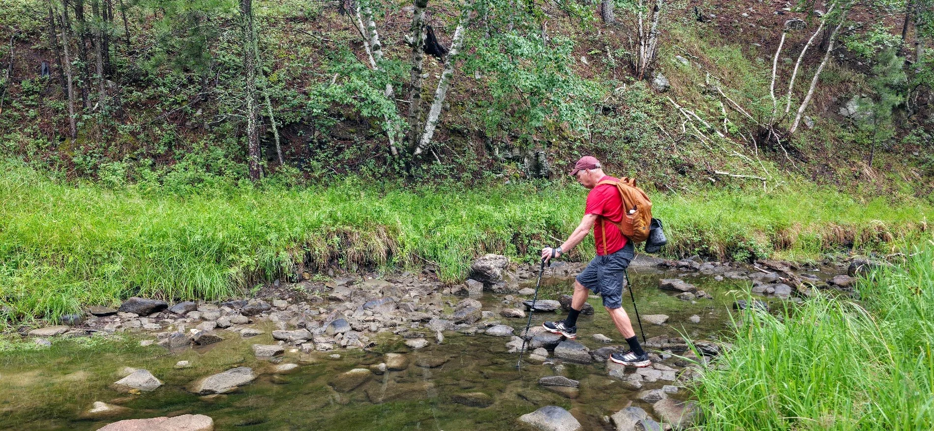
Water crossings - french creek twice, can be difficult depending on the amount of rainfall. plus several other small creeks.
Camping - Camping within custer state park is only allowed at designated campsites or within the french creek natural area. So you can camp within the french creek natural area where there is a$7 per night fee or continue a mile past the badger hole trail head and camp at legion lake. i would call ahead and make sure there are spots available at legion lake before starting out.
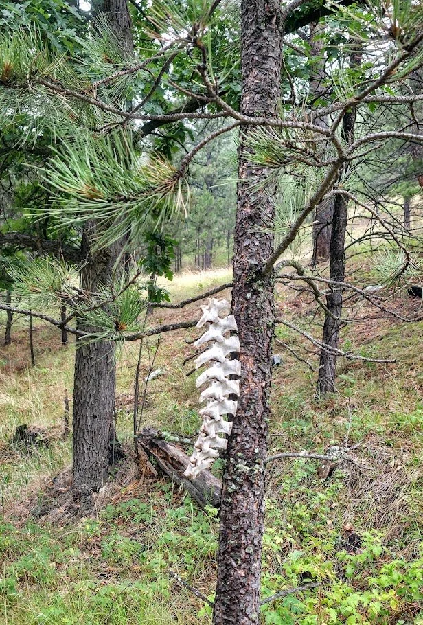
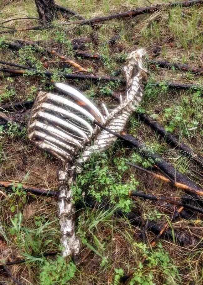
wildlife - buffalo on the trail are likely. Pronghorn antelope. elk can been seen but are rare.
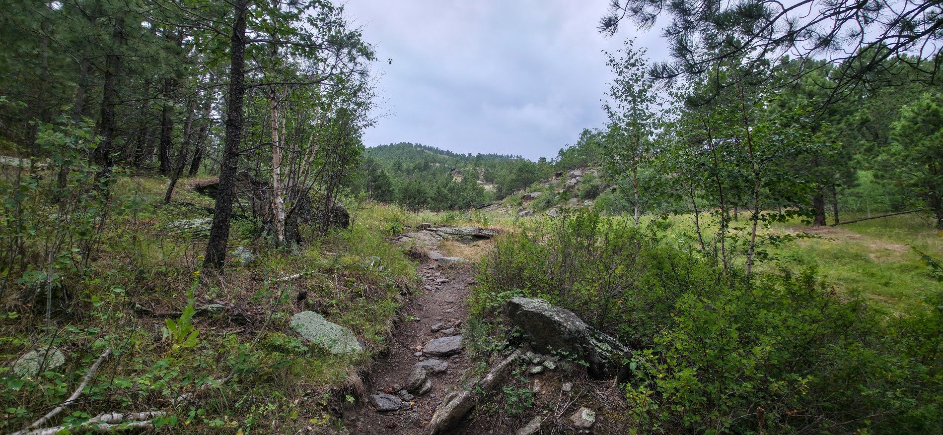
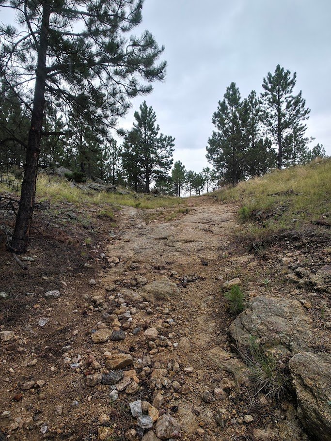
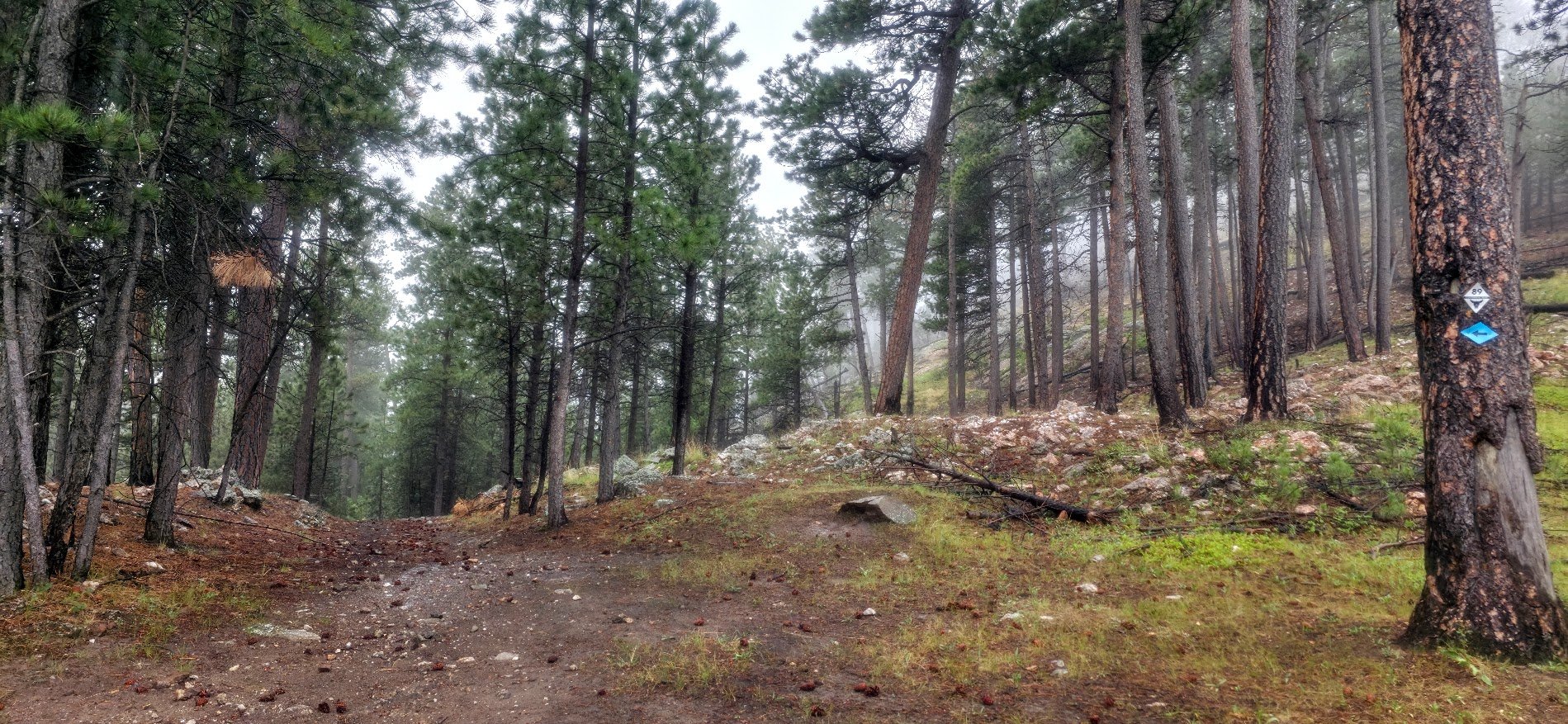
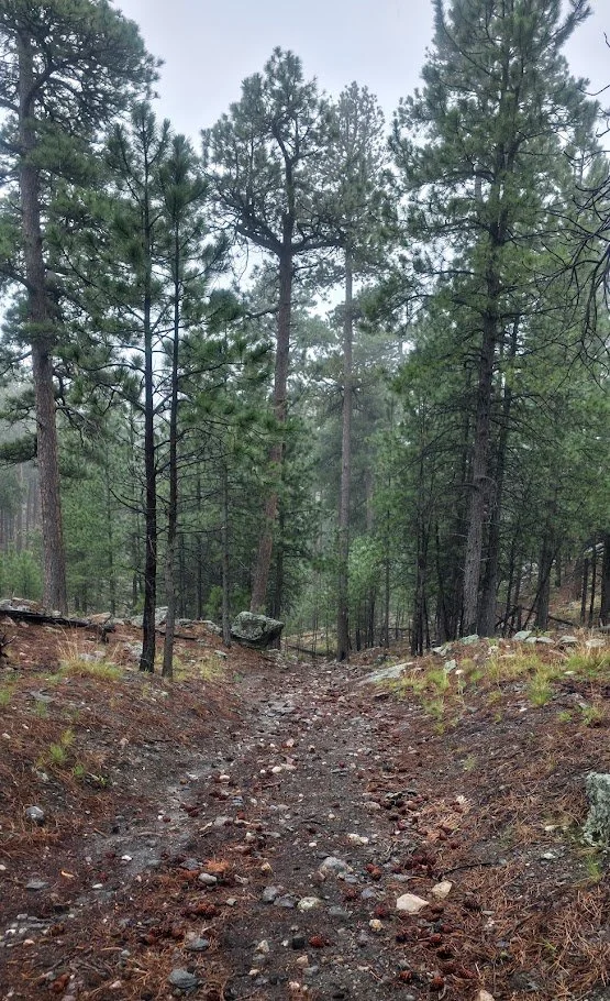
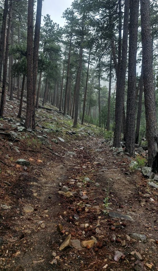
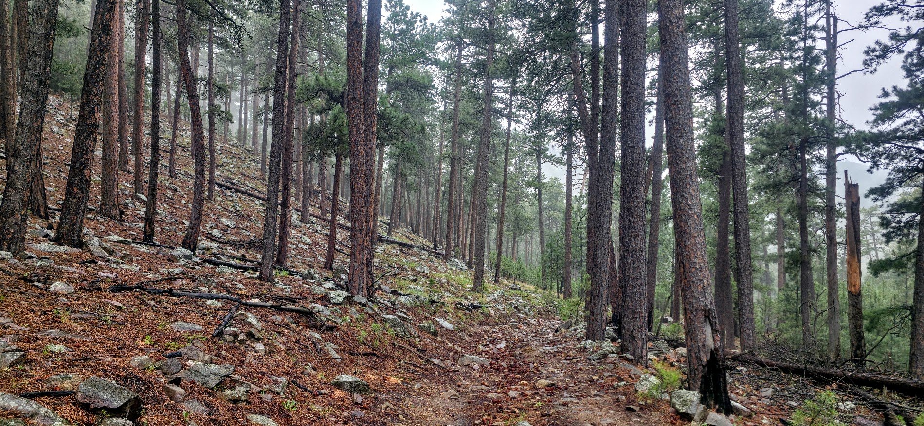
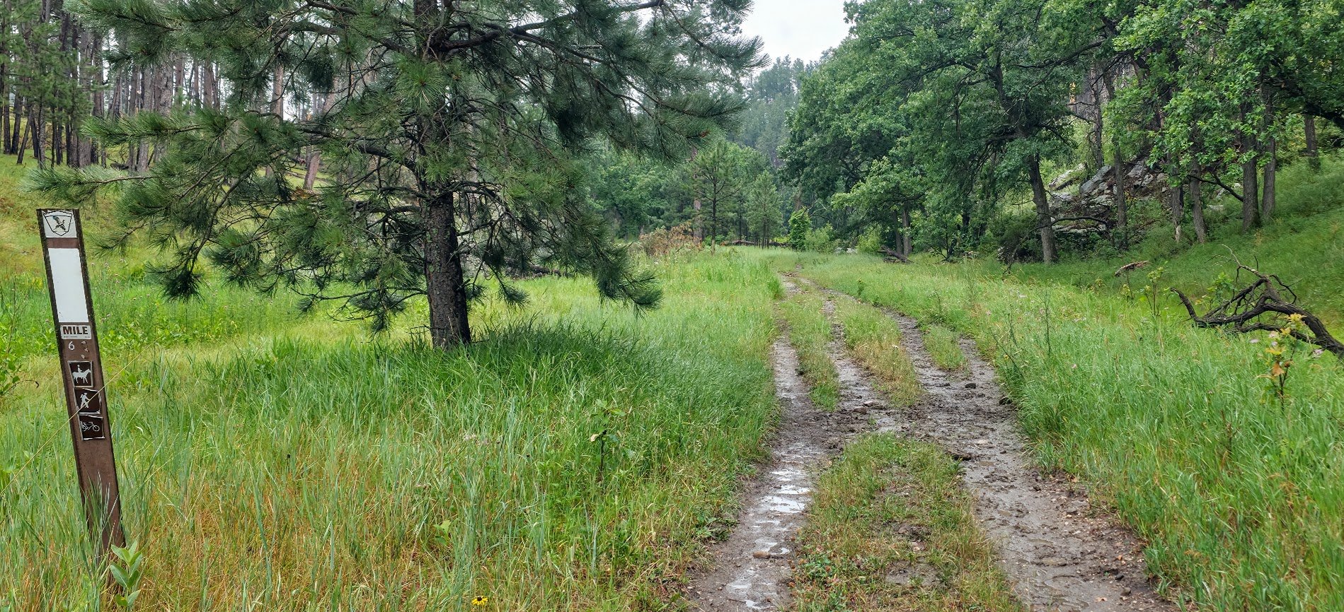
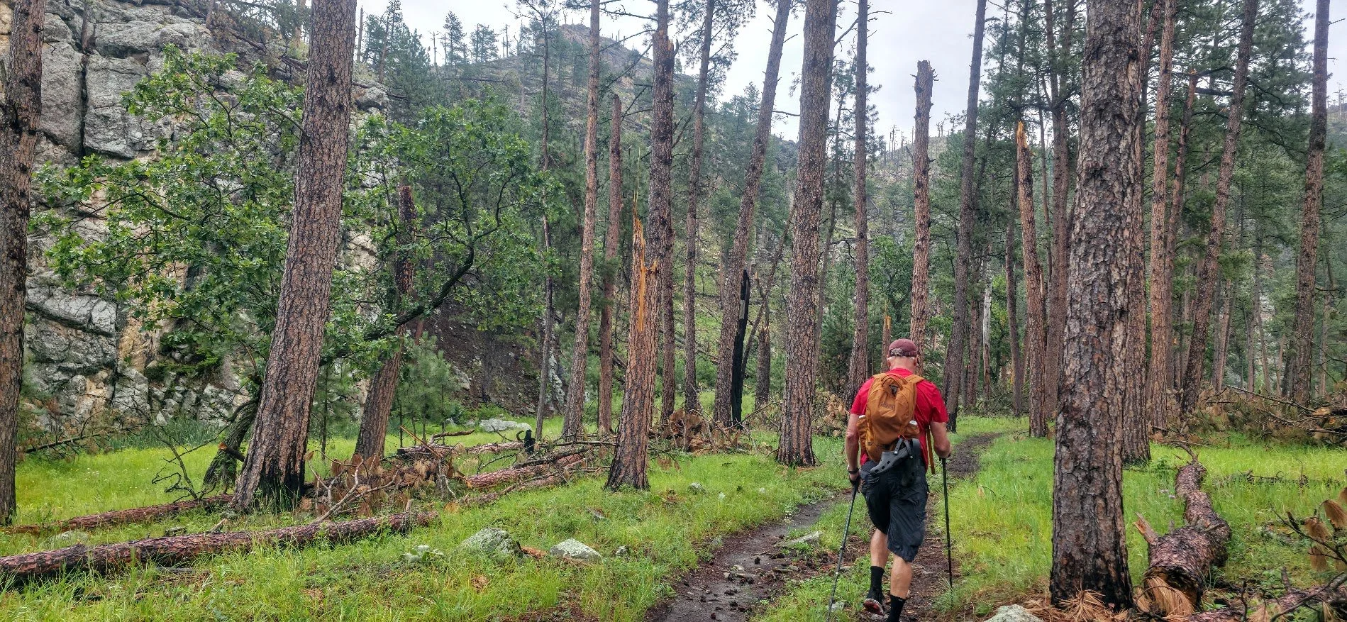
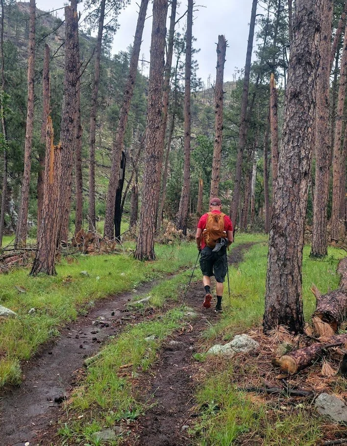
Trail condition - The trail is well defined and easy to follow. there are several steep and rocky climbs. french creek can be a tricky crossing if the water levels are high.
Helpful info - some gpx tracks show the trail as being farther west than it actually is on the northern half of this section, so just stay on the trail and you’ll be OK.
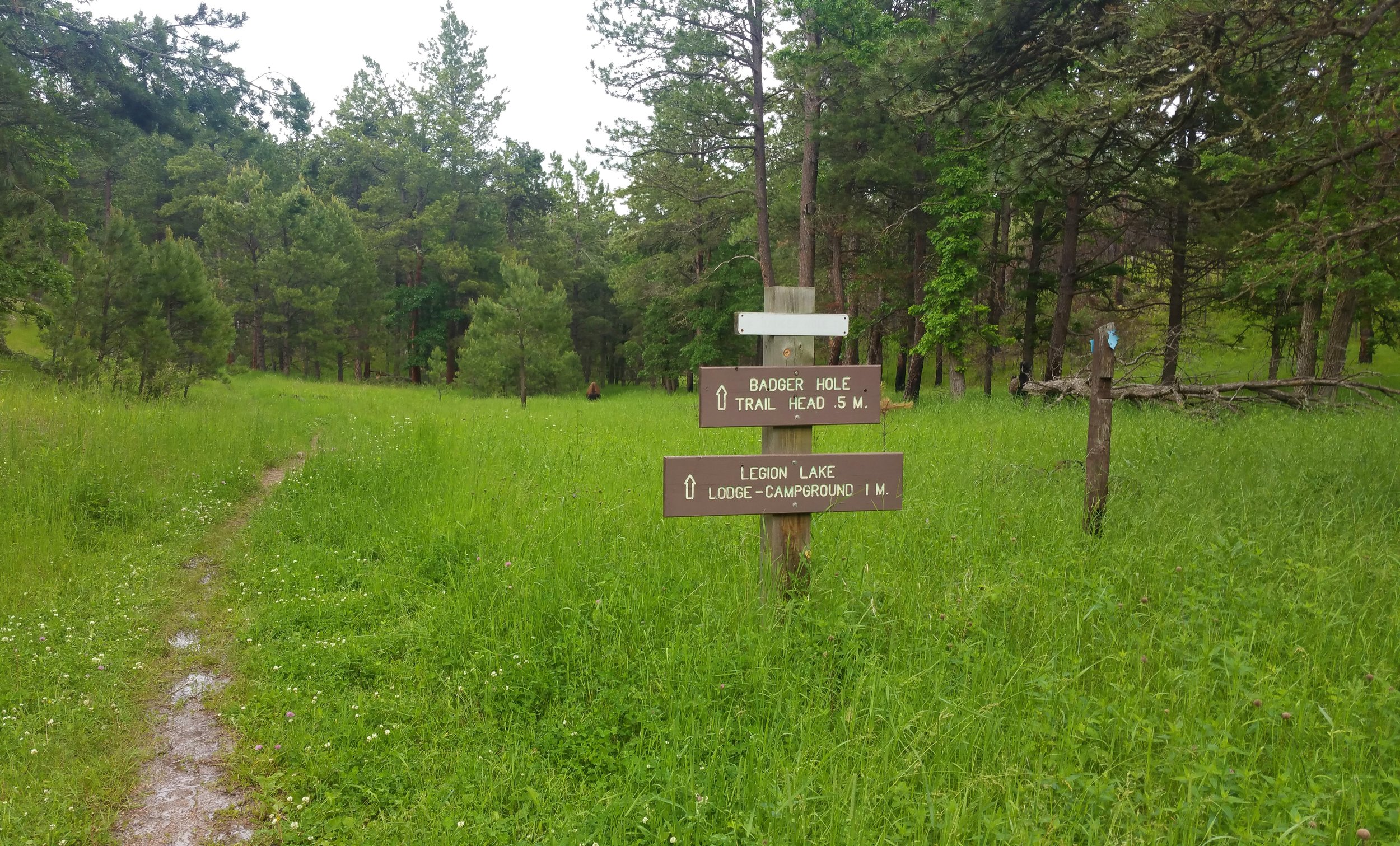
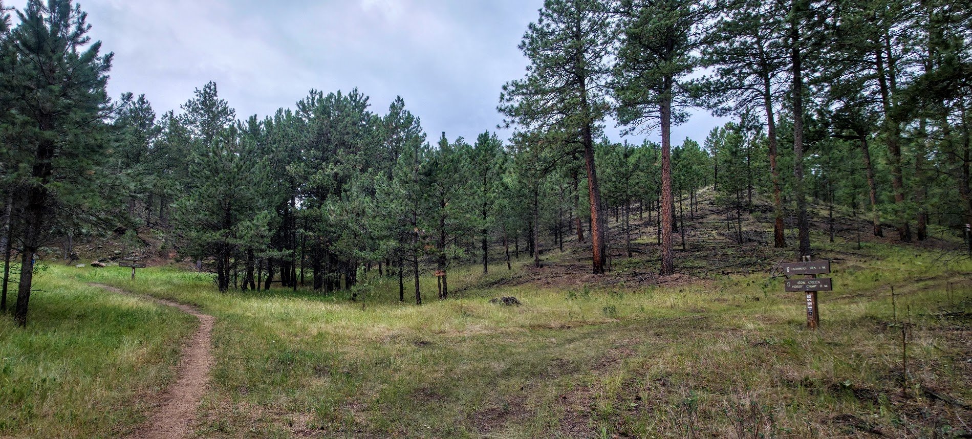
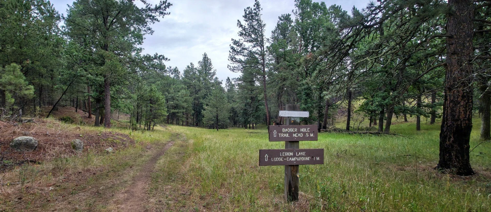
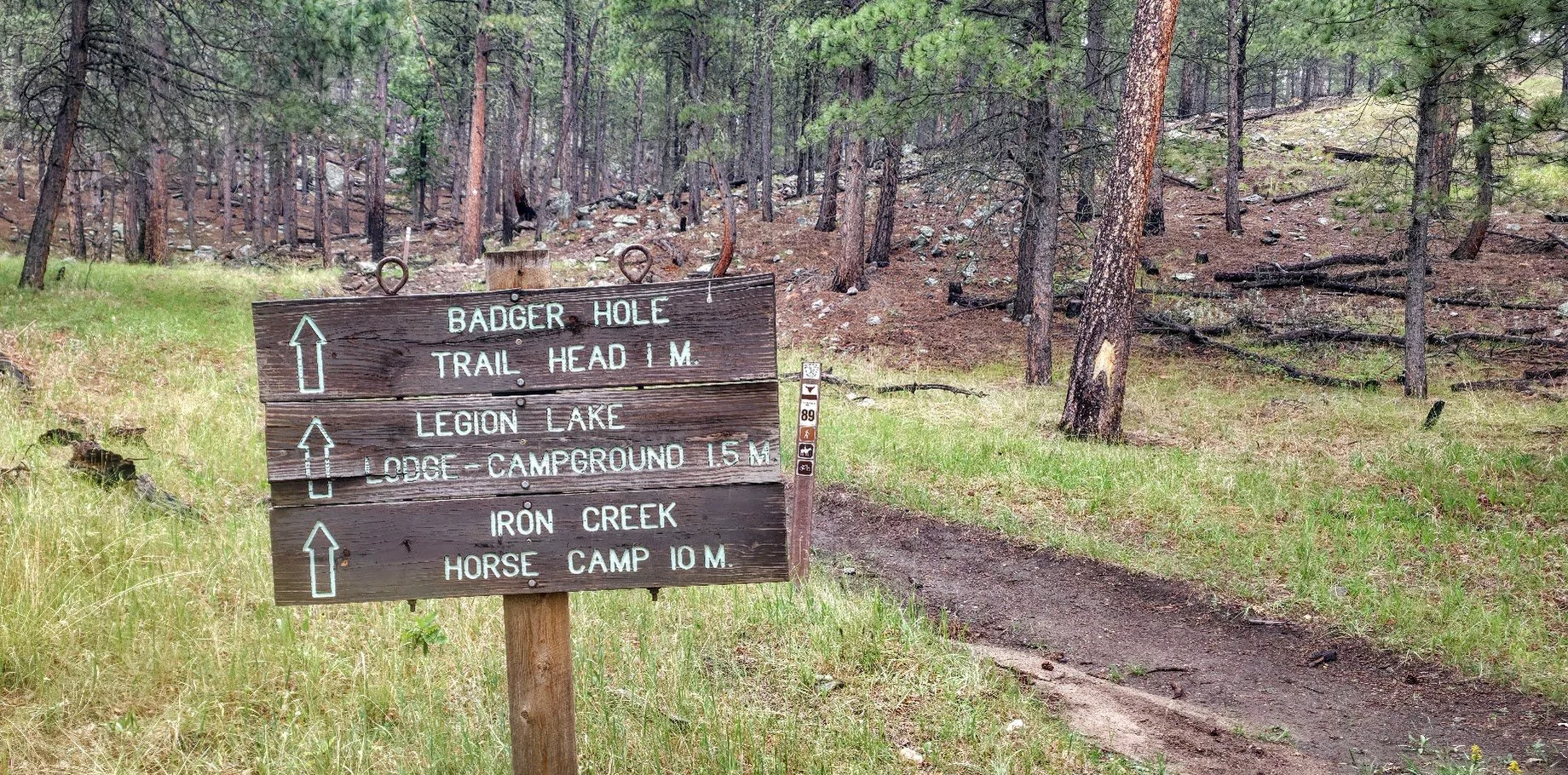
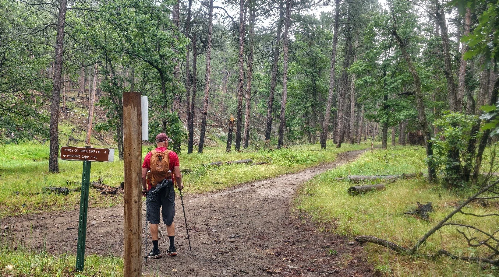
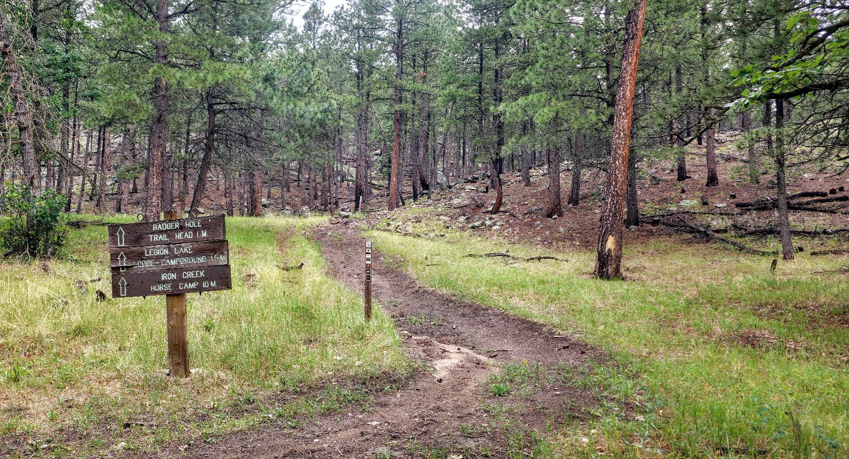
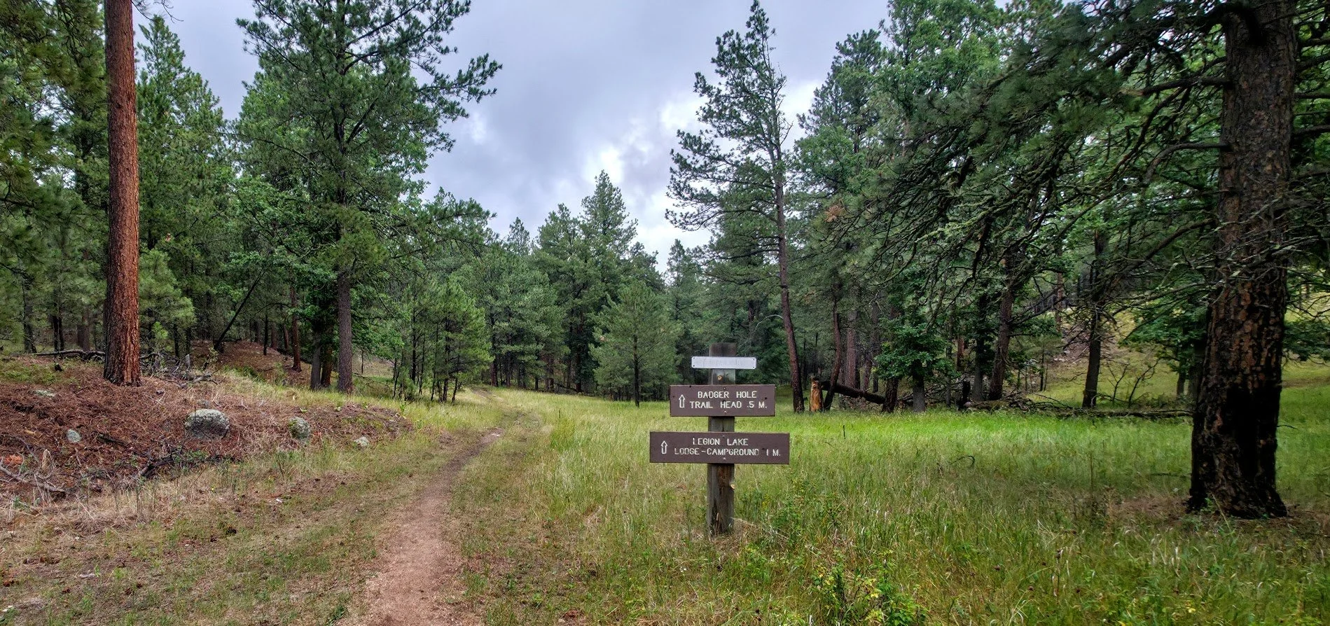
also, the badger hole trail head is a 1/4 mile side trail. if you are through hiking and don’t need to go to legion lake for anything, continue north at the marked intersection. keep in mind that the main centennial trail does not have access to legion lake so if you need to go to legion lake for water, supplies or camping, you will want to take the side trail to the badger hole trail head. from there it is another .3 miles to the legion lake store, restaurant and campground. this trail is mostly a small road but is not well marked, so i included a gpx track below.

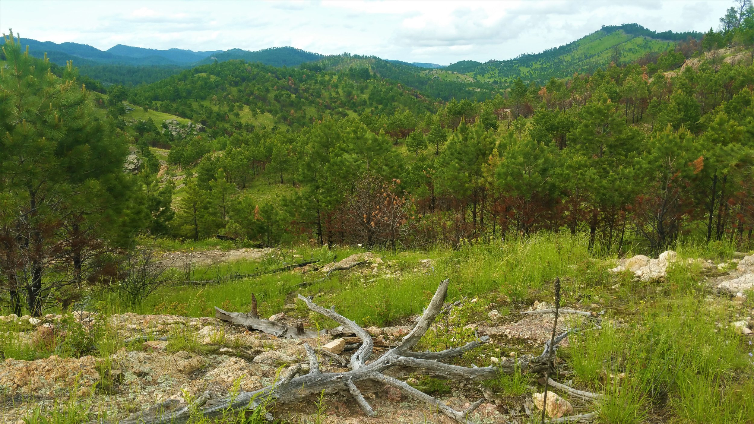
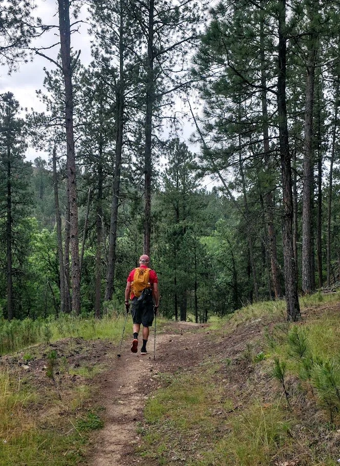
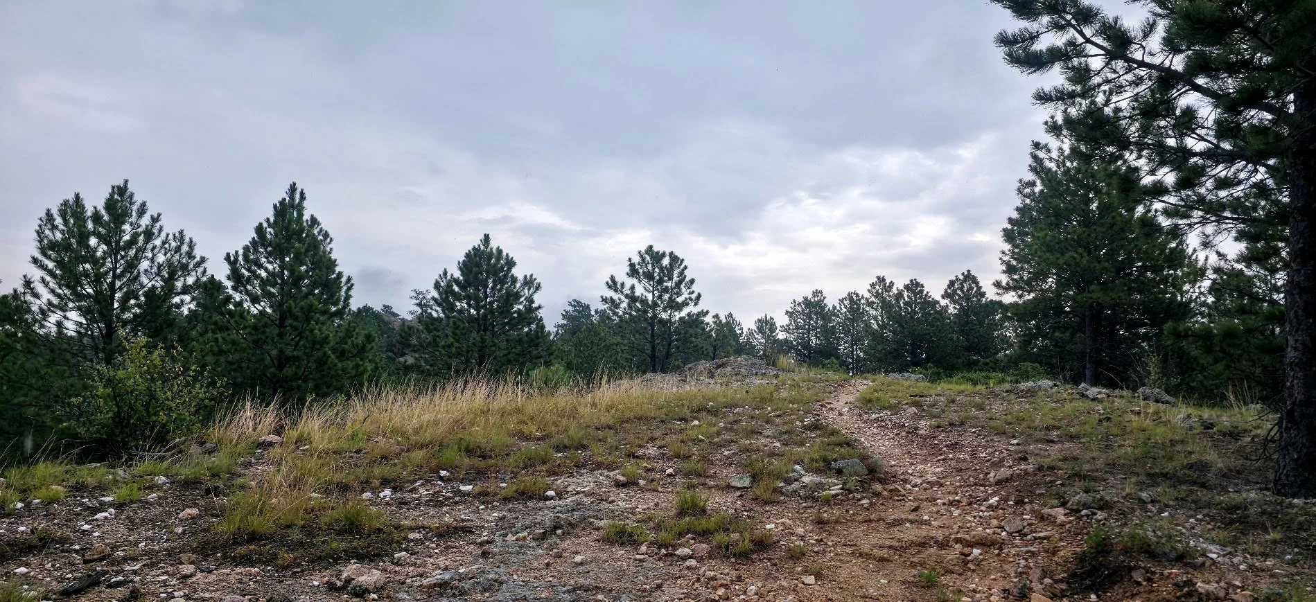
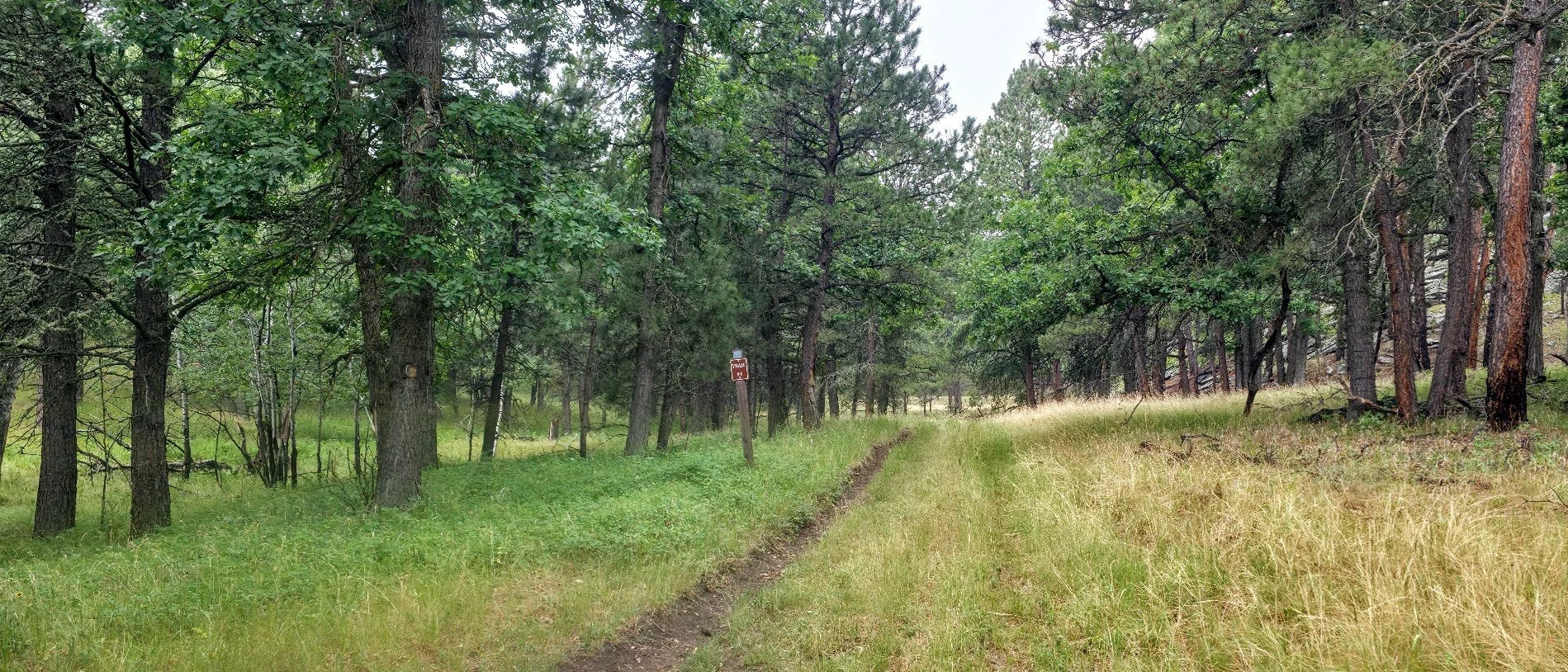
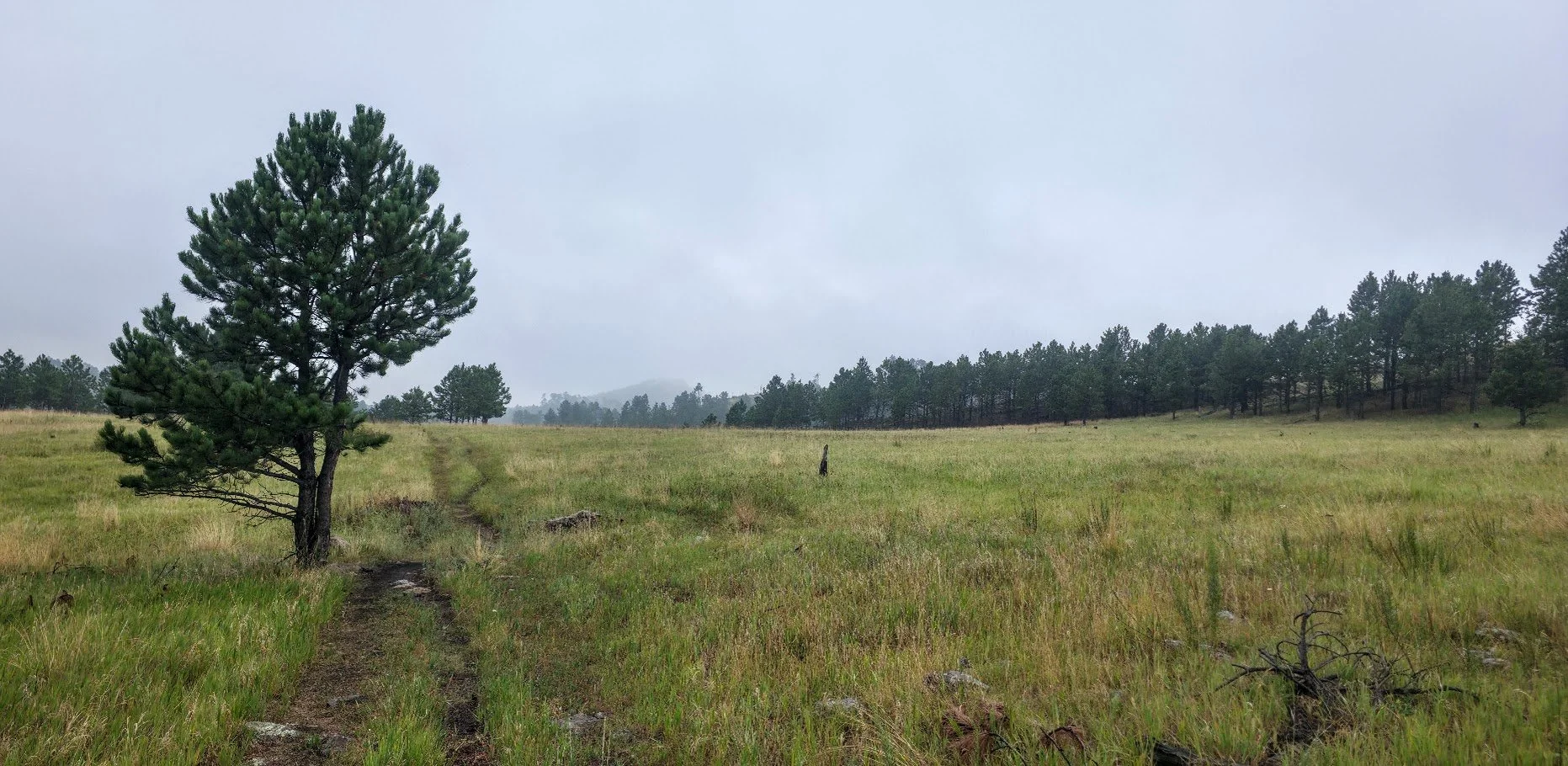
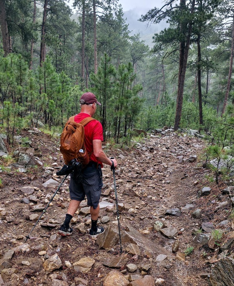
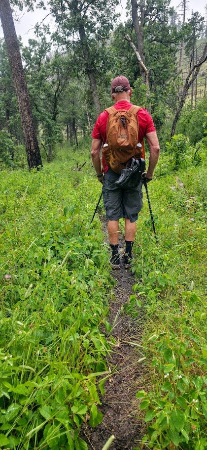
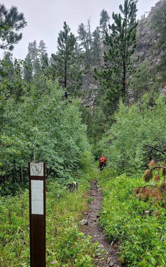
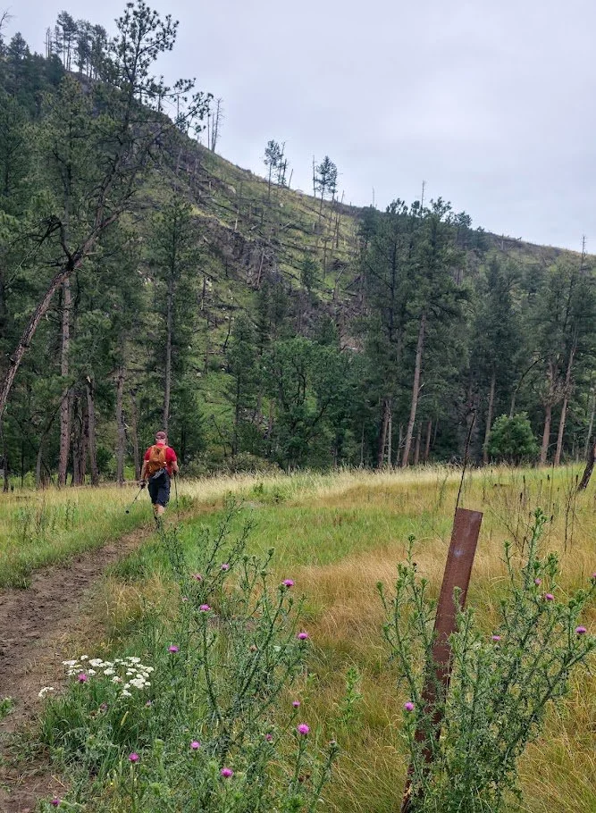
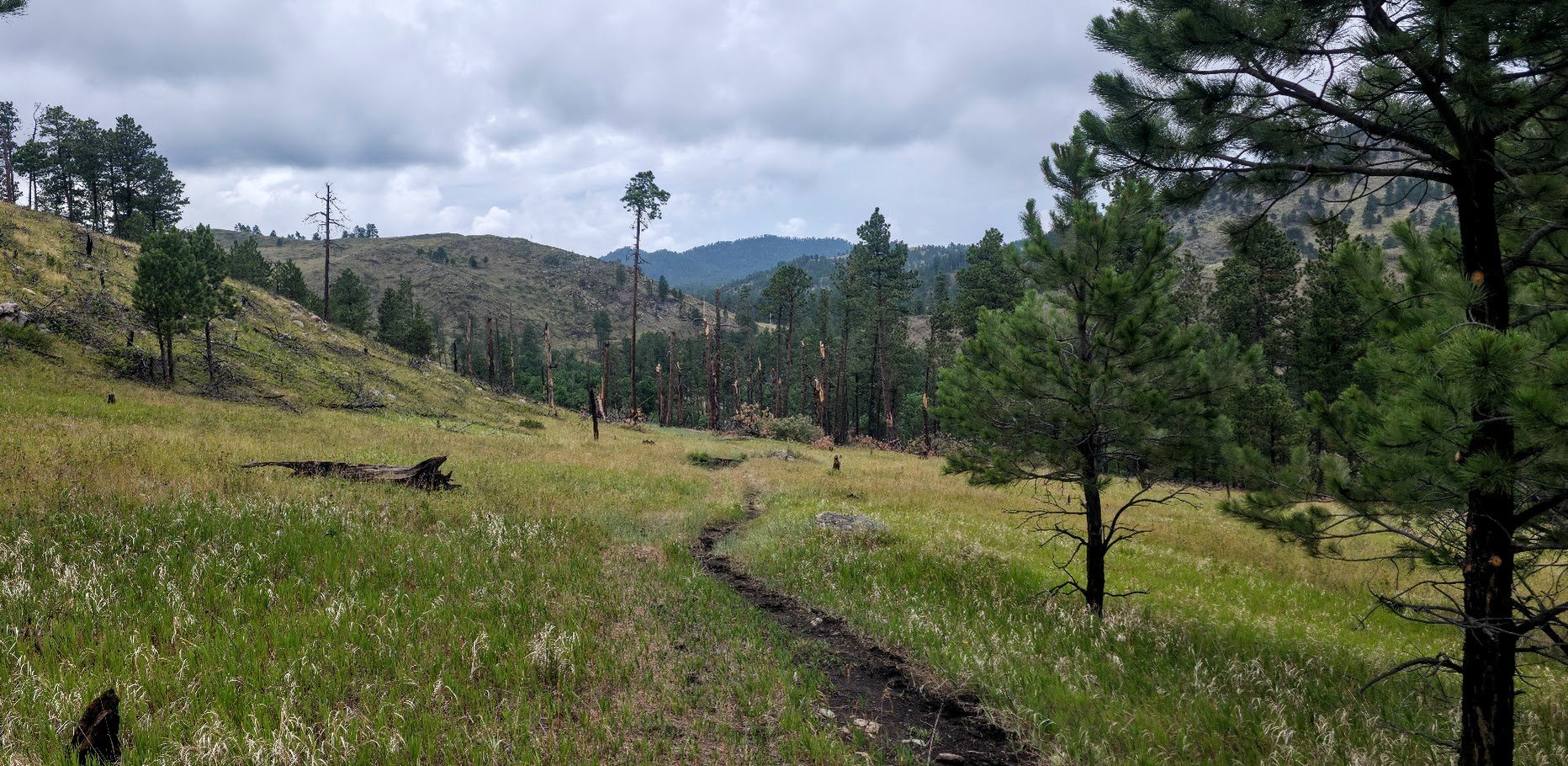
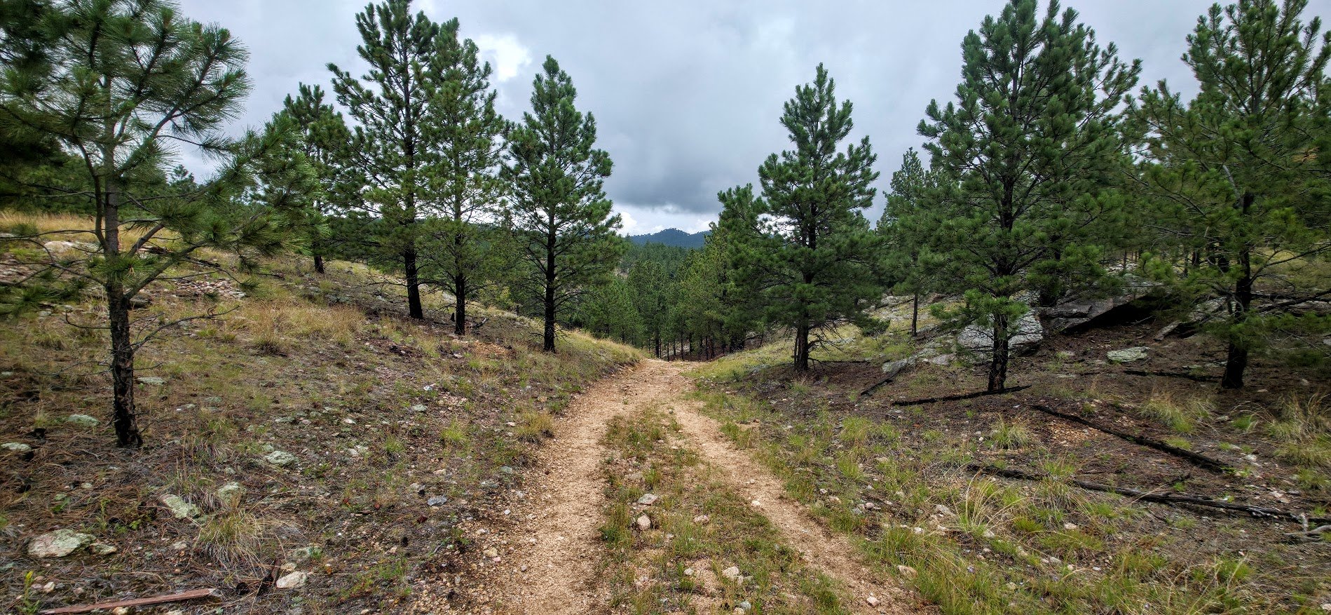
Beginning of the trail was beautiful.


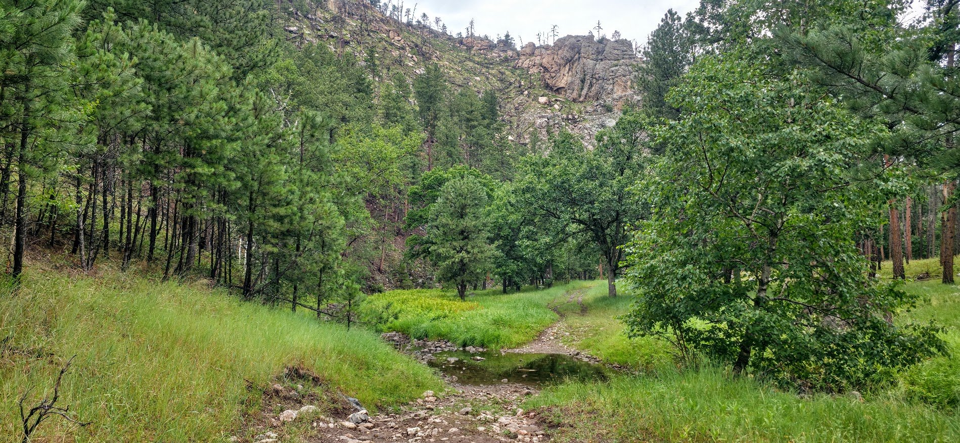
Follows the creek for a bit.

Had to cross here. Pretty scary. Went up to just below our hips and was running pretty fast. Glad we had walking sticks for support.

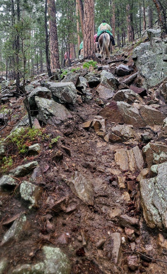
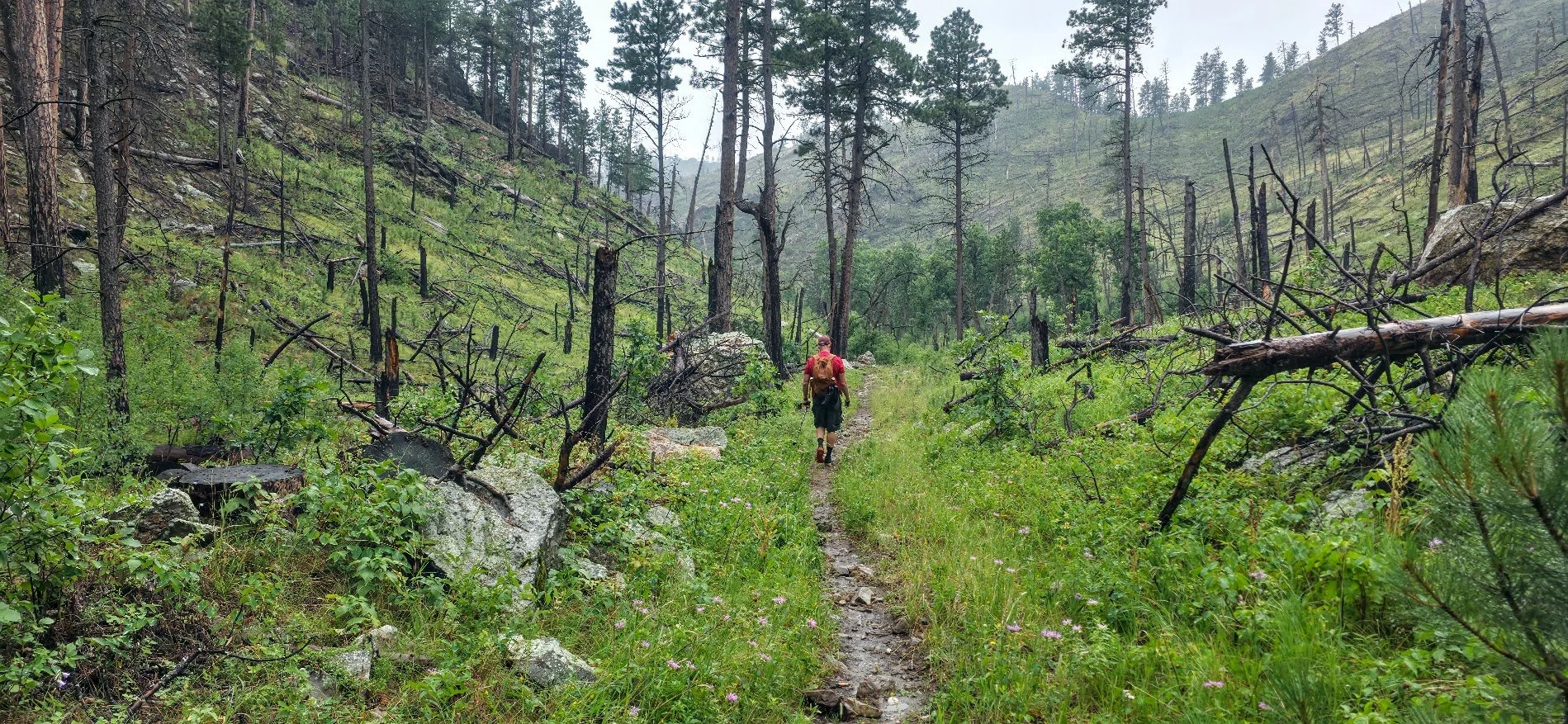
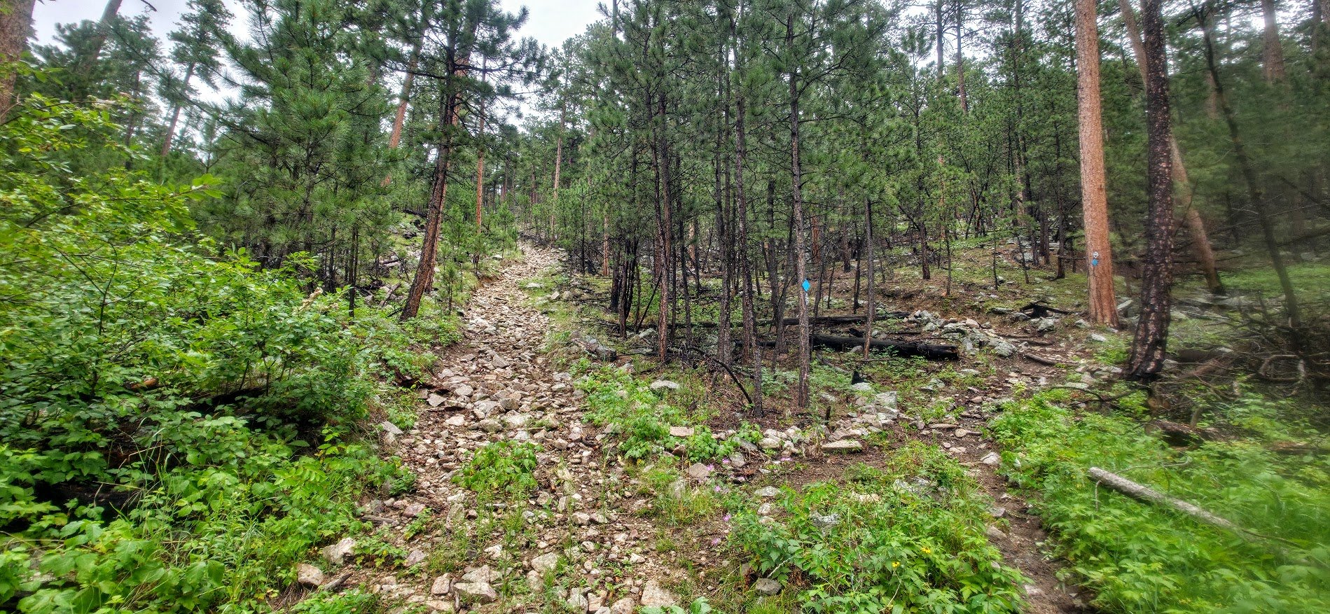
This is the part of the trail I least liked. Very wet, rocky, muddy, went straight up, had lots of poison ivy and not that pretty until you reach the top of the hill and start to come down again.

Very wet and muddy.

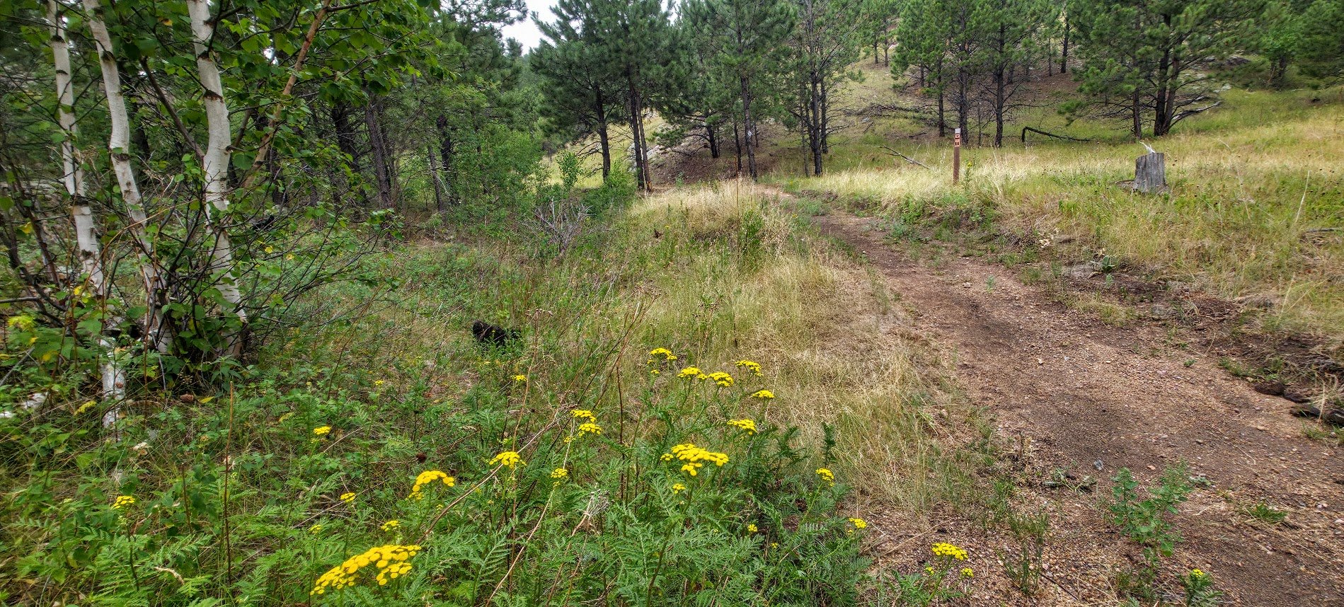
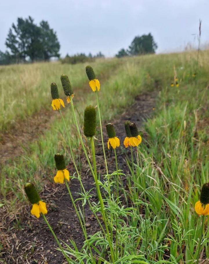
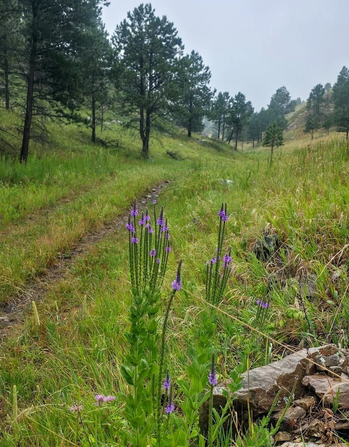
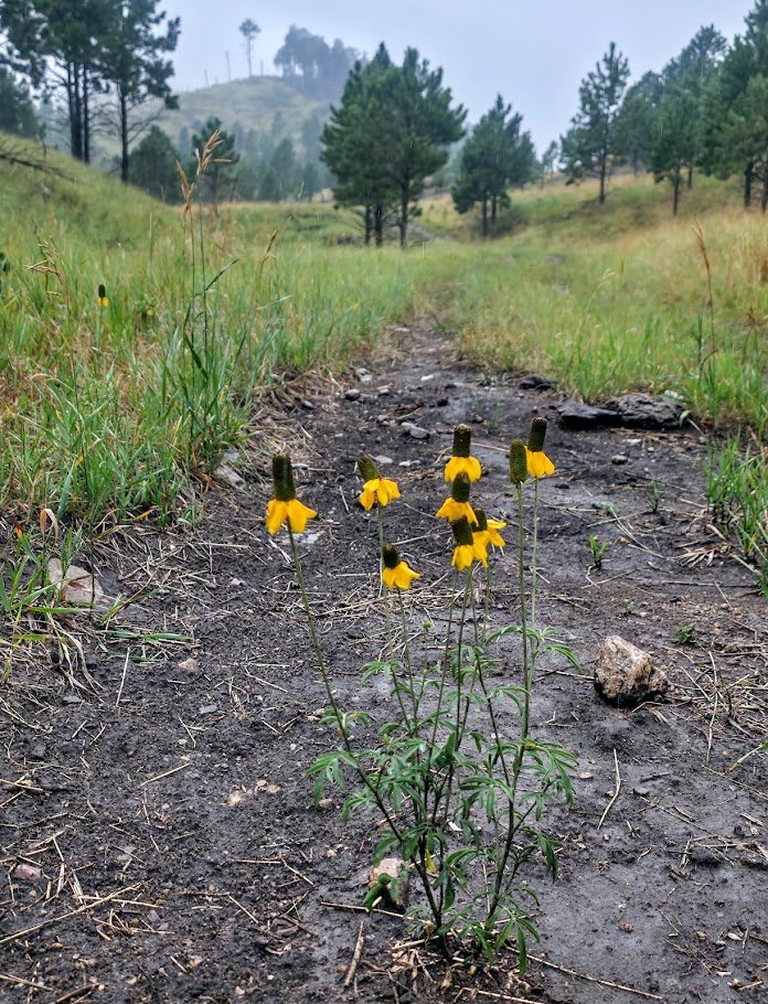
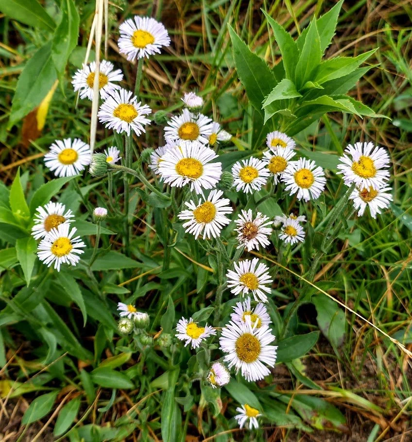
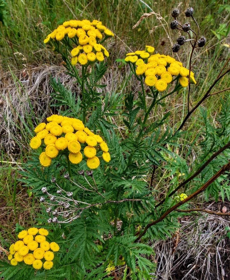
Lots of pretty flowers.

More uphill steep climbing. Was exhausting at times.

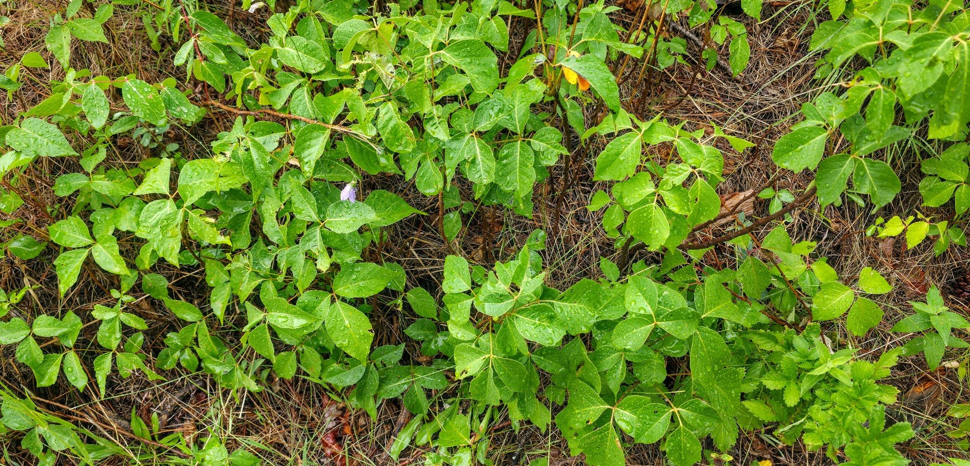
Lots of poison ivy near the trail so use caution.

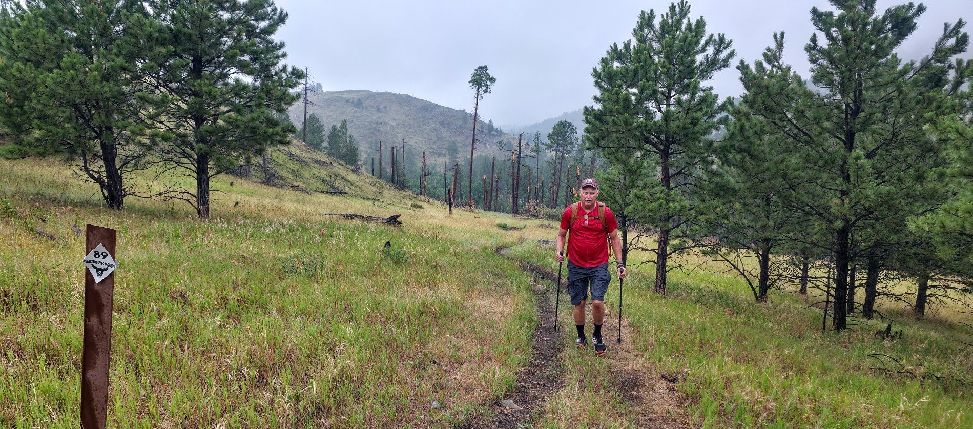
One mile to go.


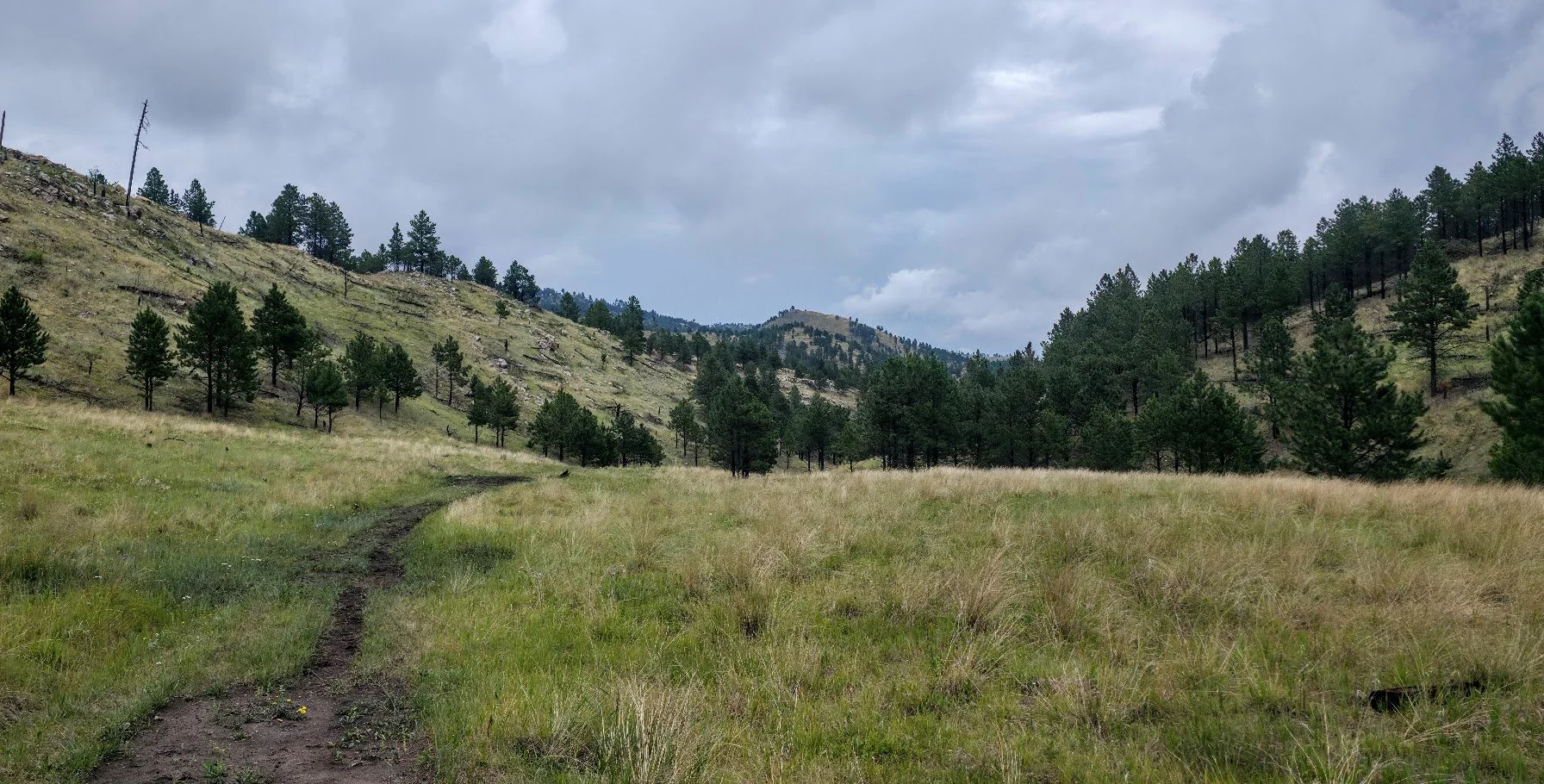
Coming back down the hill. Starts to get pretty again.
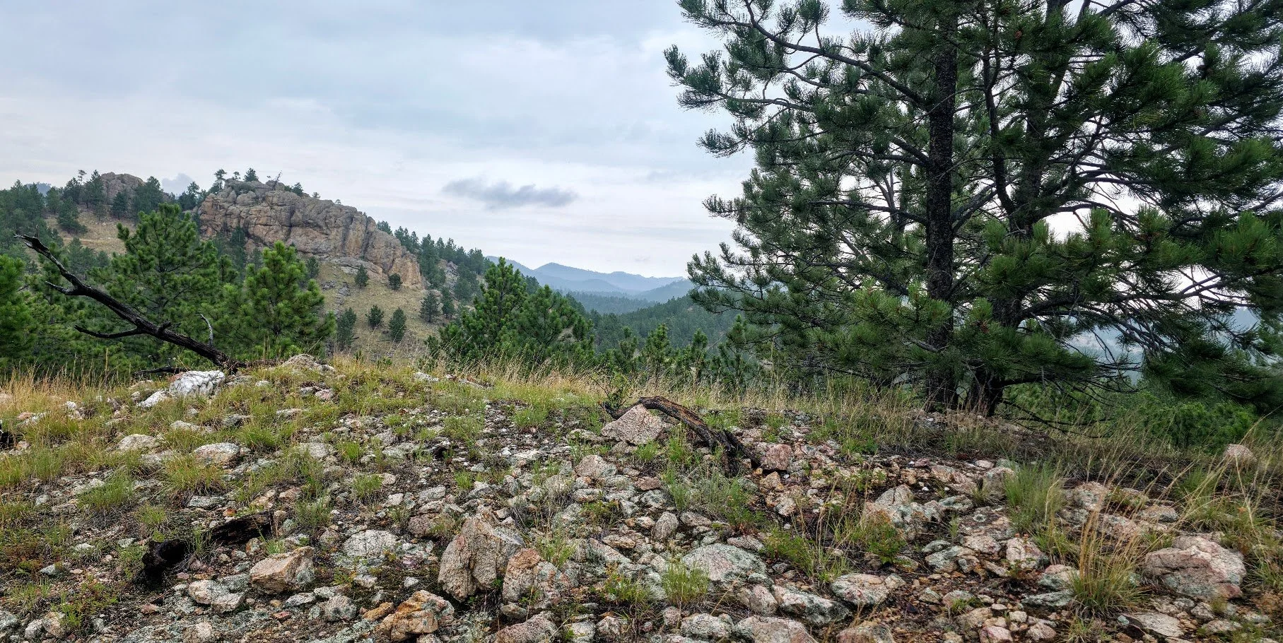
Just above Badger Clark - Still a ways to go, but very scenic.
Close to the end, but there are two buffalo right on the trail, so we have to make a detour into the woods.

Made it to the end - Badger Clark Memorial.
We redid this part of the trail in July 2026 and it was a little different. We started at Badger Hole and hiked to French Creek, had a little break, and then hiked back. It was very tiring especially going up the big rocky hill. We actually hiked from Legion Lake Campground where we were staying and it rained the whole first part of the hike. On the way back about 1/2 mile from the campground it poured making us even more wet. The main difference on this hike was the creek - it was there but very low and not moving so we were able to cross over the rocks without getting our feet wet, even though the rain did that for us. Overall, the section by Badger Hole is very pretty and easy. The section by French Creek is muddy, buggy, rocky, a lot of poison ivy, and a lot harder.
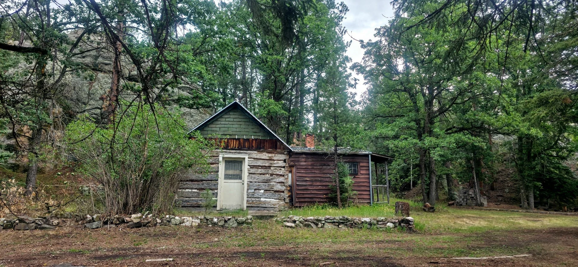
The Galena Creek Schoolhouse is located between Legion Lake and Badger Clark on a small dirt road. The cabin is located in Custer State Park, and included in the National Historic Register. This was the first school house built in the Custer area. This is easy to get to and a great side trip if at either location. Just walk below the dam at Legion Lake or continue down the road past the parking lot of Badger Clark to get there. If walking the Centennial Trail, this is also an easy side trip.
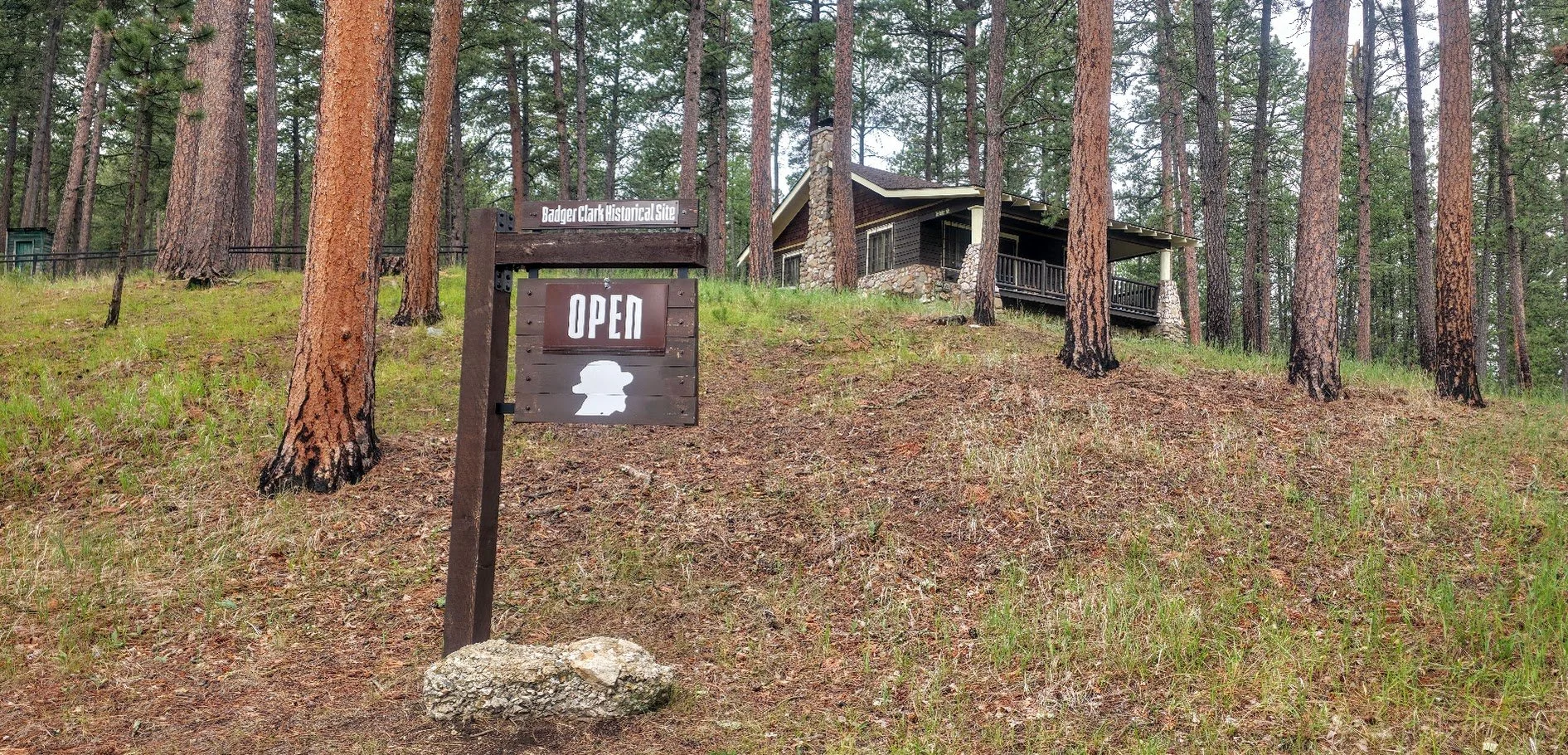
Badger Clark Cabin - next to our starting point. Badger Clark was a famous writer and poet who lived in the area for over 30 years in a small cabin on site named “The Badger Hole”. There is also a 1 mile hike around the cabin which is easy to do.
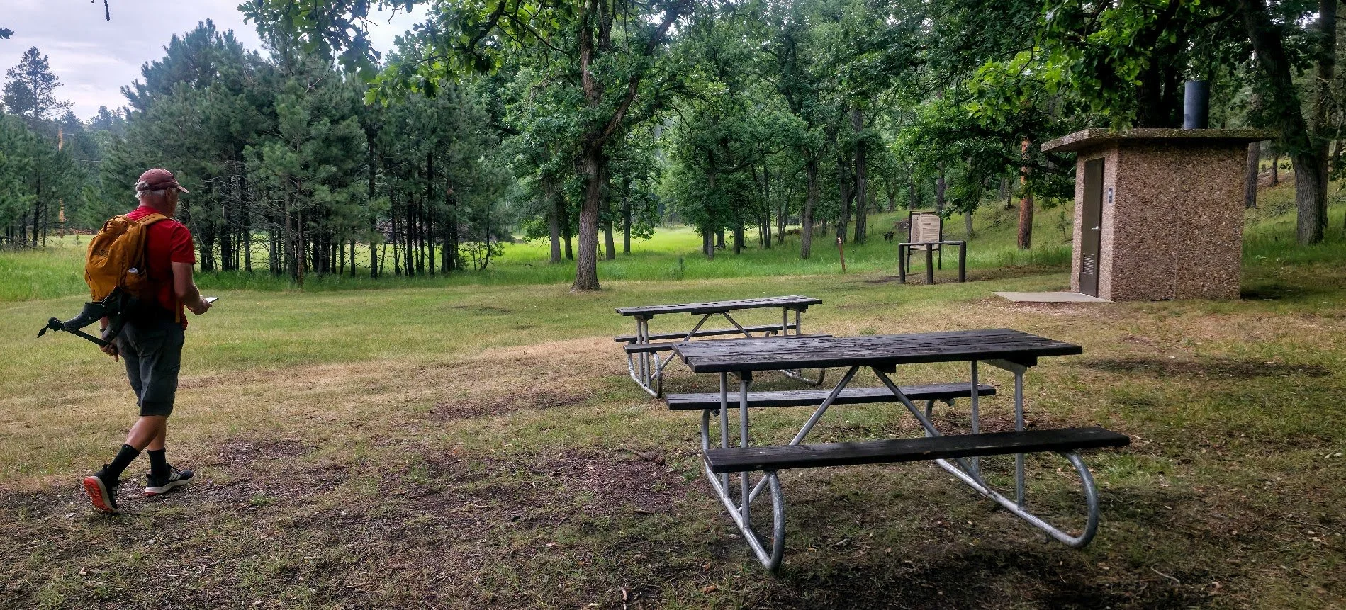
Pit toilet on site.
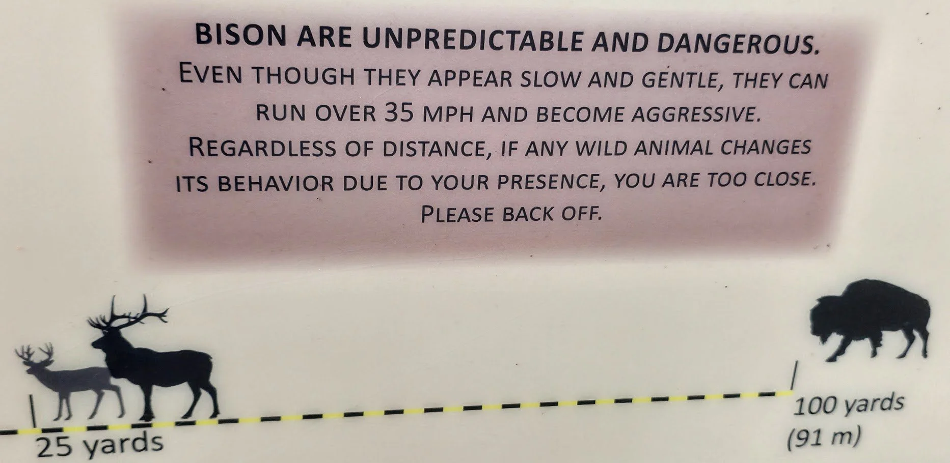
Warnings - The buffalo have been a little dangerous this year with one death and some injuries.
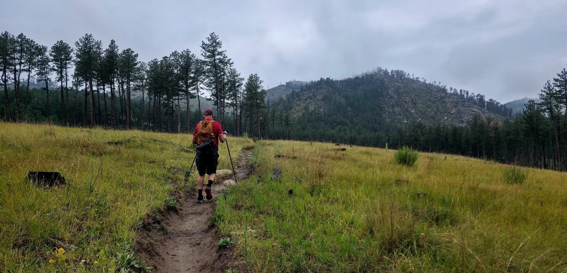
Here we go.
Looking behind us.
Our destination.
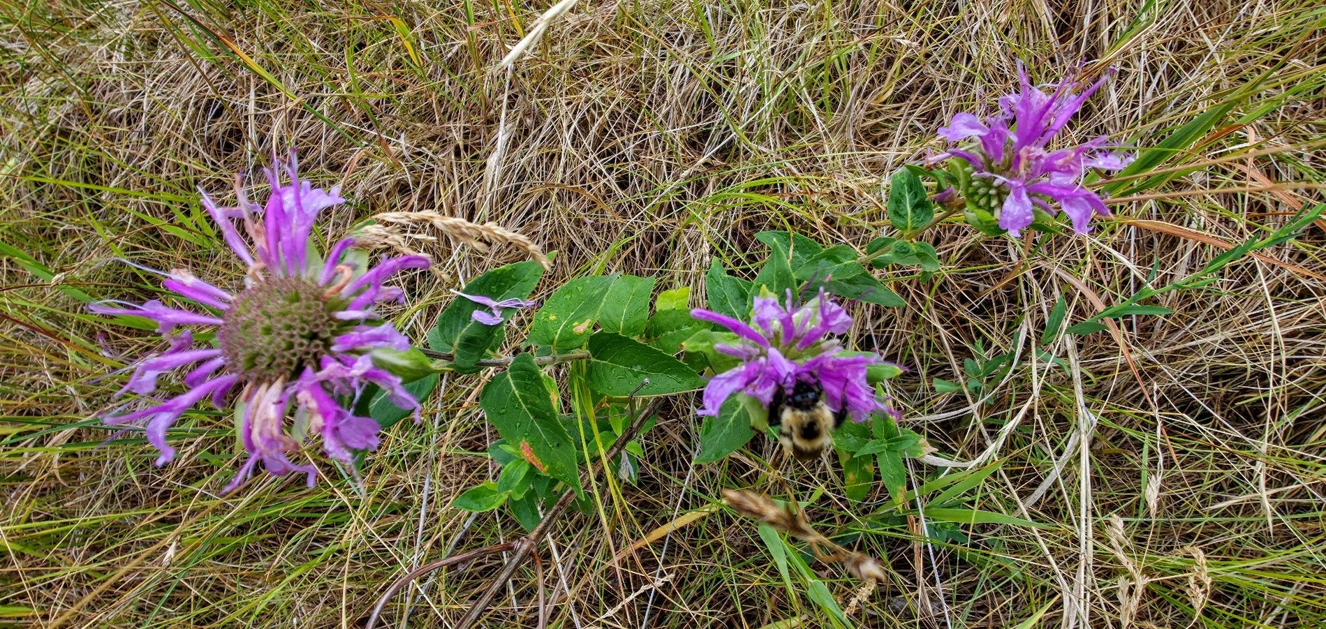
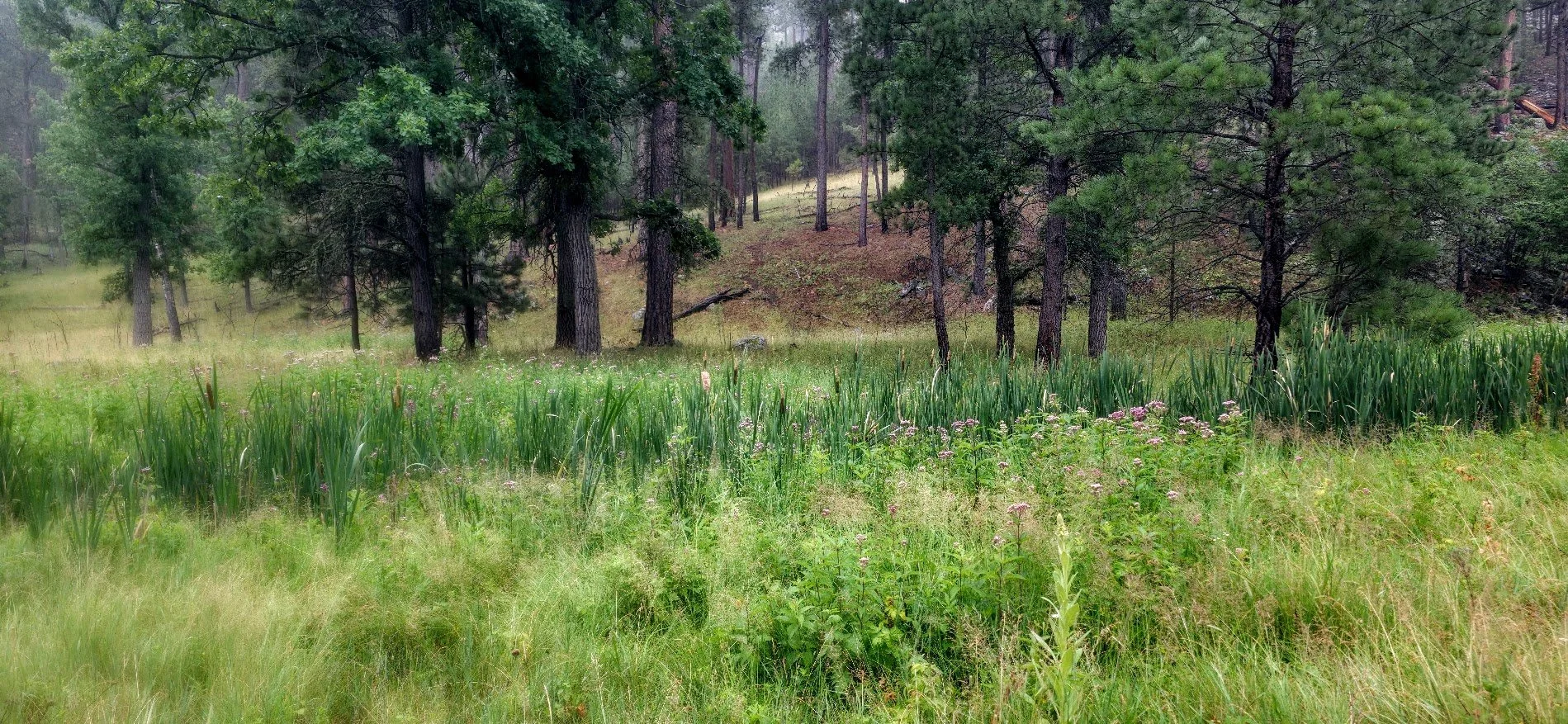
Lots of flowers. Deer were hiding in here and took off running.
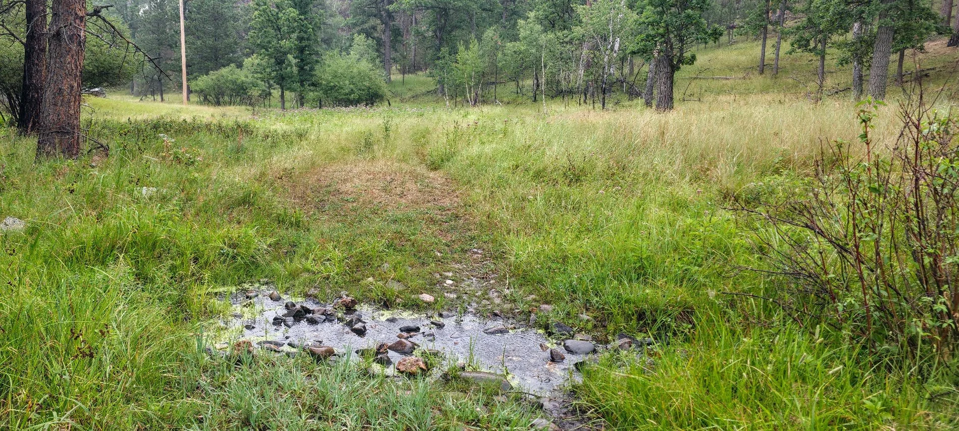
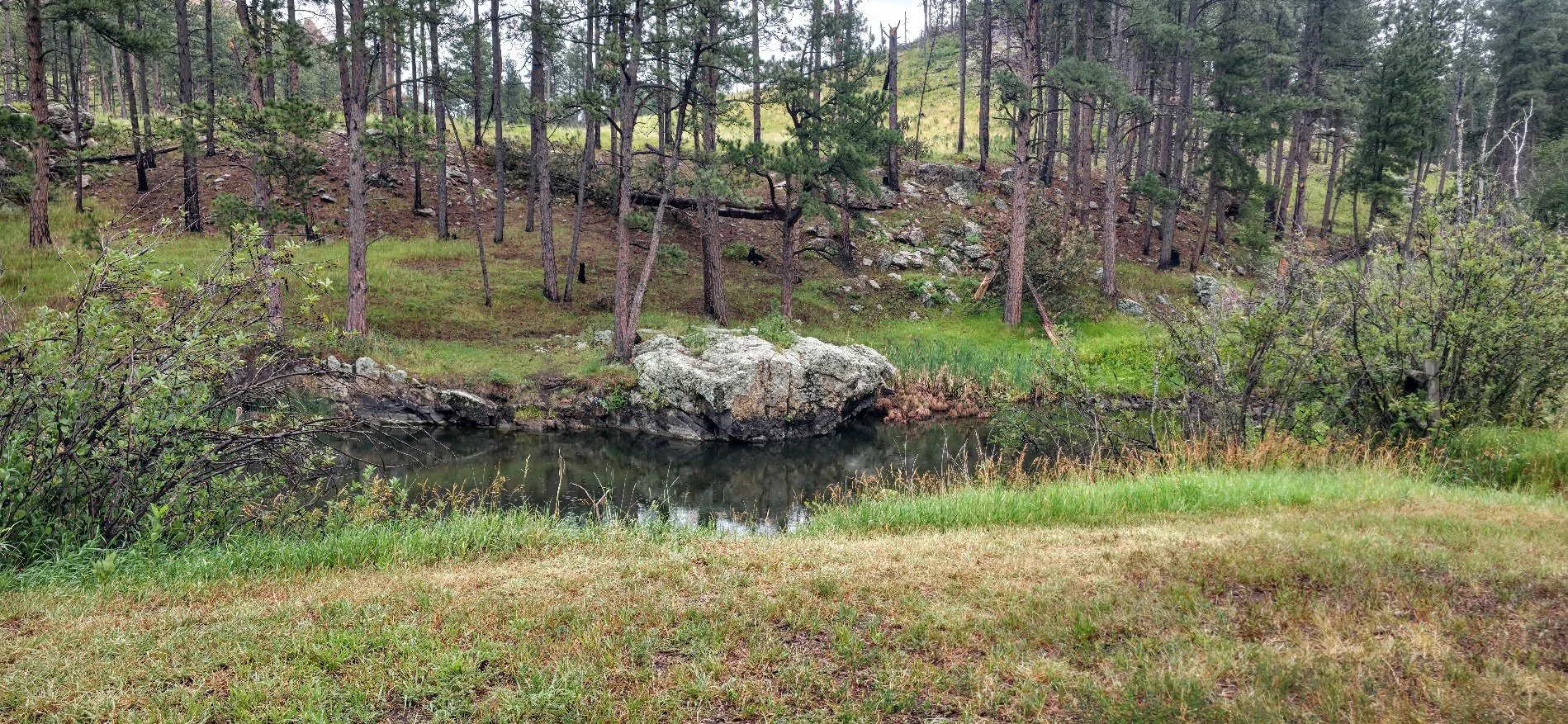
First sign of water other than the rain that pelted us most of the way.

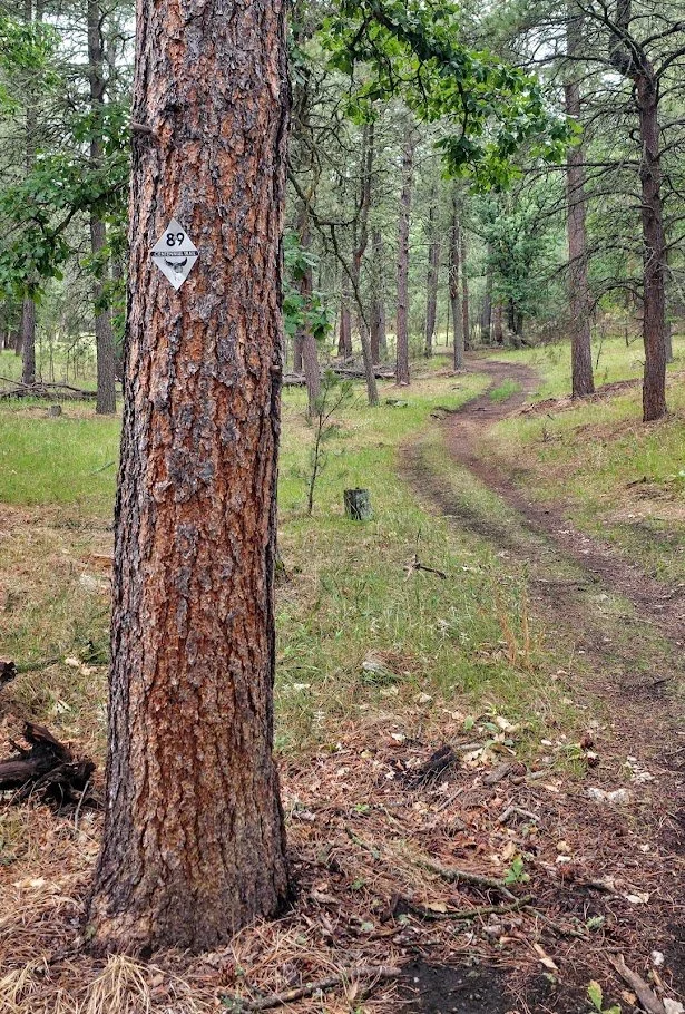
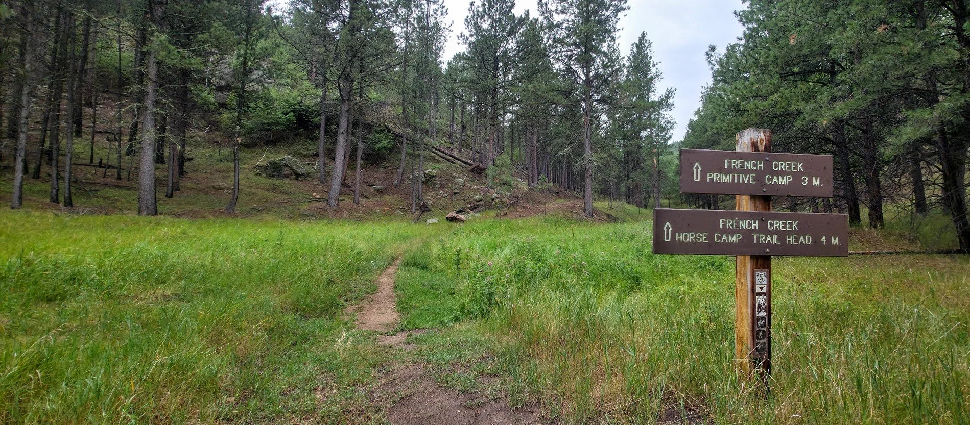
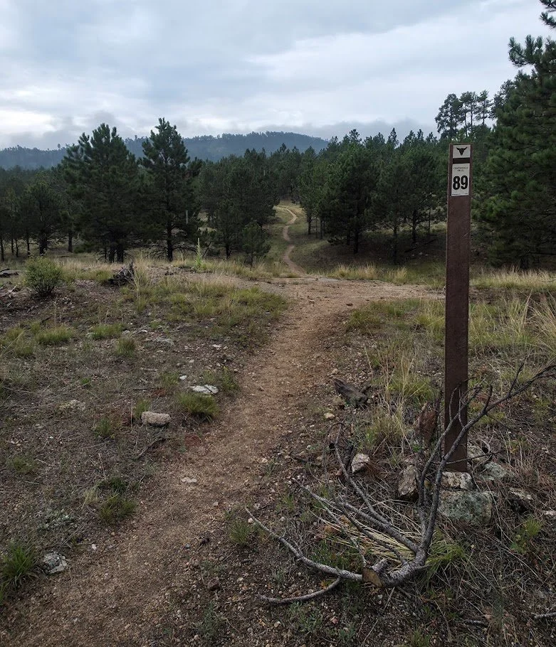
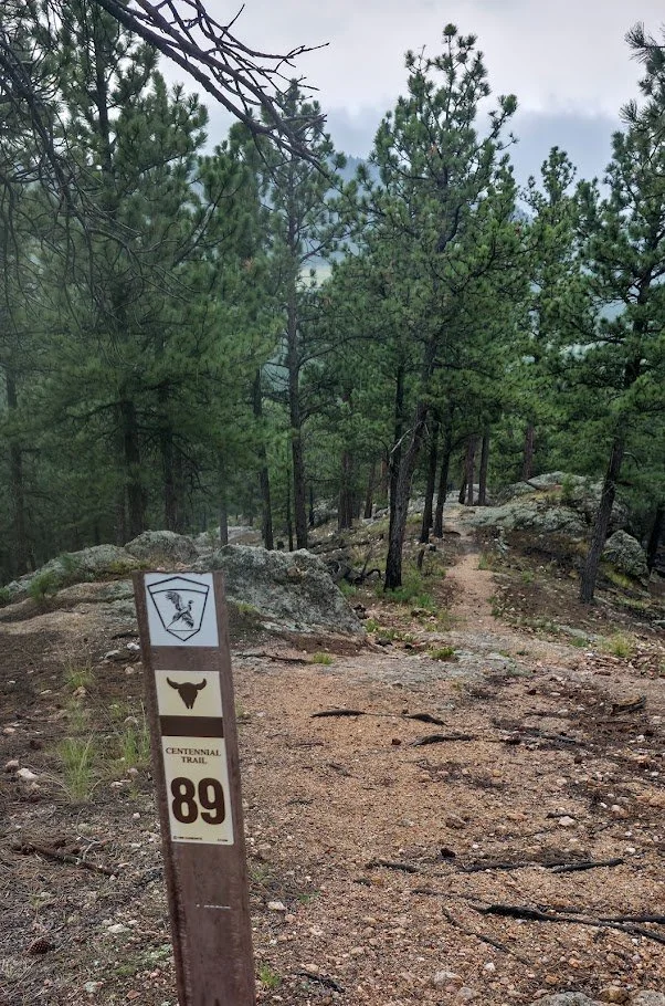
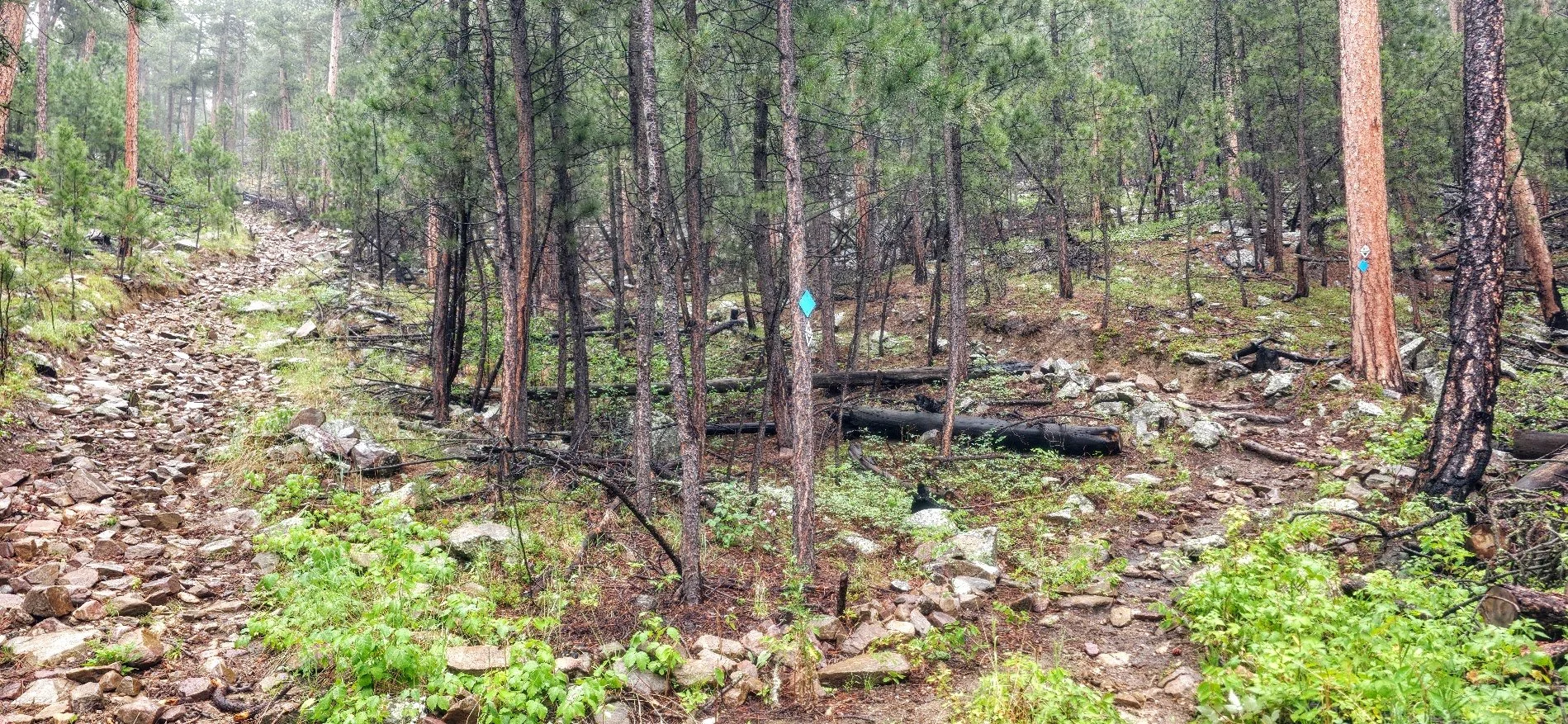
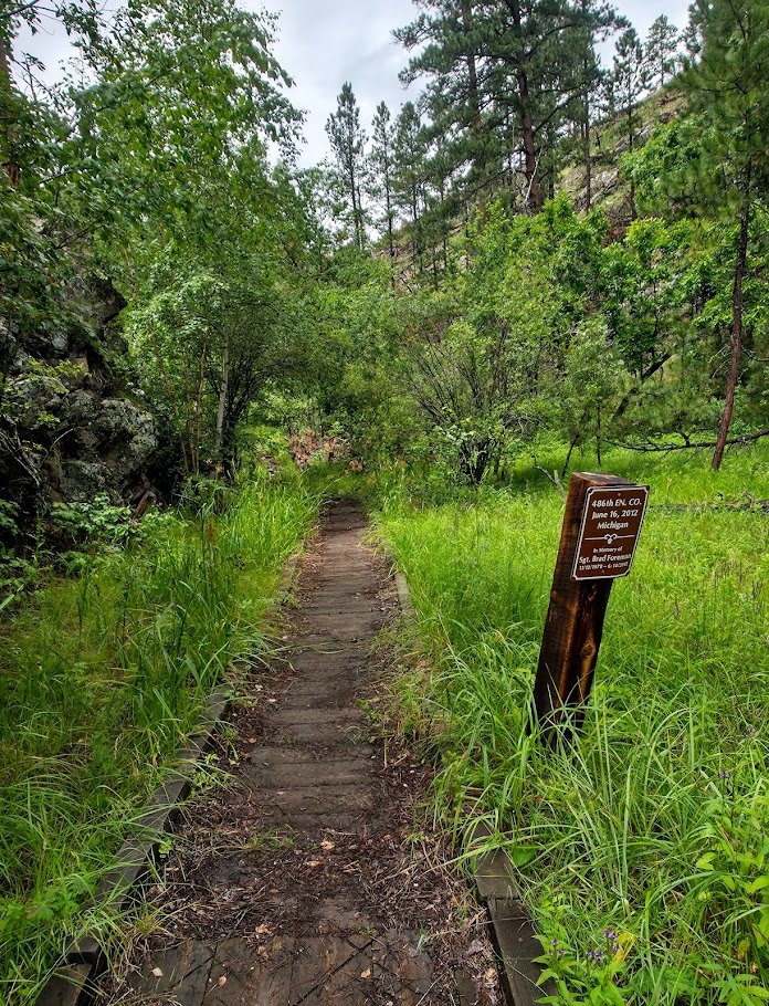
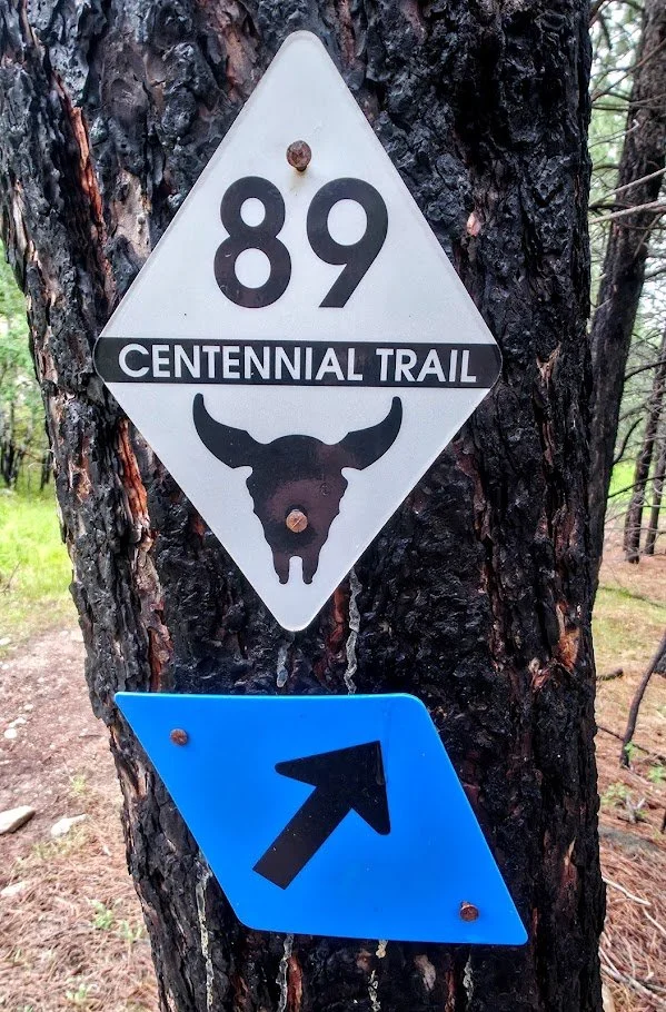
Lots of signage.
Below us the Barnes Canyon Trail and housing for Custer State Park employees.
This is where it starts to get hard. Large rocky hill to walk down.
Met horses on this section - probably worst part we could run into them.
Trail had divided. We came down on the trail on the right. Will probably take the trail on the left when we head back.
Lots of poison ivy you have to walk through.
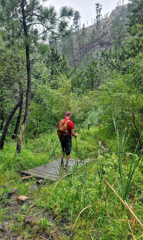
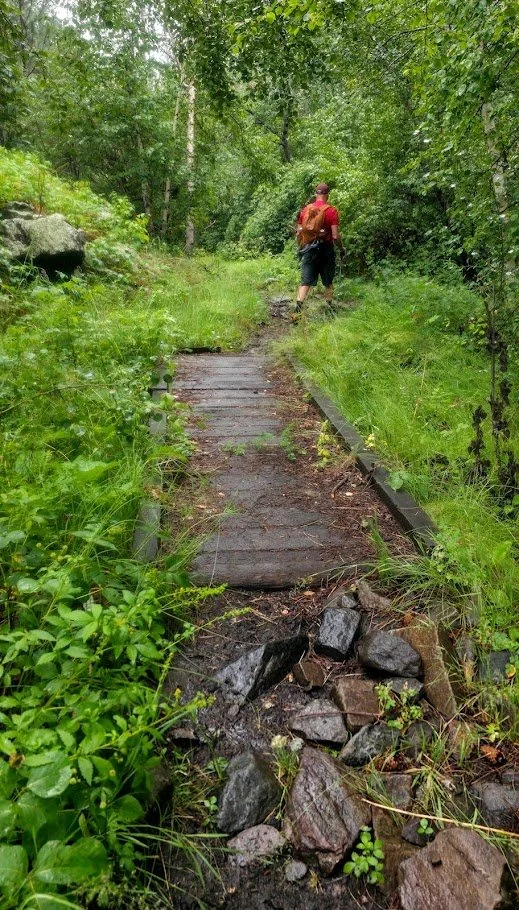
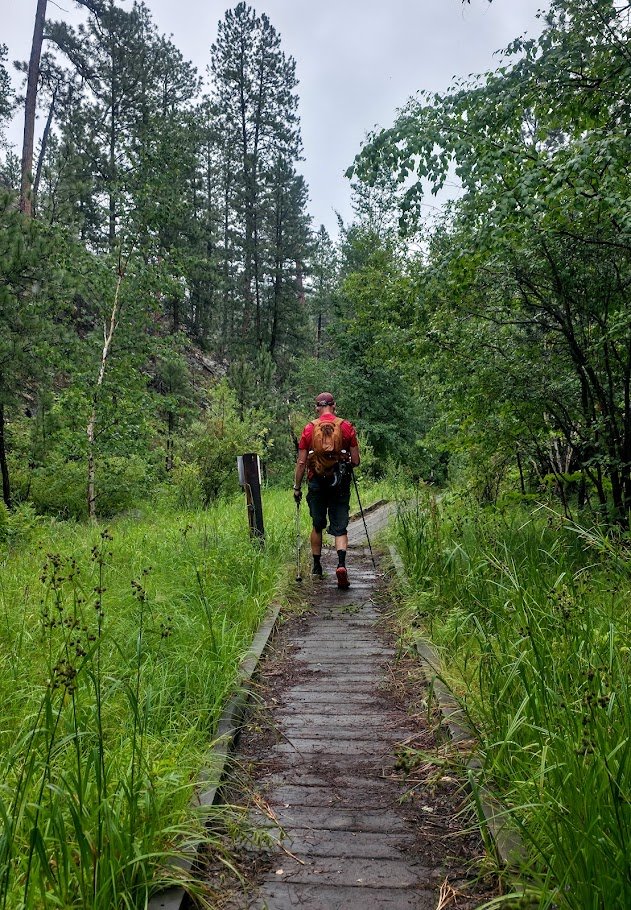
Some walkways you cross over.
Getting close - 1 mile to go.
French Creek.
Really wet and muddy.
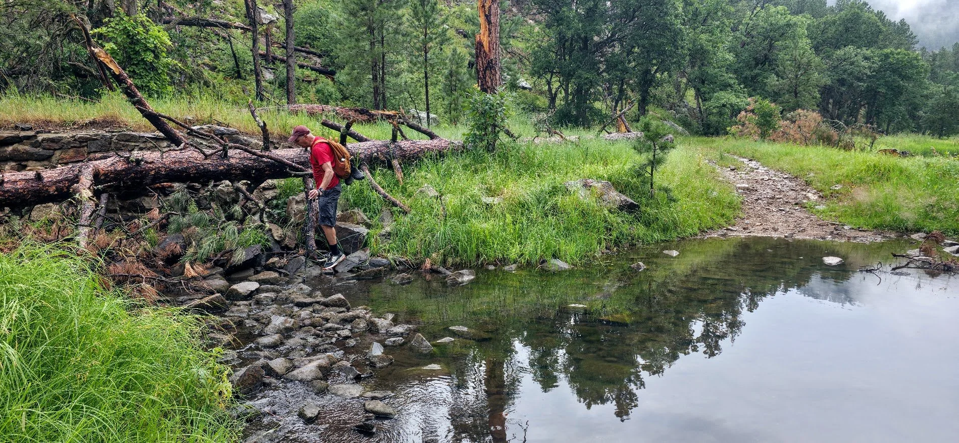
First time crossing the creek - not bad - can cross on the rocks.
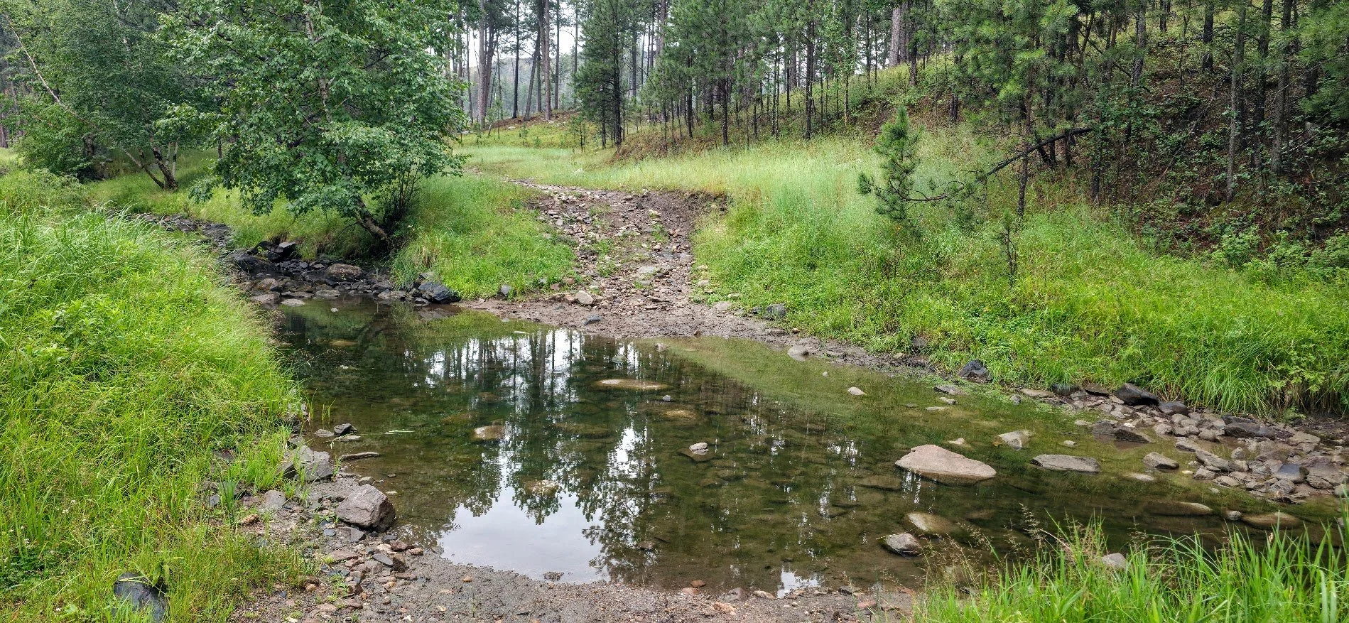
Second time crossing the creek - pretty low.
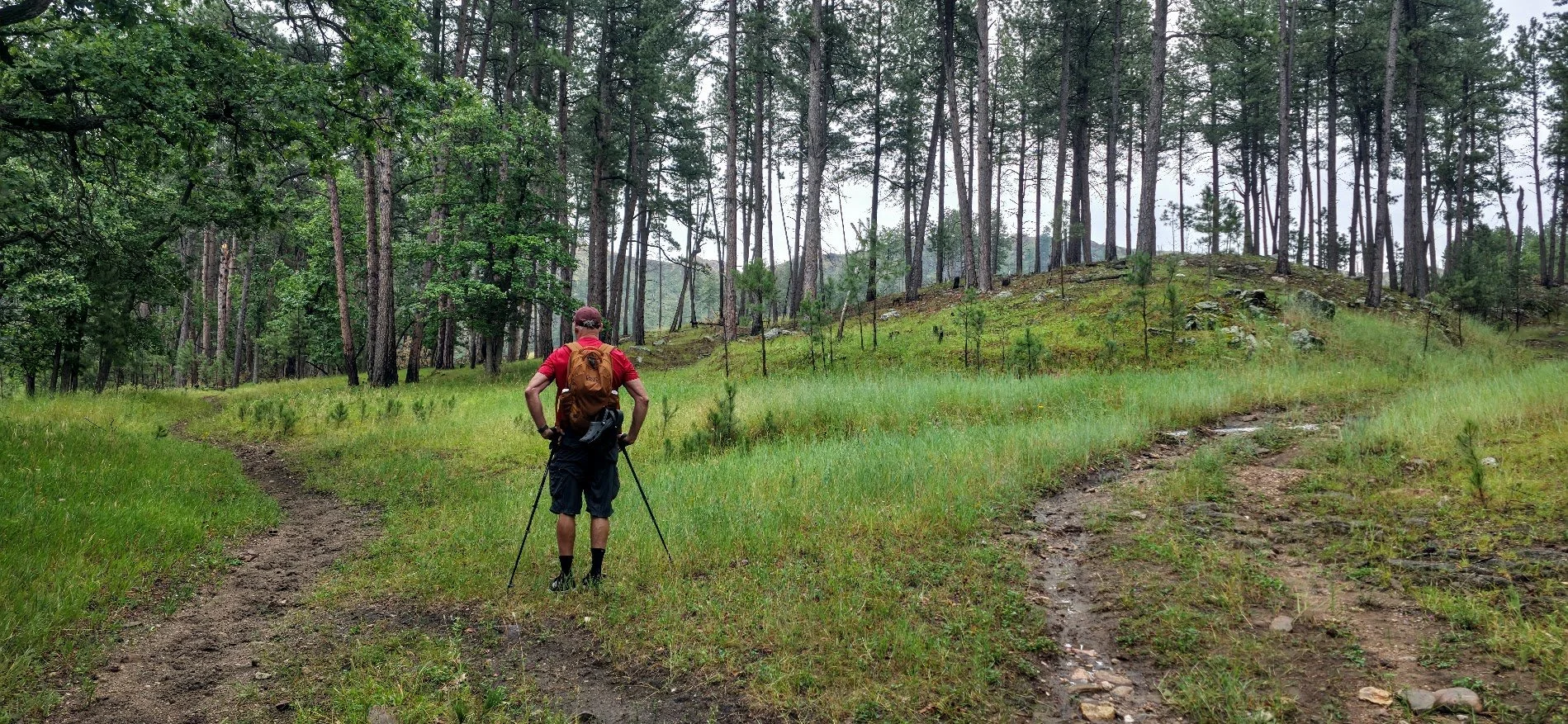
A sign here would be nice - left follows the Centennial Trail - right is a shortcut.
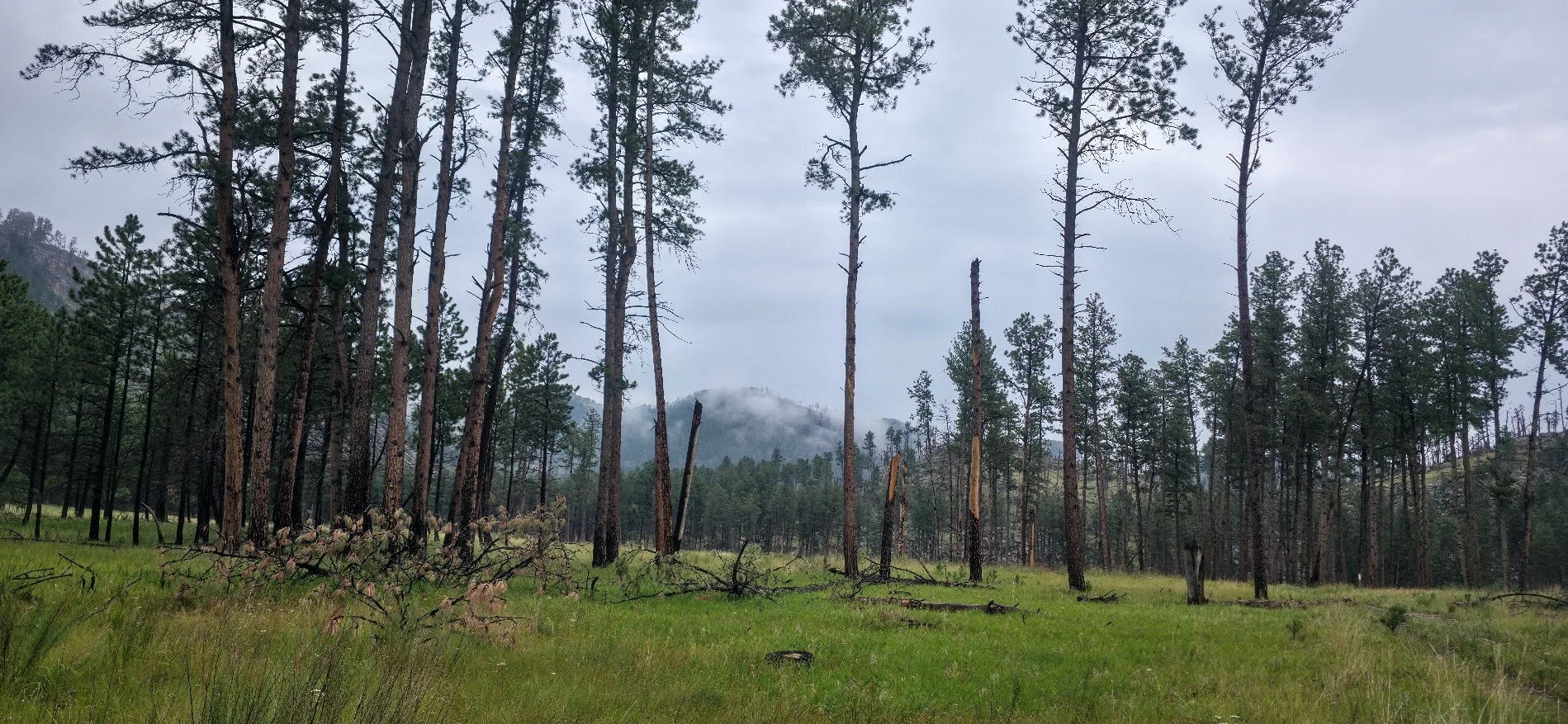
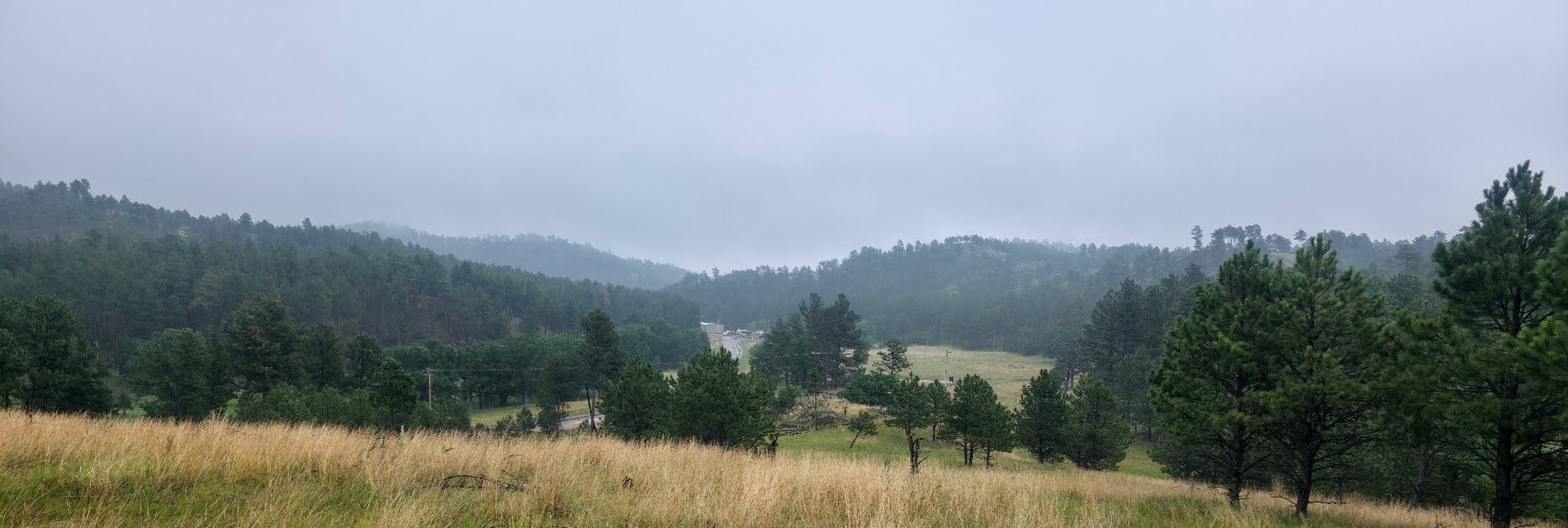
Very foggy.
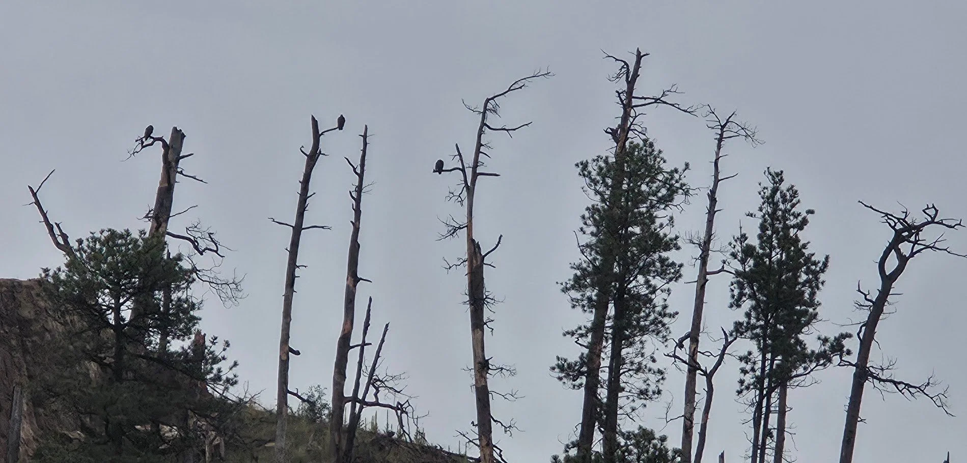
Turkey vultures on the cliff ?
We made it.
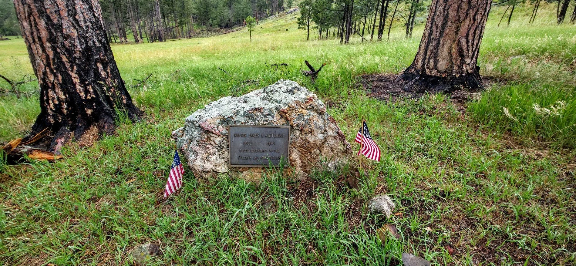
This is the gravesite of Major James Whitehead who homesteaded in the French Creek area and died in 1899. The bronze marker was placed where the old homestead use to be. The gravesite is located off Lame Johnny Road right where the Centennial Trail starts in Custer State Park, South Dakota. If you look north of where you need to park, the gravesite is just to the northwest of the cabin in the woods. Something cool to see when starting or ending the trail.
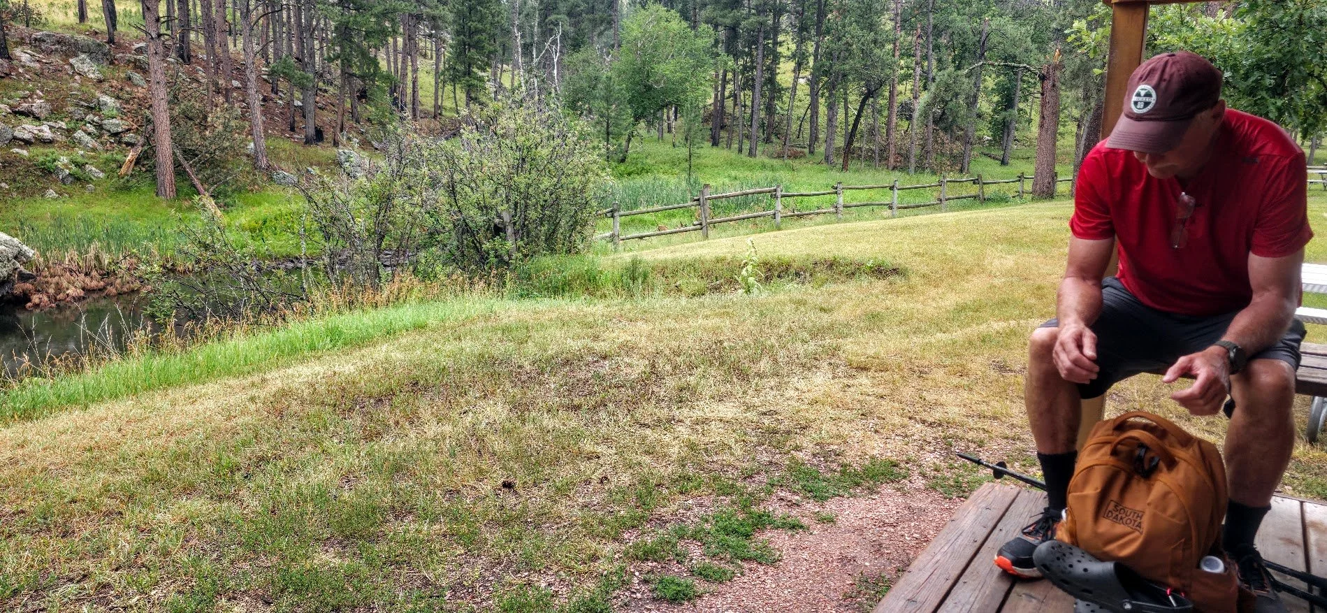
Stopped and had a break at an empty cabin.
This was our view.
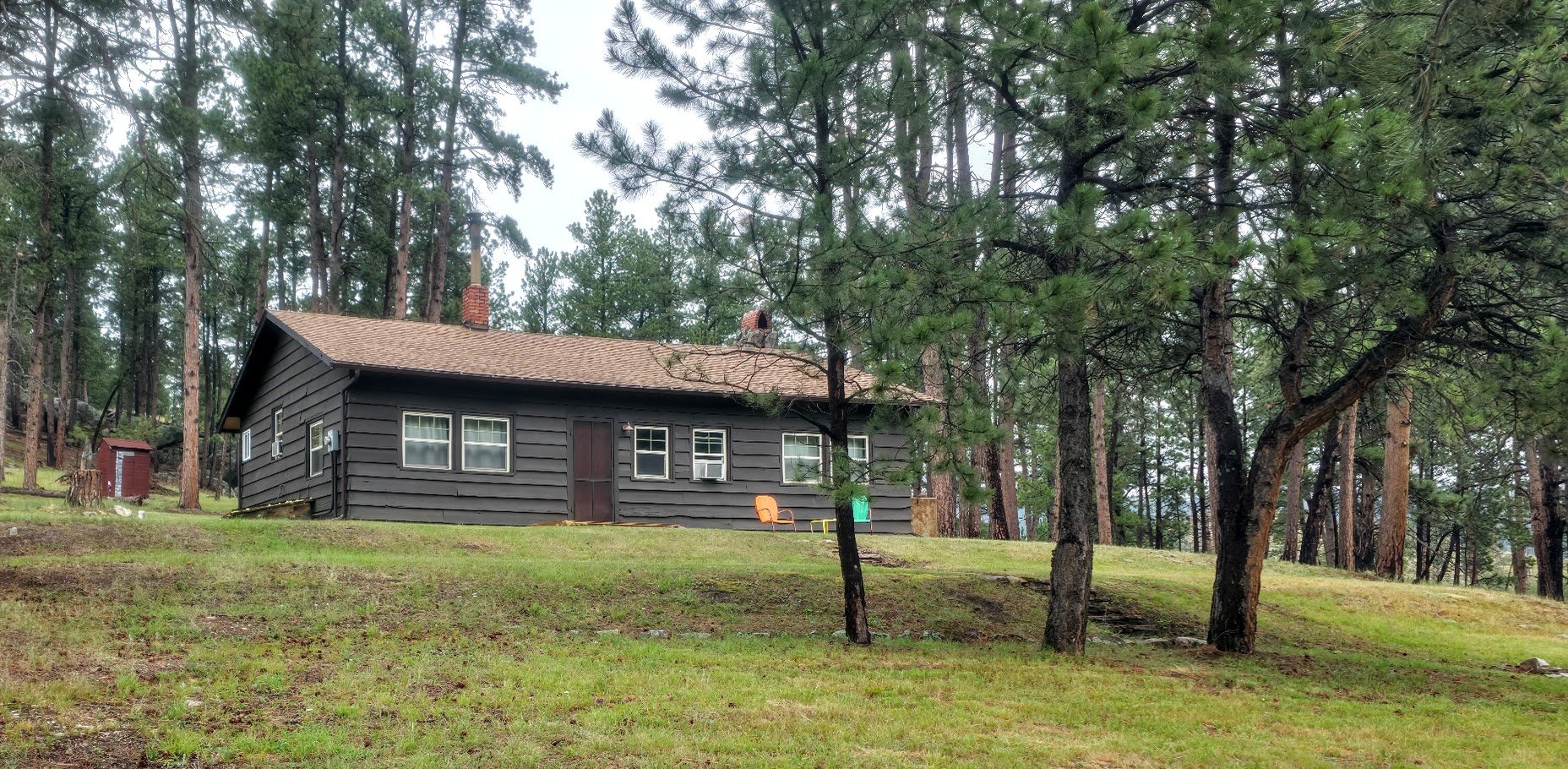
Cabin we stopped at on the way back.
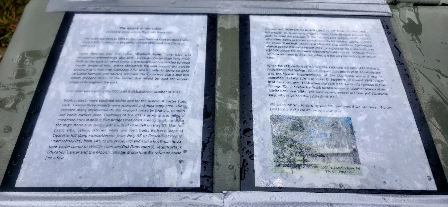
Interesting information - hard to read with all the rain.
Back across the stream we go.
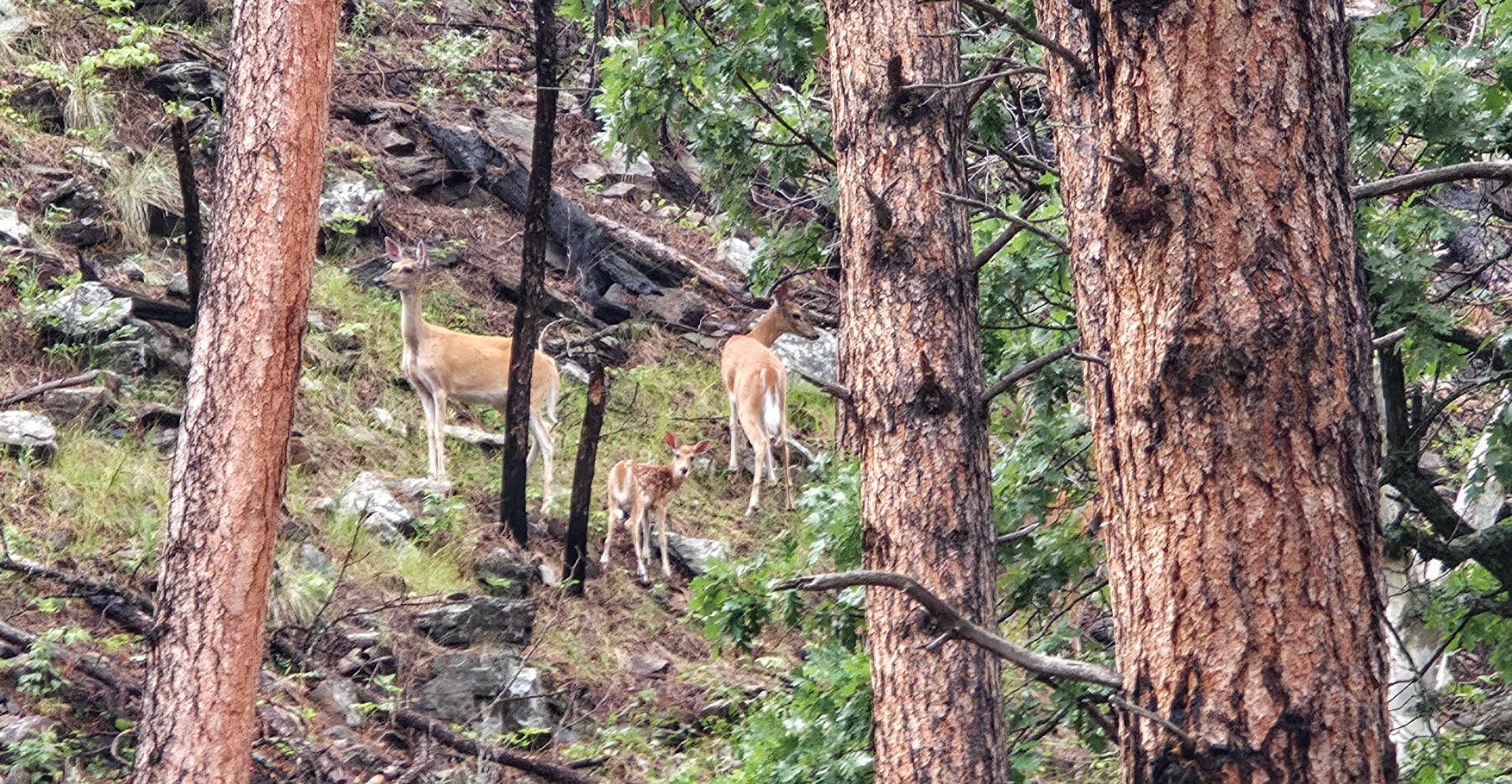
Saw some deer on the hillside.
Back up we go - we choose to go to the left - a little easier we thought.
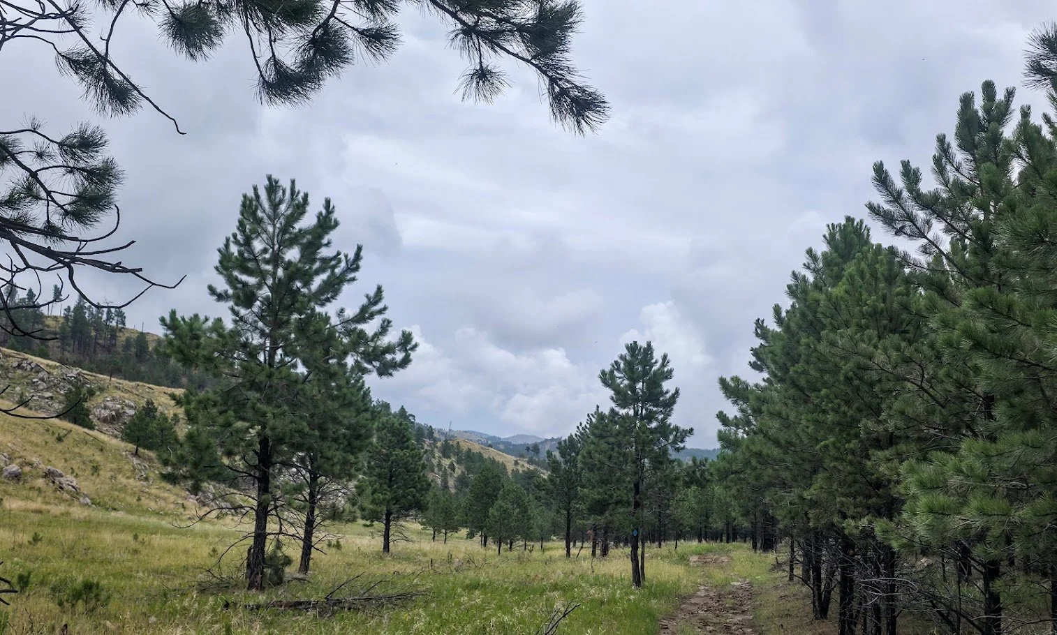
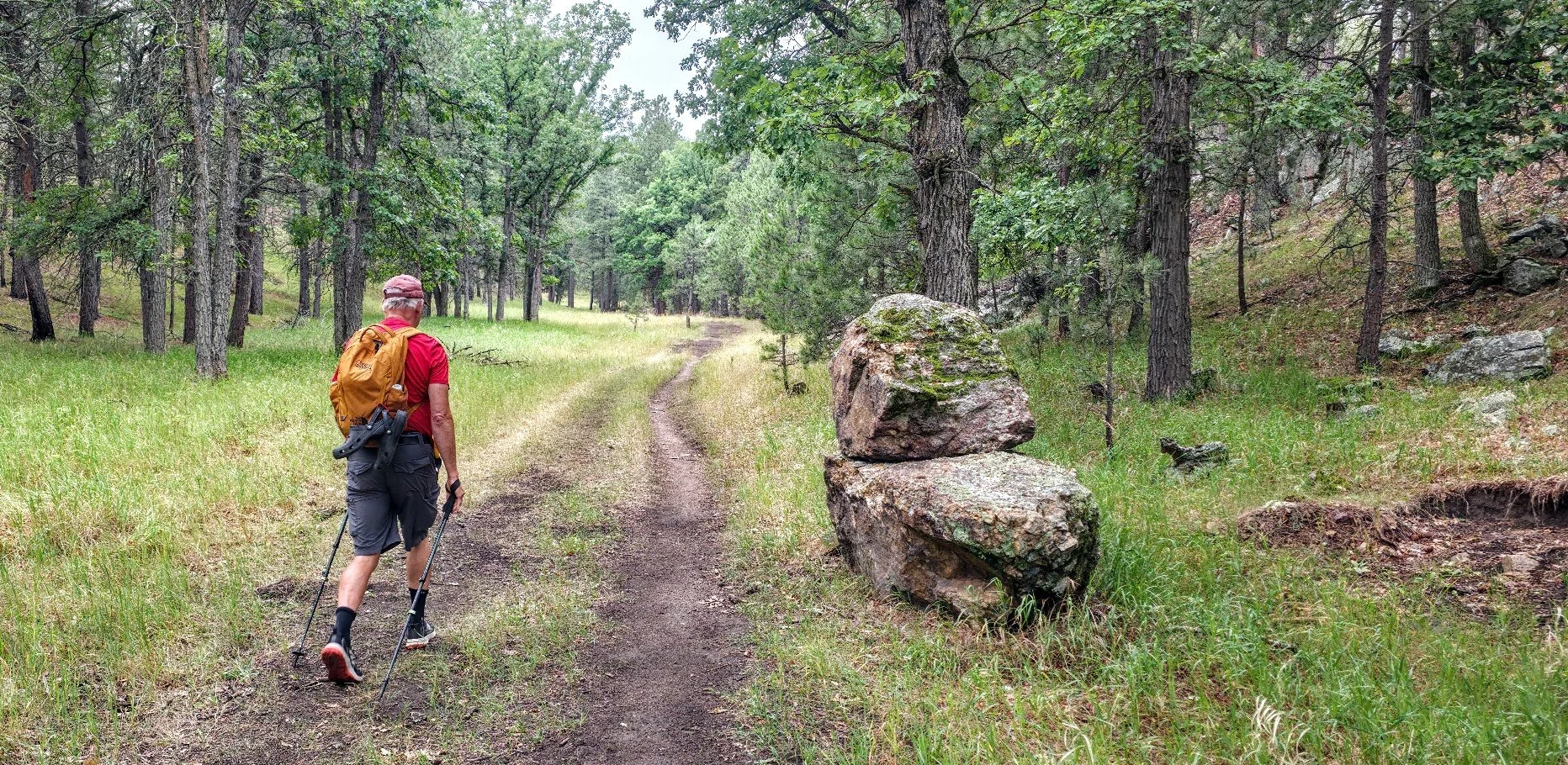
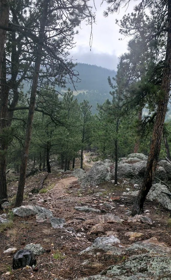
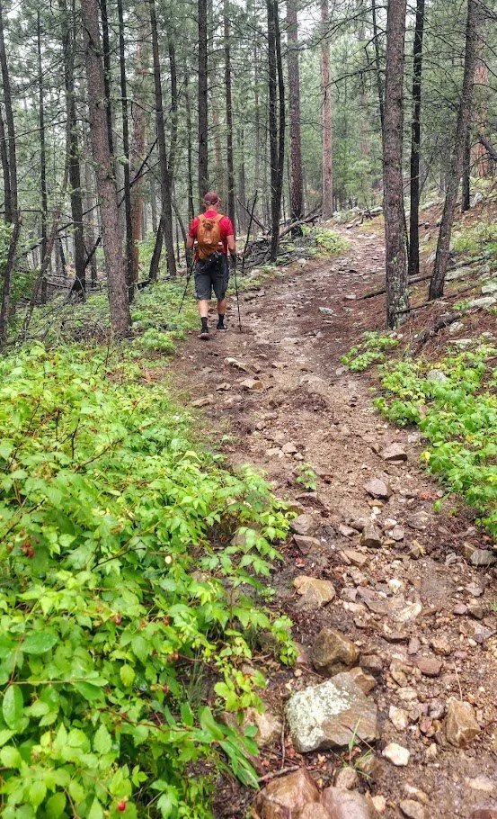
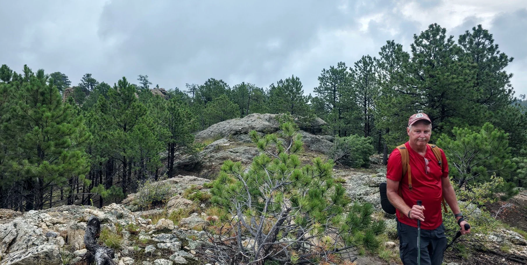
This section was peaceful.
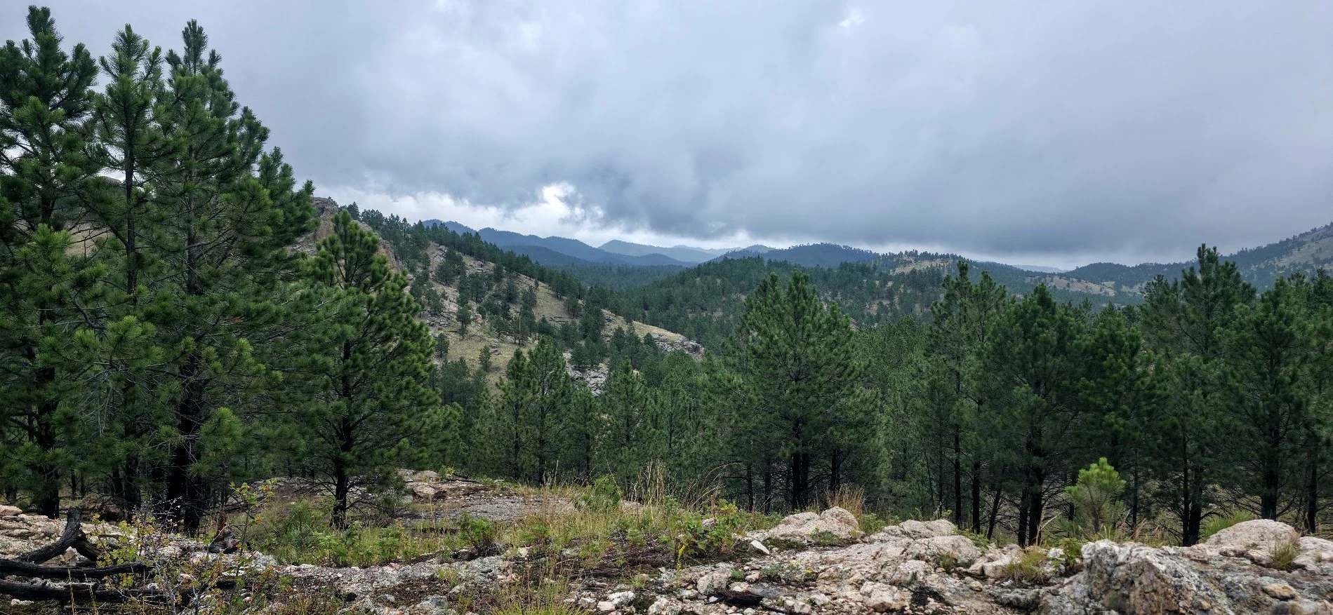
Nice skyline views.
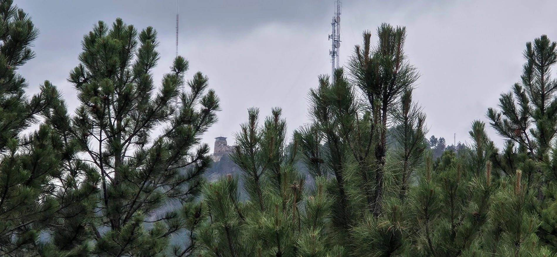
Mount Coolidge in the background.
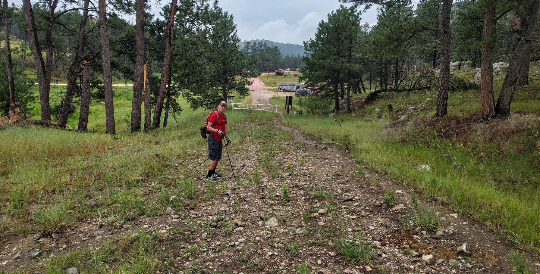
Almost there.
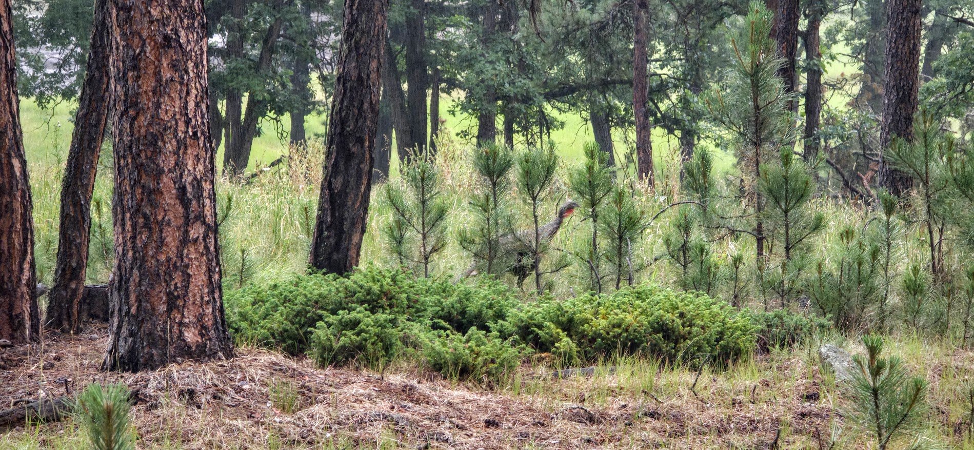
Saw a family of turkeys near the end.