

Centennial Trail - Rapid Creek to Deer Creek

Beginning of the hike.
What you need to know:
Length - The map says 5 Miles but because of some trail rerouting, it is now 6.0 plus another .25 spur to the TrailheaD. This section of the trail was retracked in 2025 to include the reroute around the HWY 385 area.
Water - rapid creek and pactola reservoir are dependable water sources.
Water crossings - none
Camping - There is a campground at pactola, but it’s on the other side of the lake and would be a hike of several miles to get to it, otherwise Black Hills National Forest Camping rules apply. Setting up your own campsite away from developed fee sites is allowed on most of the Forest for a maximum of 14 days in any 60-day period. However, around developed reservoirs and campgrounds, camping is allowed only in designated areas. General rule: Camp 100 feet away from any road, stream, or trail and 1/2 mile away from developed sites
Trail condition - pretty easy to follow and in good shape
Notes - nice views of pactola. the rapid creek trailhead has an outhouse. to get to the deer creek trail head you need to take a .25 mile side trail.

Hike starts below Pactola Dam.

Lots of pretty wildflowers.

First view of Pactola Lake.

New view in front of us.
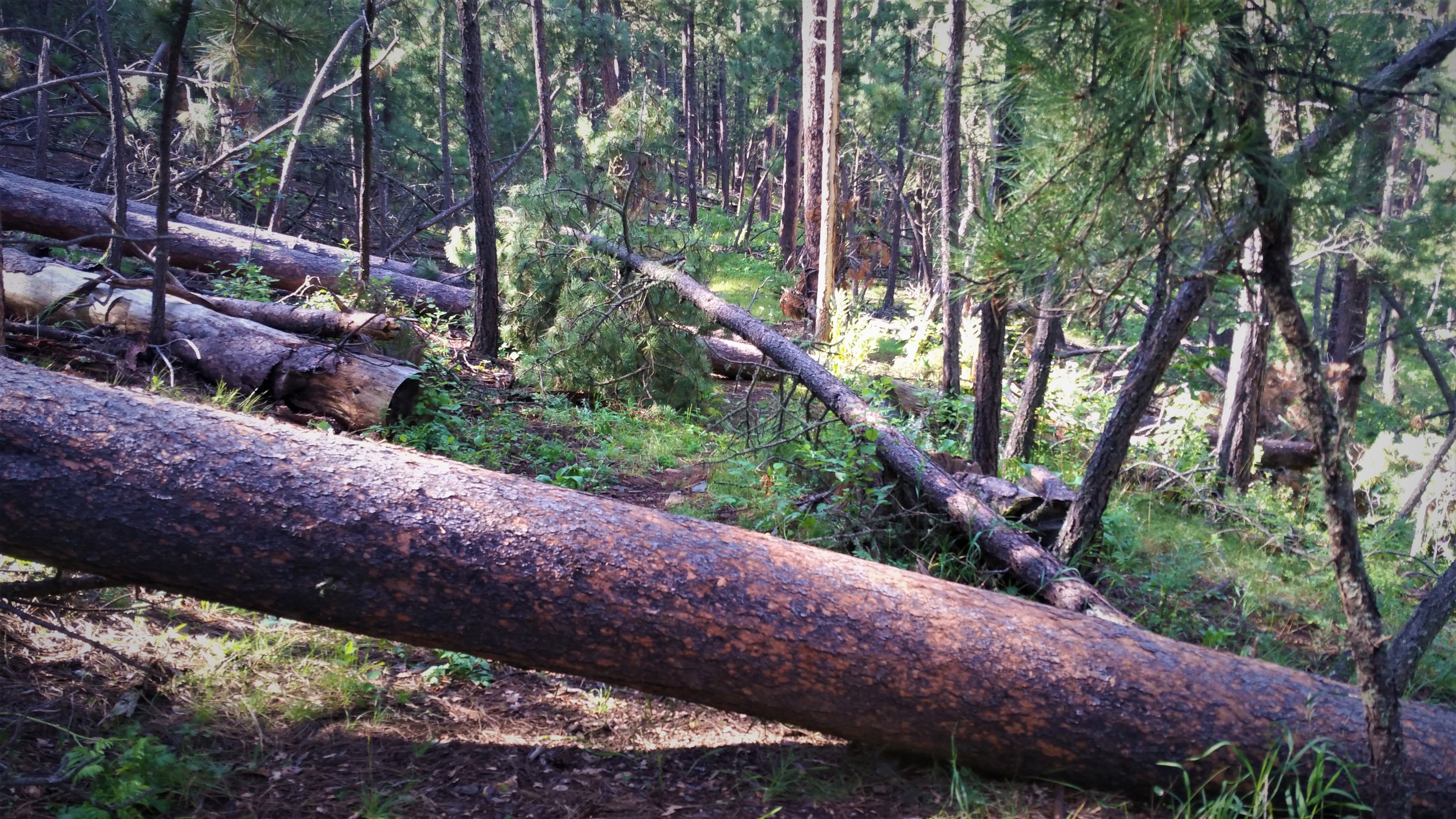
Some down trees.

Crossing Highway 385.

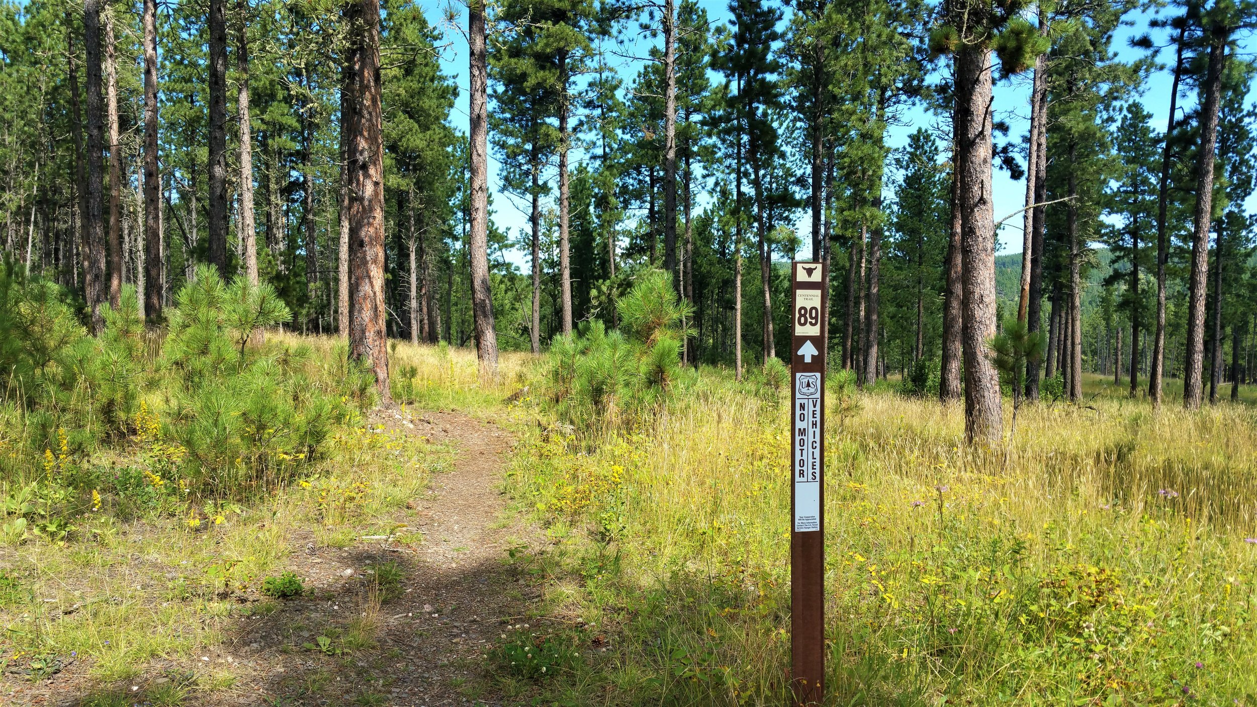
Some parts of the trail marked pretty good.

Crossing the bridge near the beginning.

Begin to climb some below the dam.
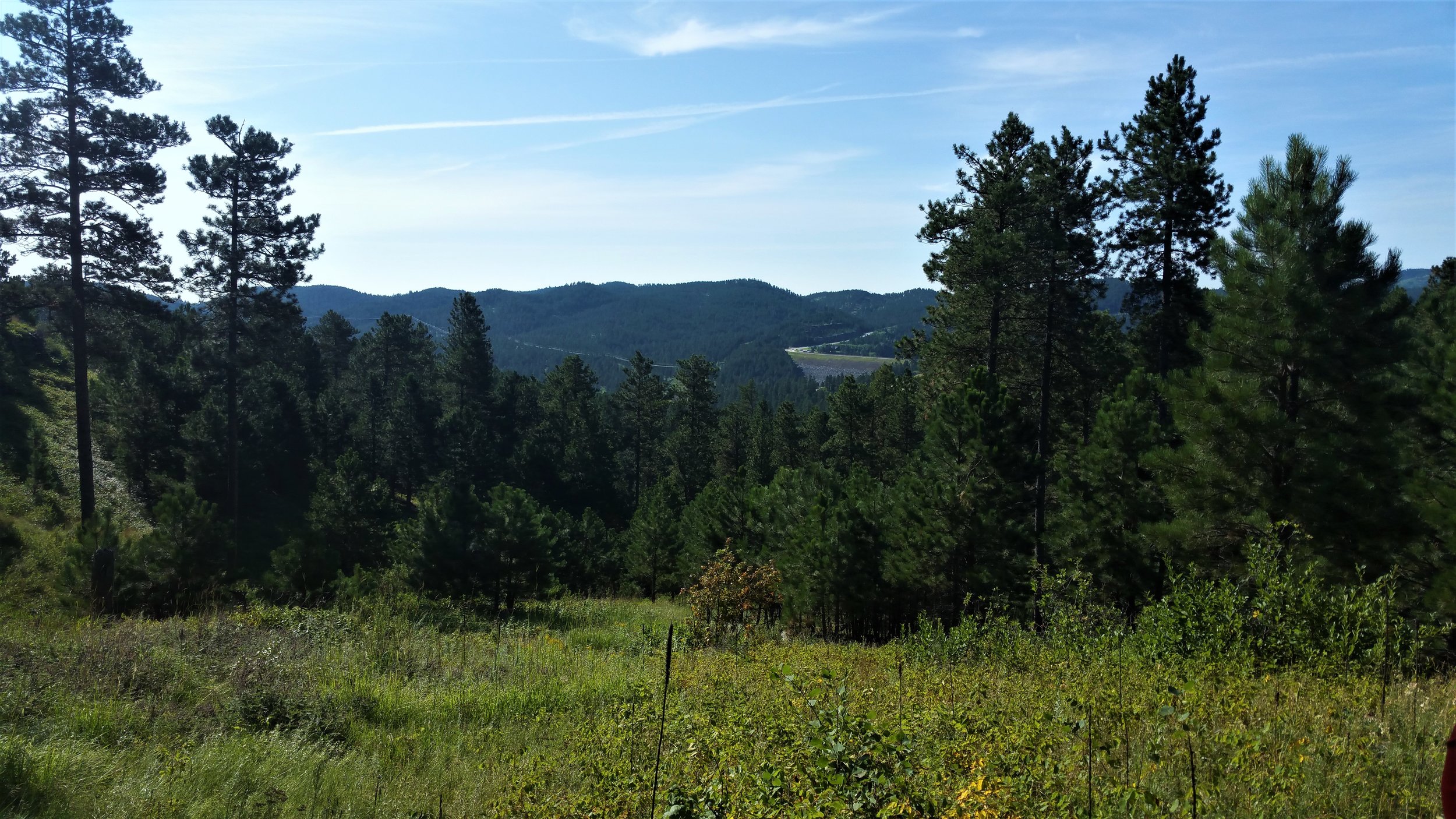
View behind us.

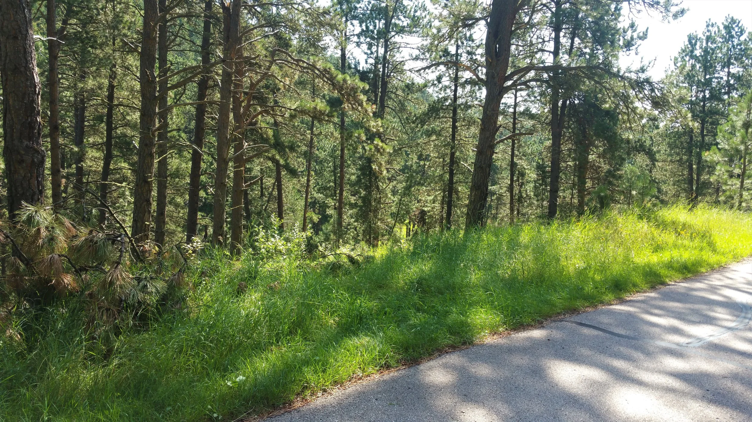
Entering the forest again.


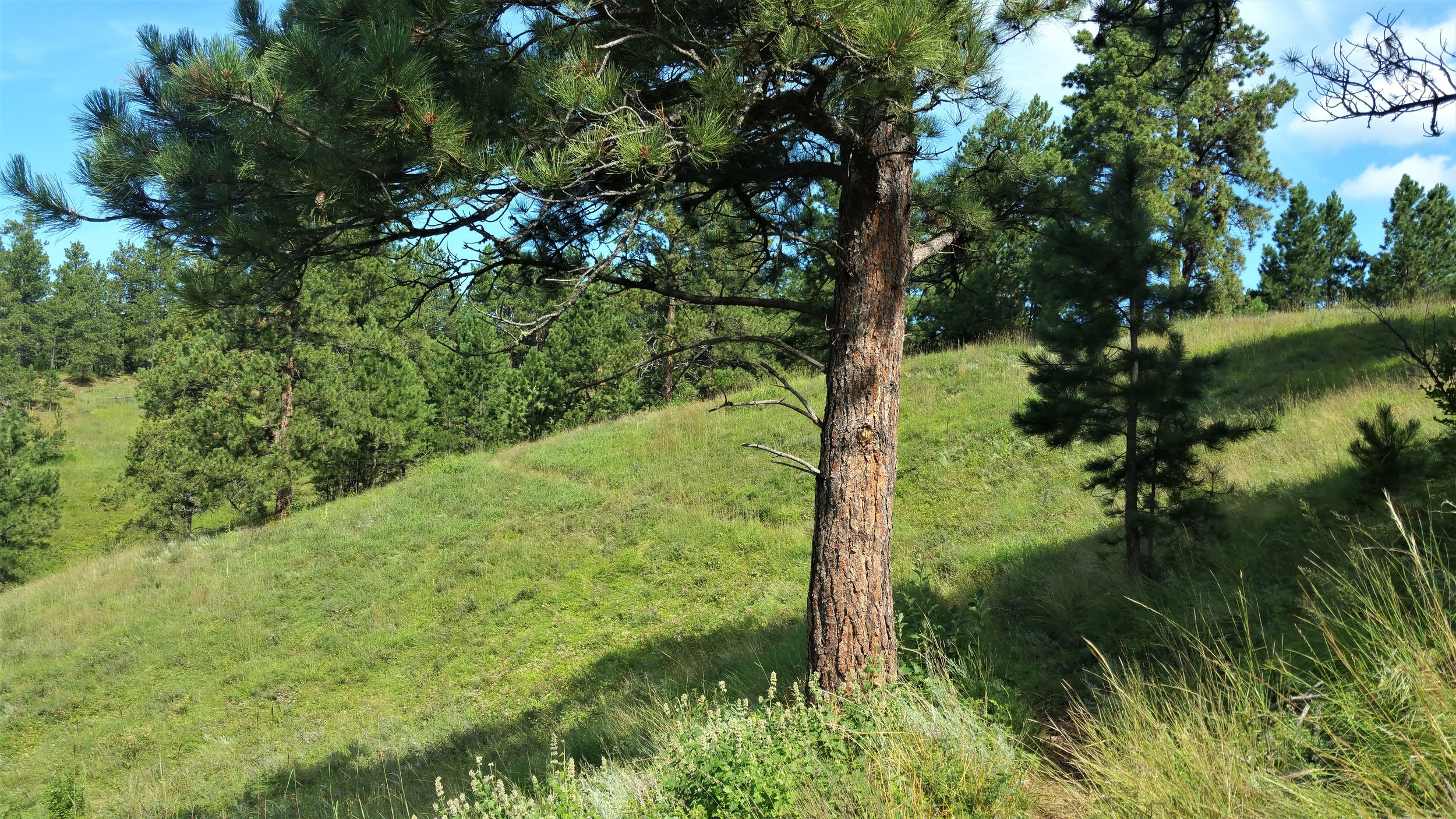
Trail is to the right through the wildflowers - not marked so well.

More obstacles.

Pretty view of the lake and the boats.

Subject in the lake scuba diving.

Nice spot for a break.

Crossing the road that leads to the North Pactola Ramp area - The other side of the road is marked with a 89 sign and easy to spot trail.
Looking back across the road. There are no signs of where to hike and the trial is not really obvious. The trail starts across the road a little to the right.

Nice and easy hike following the lake for a bit.
After a long hike up a dirt road, turn towards the woods again.

Would be gorgeous in the fall with all these trees.
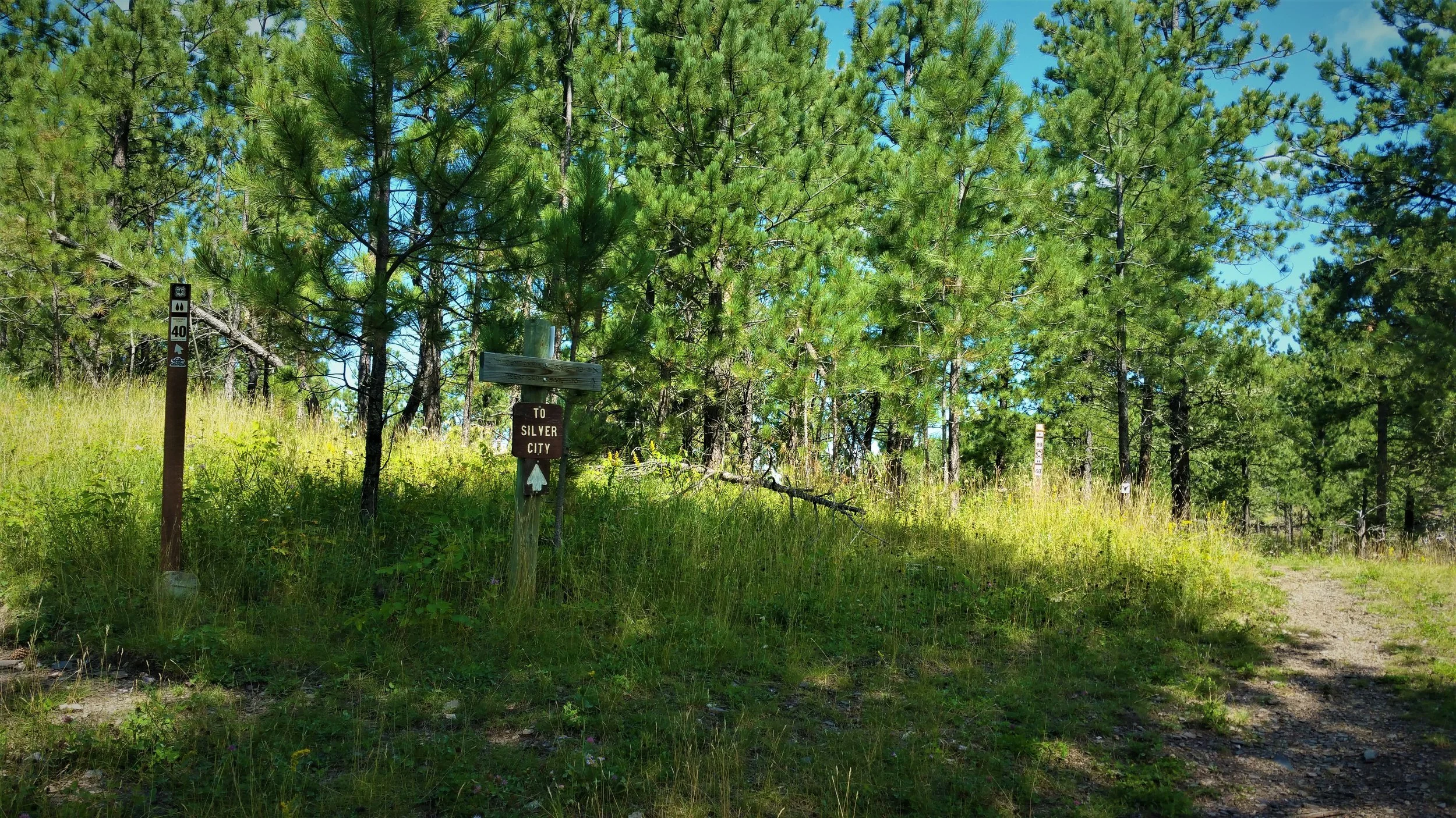
Breaks off here to Trail 40 to Silver City to the left and 89 - Centennial Trail to the right.

Crossing Silver City Road.

Following the side trail to the Deer Creek Trailhead. Can see Silver City Road in the background.
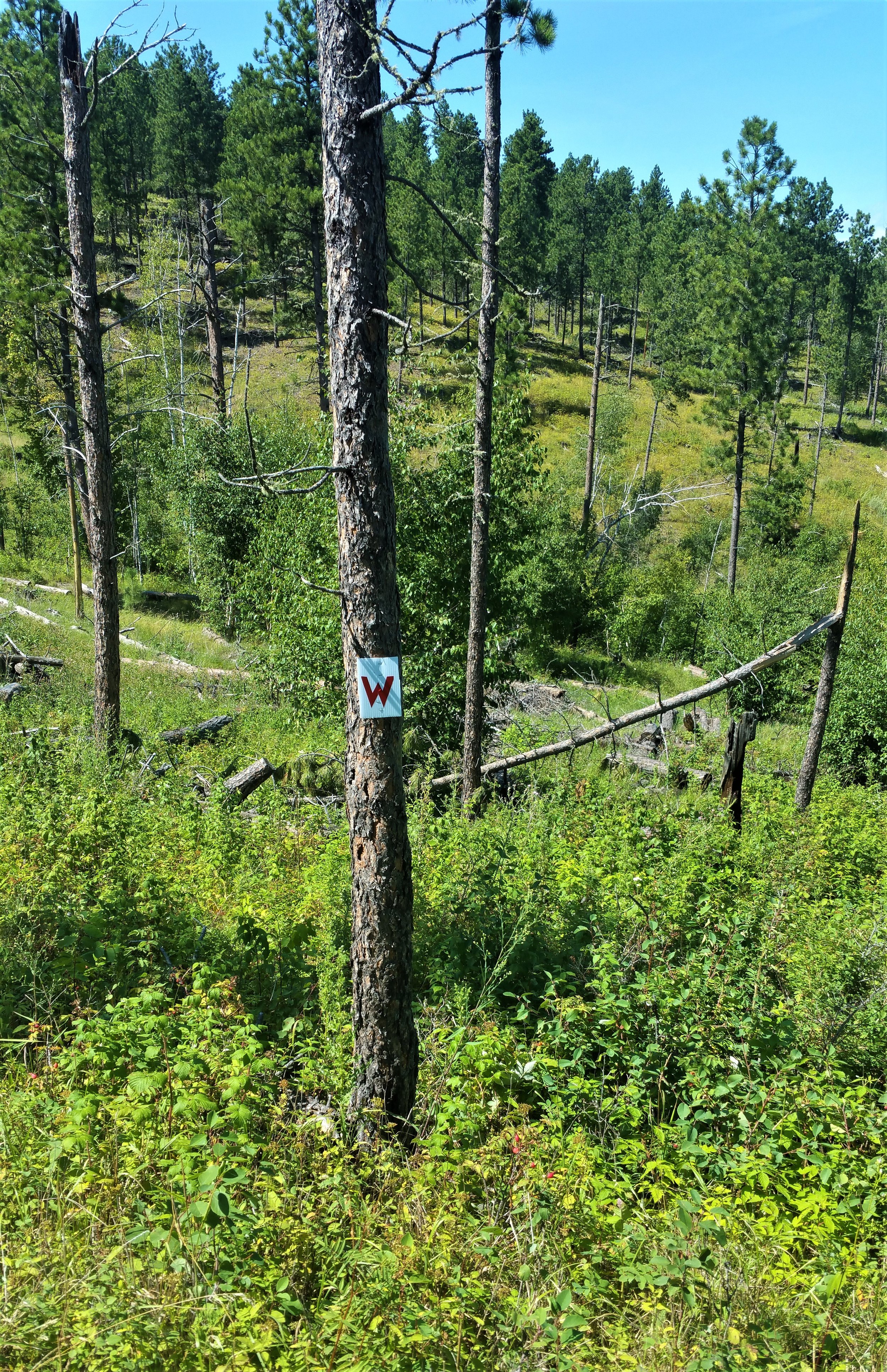
To get to the Deer Creek Trailhead, take this side trail with the W on it.
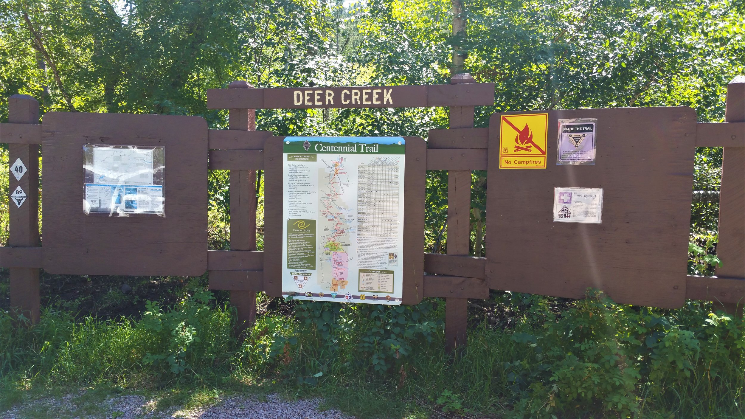
Made it.