
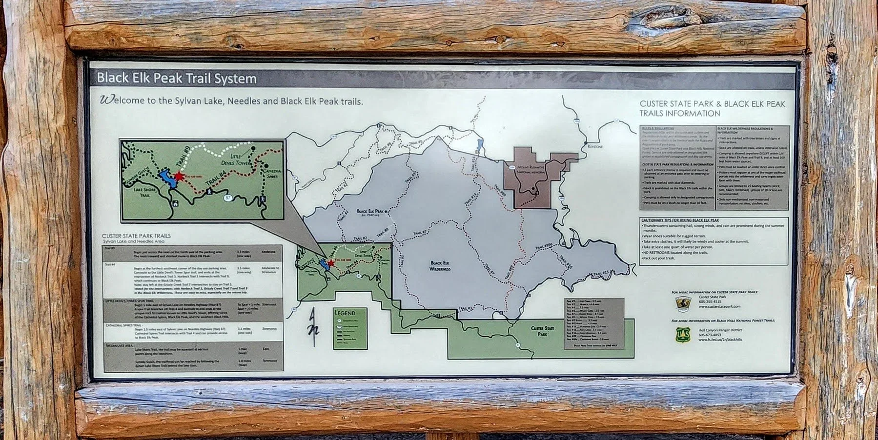
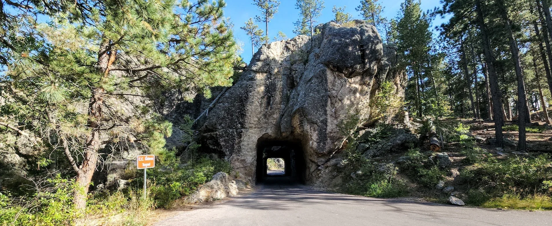
Highway 244 To Mount Rushmore
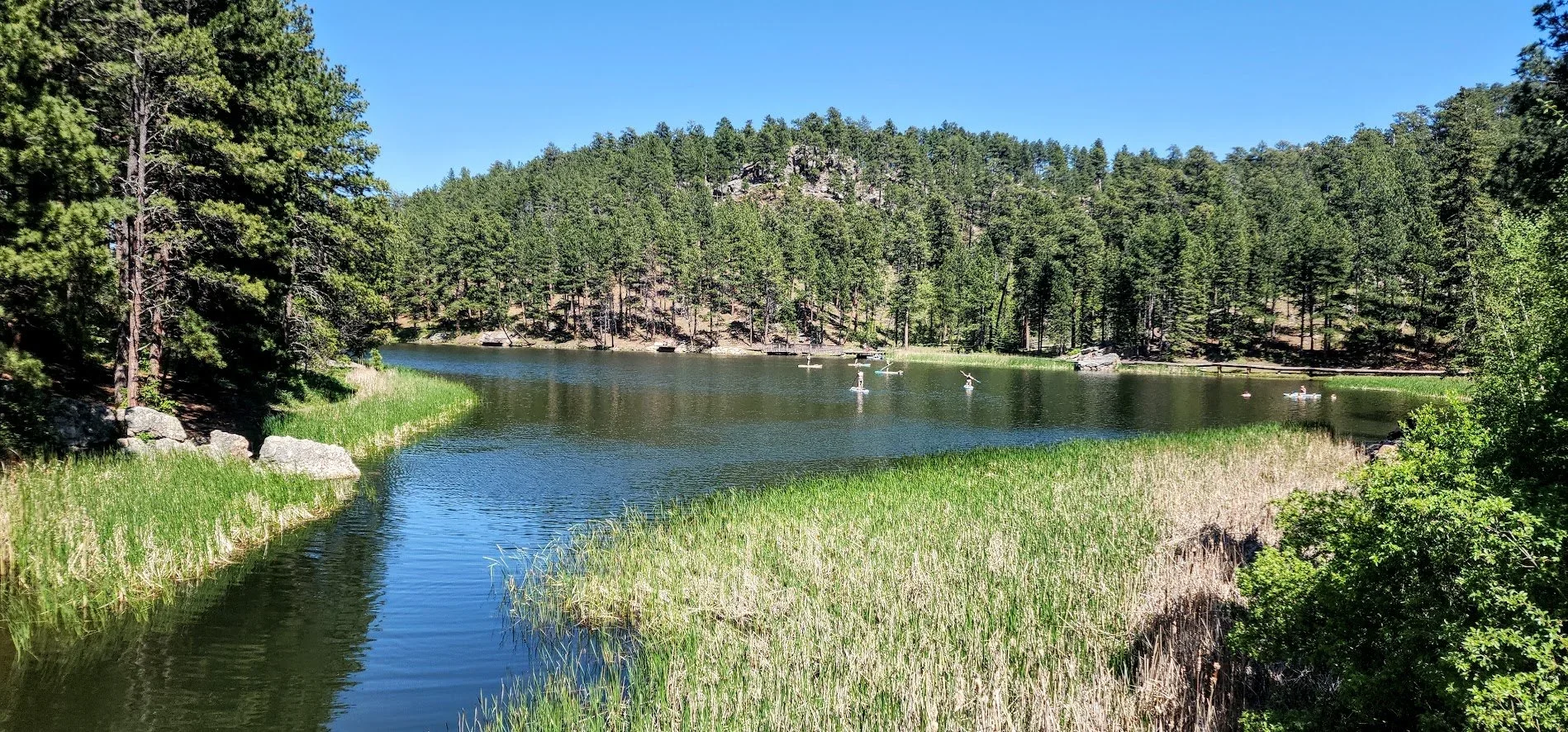
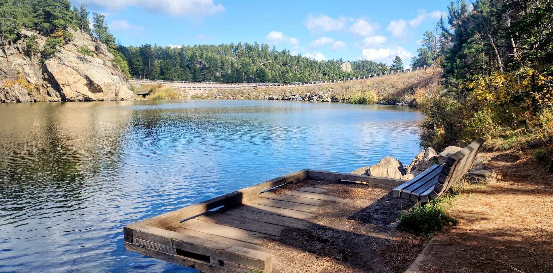
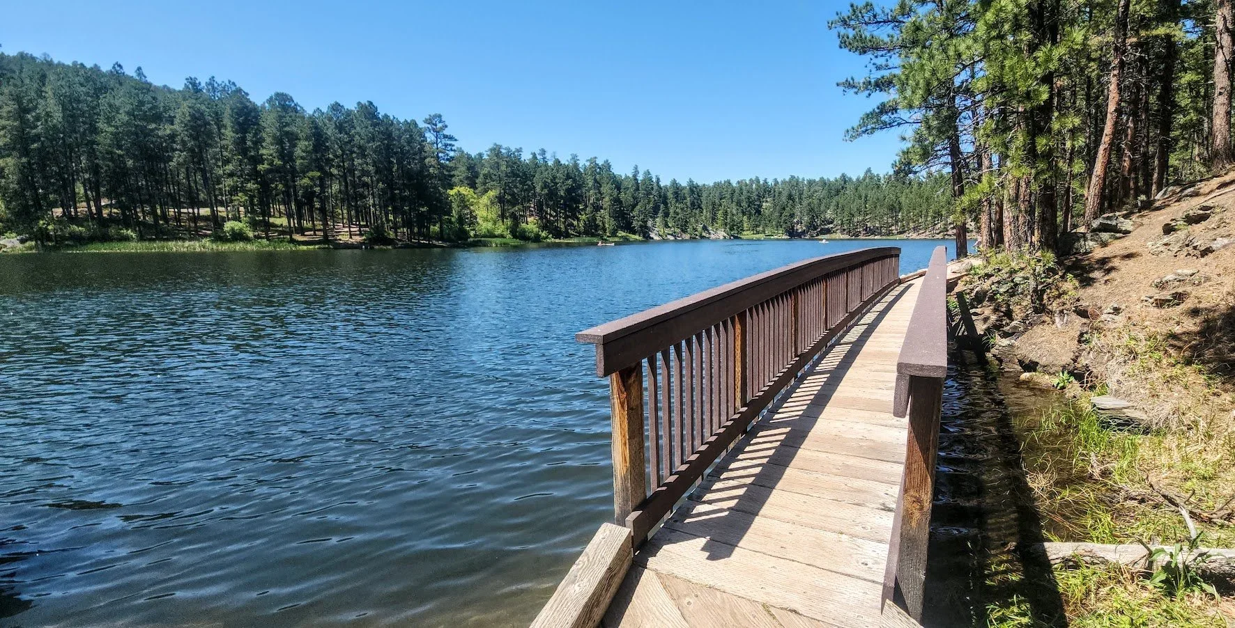
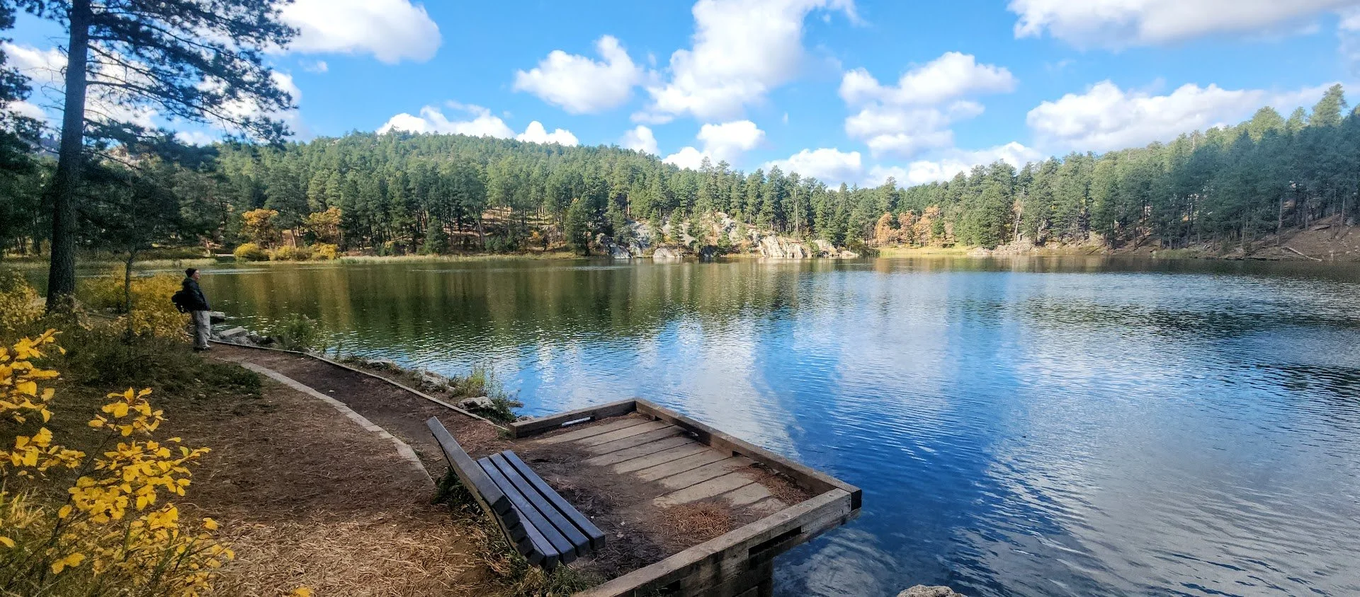
Highway 244 is a short highway that runs between Highway16/385 and Highway 16A. The road starts between the towns of Hill City and Custer and ends up in Keystone or vice versa. There is so much to see and do along the way. Most people just take the road to Mount Rushmore without exploring anything else. Here are some of the many things you can see and do when on this beautiful highway. The itinerary starts from the west and goes east and ends up in Keystone.
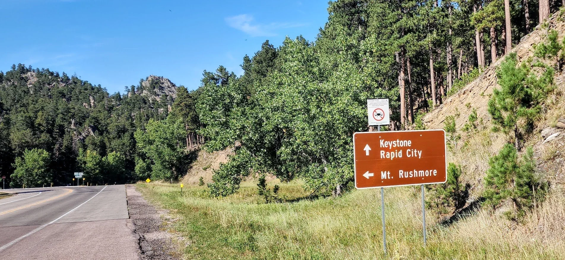
From Highway 16/385 coming either from the Hill City area or Custer area going to Keystone, South Dakota on Highway 244 or vice versa.

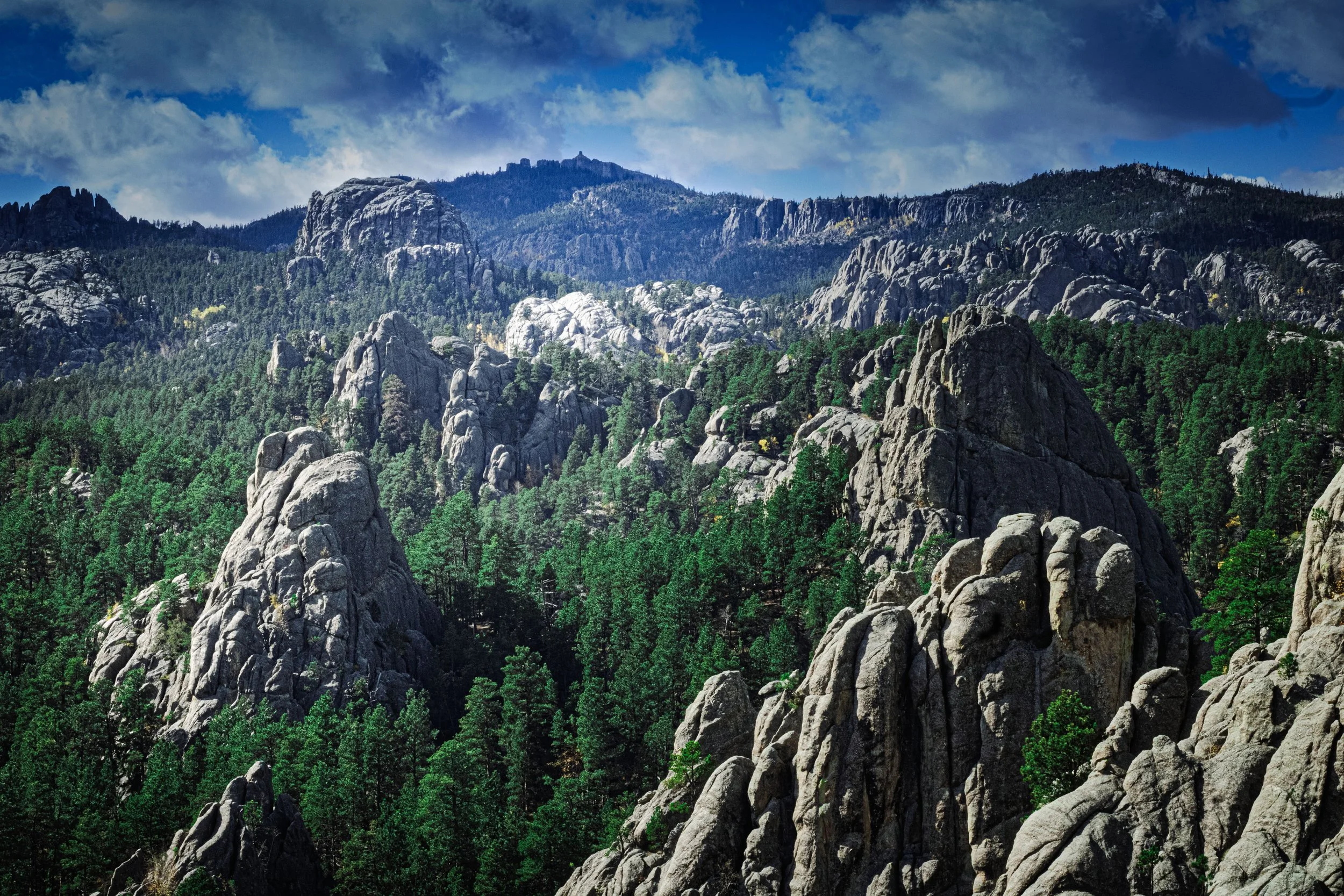
Can see Black Elk Peak in the distance.


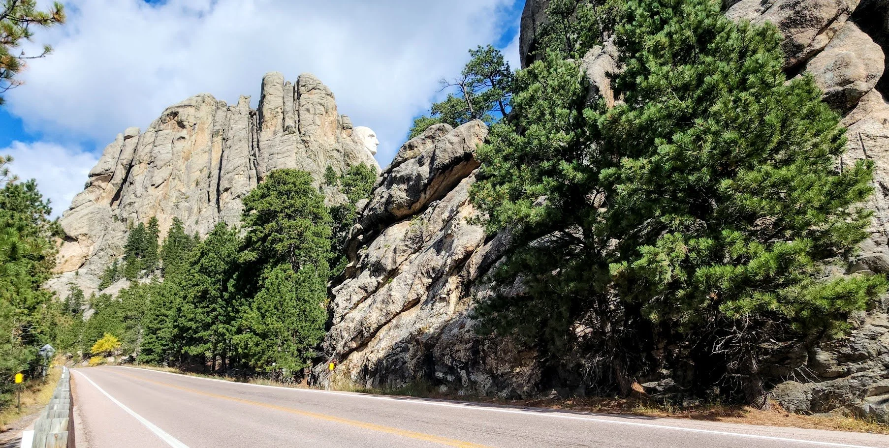
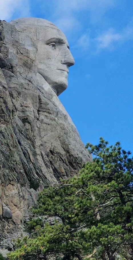
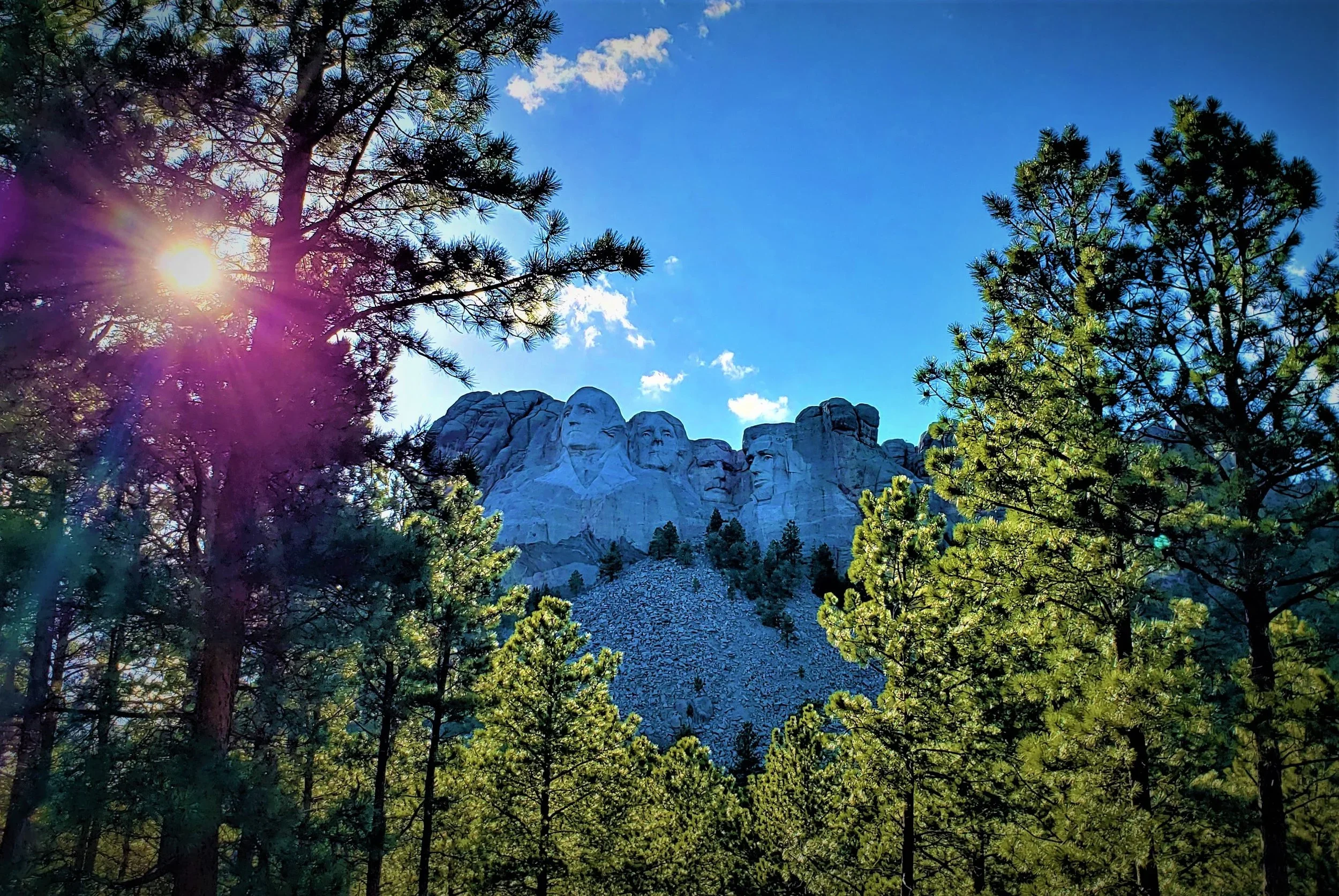
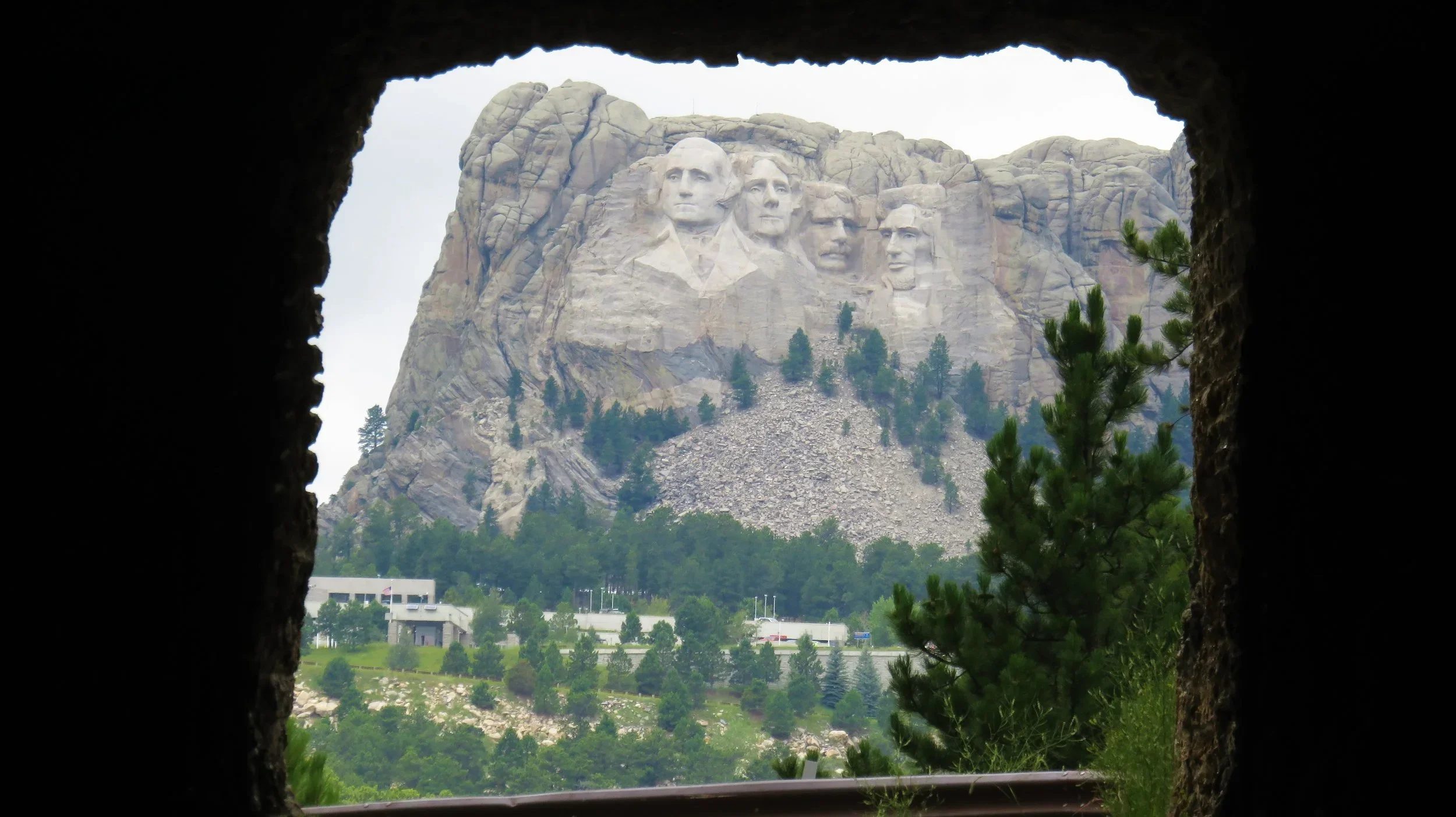
Can see George Washington’s profile from the road.
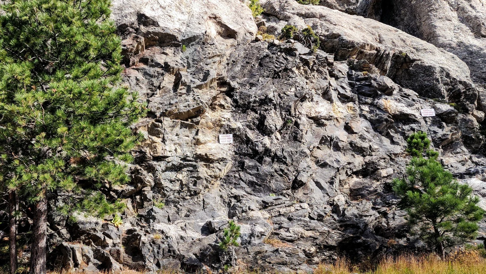
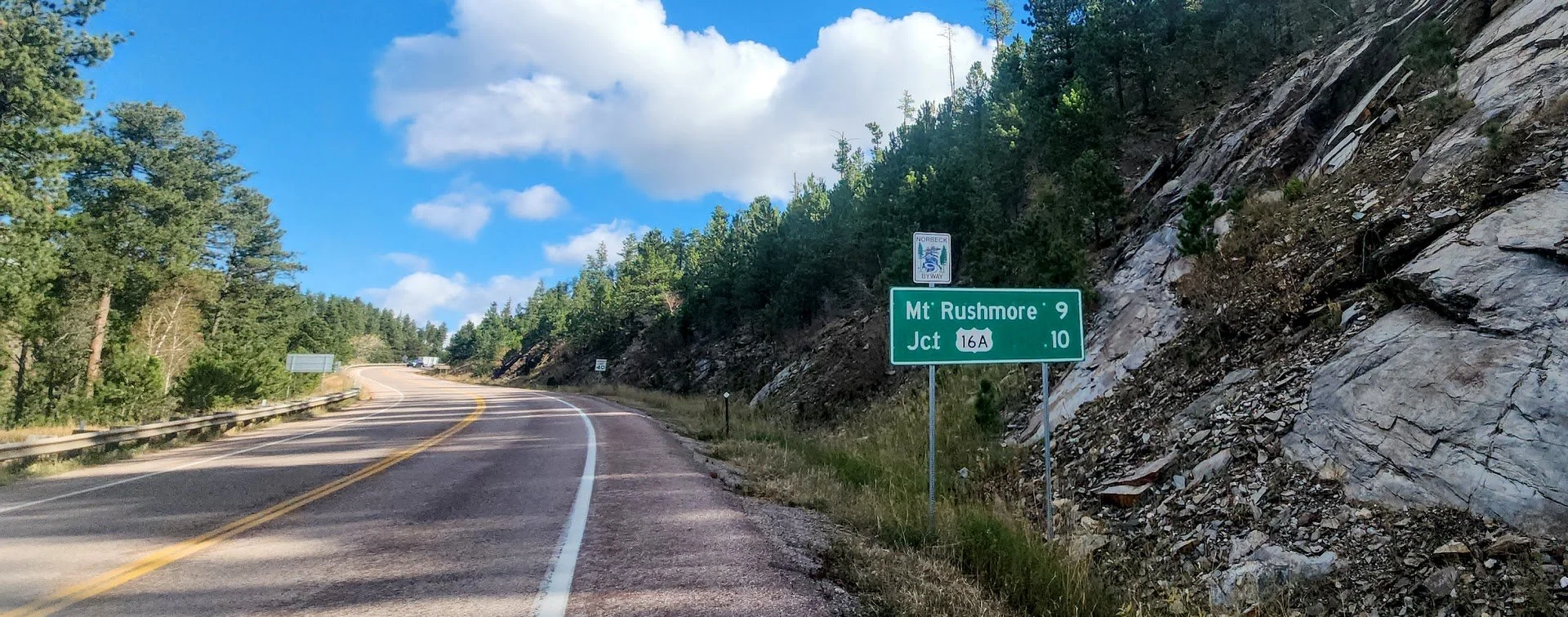
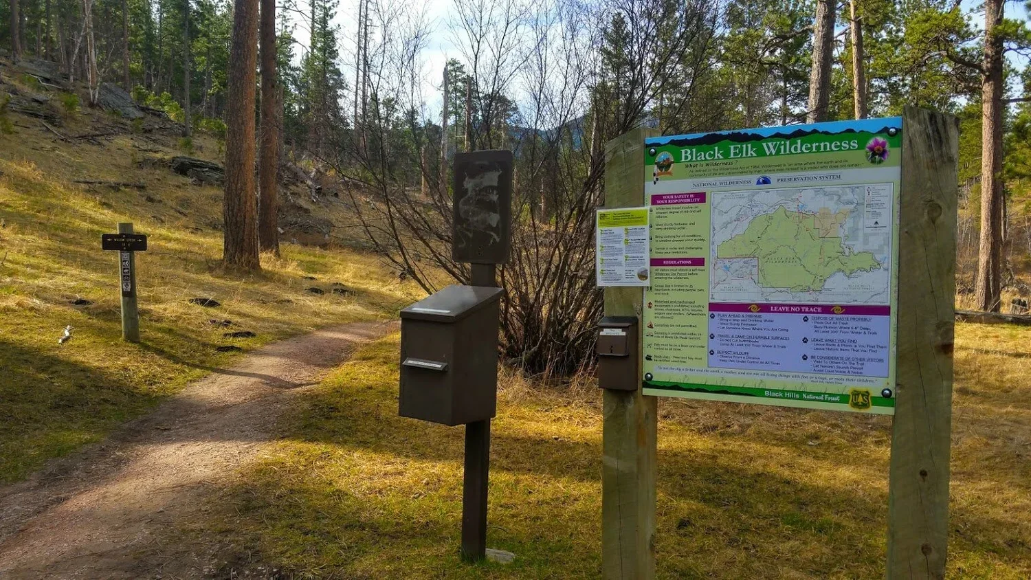
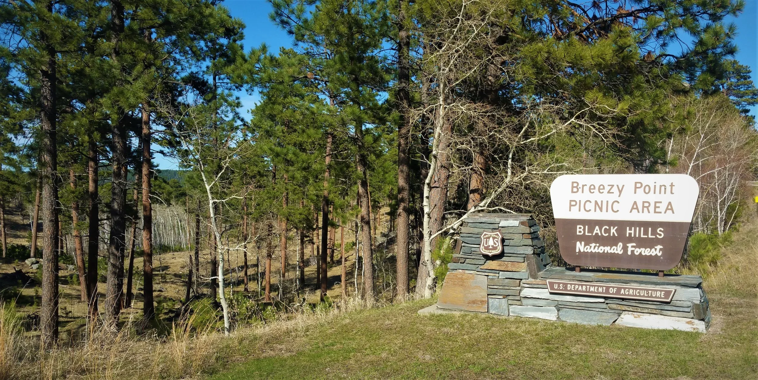
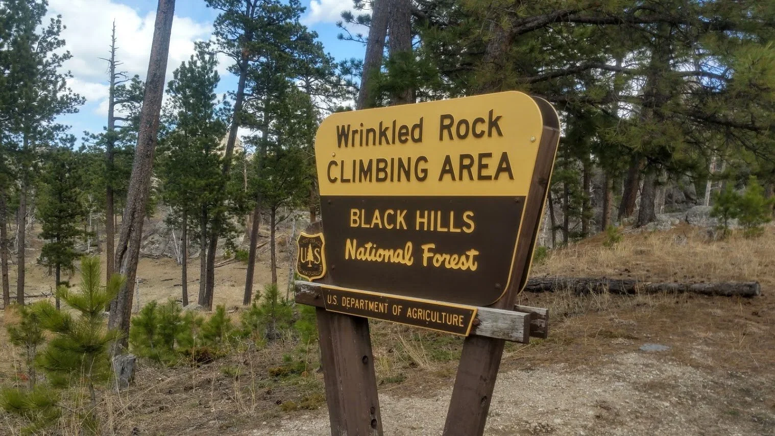
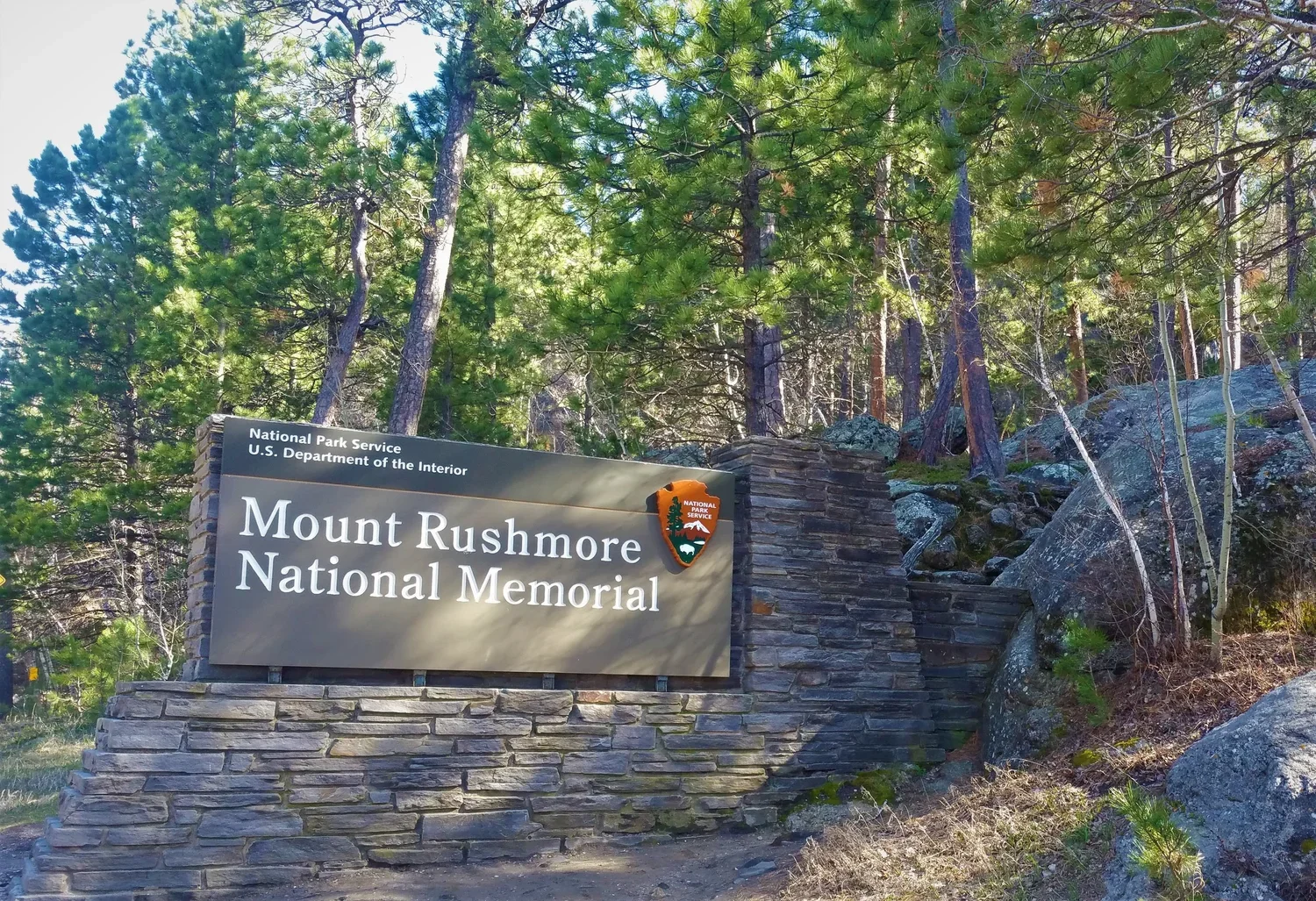
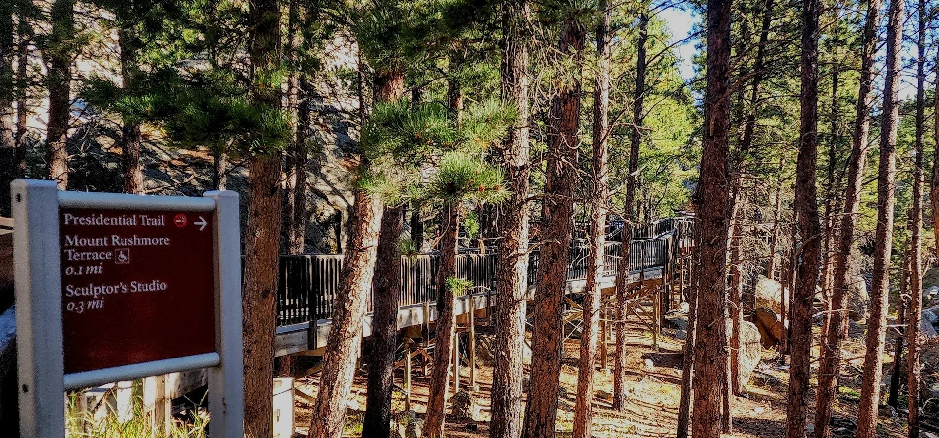
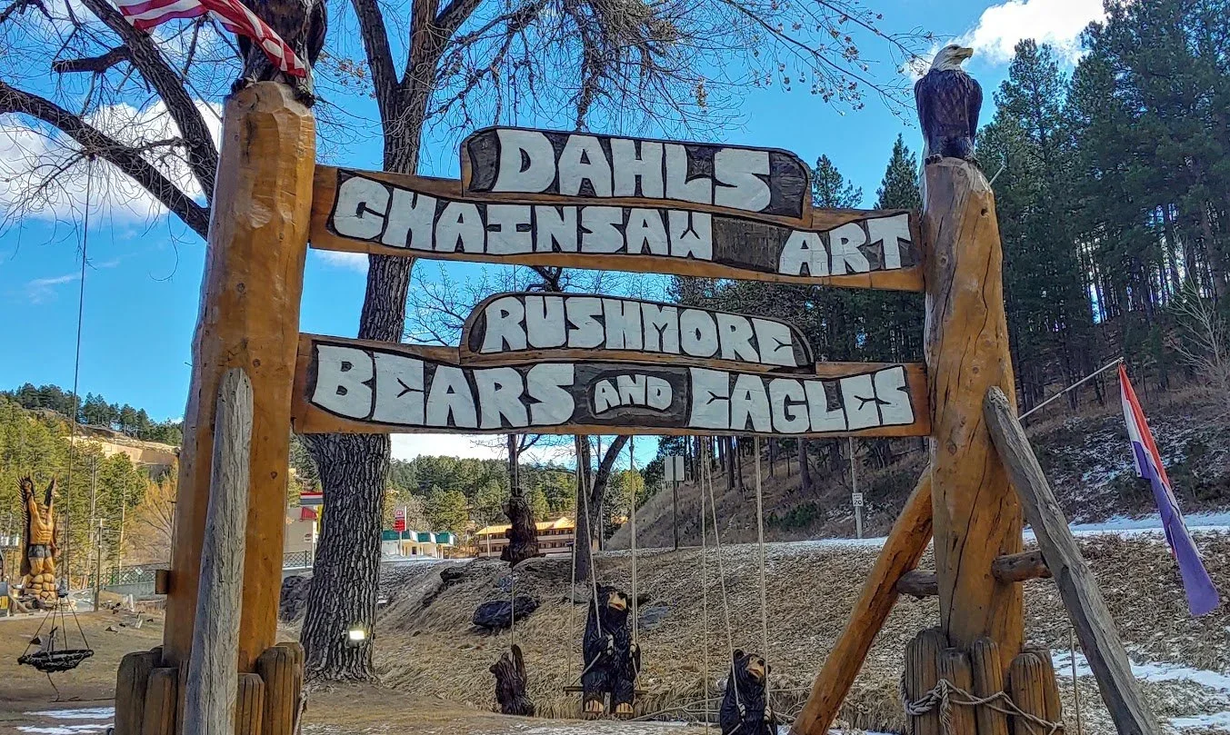
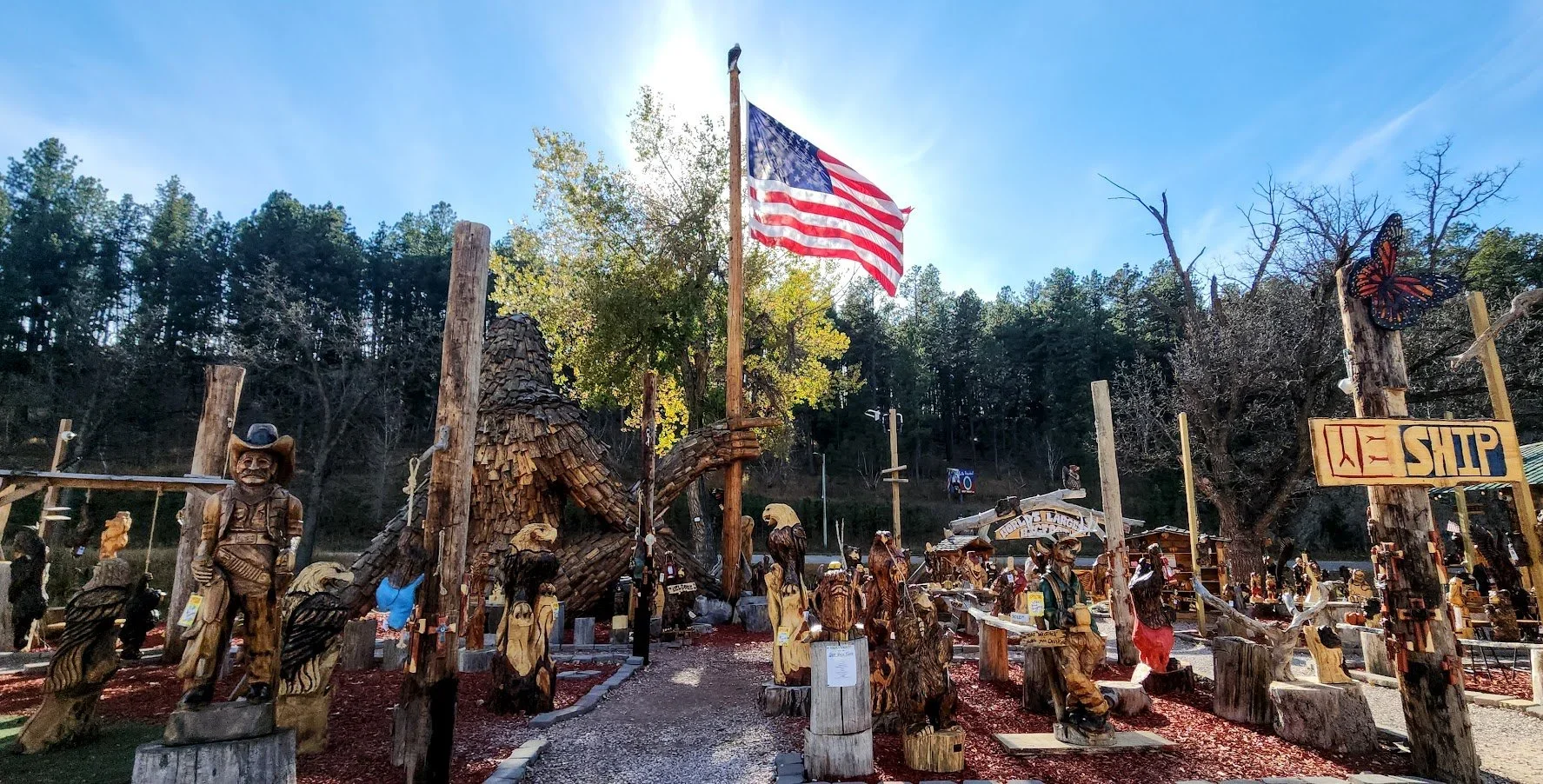
These signs are everywhere.
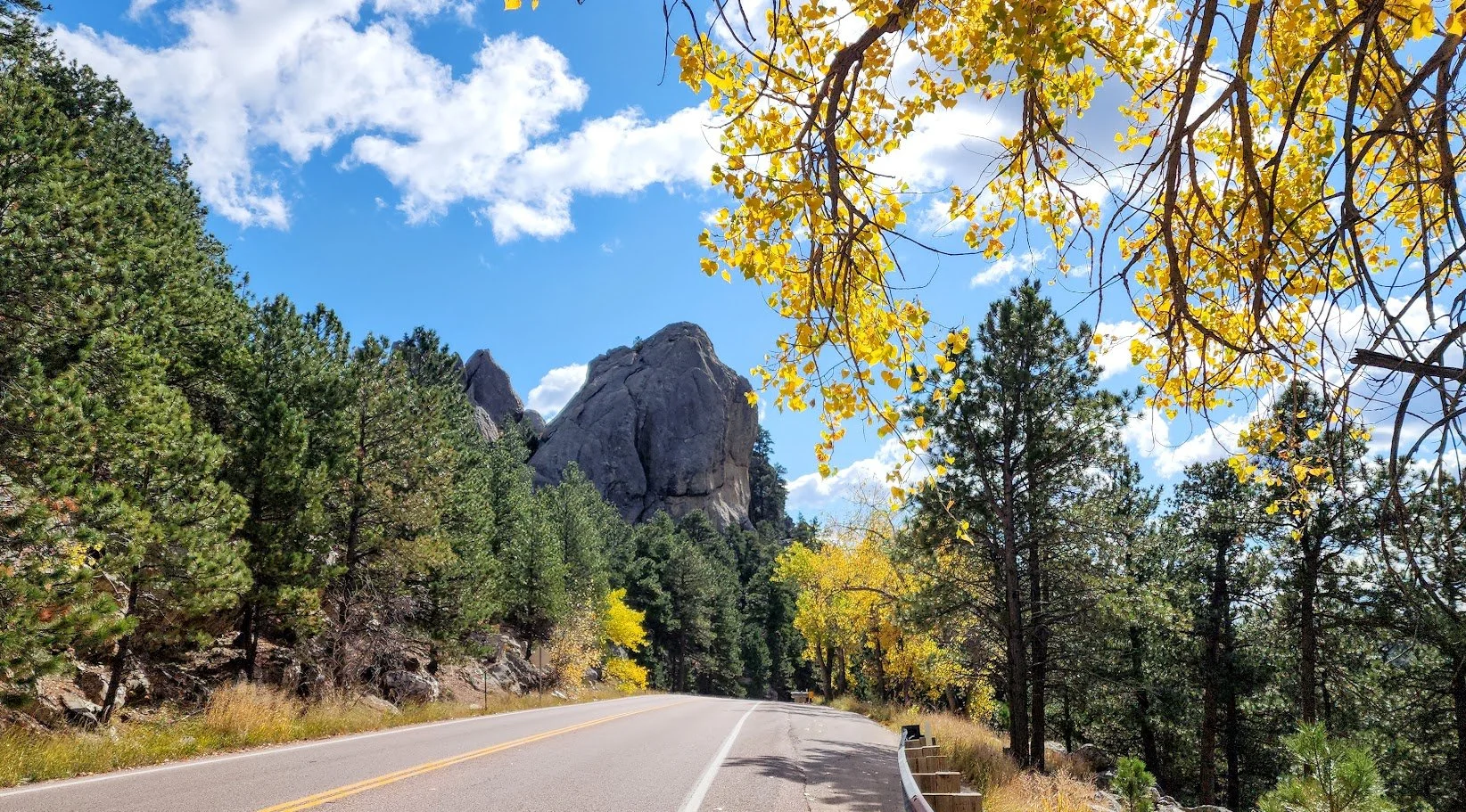

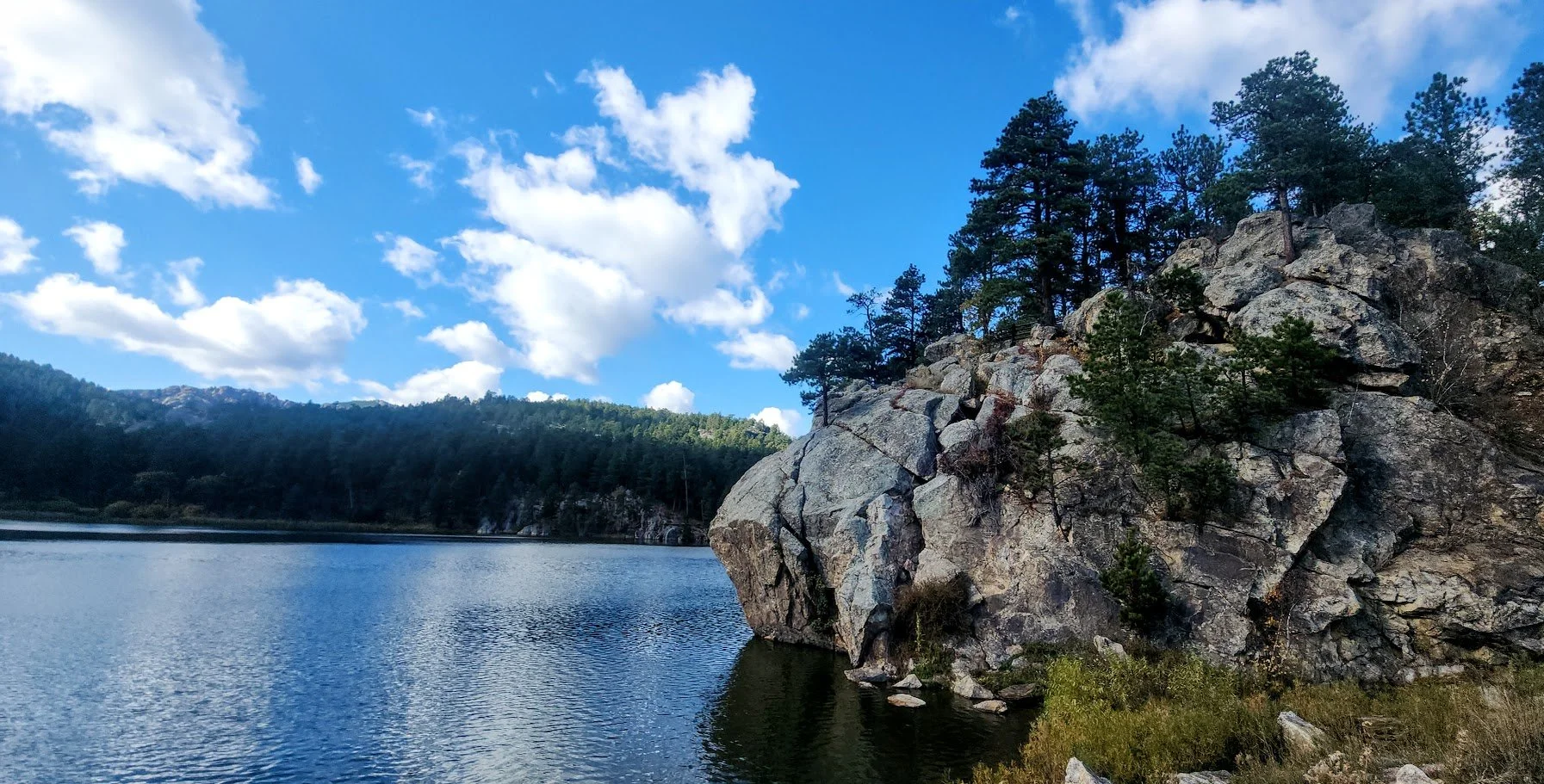
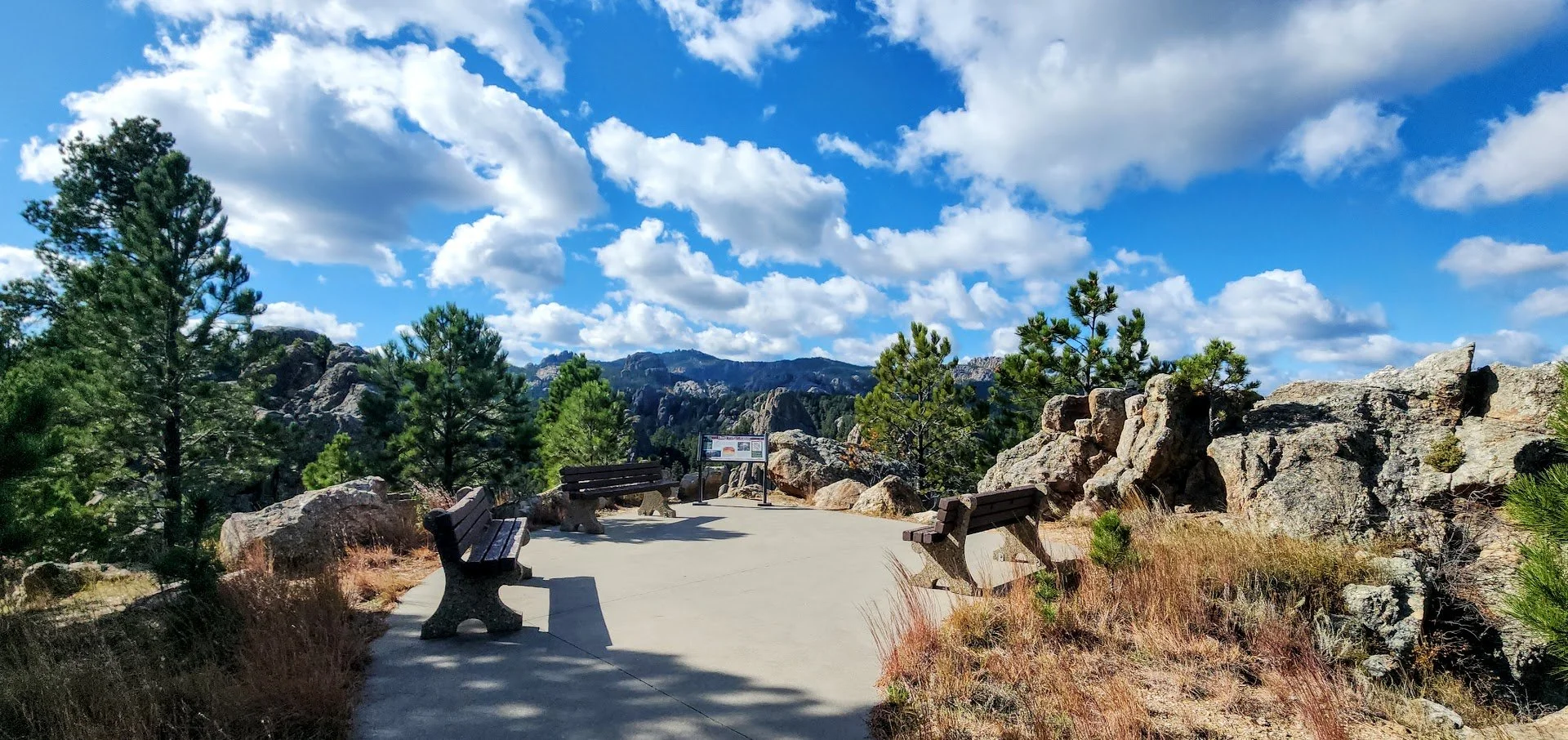
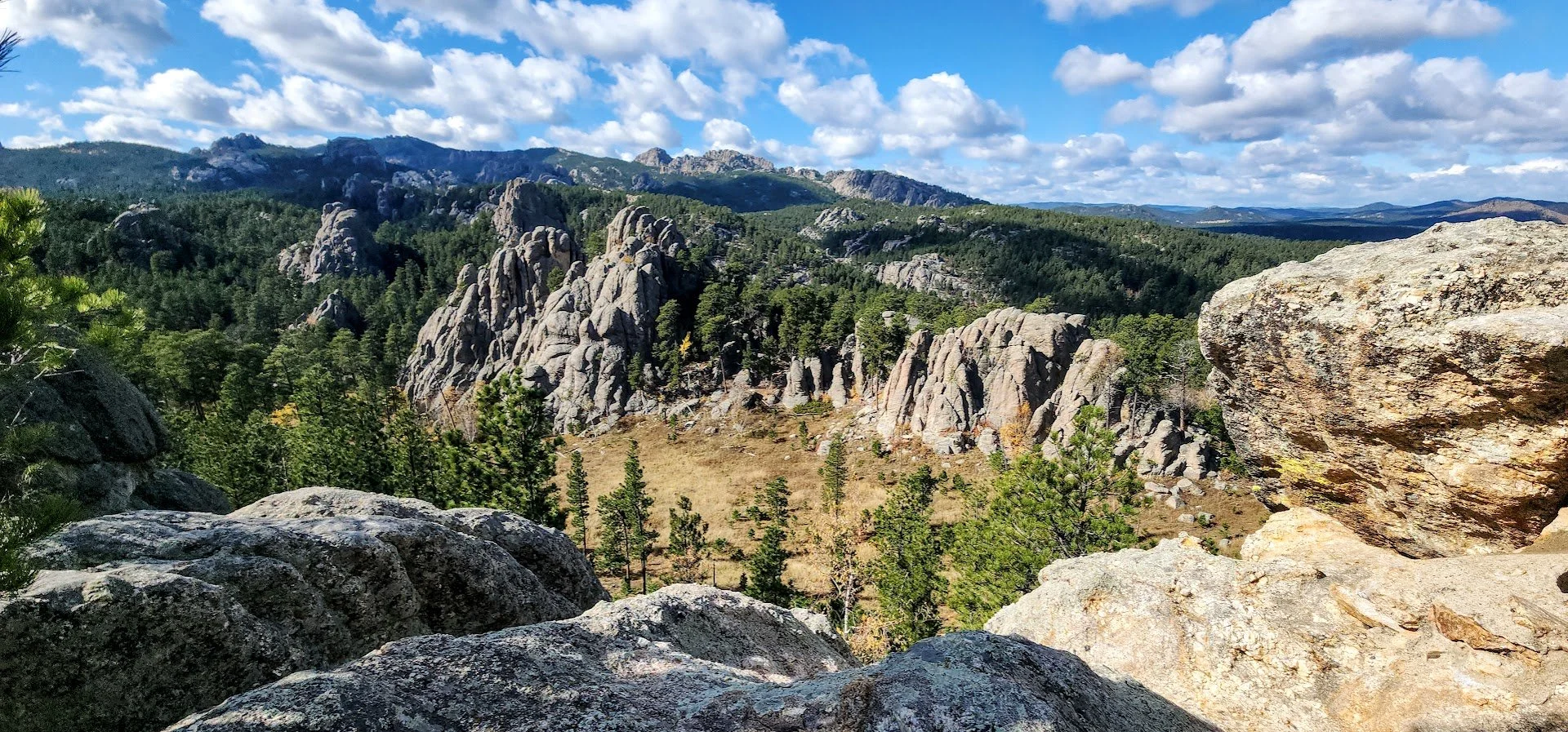
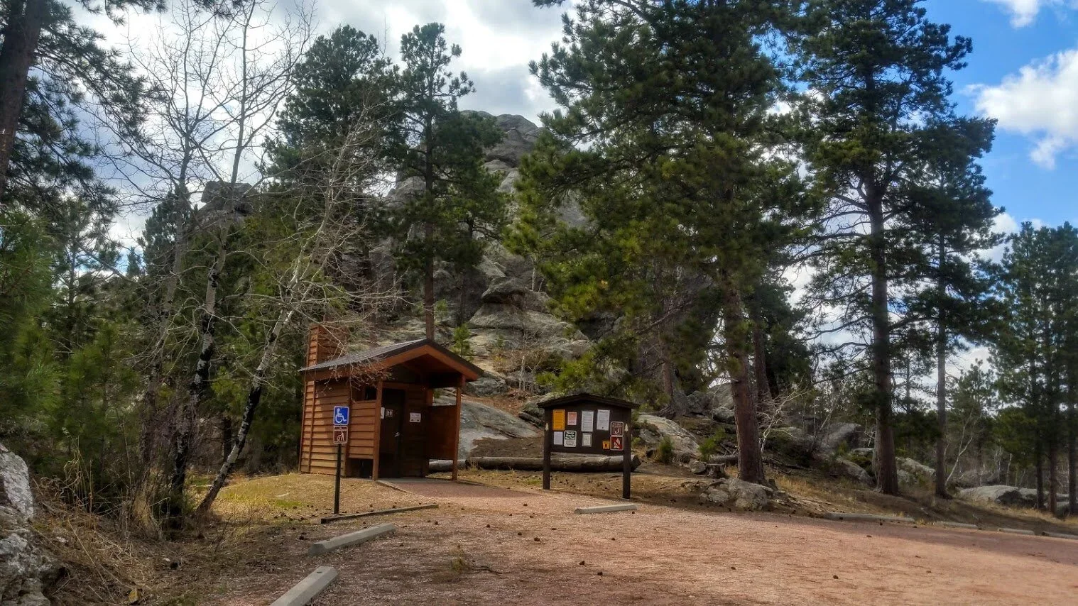
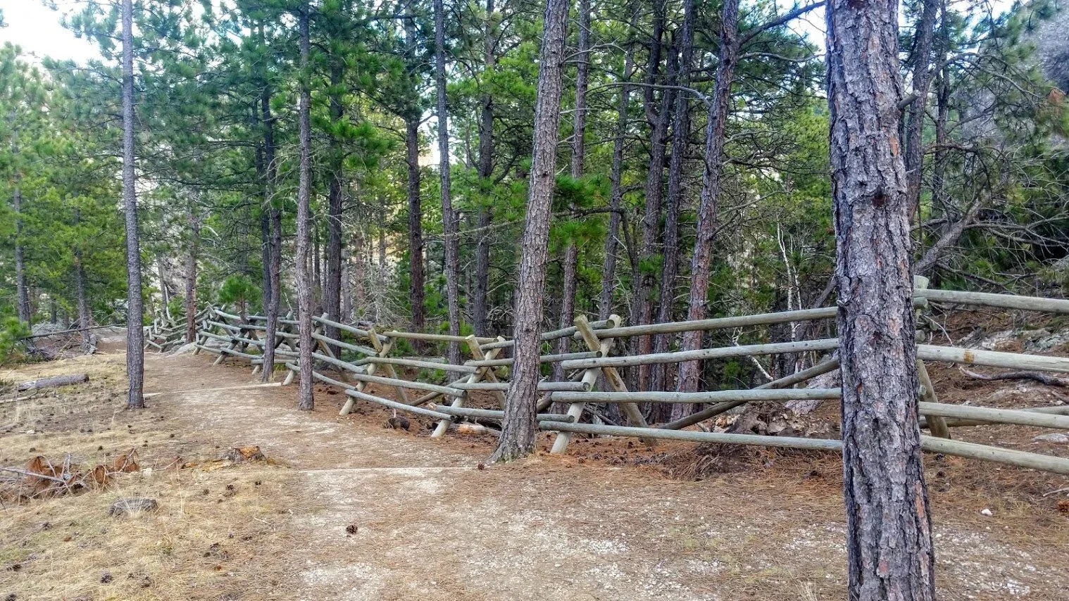
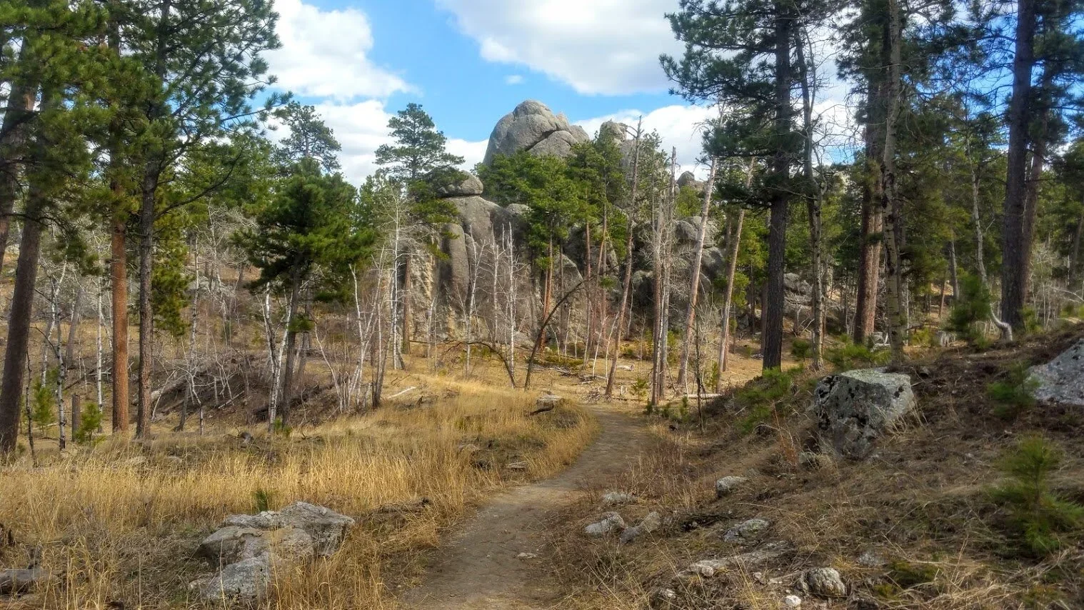
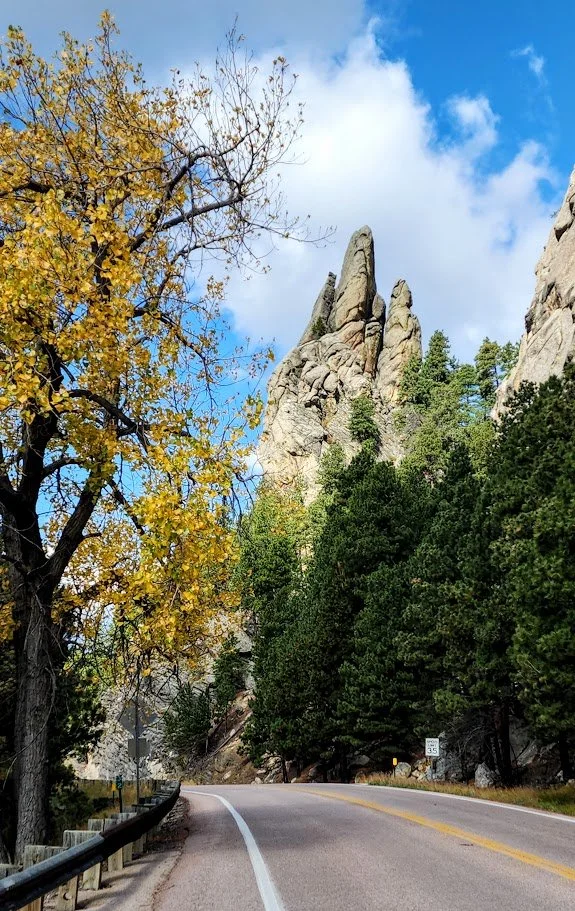
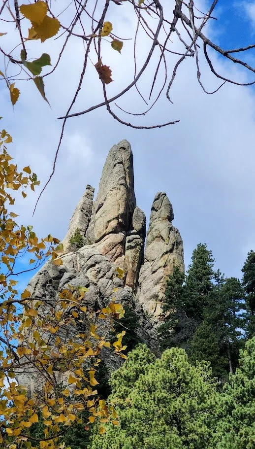
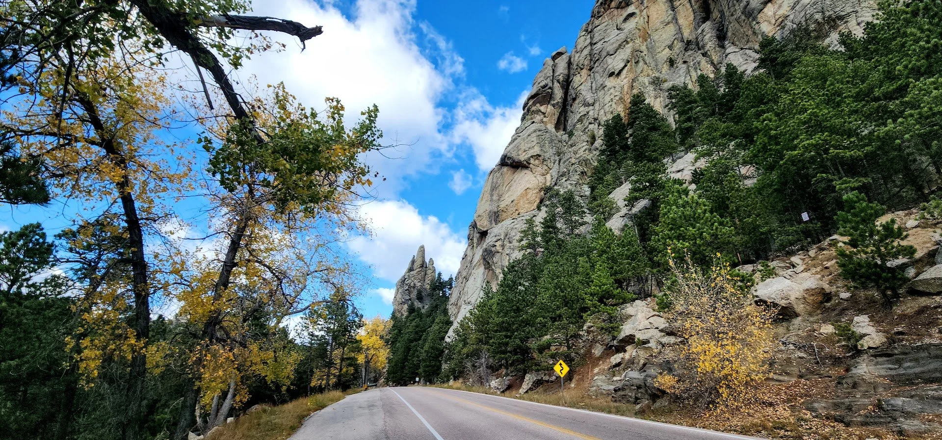
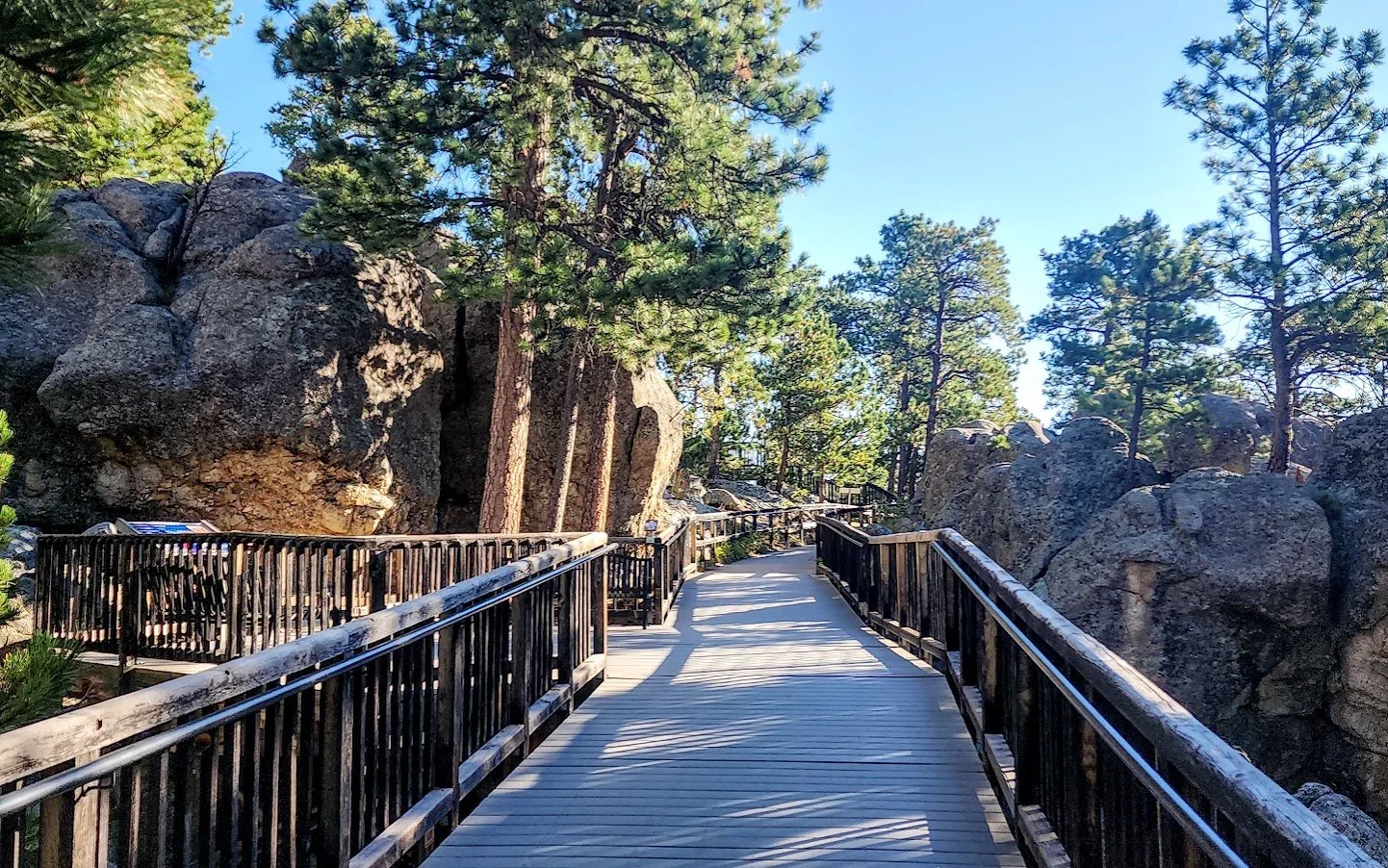
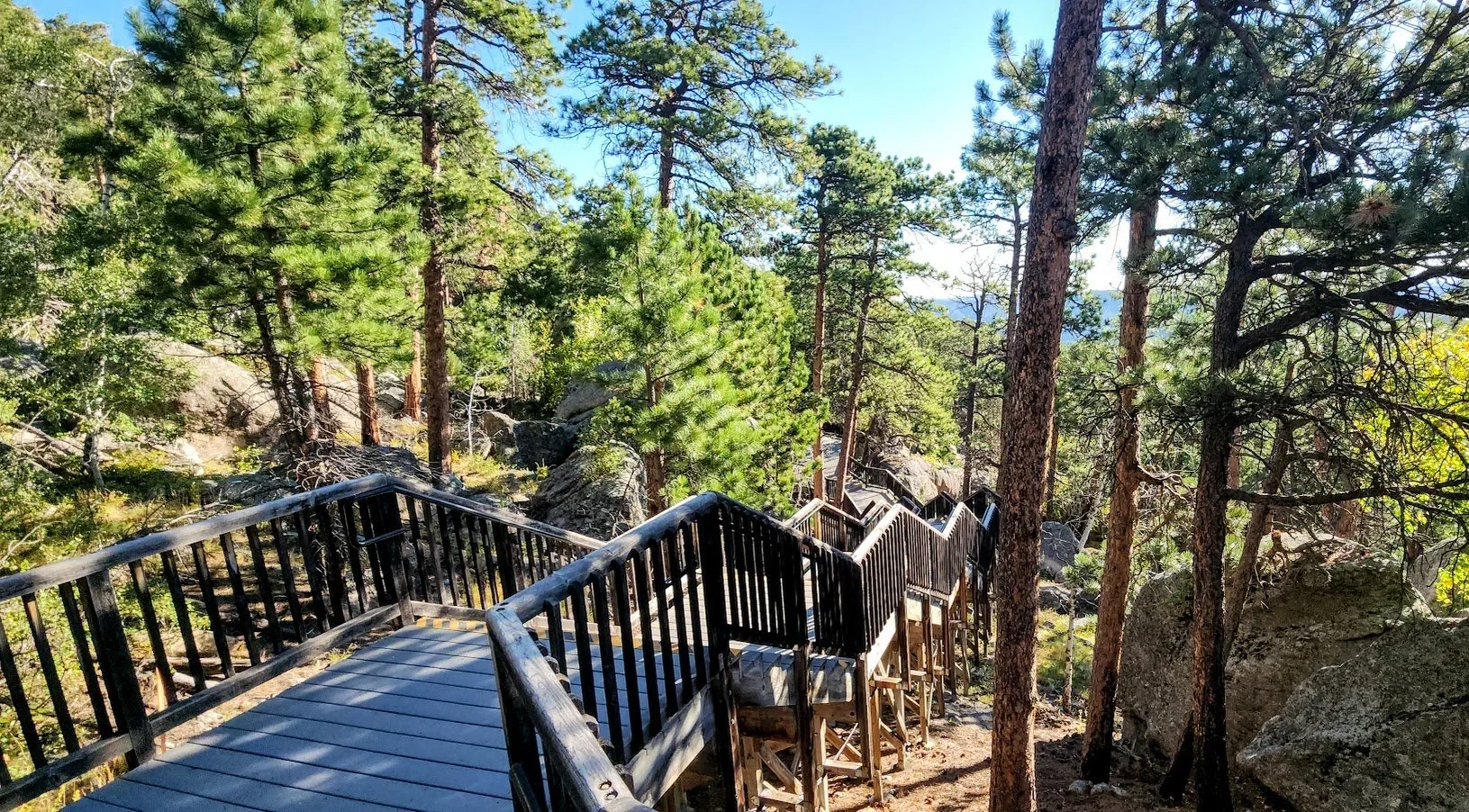
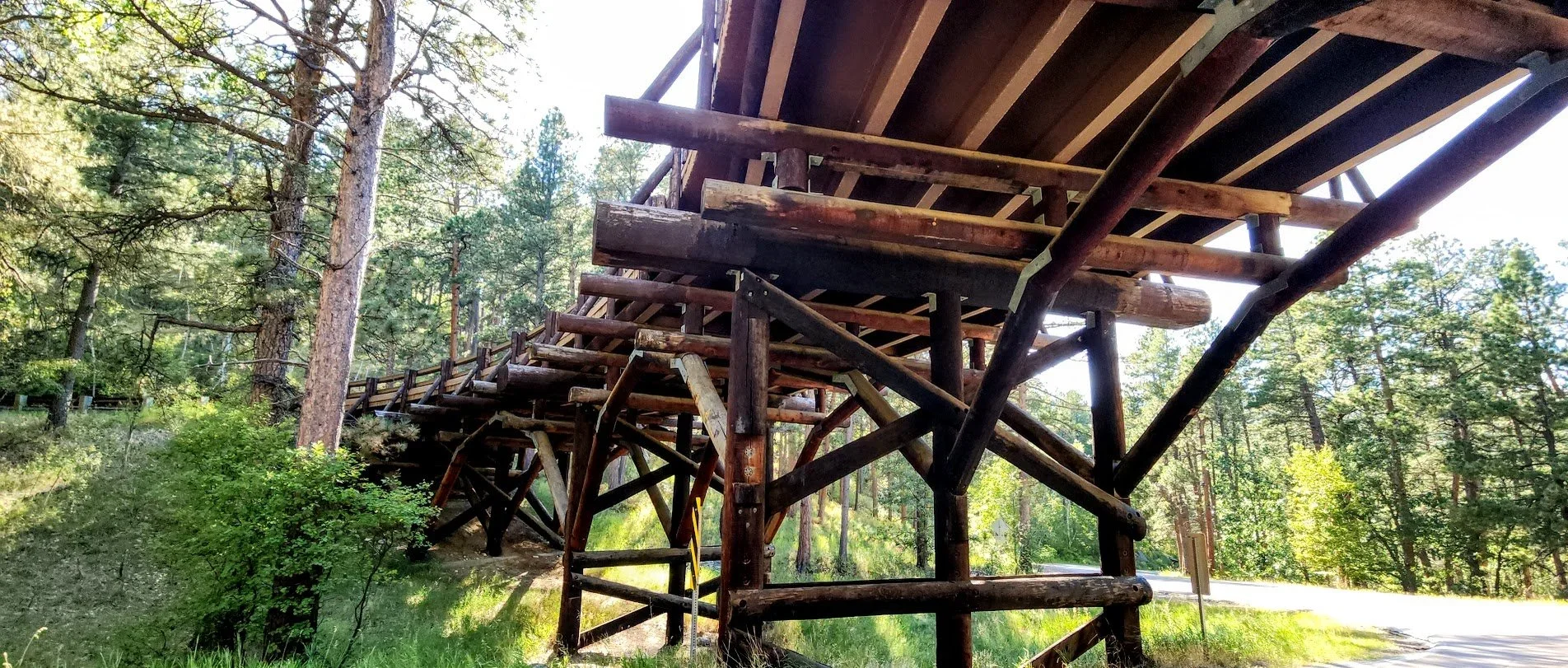
Beautiful rocks in the area.

Different lighting - always changing.

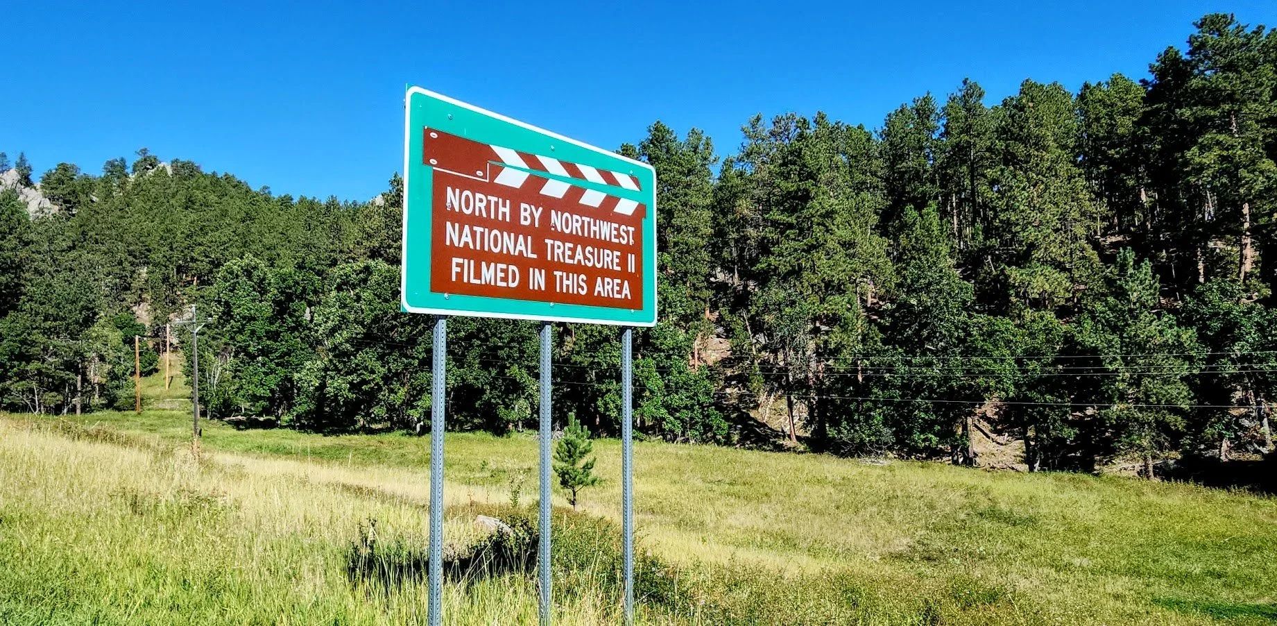
A couple of movies were filmed in this area.
On Iron Mountain Road.
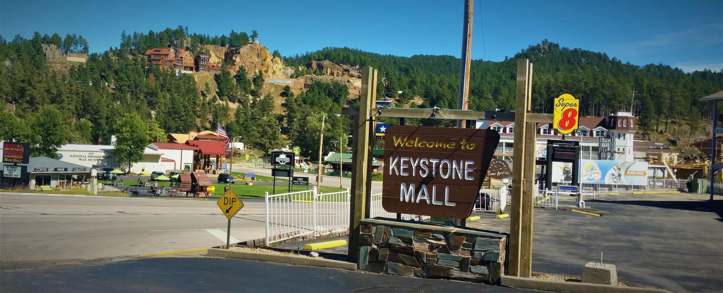
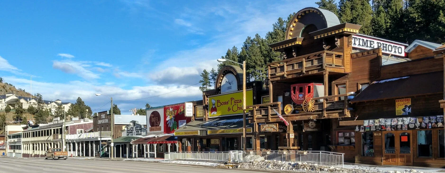
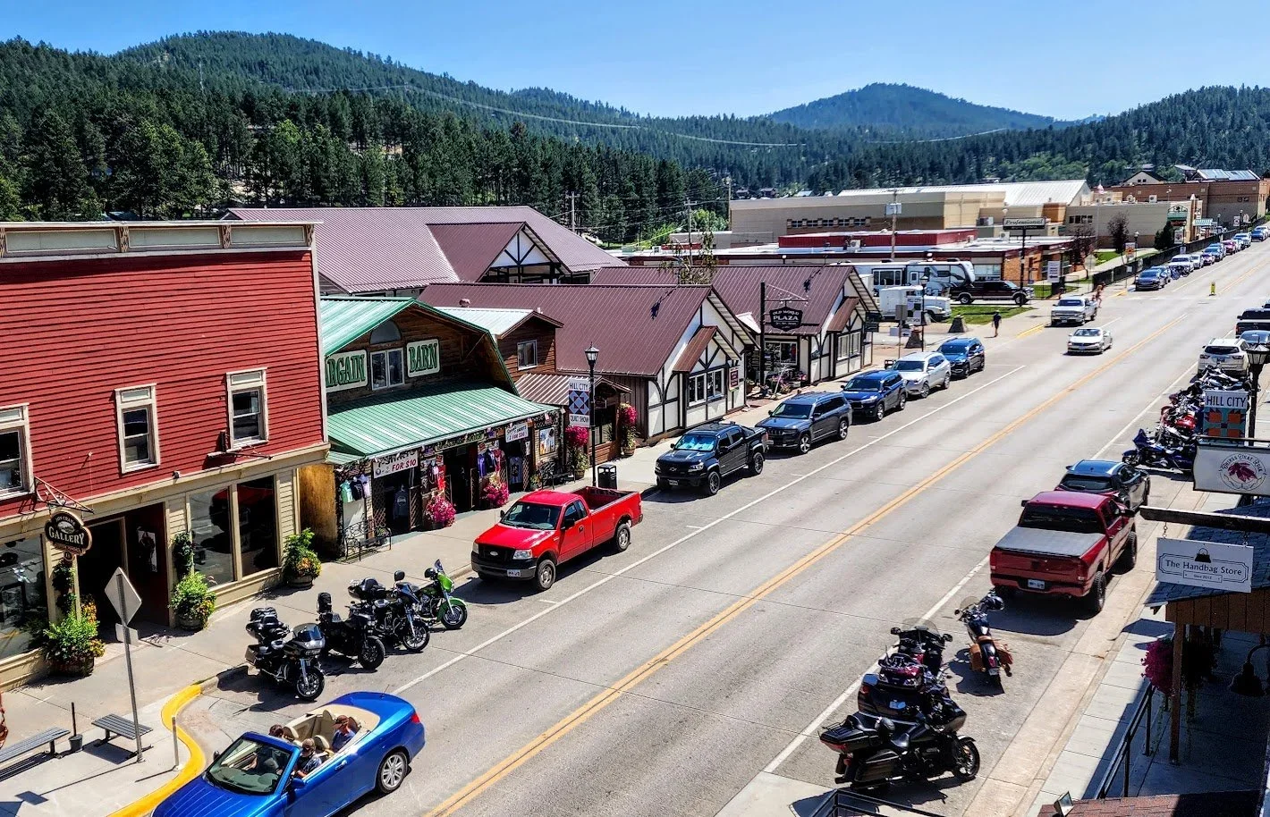
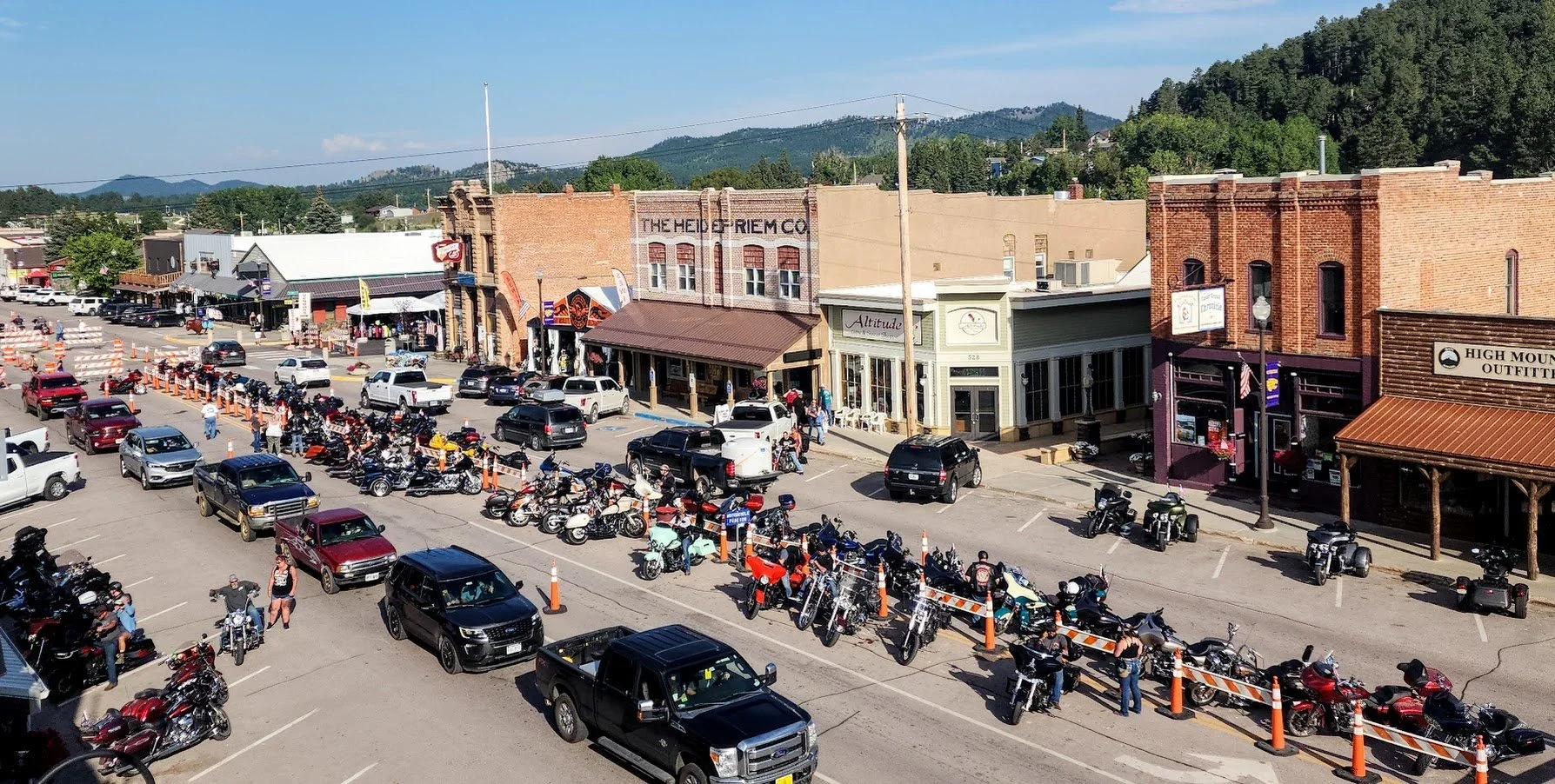
If coming from the towns of Hill City or Custer - click on the links below to learn more about these towns.