

Buzzards Roost
Buzzards Roost is a mountain biking and hiking area a few miles west of Rapid City on West Highway 44. There are a number of trails varying from easy to severe. No matter which trail you choose you’ll be starting with a climb. From the parking lot to Buzzards Roost, there is an elevation gain of 500 ft. The trails are mostly rocky with few sections of smooth riding. As you get to the top, you can take the .3 of a mile side trail that takes you to the overlook that is known as Buzzards Roost. From the Roost, you get nice views of the canyon that has been carved out by Rapid Creek. Some of these trails are marked, but a lot of them are not. We did a lot of rechecking to see what trail we were actually on, but it is hard to get lost - you pretty much end up going either up or down a trail.

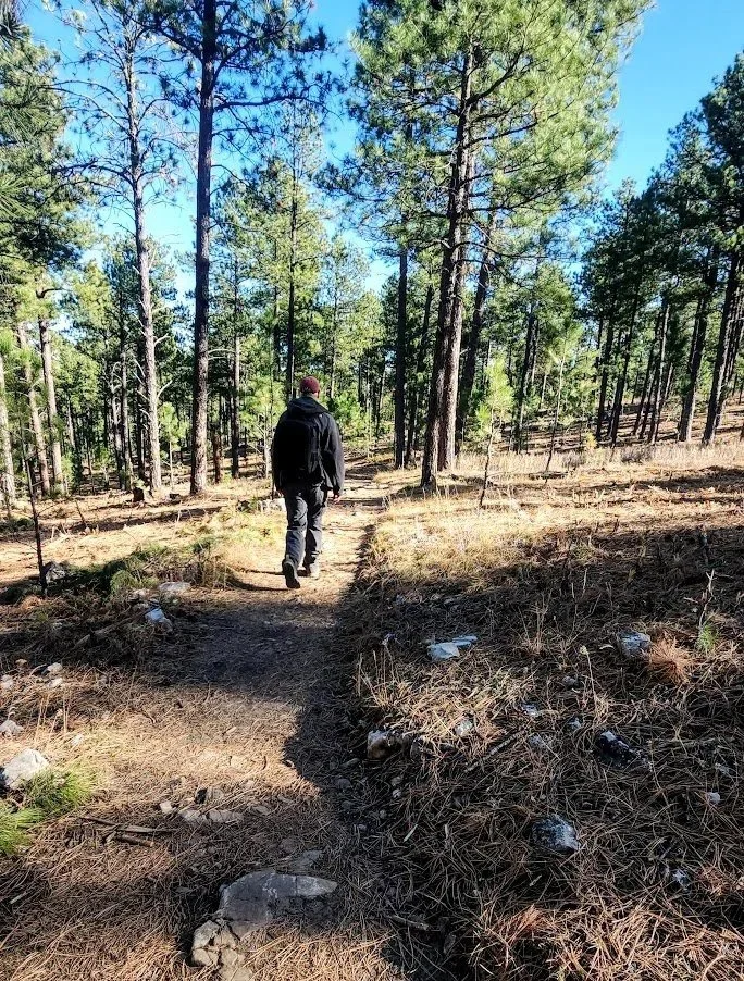
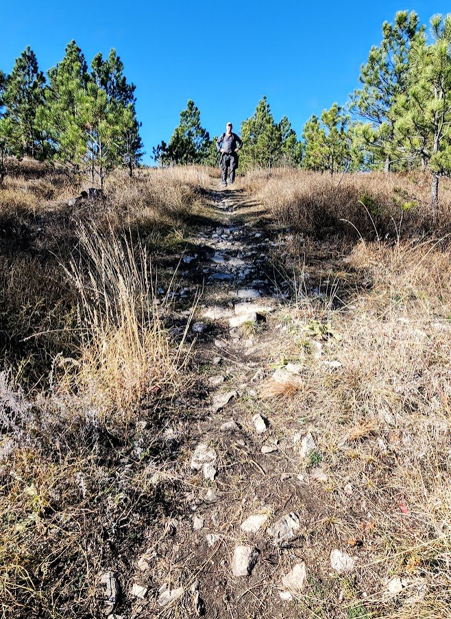
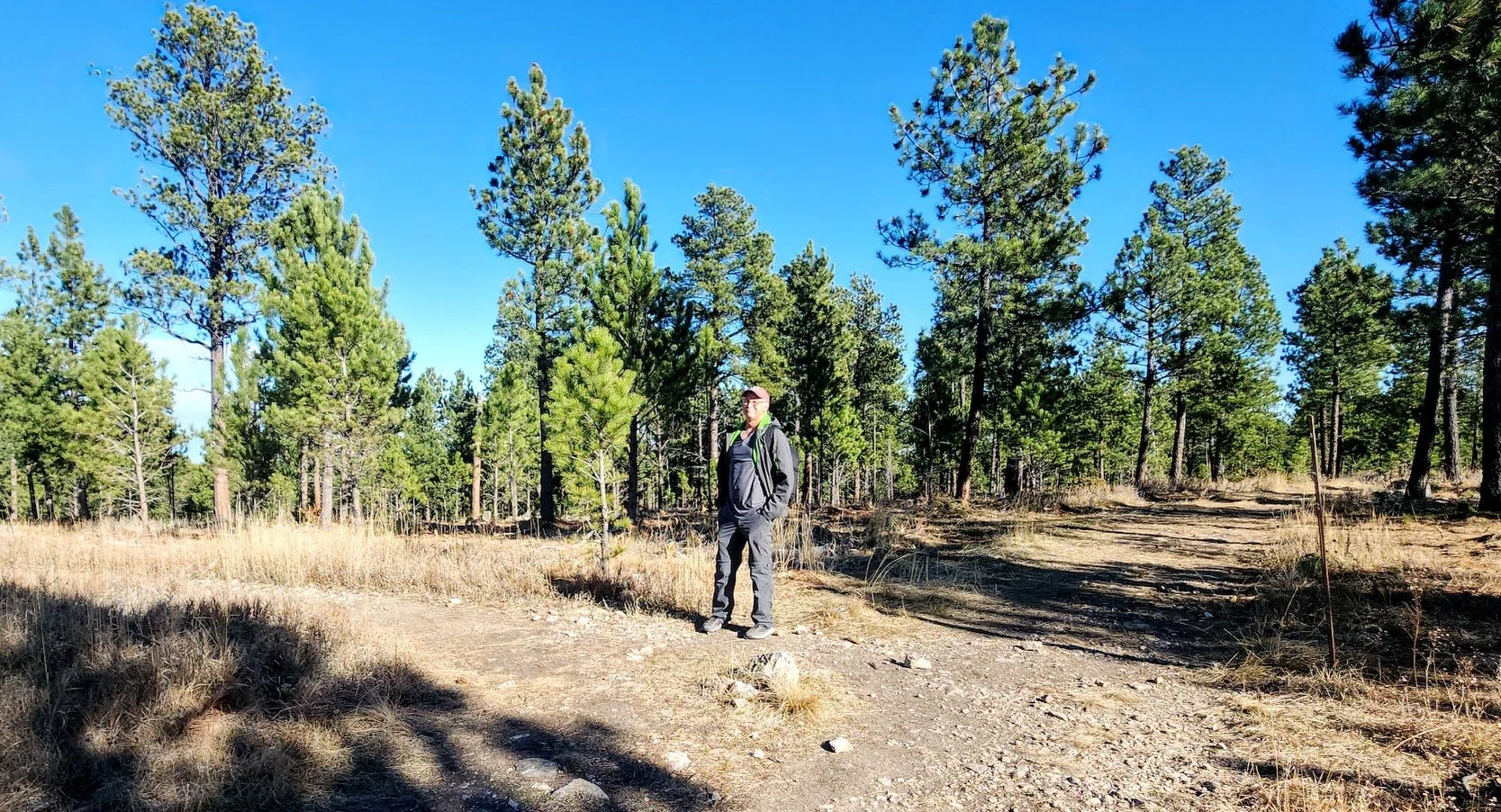
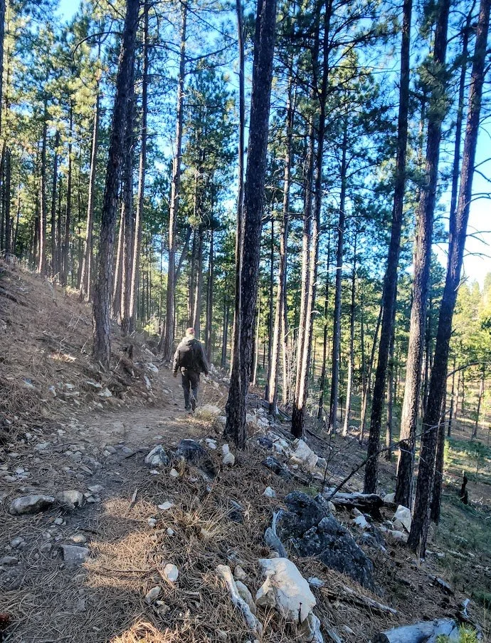
Beginning of the trail from the parking lot.
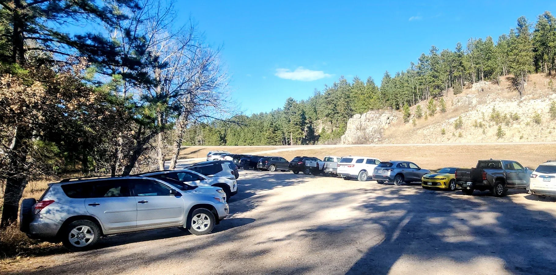
Parking lot is always full, but you can go on lots of trails without ever seeing anyone.

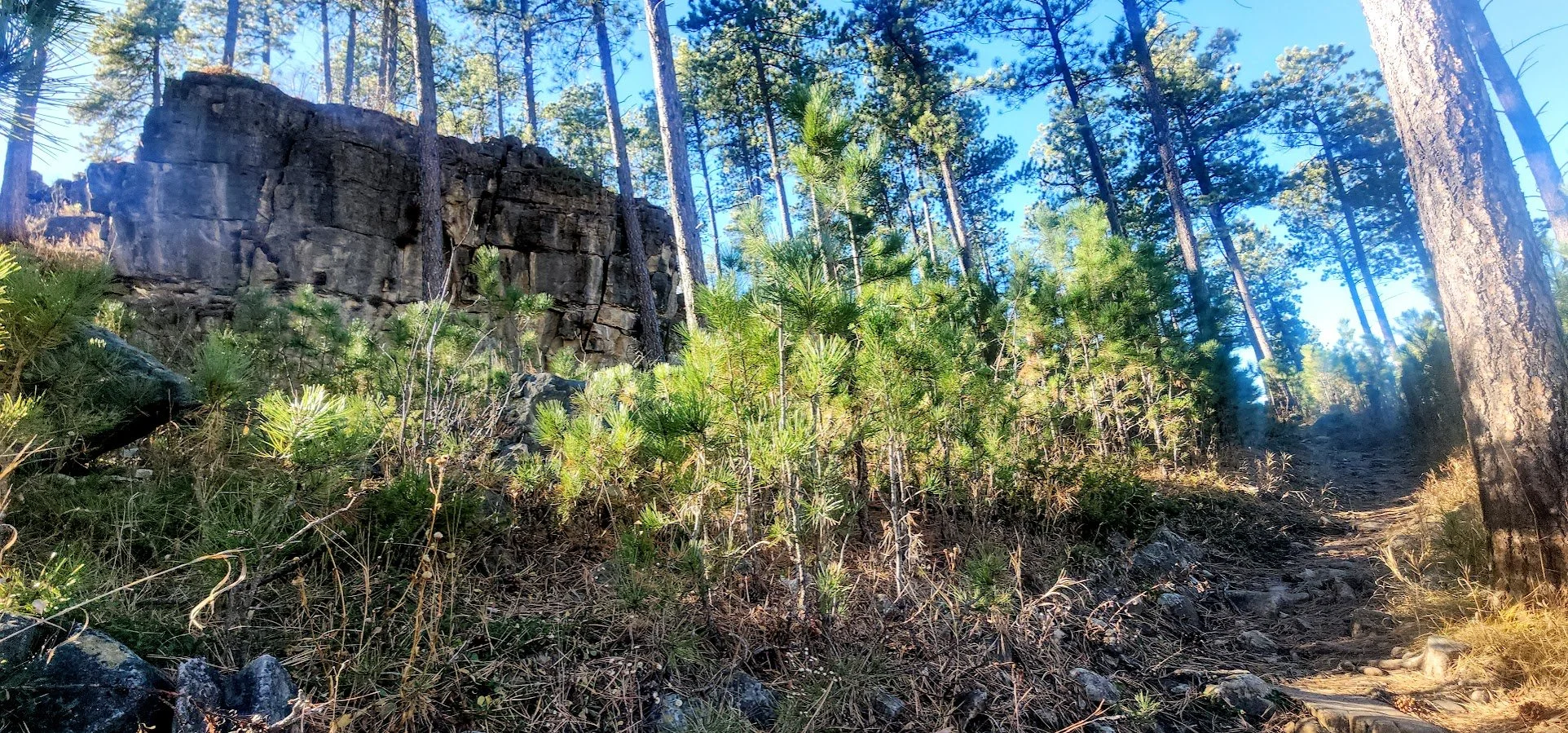
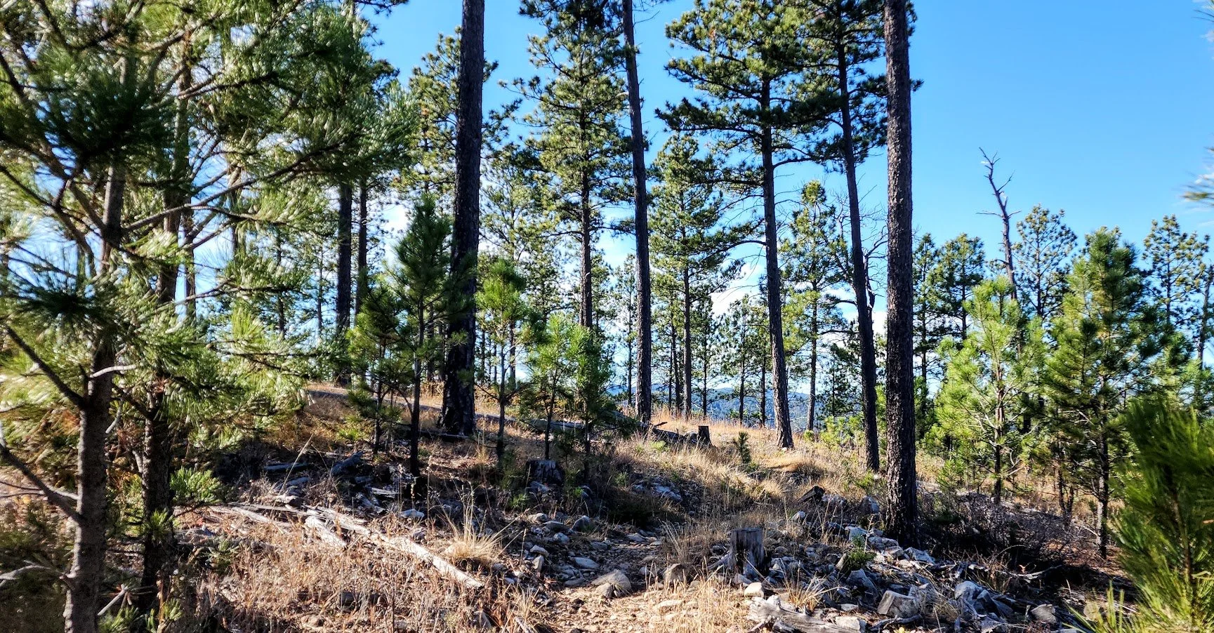
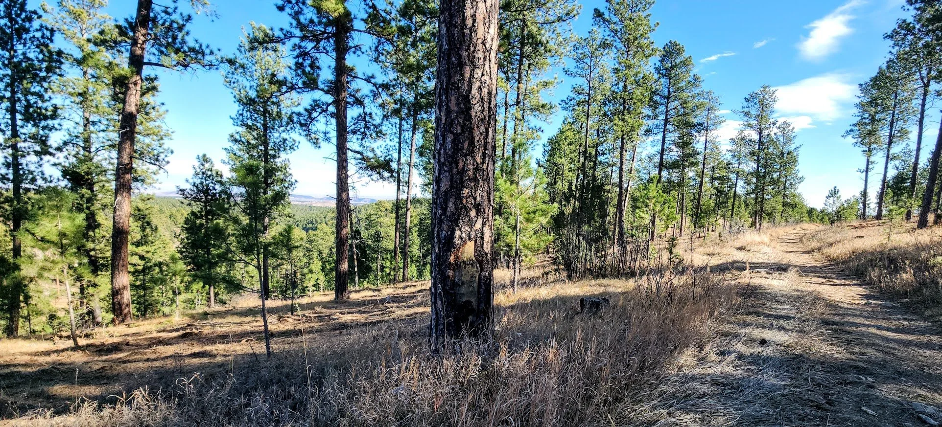
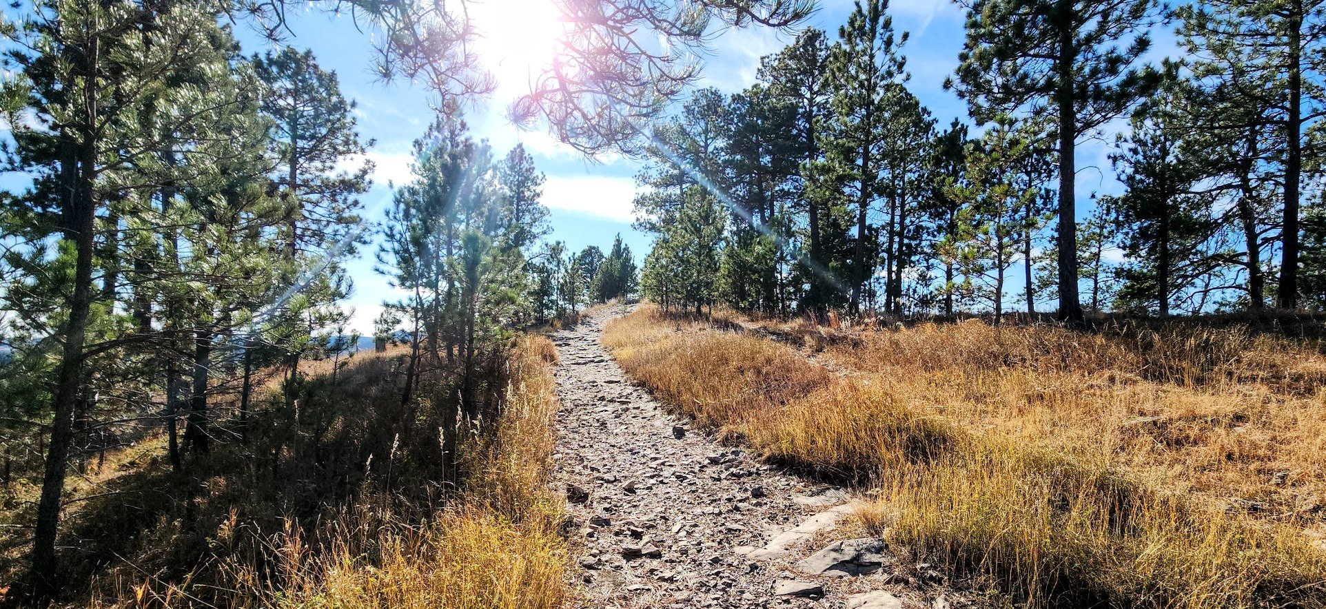
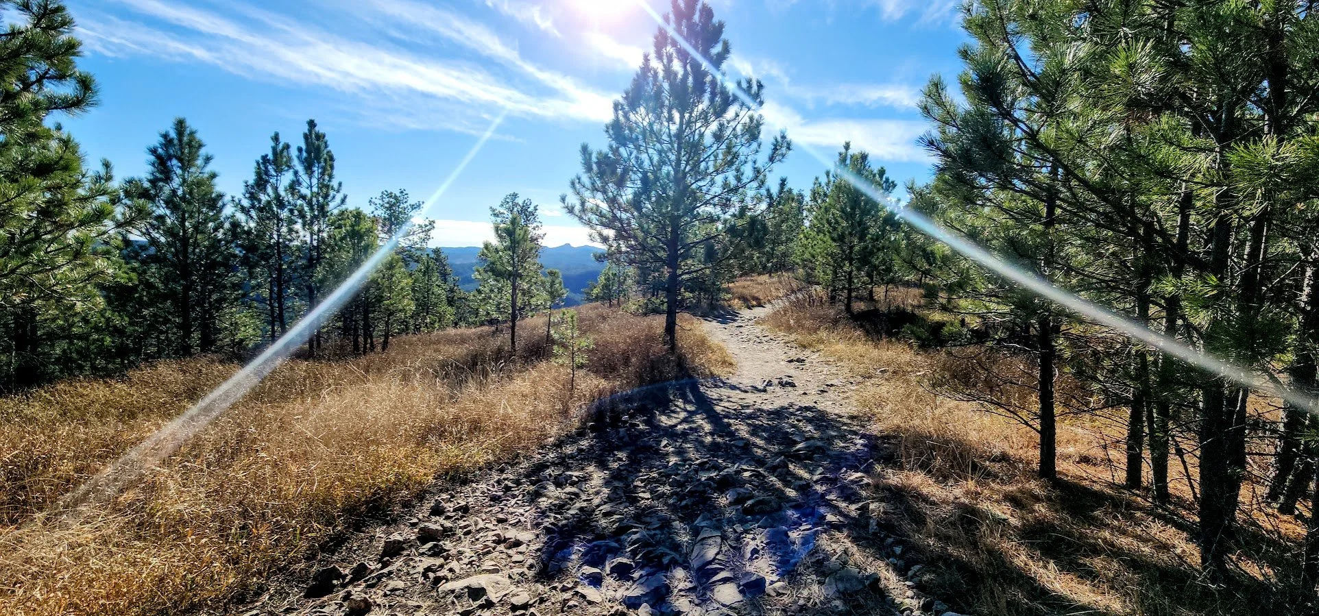
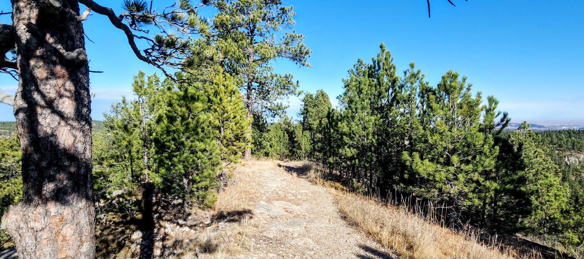
Typical trail conditions.
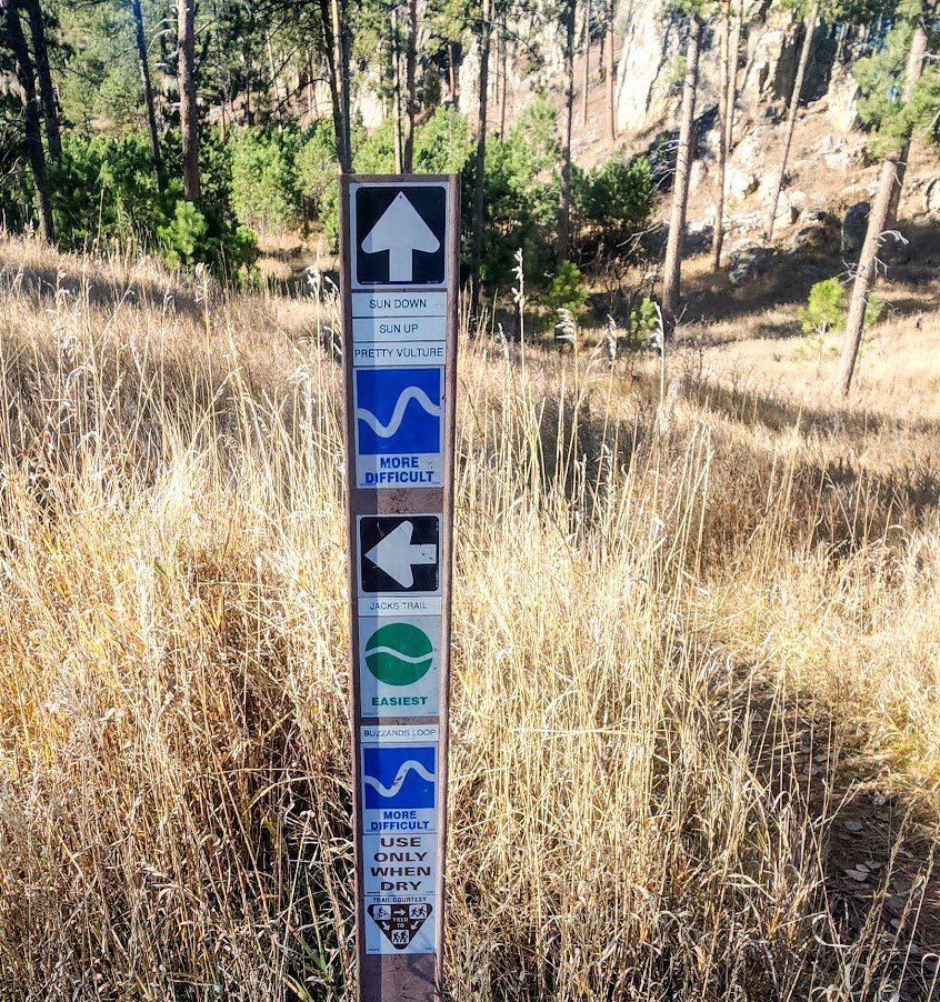
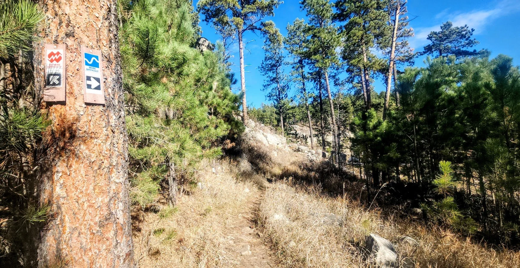
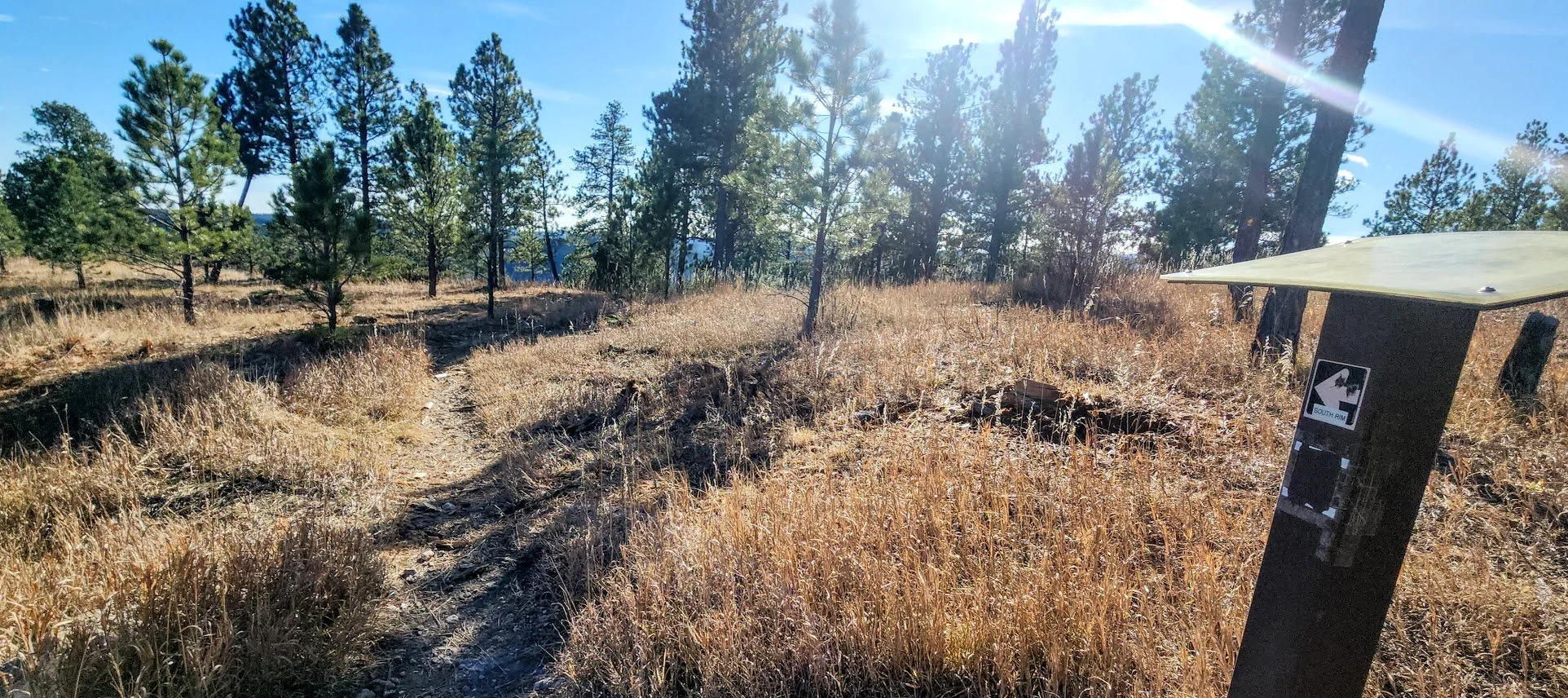
These trails are nicely marked.
We are hiking the Pretty Vulture trail today among others.
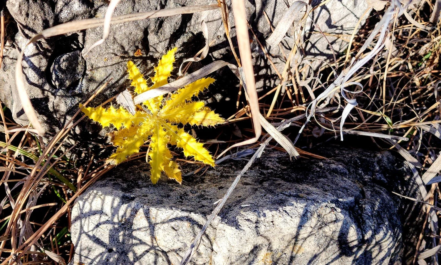
Love the splash of color in November.
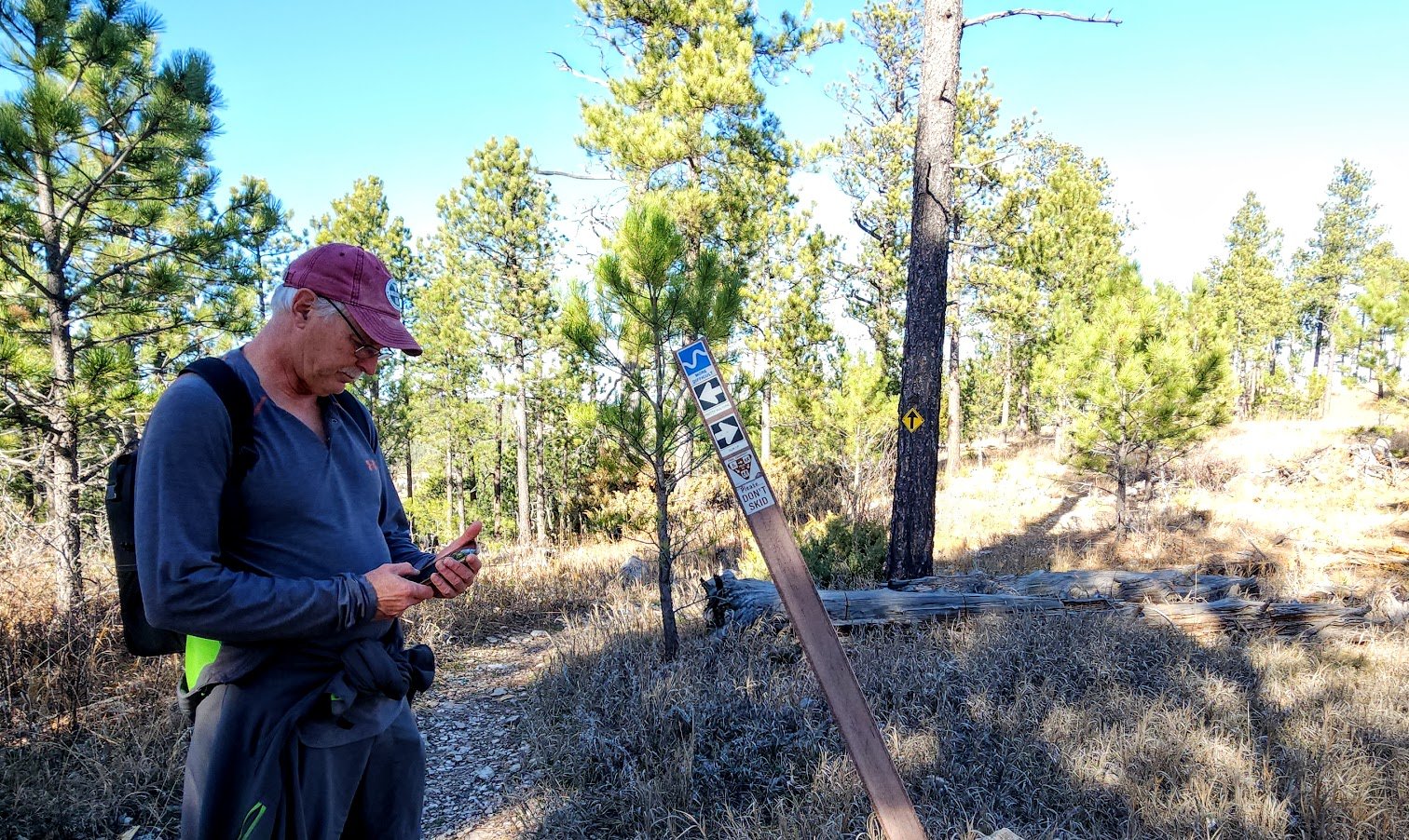
We do this a lot - trying to figure out which way to go.
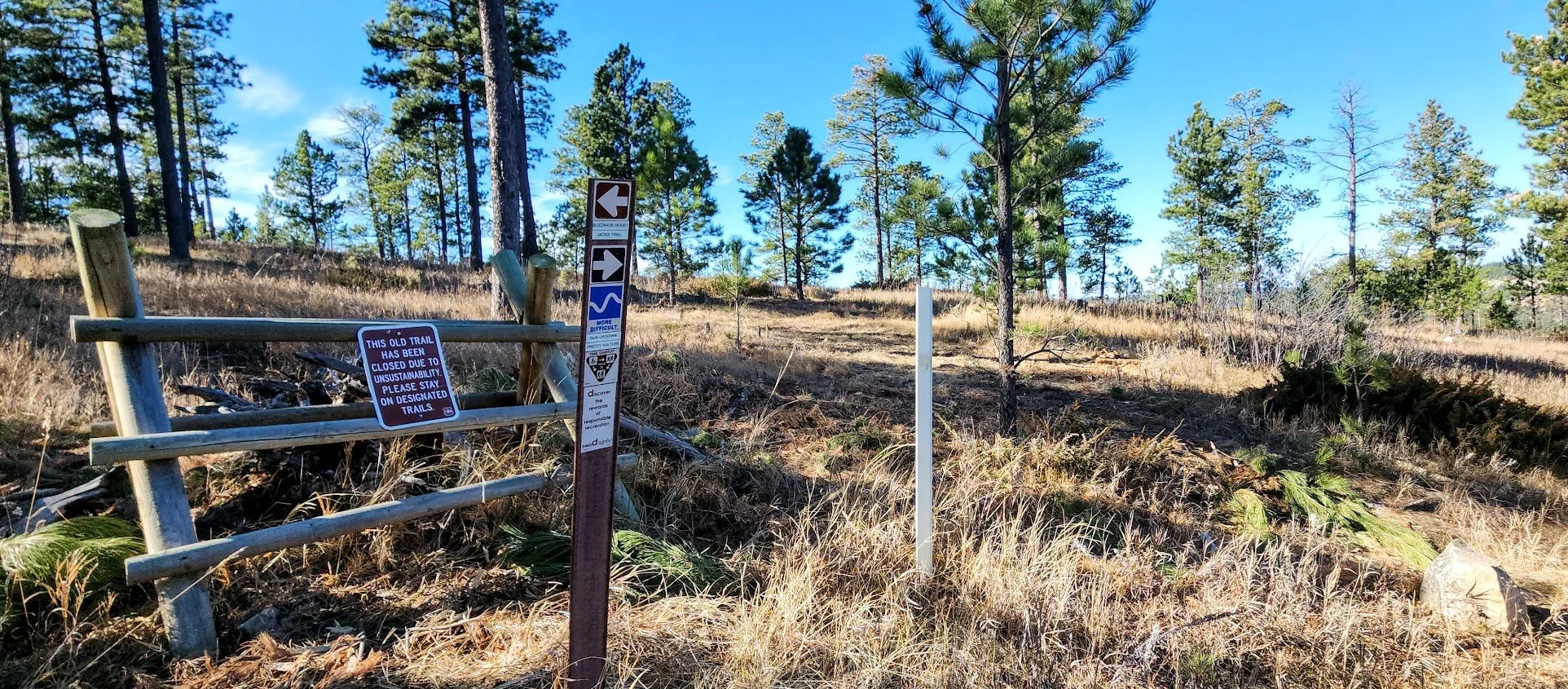
The closures on the trail are definitely marked.
Nearing the top to take the trail to Buzzard’s Roost.
This is not marked - but you need to take the trail to the right to get to Buzzard’s Roost.
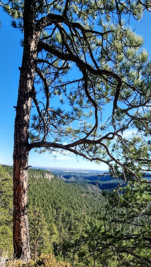
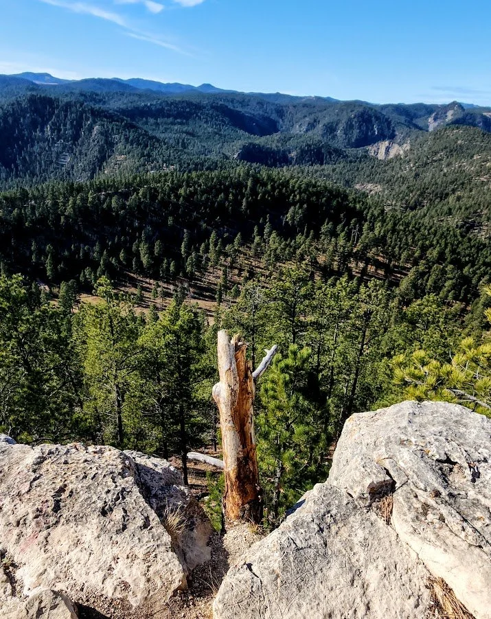
Looking back from Buzzard’s Roost.
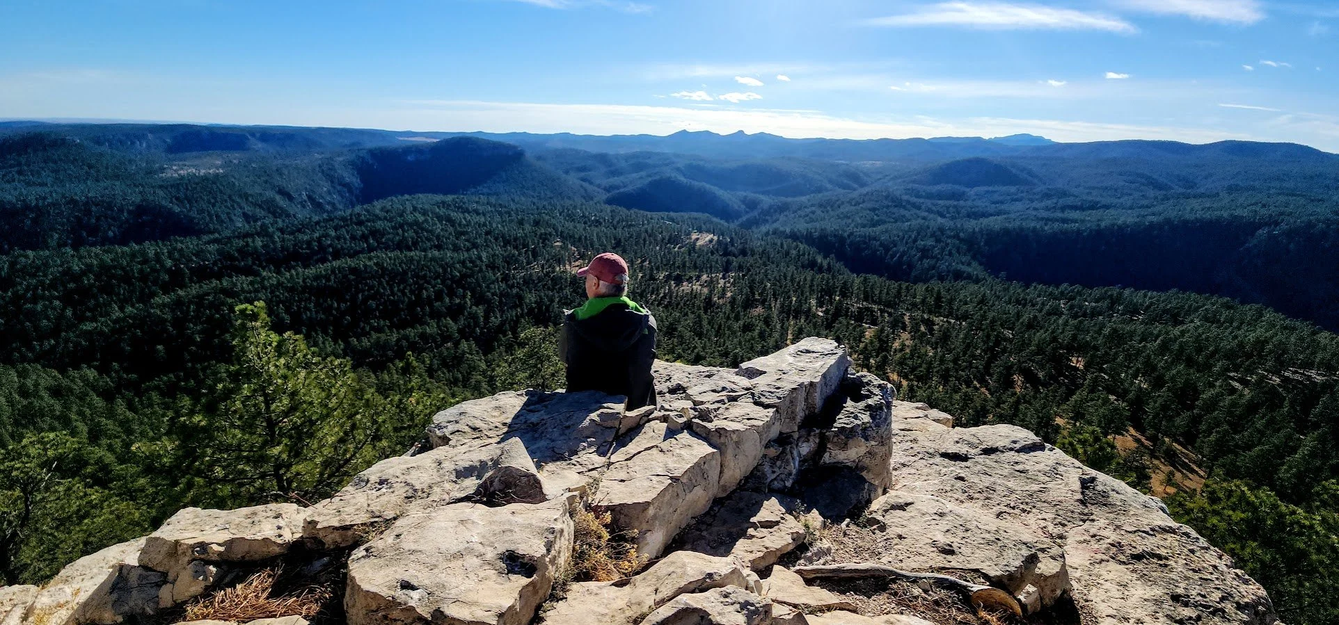
Looking west.
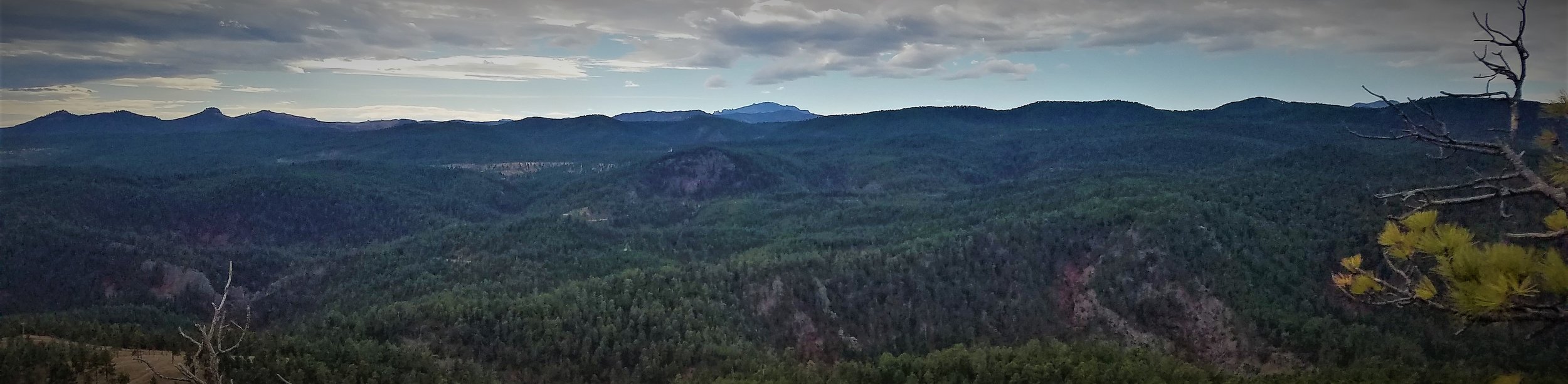
View of Harney Peak from Buzzards Roost.
Looking east.
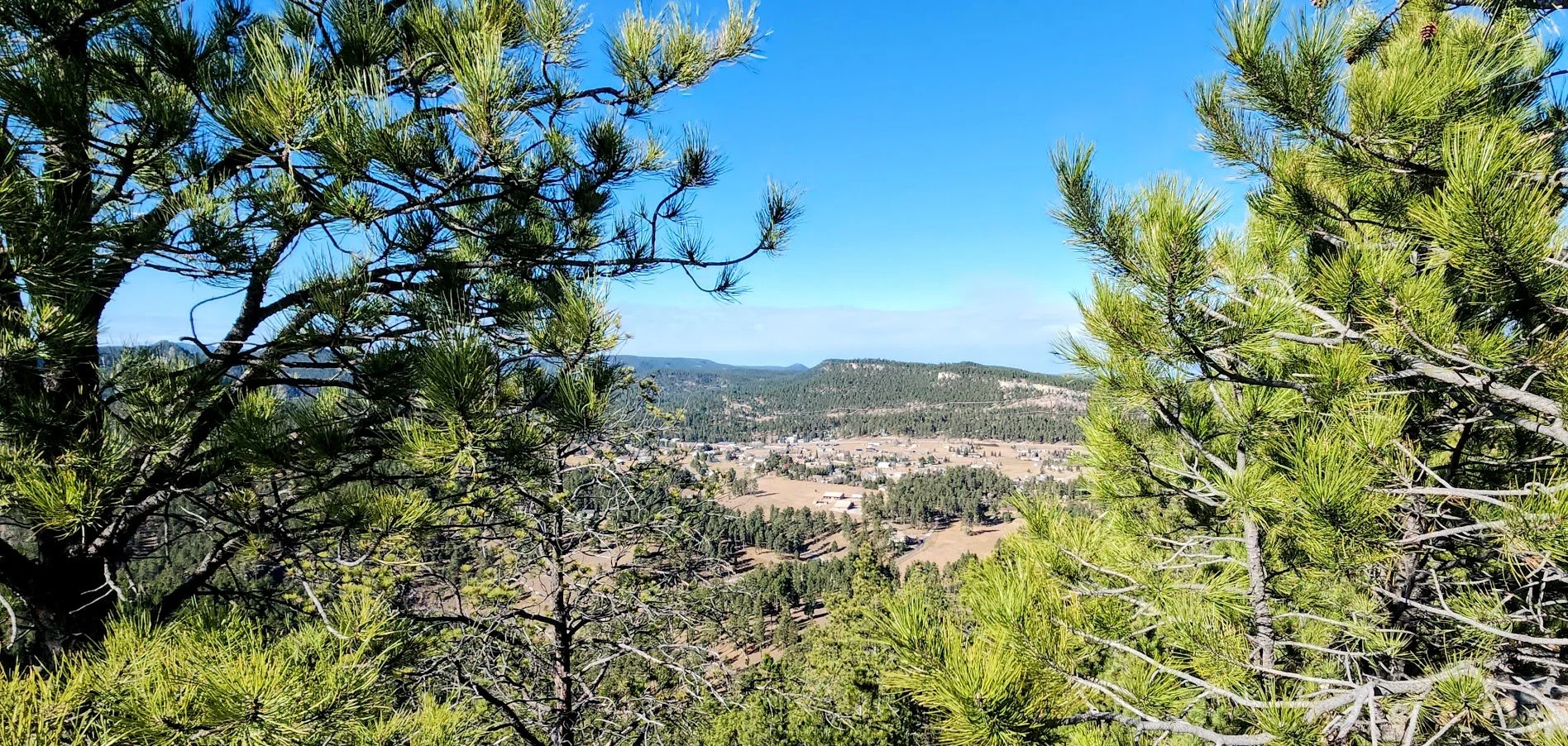
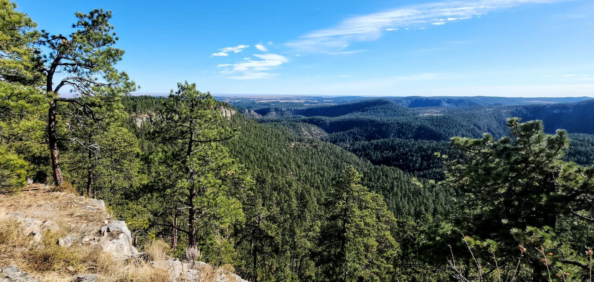
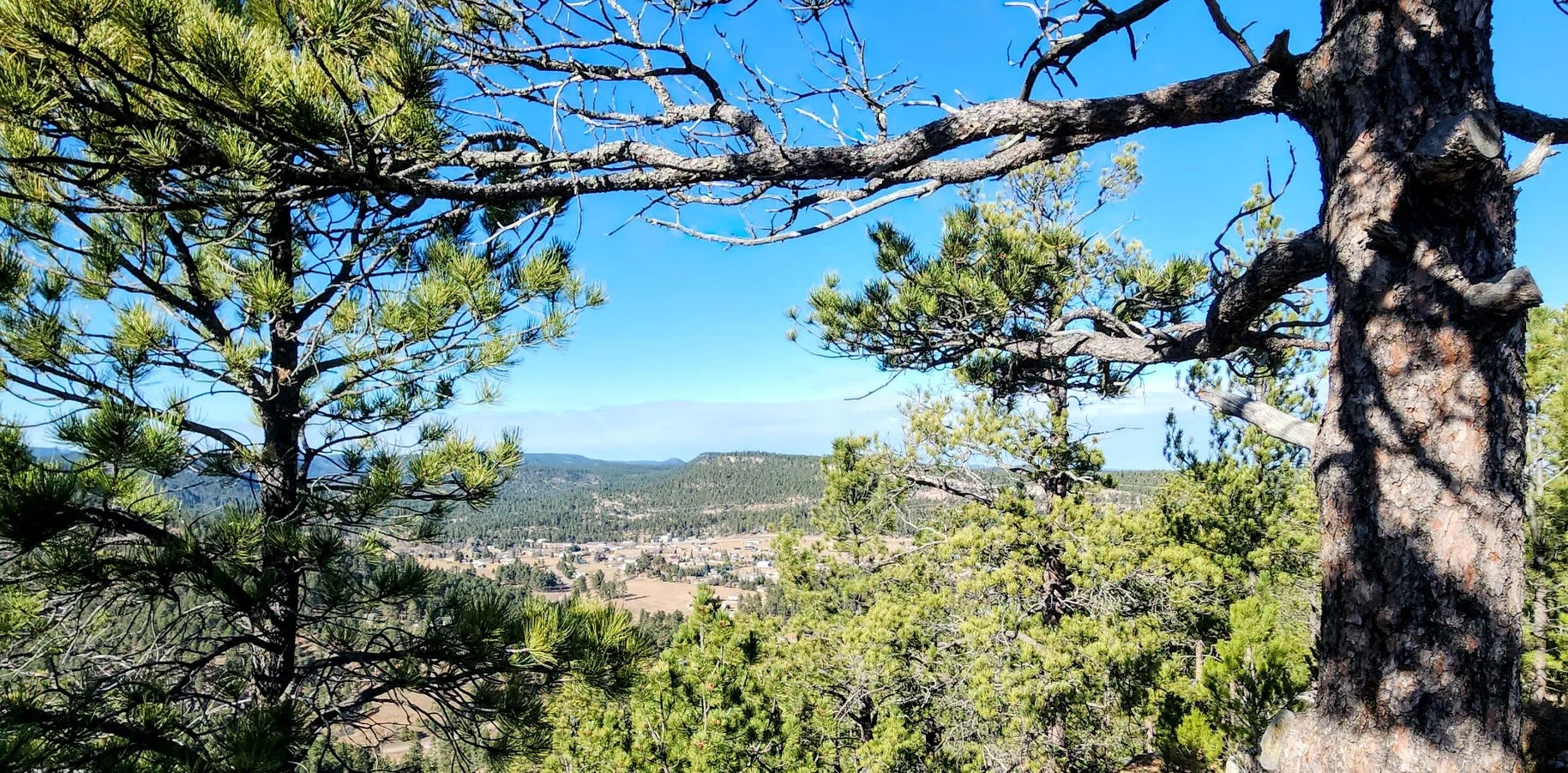
Town of Hisega below.

Heading back down from Buzzard’s Roost.

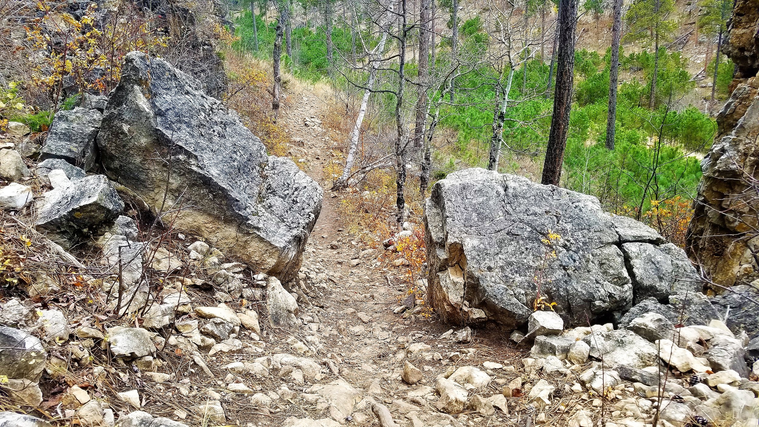

Some sections pretty rocky.

Local owl checking us out.
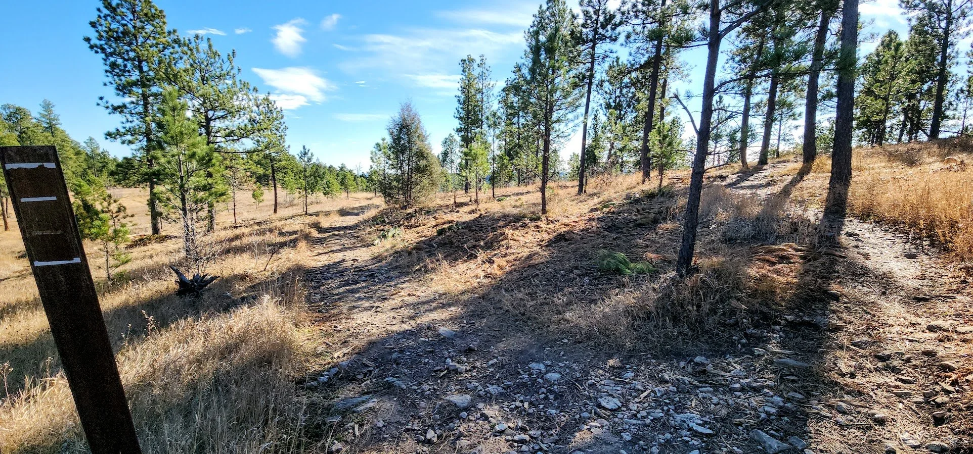
Another trail option.
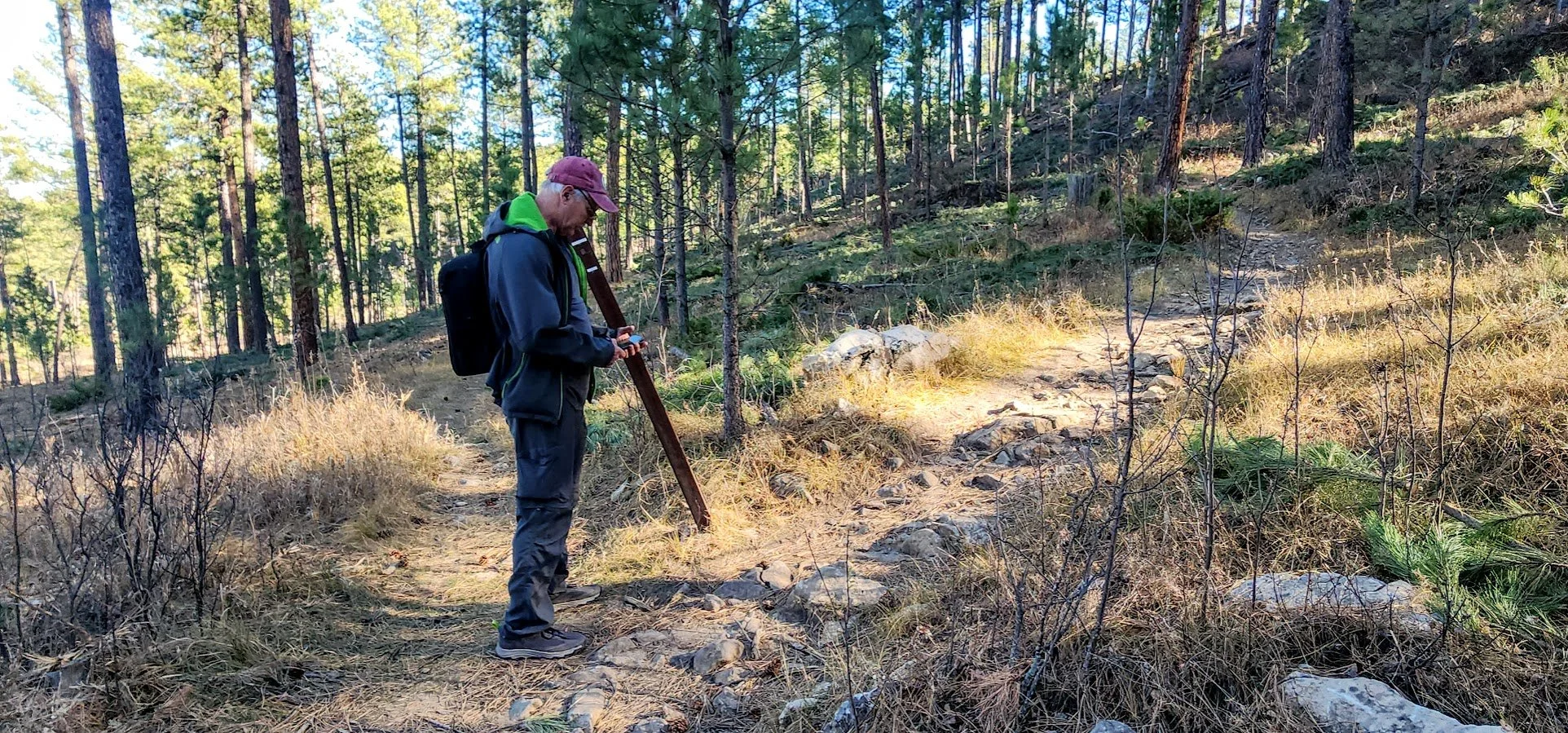
Still checking our location near the bottom due to unmarked trails.

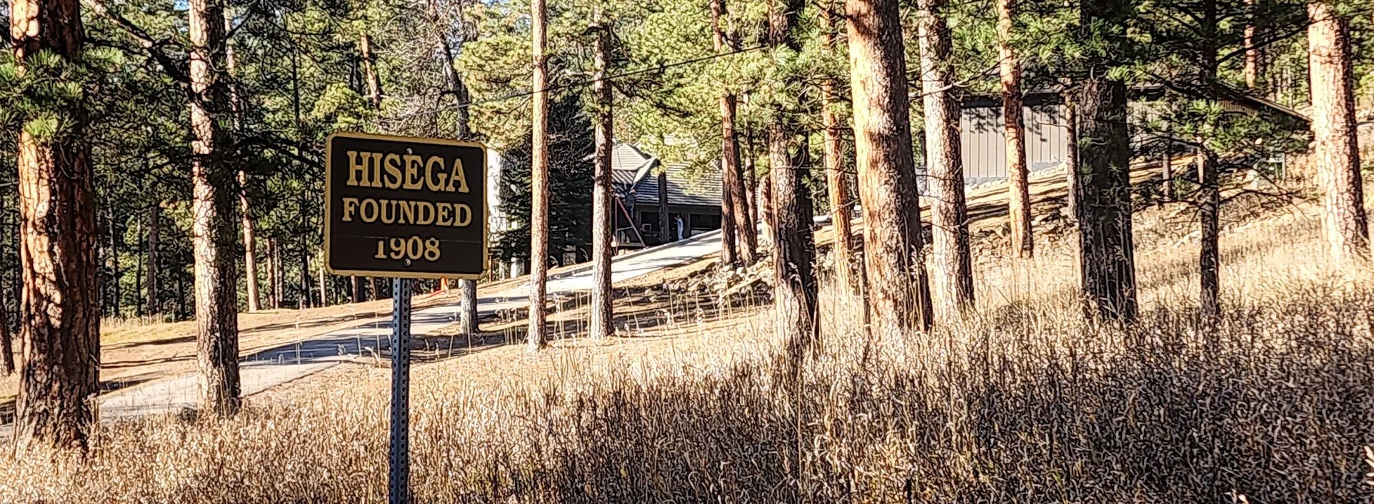
The town of Hisega below Buzzard’s Roost.
