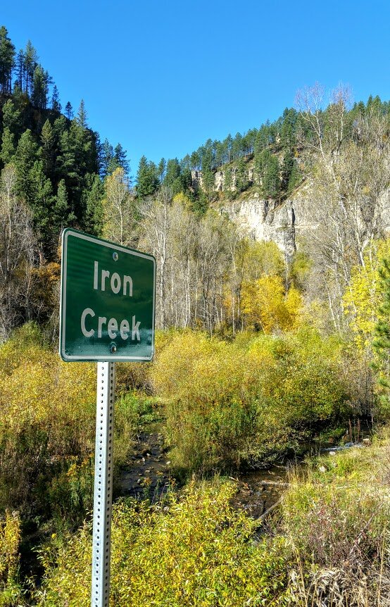


Custer State Park just started a Winter Challenge a couple of years ago where they give you a couple of hikes to do in the winter and once you complete the list you show them your selfies or photos that you completed the hikes and you will get a Custer State Park pin. This is a really fun way to get out in winter, complete a task, and then come home with a prize. This is the first time my husband and I did this challenge in the winter and it was really fun. We also got to spend a lot of time by ourselves in the park which is a lot different from the busy time in the summer.
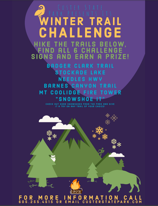

Most of these hikes were anywhere form 1 mile to 4 miles depending on which way you went, and how long you decided to hike after you got the selfie you needed. Some of the trails were so pretty we kept hiking. Here are the 6 trails/challenges we did this year. Although it is too late to do this challenge now yourself this year, keep it in mind to do next year. It is definitely a fun way to spend your winter days.
Badger Clark Trail

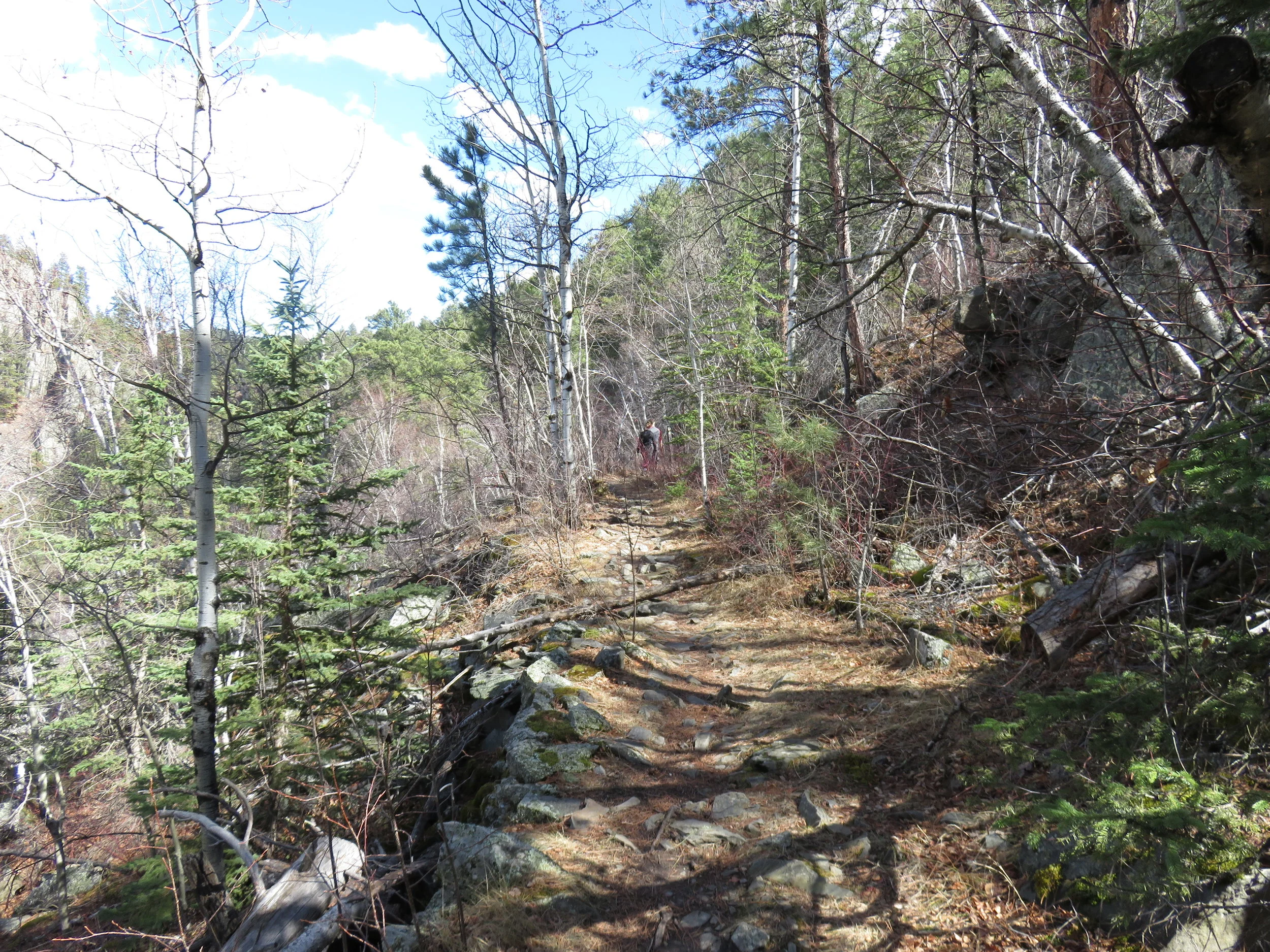
The Badger Clark Historic Trail is a little loop trail in Custer State Park that is about 1 mile in length. The trailhead is 1 mile south of Highway 16 on Badger Clark Road near Legion Lake. Part of the trail was created by Badger Clark himself, a famous writer and poet. Badger Clark lived in the area for over 30 years in a small cabin on site named “The Badger Hole”. During summer, tours are available through the Badger Hole, where volunteer rangers are there to answer questions. The trail itself is pretty easy and a good place to get out, stretch, and smell the fresh air. If open, the cabin is really cool and full of tons of history. The Centennial Trail also runs along the cabin


Stockade Lake Trail

Stockade Lake is the largest lake in Custer State Park and is located on Highway 16A just east of the town of Custer. The lake has three campgrounds, and is the only lake in the park that allows all boats. The lake has a swimming beach, a playground, and is near some of the Black Hills Points of Interest such as the Gordon Stockade - the site of the first gold discovery in the Black Hills.


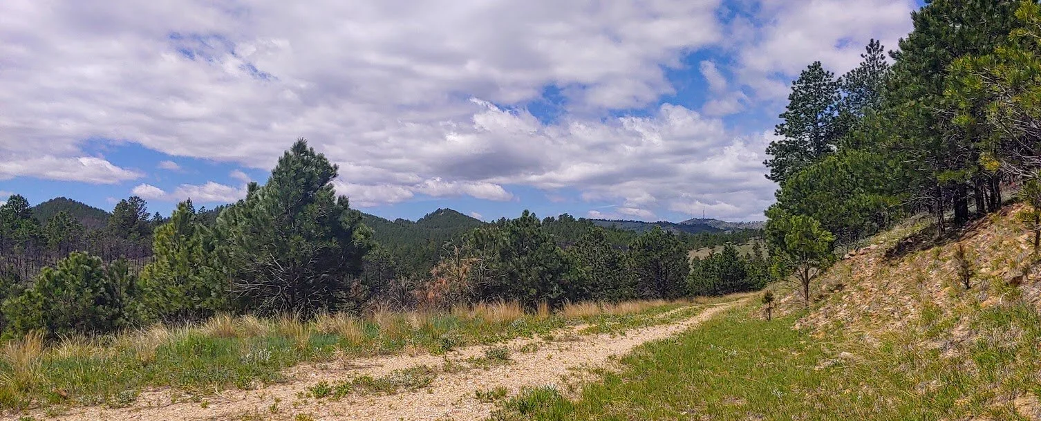
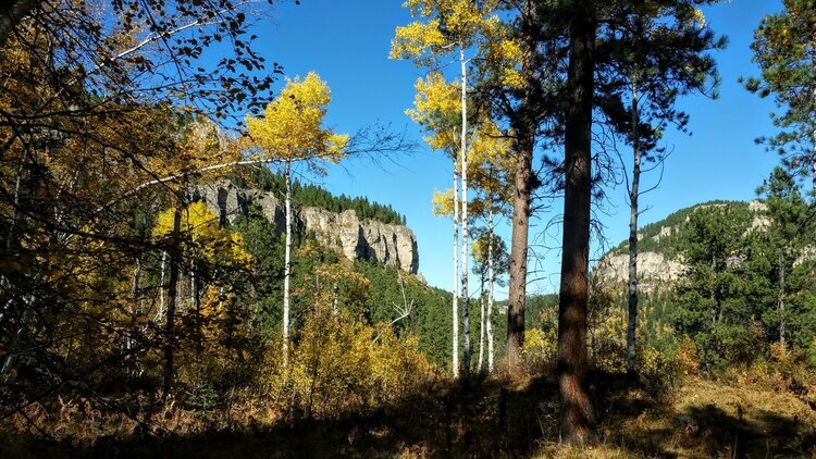
Needles Highway

This national scenic byway was considered impossible to construct by some before it was finished in 1922. It is named after the high granite "needles" it winds among. On the highway, you'll drive by the needles eye, around tight turns, through low tunnels and near the Cathedral Spires. One of the most famous parts of the drive is the Needle Eye Tunnel. This one-way tunnel is only 8′ 4″ wide by 12′ 0″ high so make sure your vehicle will fit through before starting up the highway because once you reach the tunnel, there isn't much room to turn around.
The Needles Highway starts near Sylvan Lake and ends up near Legion Lake, State Game Lodge, or Center Lake and full of adventure and beautiful scenery which ever way you choose to go.
When we did this hike, we kept walking after the selfie station because it was so beautiful and peaceful. There are also no cars allowed in the wintertime as the road is closed. There was also not enough snow for any snowmobiles, so we had the road to ourselves.


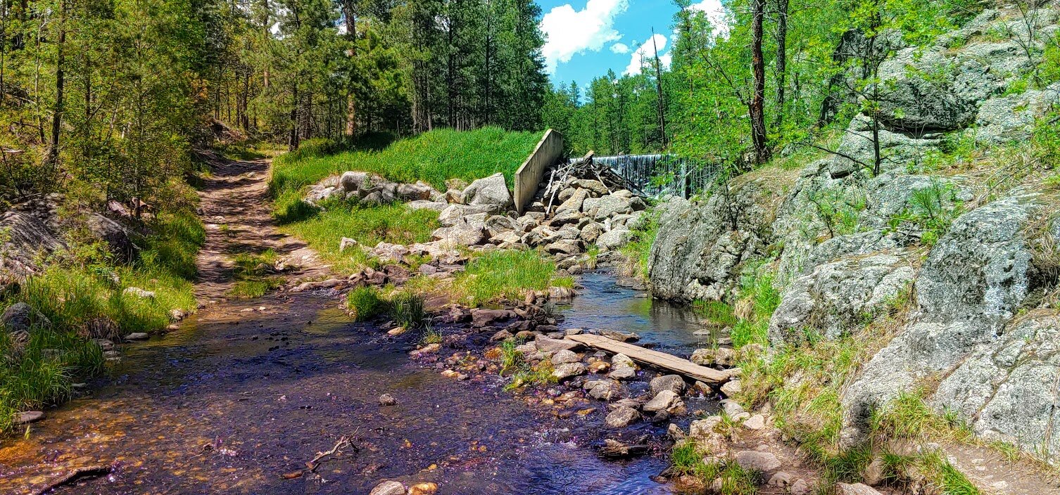
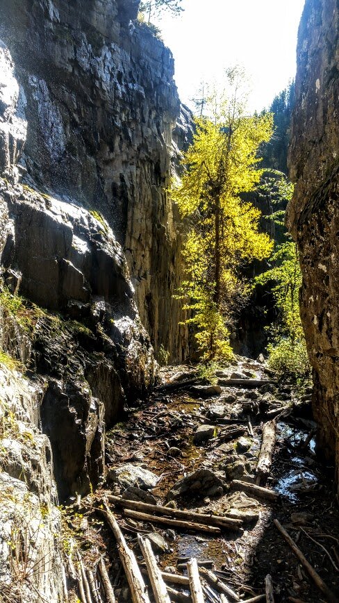
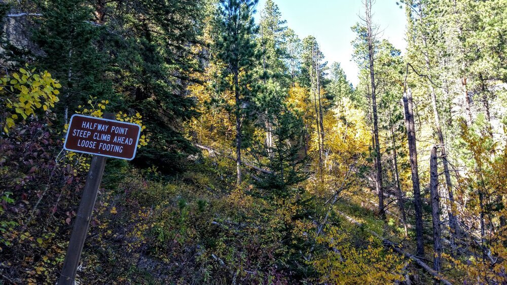
Barnes Canyon Trail

Yes we did this in the wintertime - no snow.
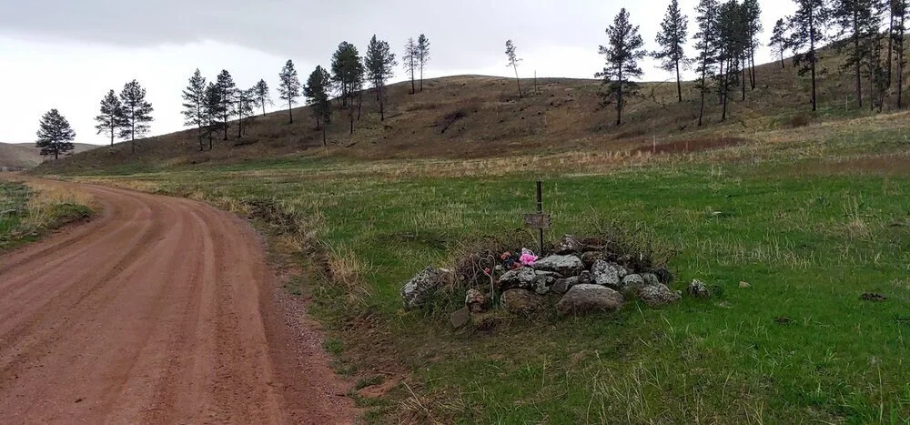
Barnes Canyon Trail is a newer trail in Custer State Park and it goes between Wildlife Loop Rd and Badger Clark Road. The hike follows an old logging road, and is a about 4.7 miles one way. The cool thing on this trail was we saw 3 elk ( hard to ever see ) and some buffalo near the trail. For the most part there is nothing special about the trail, and we saw very few people on it. This year (2021) the trail is part of the summer challenge hikes, and the medallion is halfway up the trail. When my husband and I hiked the trail we did 1/2 the trail at night and turned around and did the 2nd half the next day. If you are just doing the trail for the medallion, I recommend coming from Badger Clark Road side- the trail is easier, prettier, and has more lookouts. The other part of the trail starts off Airport Road off Wildlife Loop Road.
For the winter challenge - 2021-2022 - same thing. Start at the Badger Clark Road side. There are actually 2 selfie stations before you hit the 2 mile mark for some reason.


Snowshoe It

We were really lucky for this one. We decided to snowshoe to Mount Coolidge Fire Tower and there was actually snow. Most of the hikes we did in the winter had little to no snow, so make sure you plan accordingly if this is one of the challenges next year.


Mount Coolidge

Mount Coolidge is located on SD 87 between Blue Bell Campground and Legion Lake Campground. The tower is atop a 6,023 foot peak and has some amazing 360 degree views of the Black Hills. From the top with binoculars or a good zoom lens, you can see Crazy Horse, Mount Rushmore, the Needles, Black Elk Fire Tower, Ellsworth Airforce Base, and the Badlands.
The tower was built in the 1940's by the Civilian Conservation Corps and is now used to spot fires. The road up to the tower is a little steep and winds a lot. Large vehicles and motorhomes should not attempt the drive to the tower since it is narrow, curvy, and has a lot of sharp dropoffs with no guard rails. There is also limited car parking at the top and an outhouse. The tower is only open on good days and is closed in the winter due to the road that leads to the tower being slightly dangerous.
This was such a fun challenge because we had the whole road to ourselves, the views were amazing, and we had time to enjoy them.


Our Prize

Another pin for Dave’s hiking hat.