

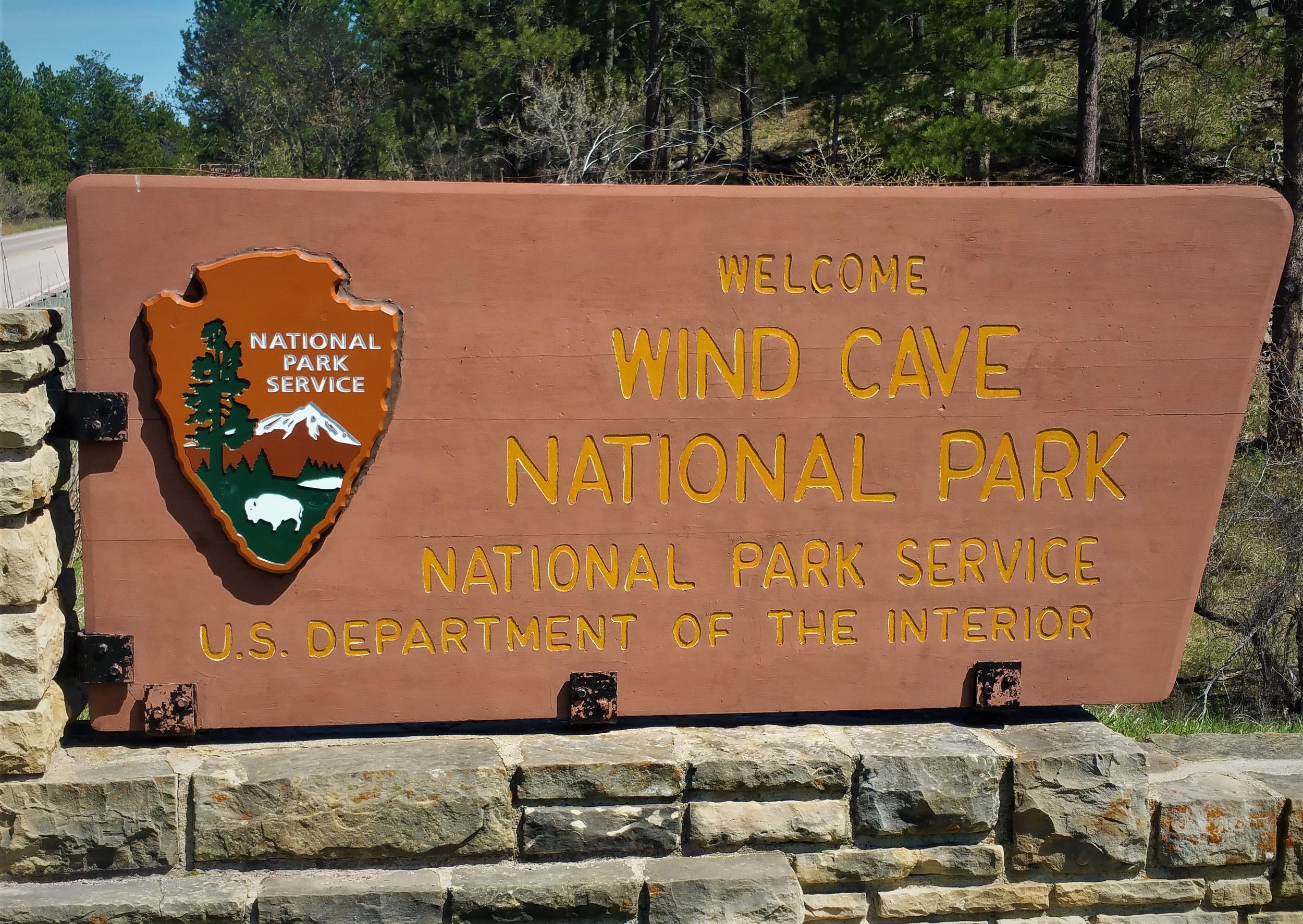
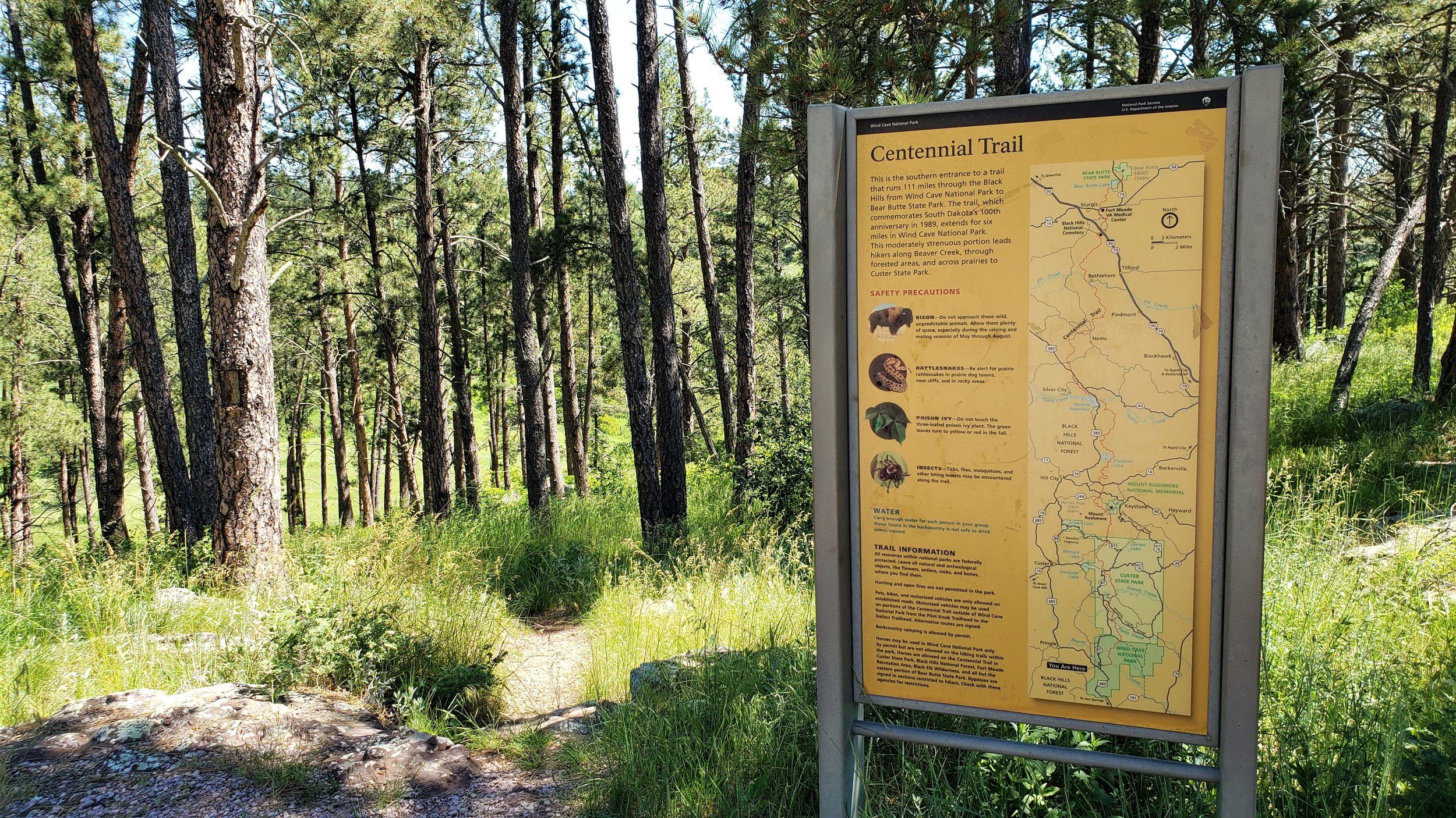
When most people think of Wind Cave National Park they naturally think of the cave that the park was named for, but it also has back country trails, buffalo, elk, antelope and more. Most of what is found in Custer State Park, can also be found here, you just may have to work a little harder for it because you’ll be hiking to see the sites instead of driving. There are several trails throughout the park, but since I am working on section hiking the Centennial Trail, that is the trail I chose. The Centennial Trail is a 111 mile trail that begins in Wind Cave National Park in the south and ends at the top of Bear Butte in the north. For my purposes, I set out to backpack all of the Centennial trail that is in Wind Cave Wind Cave National Park. This 6.2 mile section begins at the Norbeck Trailhead and ends at the Highland Creek Trailhead. After reaching the Highland Creek TH, I would then head back on the trail about a mile and set up camp. The next day I would get up and hike back to my truck and head home.
Since it is only 6.2 miles, I knew I didn’t need an early start, so I slept in a little bit, ate a good breakfast, then left Rapid City for the 1 hour drive to the park. To camp in the back country of the park, a permit is needed, so my first stop was at the visitor center to pick one up.The permit was easy to get and I was soon on my way. The Norbeck Trailhead is probably only a half mile from the visitors center, so it wasn’t long before I was strapping on my backpack and heading down the trail.

Before I get started there are a couple of issues I’d like to address. First, I knew that it was supposed to be warm, but it turned out to be a lot hotter than I thought it was going to be. I started at 10:30 am and the temperature was 93 degrees. It almost made me turn around, but I thought that I would give it a try and if took a lot of breaks and kept hydrated, I could handle it. Also, once I got up a little in elevation, the temp seemed to go down a little and there was a nice breeze.

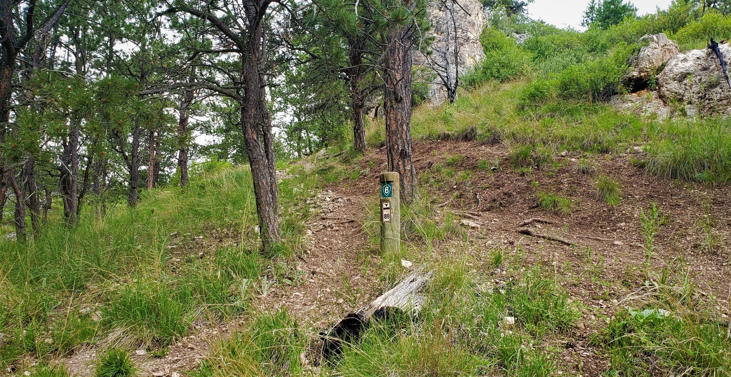
Second, some sections of the 111 mile Centennial Trail are not marked very well, making it a little more challenging but the trails within Wind Cave National Park are very well marked. About every 1/8 of a mile there is a post with a sign that has the trail number on it, making it pretty easy to follow. The only places I had problems was at the beginning (take either the trail to the left or the trail straight ahead, they lead to the same place) and where trails intersected. When trails intersect, there are posts going off in all directions, so it’s a good idea to know the general direction you should be heading after the intersection. The last issue I’d like to address is water. Beaver Creek is a good water source, but it is right at the beginning, so it doesn’t do you much good. After that, there may be small creeks here or there, and I guess it depends on what you are comfortable drinking because the buffalo usually have contaminated all the other water sources. Just something to think about - you may not be able to fill up your water supply once your in the park.

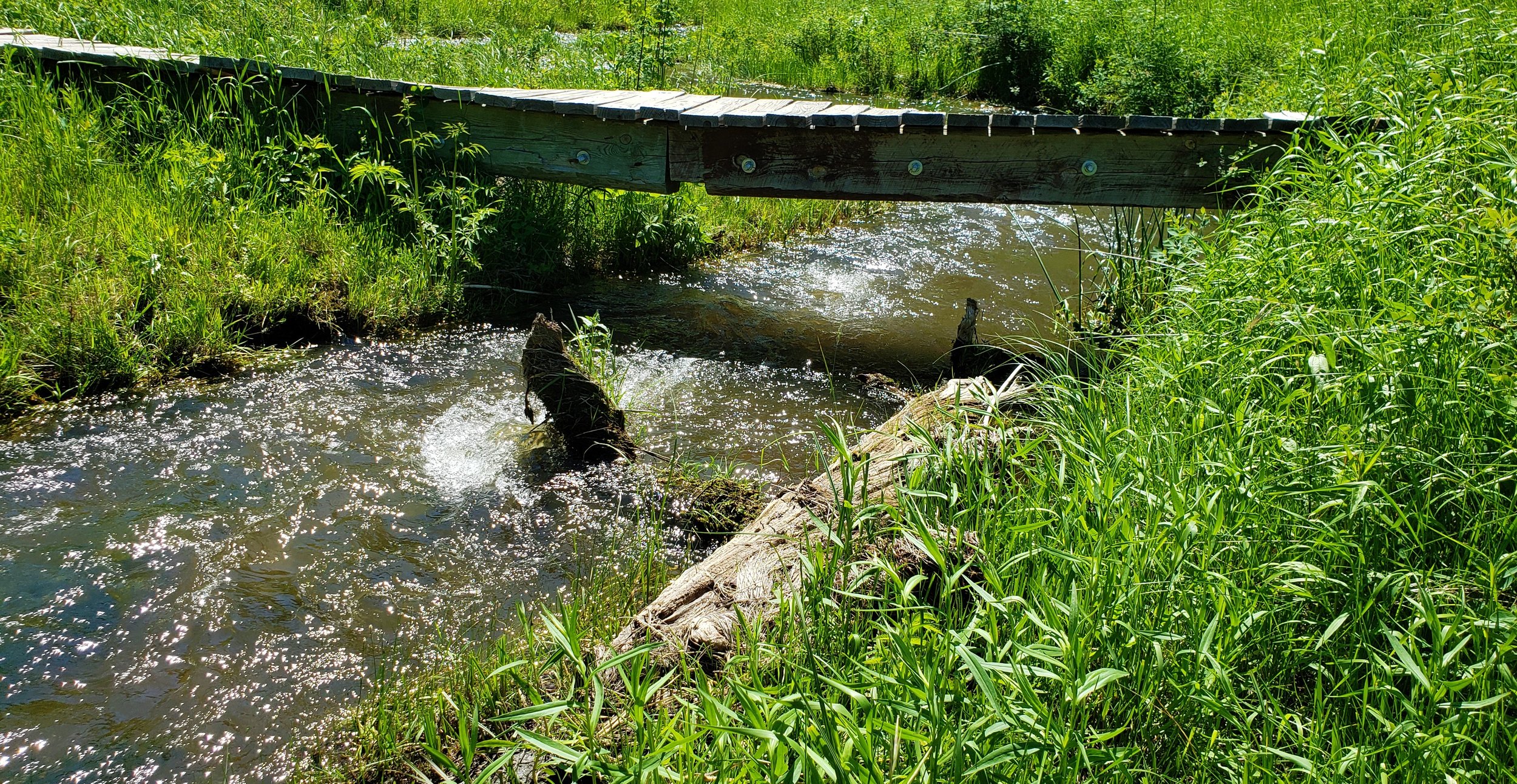
The first 1.6 miles of the hike drops down into a grassy valley. The trails crosses Beaver Creek several times, but there are bridges for all the crossings, so you don’t have to worry about getting wet.

Just before the trail separates from the Overlook point trail at 1.5 miles in, I start to hear a fairly loud rushing air noise. As the noise grows loader I look across the creek to the north and see a small cave in the side of a cliff. The noise I hear is the wind blowing out of the cave. This phenomenon is how Wind Cave got it’s name and the wind can be blowing out or being sucked into the cave depending on the difference in the air pressure.
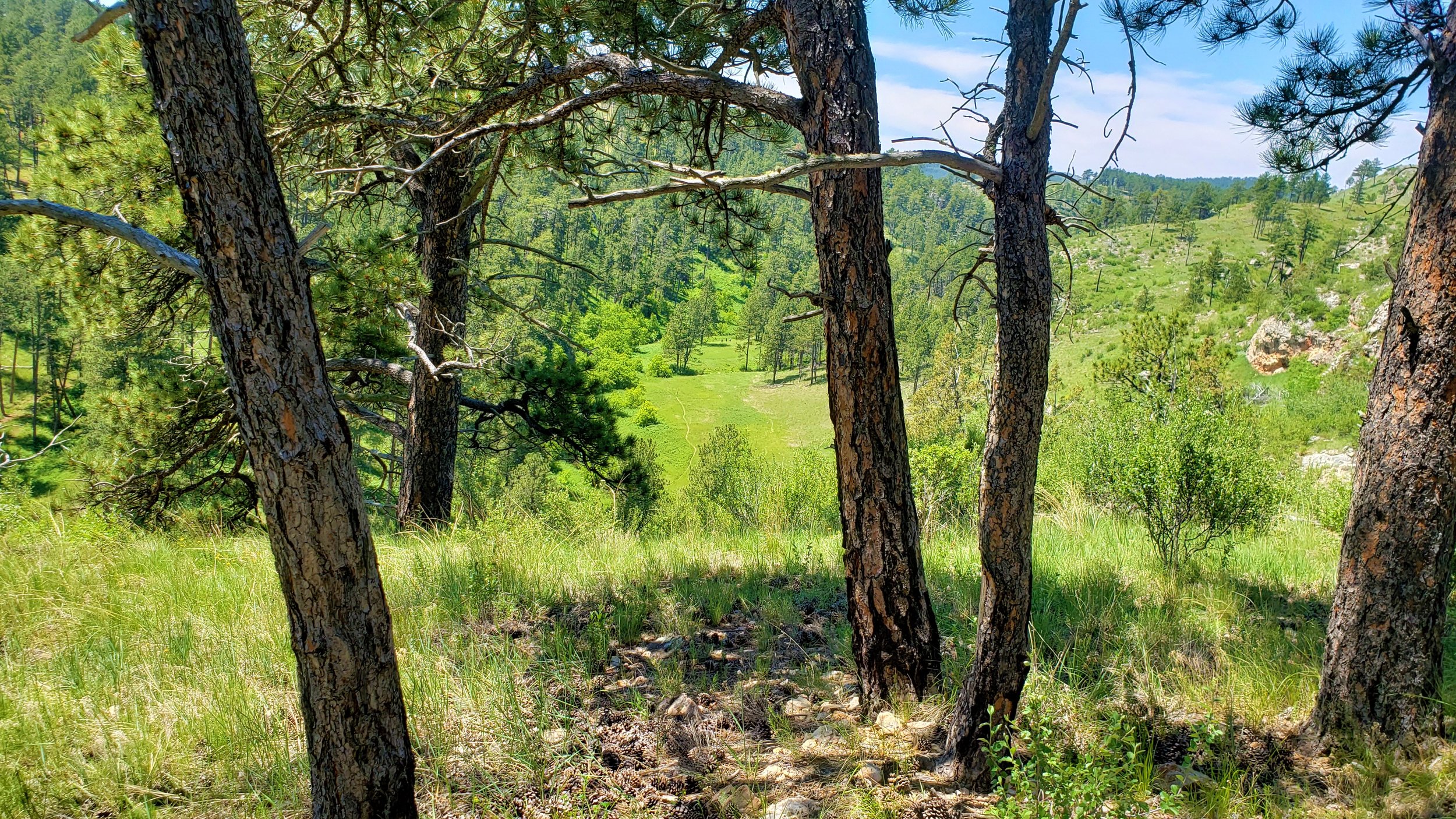
Shortly after the cave, the trail separates from the Lookout Point trail. At the intersection I look up the hill to the north and spot the post with the number 6 on it (#6 is the number for the Centennial Trail within the park). This begins a pretty steep climb out of the canyon of about 500 ft in a little more than a mile.

At this point, I had seen no wildlife. Then between miles 3 & 4, that changed. It started with the prairie dogs. The trail cuts right through the middle of them for about a mile and they are chirping at me the whole way.

Then I have my first buffalo encounter - a large male an 8th of a mile off the trail. I didn’t have to change course, I just watched him lay in the grass as he watched me walk on by.

About a mile later, I run into 3 more. This time they are right on the trail. Now I don’t know how you feel about buffalo, but they can be quite intimidating when your not protected in your car and there’s nothing to hide behind if they decide to charge. So, I reminded myself that they aren’t going to charge me unless they feel threatened and I gave them plenty of room as I watched them lay in the grass watching me walk on by.
Further up the trail I run into another large male, once again right on the trail. I give him plenty of room and I walk by as he lays in the grass seeming uninterested in me.
At almost 5 hours into the hike, I hit the Highland Creek Trailhead (entrance to Custer State Park) and after resting a bit, I head back looking for a place to camp.


I picked a campsite up on a hill that overlooked a valley that had a small creek running through it. I picked a spot that was high enough so hopefully no buffalo would not wander up to it, but low enough in case a storm rolled through.

After resting and eating, the sun began to set and that was when the show began. I walked out to the edge of the hill overlooking the valley because I could hear what I thought were all kinds of birds chirping, but as I got closer, I realized that it was all the prairie dogs in the valley barking away.

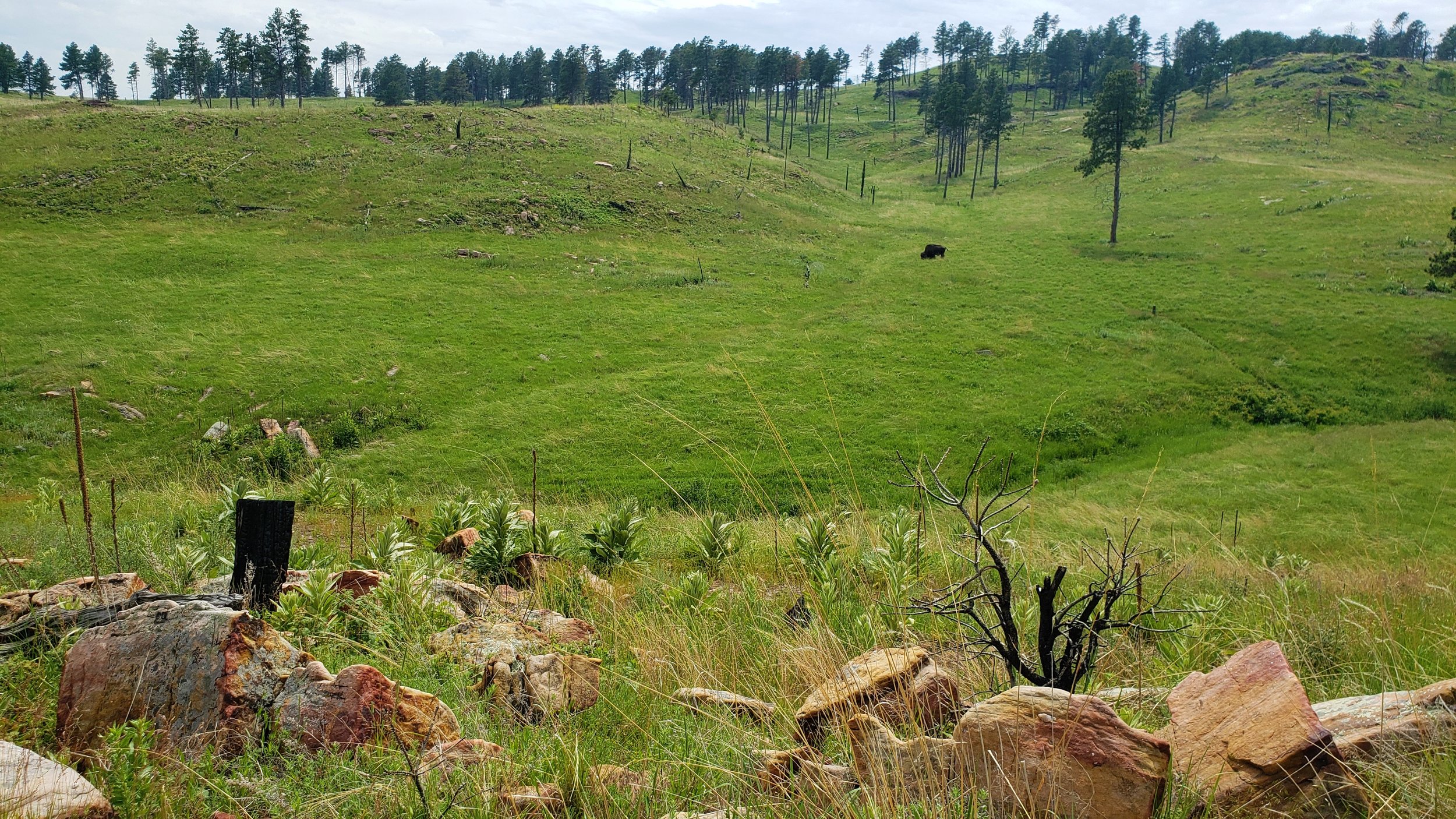
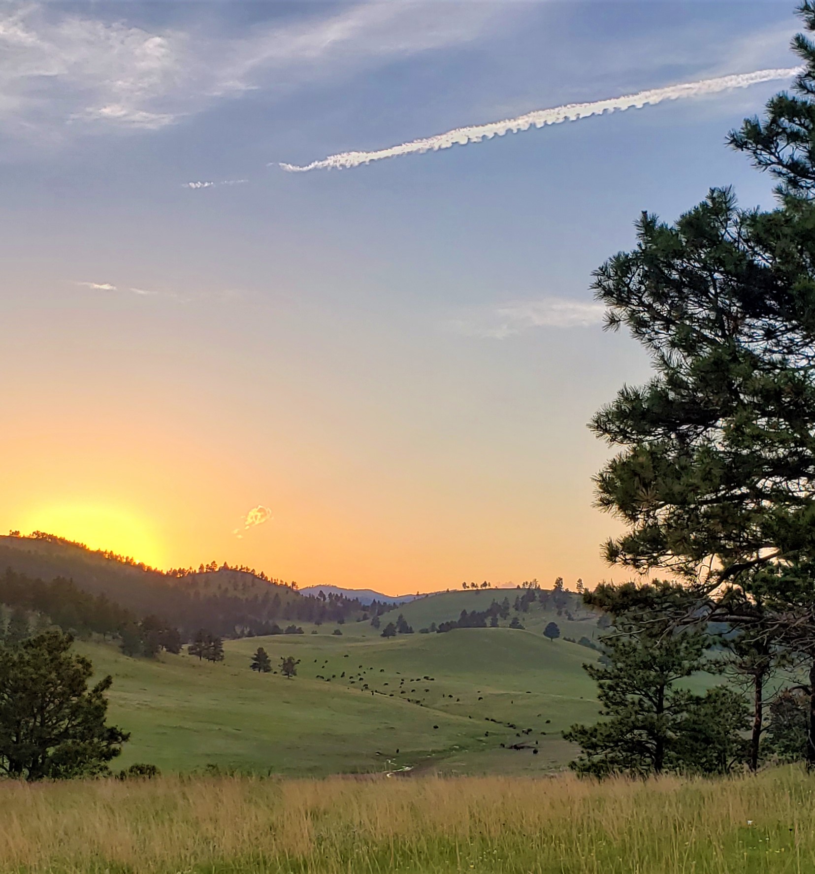
I then veered to the west so I could get a better view of the sunset and then I saw a small herd of buffalo in the valley. As I stood on the hill watching the buffalo work their way in front of me, several pronghorn antelope came walking by, headed to the creek to join six or seven others that were already there.
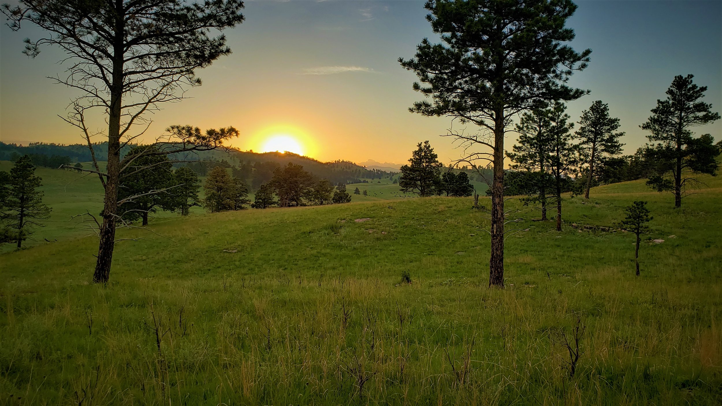
I stayed for a while longer, listening to the prairie dogs barking, watching the antelope running, and most of all hoping the buffalo stayed in the valley (which they did), but the show wasn’t quite over yet. After falling asleep for a bit I woke up to close the flaps on my tent and when I looked up, I saw what was probably the brightest stars I have ever seen. There was not a cloud in the sky, just stars everywhere.
After waking the next morning, I walked to the edge of the hill again to see what was in store for me because I was going to walk through that valley on my way back. There wasn’t a buffalo in sight, the prairie dogs were quiet and the antelope were gone also, but a fox did run quickly past me about 30 yards away.

The trip back was mostly uneventful. Since the Centennial Trail and the Lookout Point trail share the first 1.5 miles I decided to take the lookout point trail back when I reached where they came together. The Lookout Point trail is a loop that would add another couple of miles onto my hike, but it ends at the same trailhead as the Centennial Trail.

Once on the Lookout Point trail, there was a pretty steep climb that you would think would lead you to a “lookout point” but it mostly just leads to a high prairie. There are some nice views up on the prairie, but no real point that looks out over anything. After skirting by 4 more buffalo, I made it back to my truck and headed to the Rankin Ridge fire tower.

Lookout Point

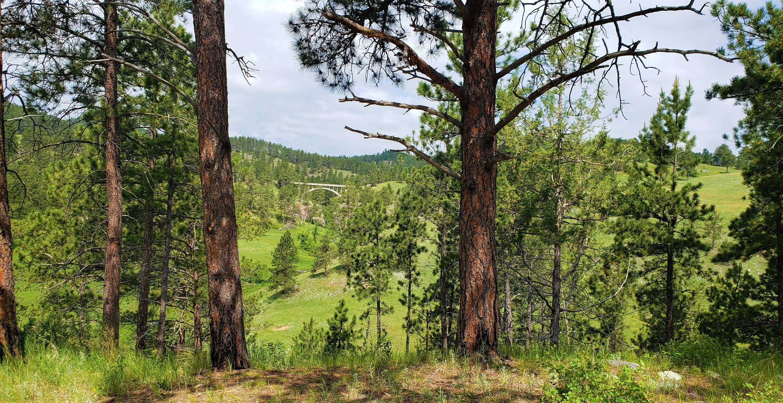
Very cool old bridge in the distance.
The night before, when I was camping, I could see the fire tower from my tent site, so I wanted to go see it close up. The tower, which is only about 5 miles away from the trail trailhead is no longer open to the public, but it sits at the high point of the park and is accessed via a short interpretive hike.

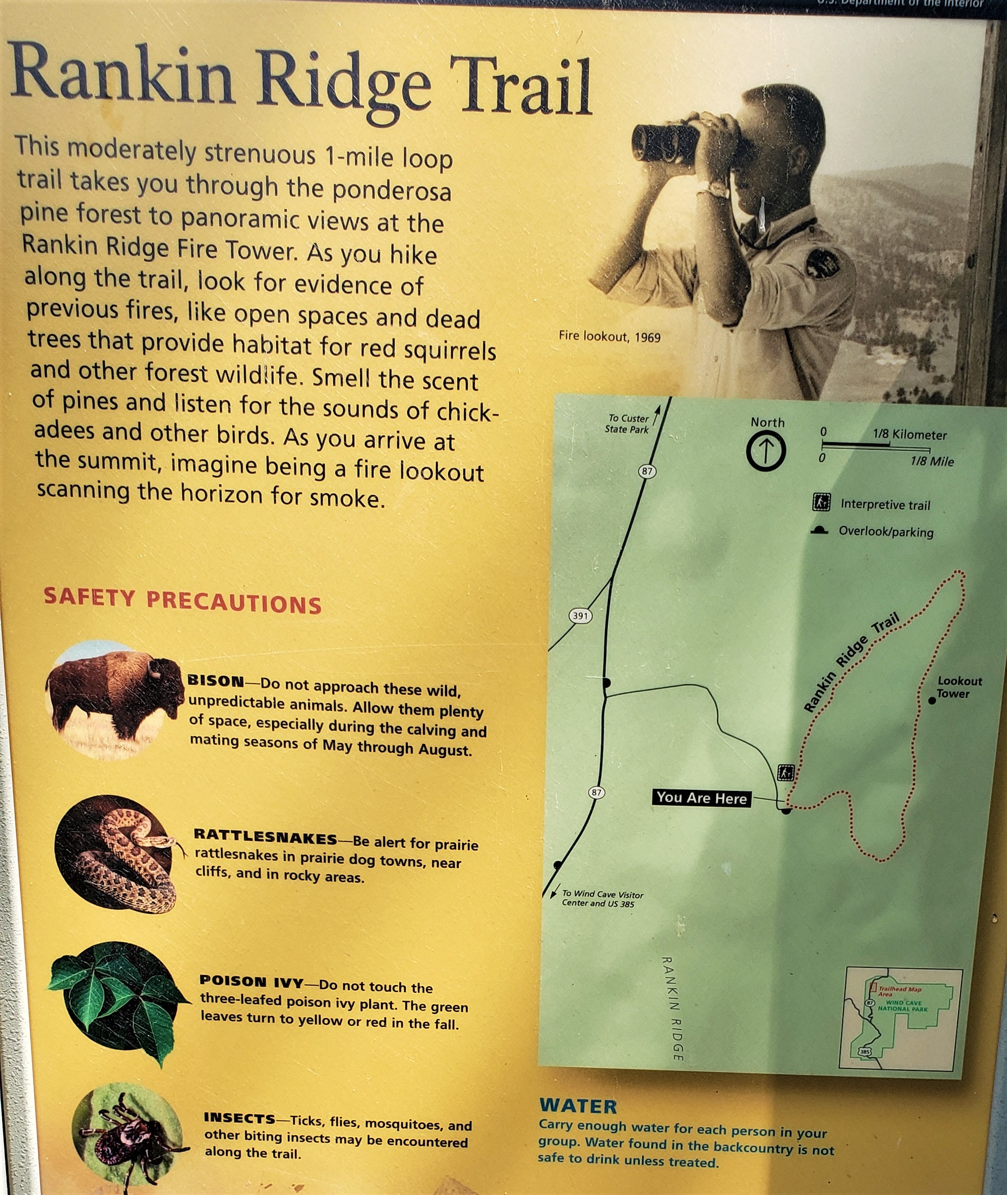

Hike up to Rankin Ridge Tower.

I reached the tower and sat on a bench that overlooked the whole area that I had spent that last 24 hours in. I could see where I camped and the valley that provided me with such memories the night before. I could see buffalo in the distance and I could see for miles beyond that. All in all, a very fitting way to end my time in Wind Cave National Park.
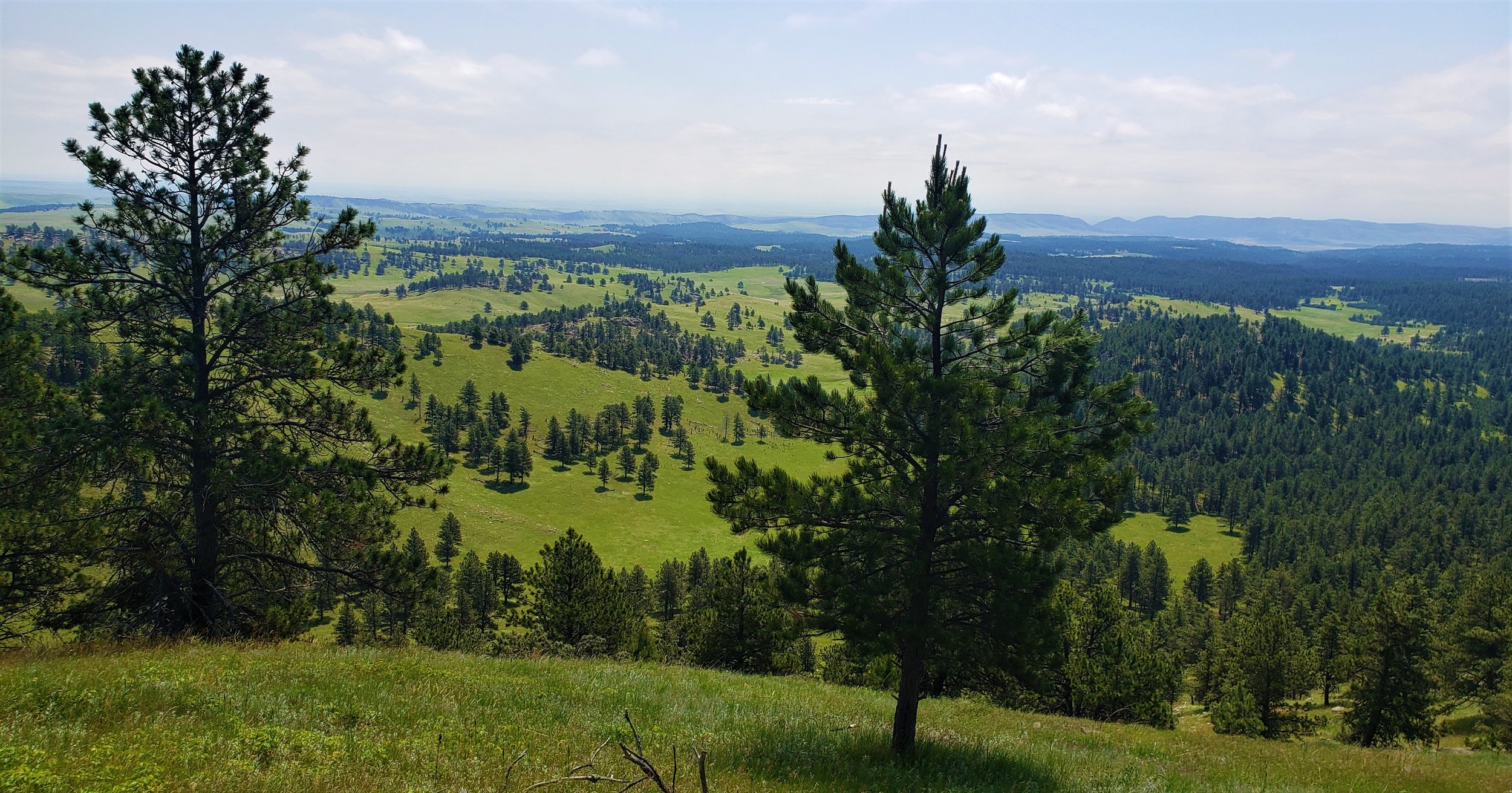
The beautiful valley below.