
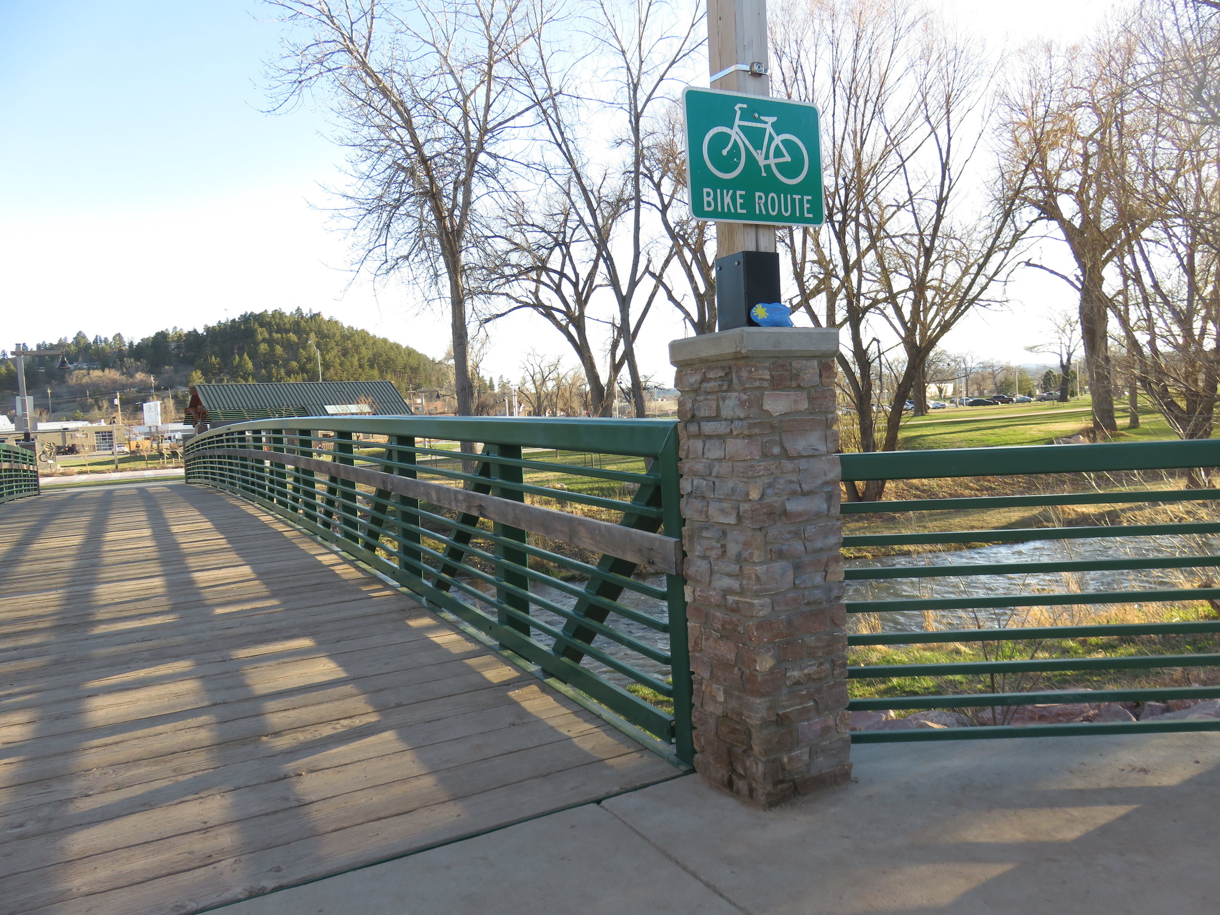
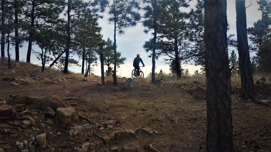
Cross the bridge to start your bike ride.

Use caution especially in the summer.
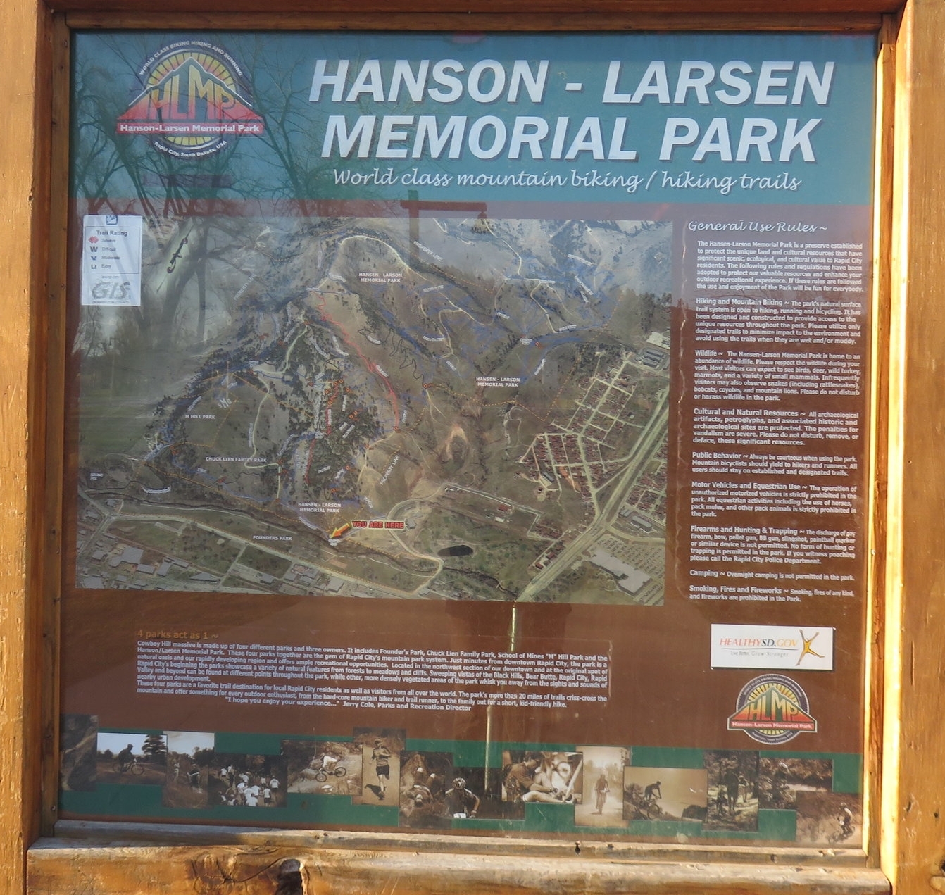
Hanson-Larsen Memorial Park
This park is a lovely 320 acres of 20+ hiking and biking trials right in downtown Rapid City. The main access is off of Founders Park on Omaha St just west of I-190. We’ve included our GPS tracks to all the trails that we have posted, along with descriptions for each trail. If you want a good overall map of the park, I would recommend the one on Trail Forks. I’ve included a link to the map below. If you want a map that you can access on the trail and it will show your location, then I suggest Using the Avenza Maps App. The Hanson-Larsen Map is a free download and is very useful when you’re on the trails.
Far West Trail
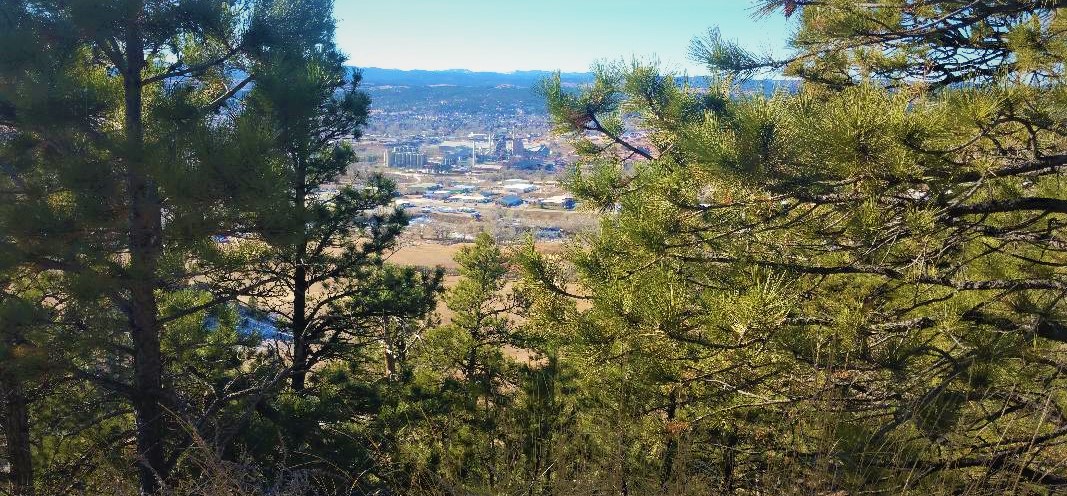
This is one of my favorite rides. If you combine the Far West Trail with the Sunset North Trail you get 2 1/4 miles of climbing, but then you get 2 1/4 miles of nice downhill. So, you get a good workout and then you are rewarded with a fun ride down. If you don't want to ride the same trail down then you can combine it with the Sun Climb Trail and then have access to all the trails on the east side of the hill.
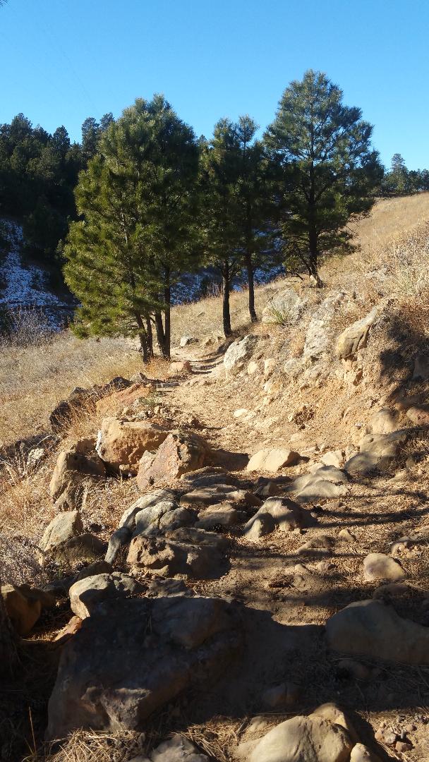
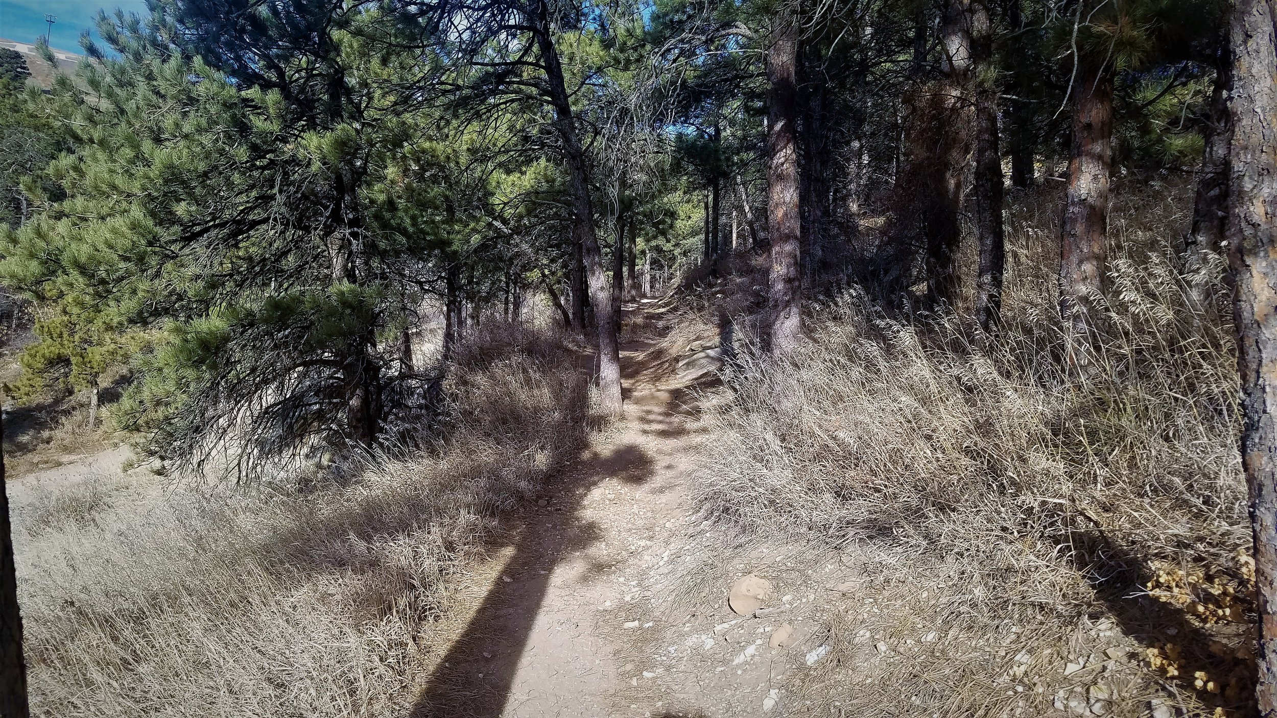
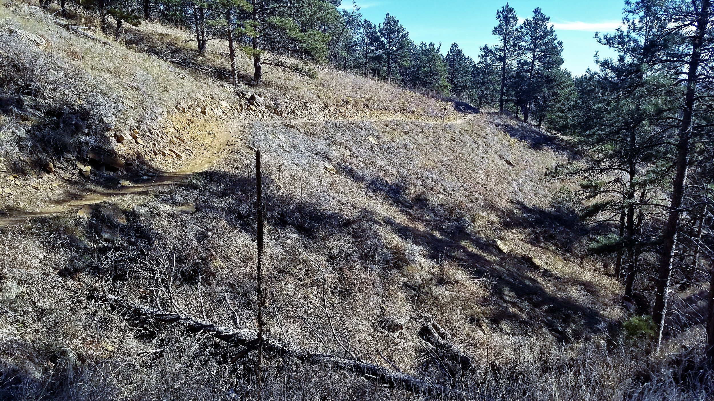
Lots of curves and it goes up and up and up forever.

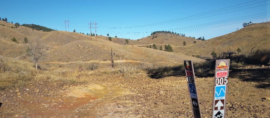
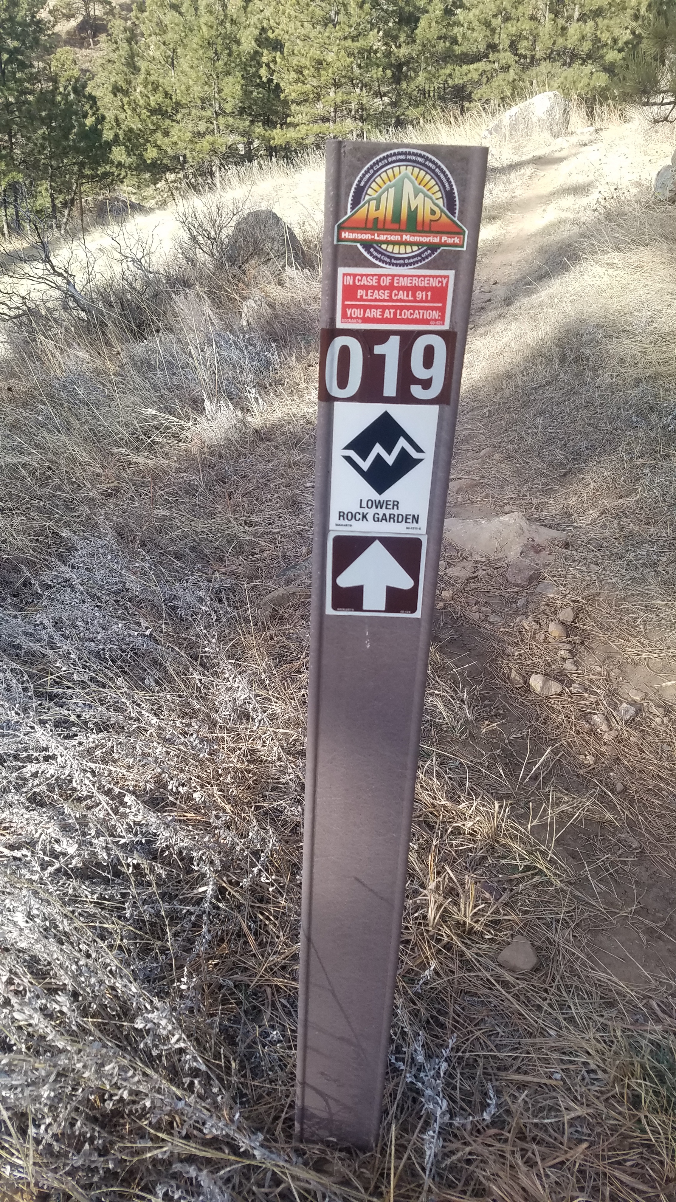
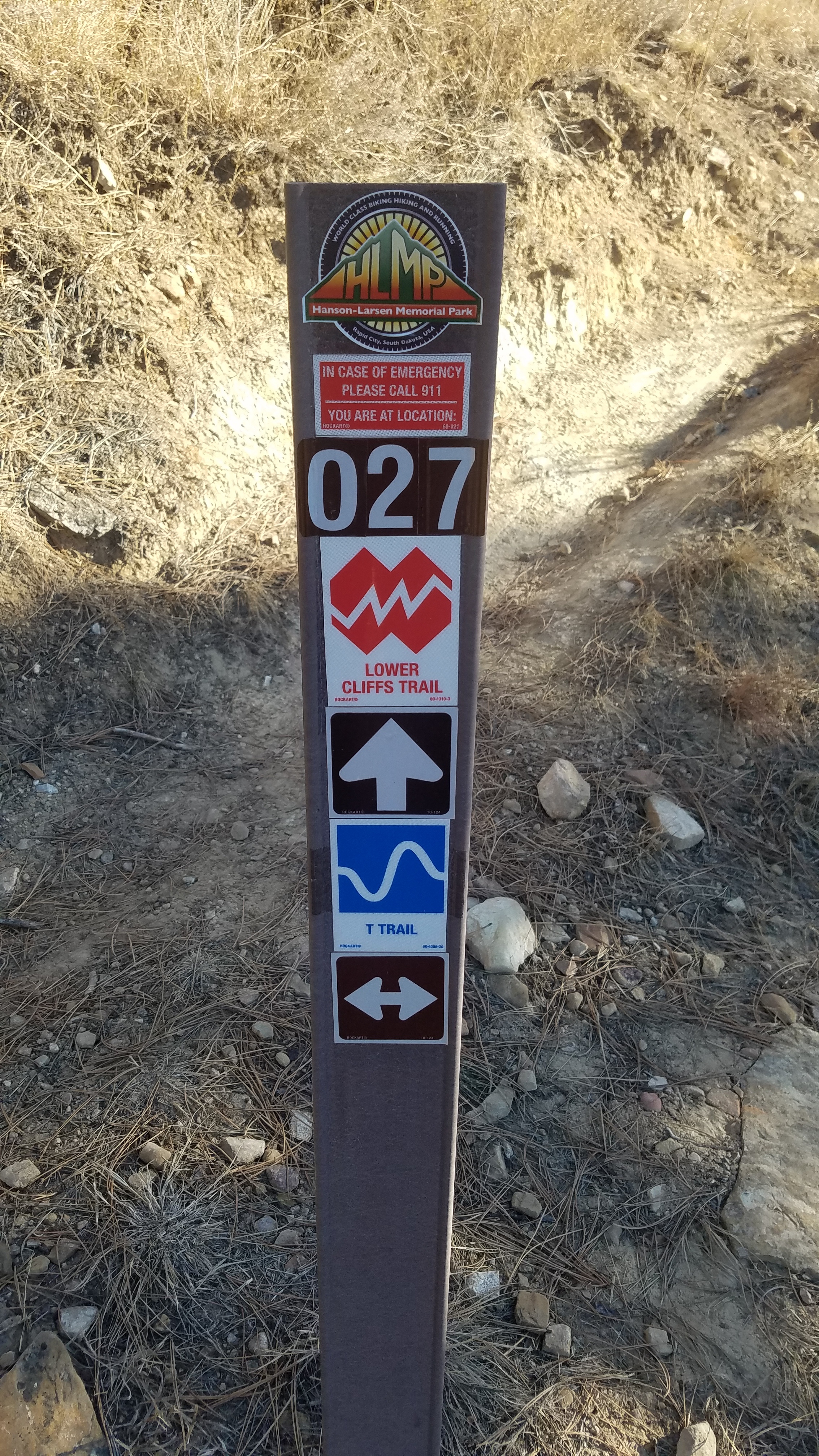
Signs to let you know where you are and for emergencies.


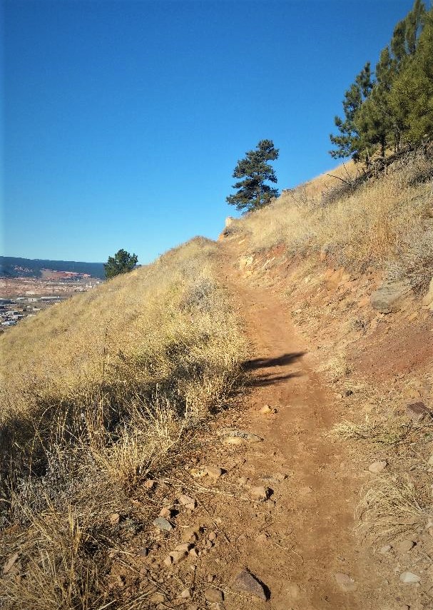
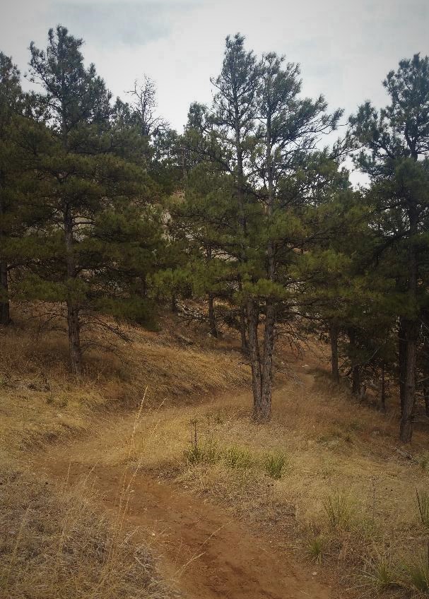
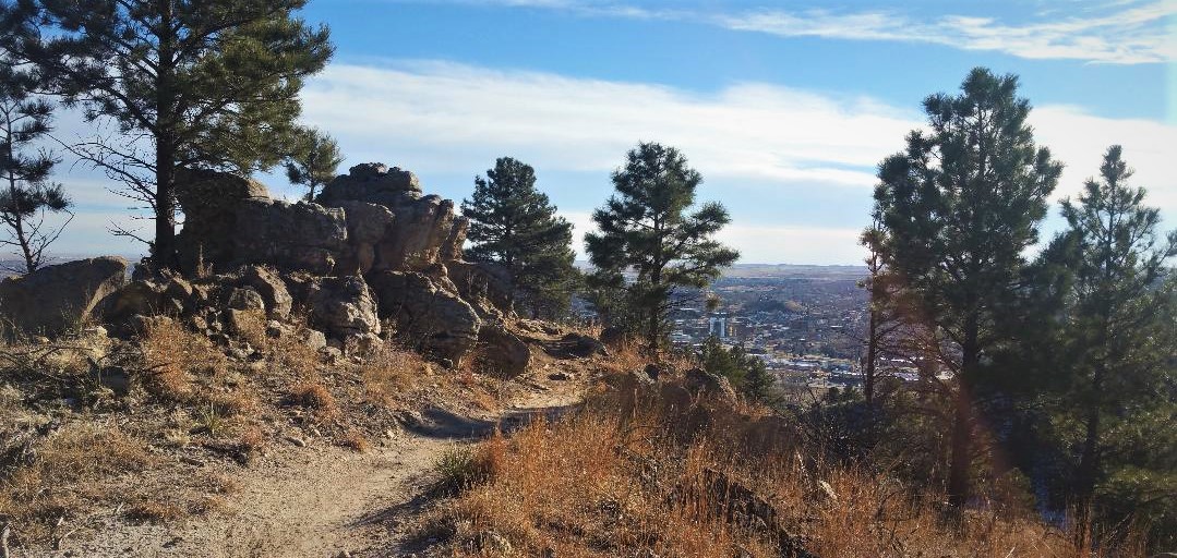
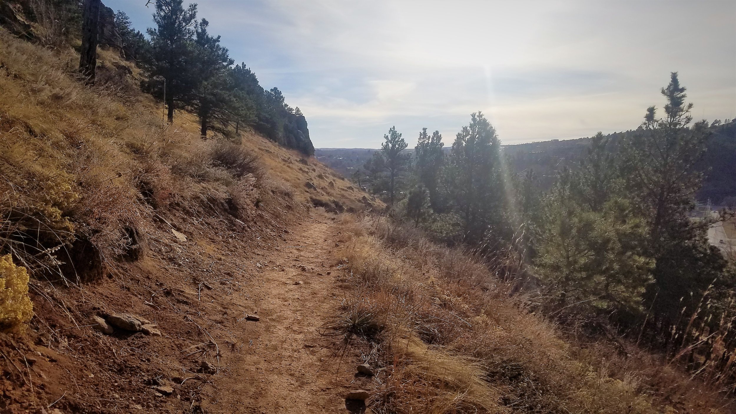
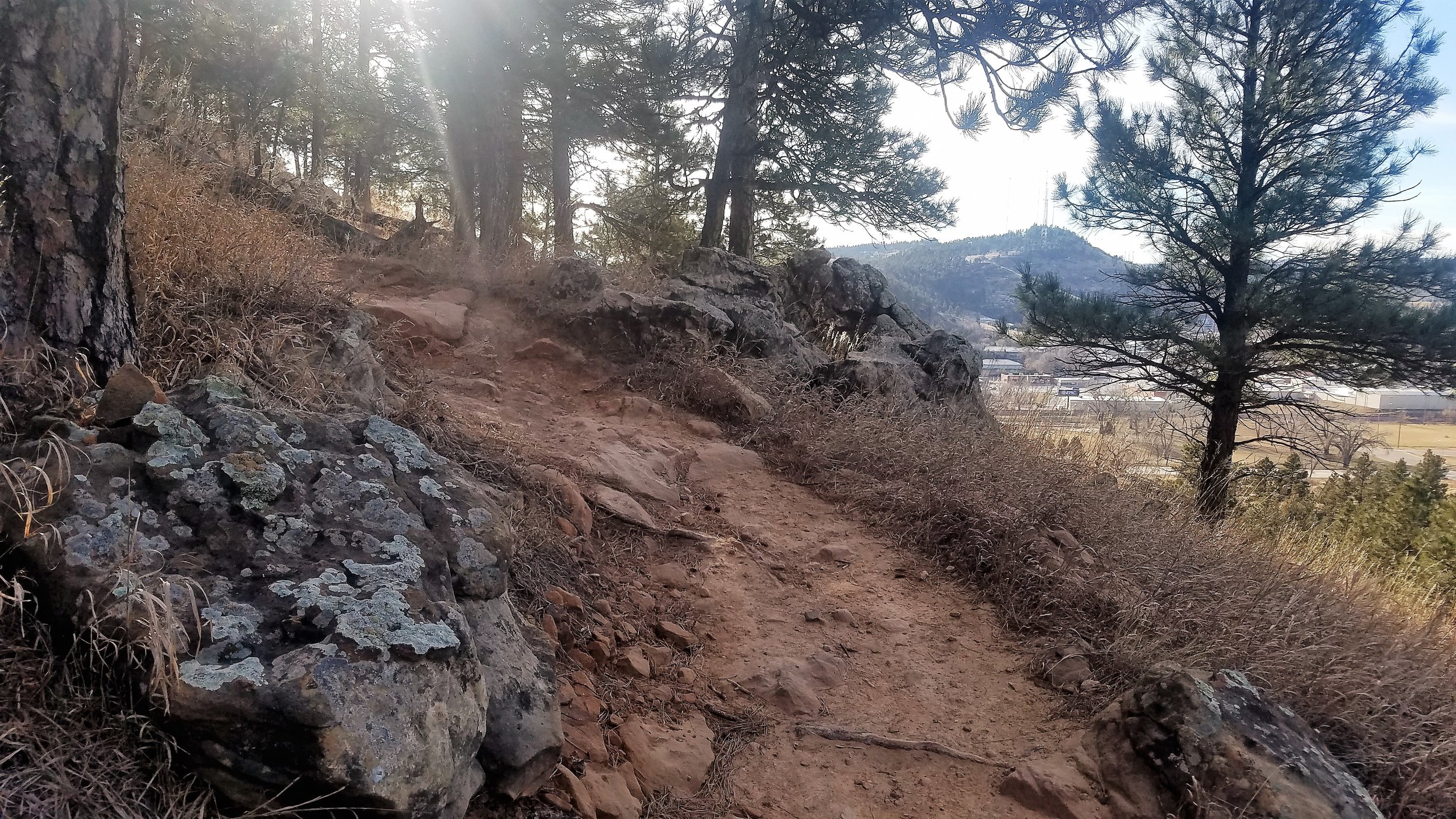
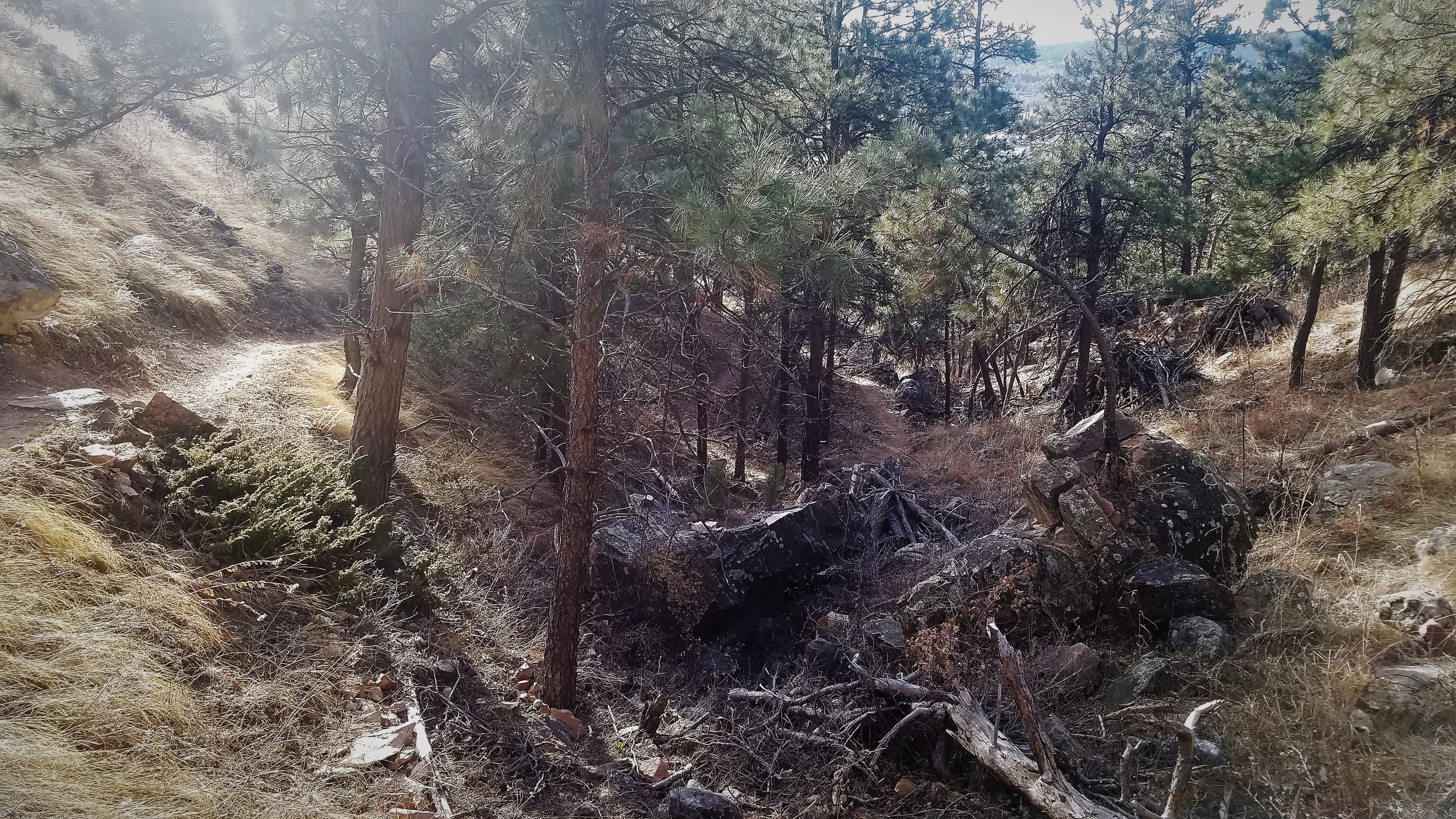
Trail follows the hillside - pretty cool views.
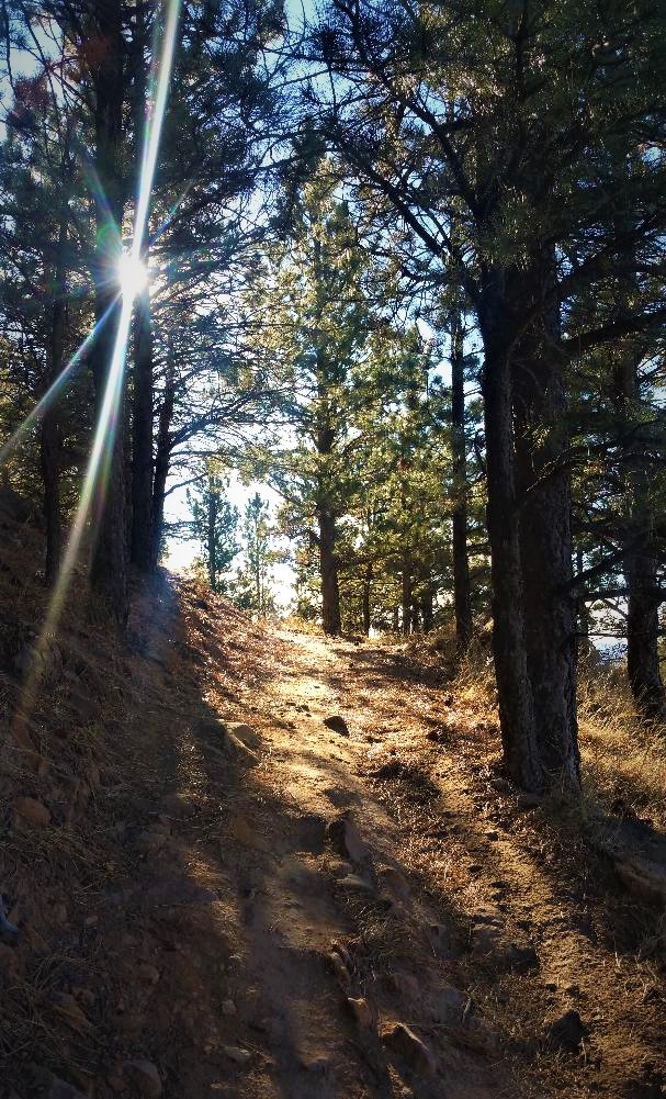
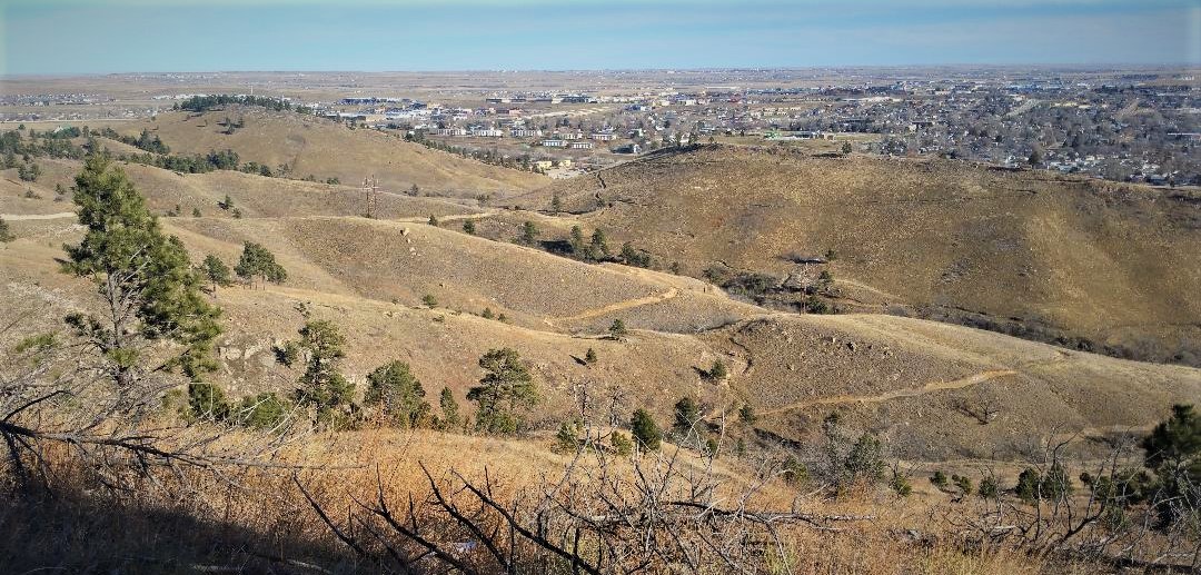
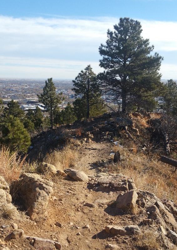
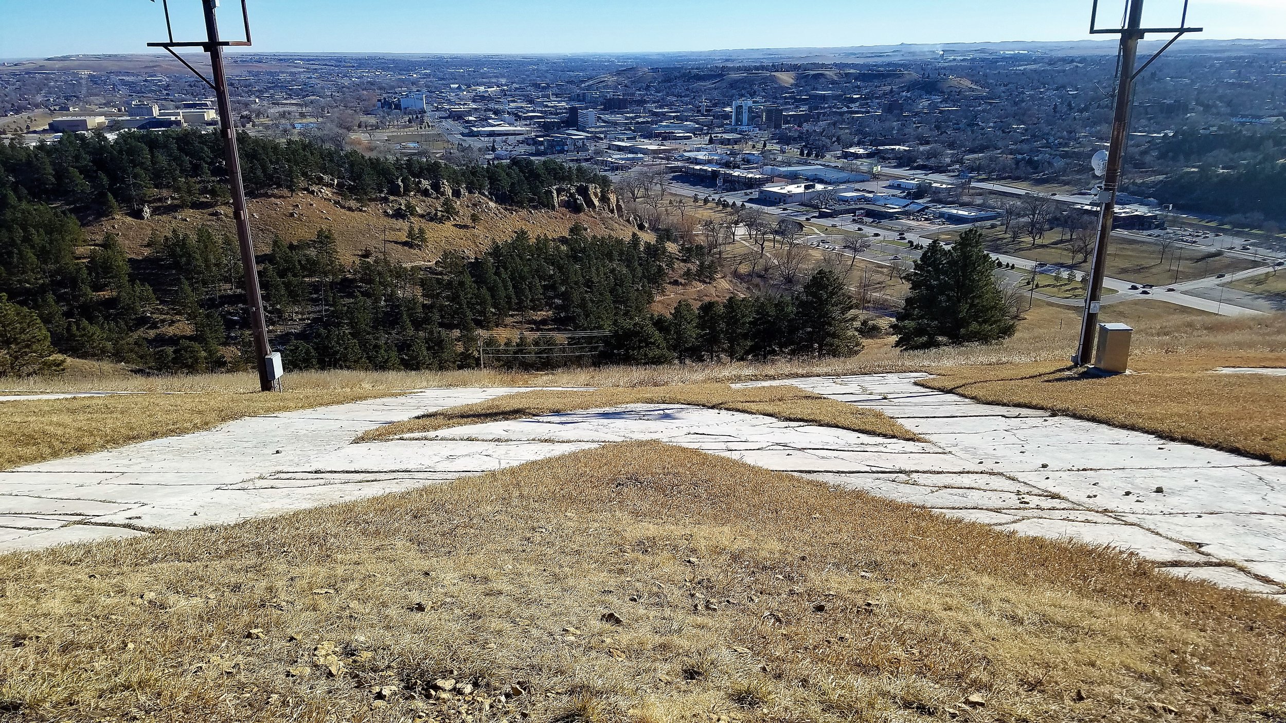
Near the top of the hill.
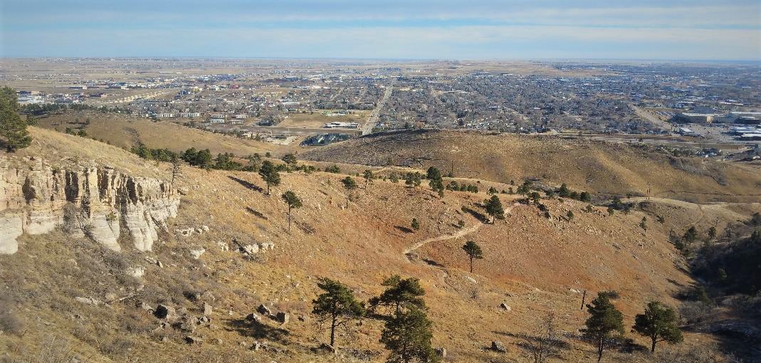
View from the top looking Northeast.
View from the top looking Southwest.
Far East Trail
This is a little easier ride. It starts out with a stiff 1/4 mile climb, but then stays fairly level and follows the side of the hill. at the end of the Far East trail, take the North loop, then when it loops back around, take the Founders Valley trails back to the beginning.

Sun Climb Trail
The Sun Climb trail is a little less than one mile long. You can pick it up a couple of miles into the Far East Trail. It’s a black diamond,with the bottom half not too technical, but that is where you do most of the climbing. The top half is the technical section. There are a number of trails to continue on once you reach the top.
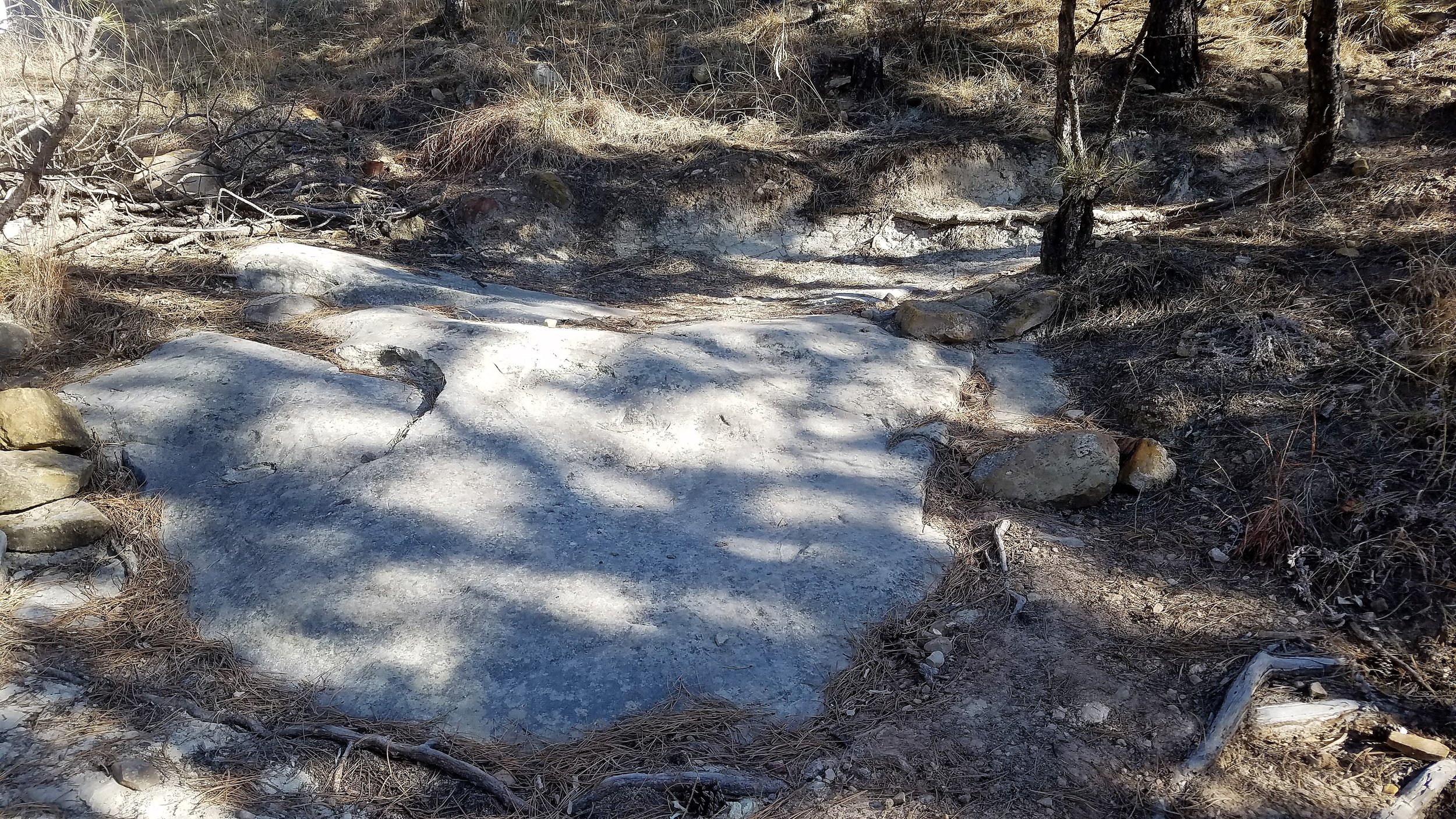
The Blizzard Trail
The Blizzard Trail is a short .4 mile trail that takes you to a hub that connects to a number of other trails on the hill. There is nothing too technical but it is a pretty good 200 foot climb. You get to the Blizzard Trail by taking Cowboy hill road for about a 1/4 mile.


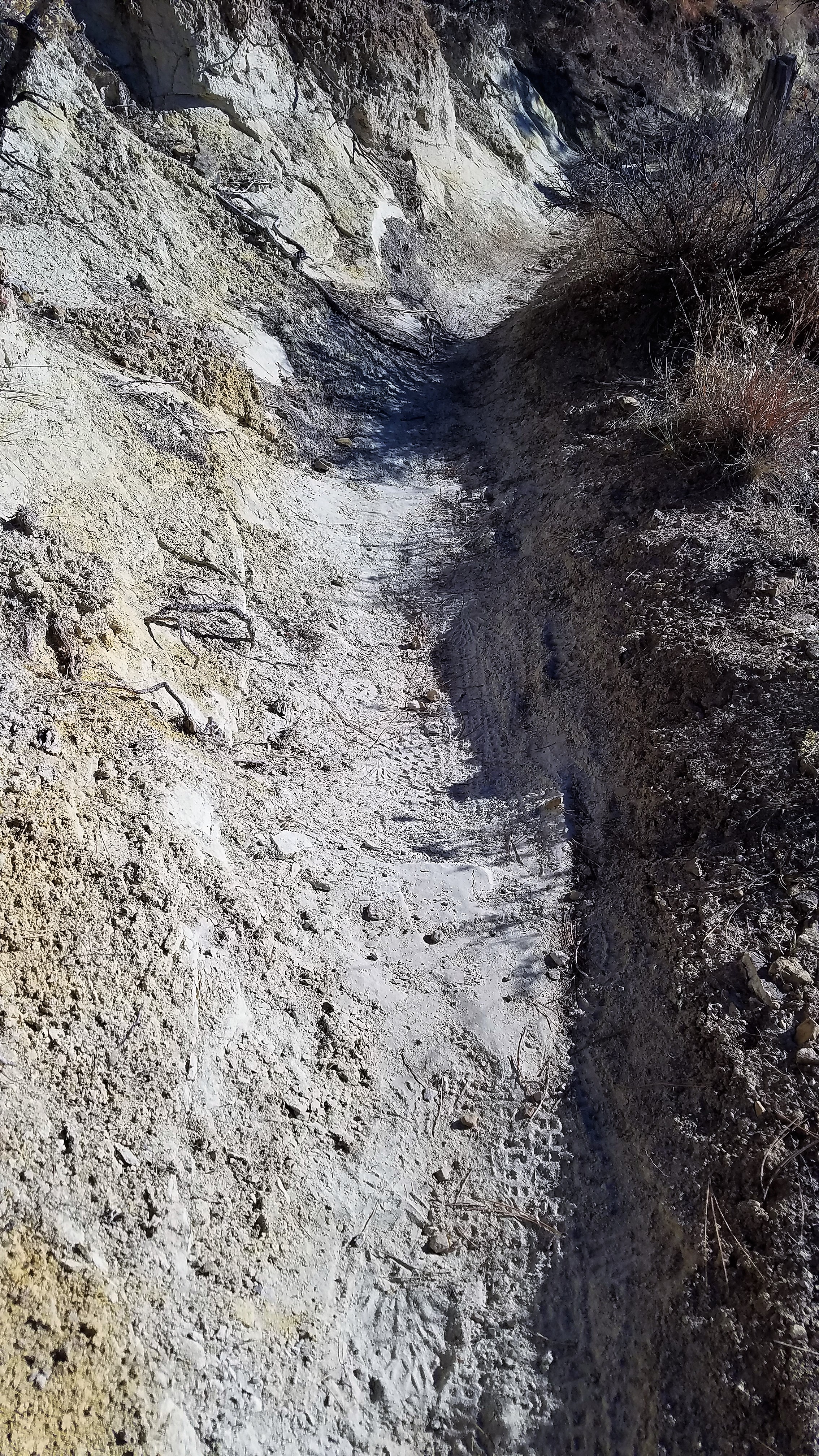
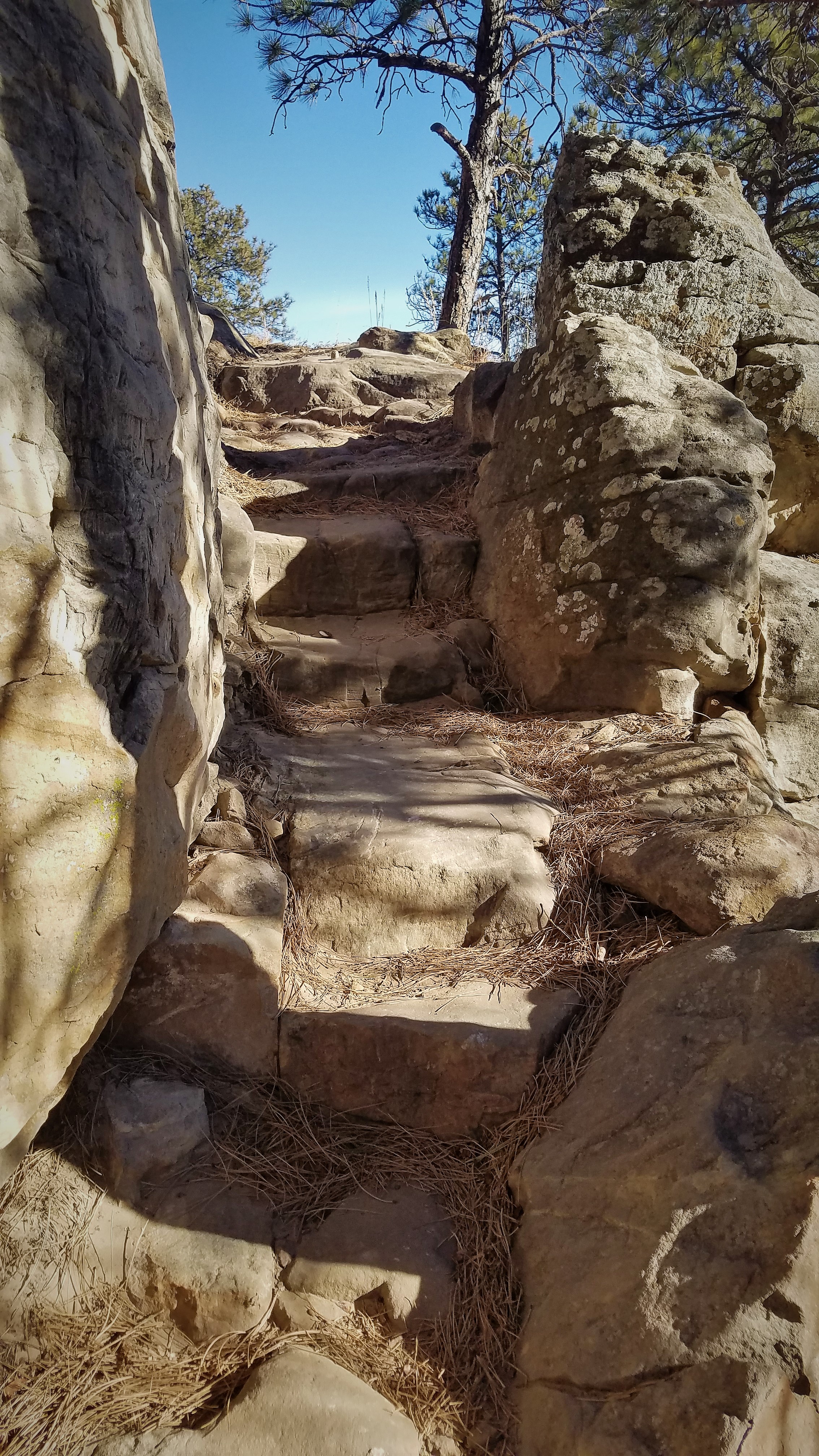
The Lower Rock Garden Trail
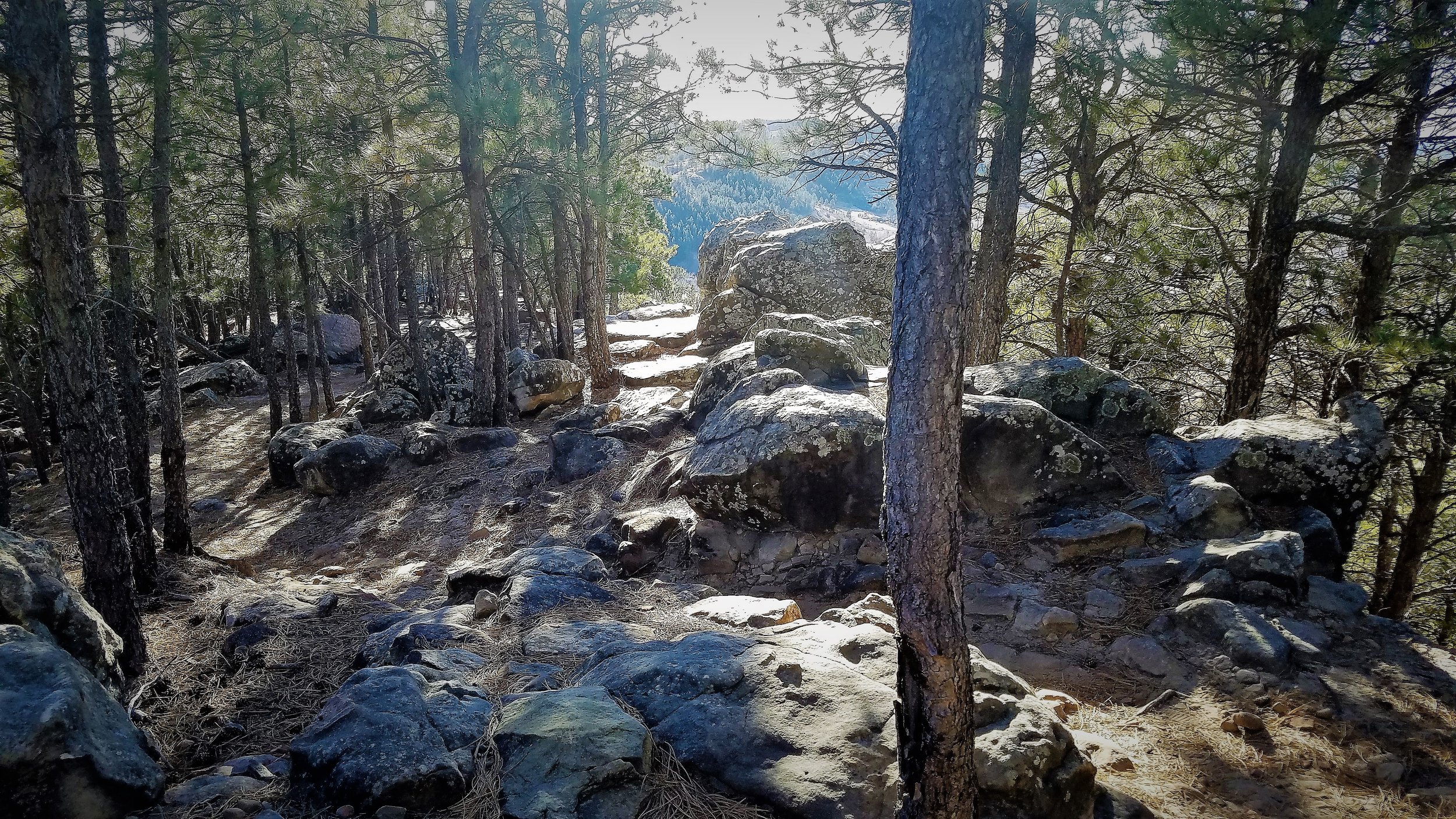
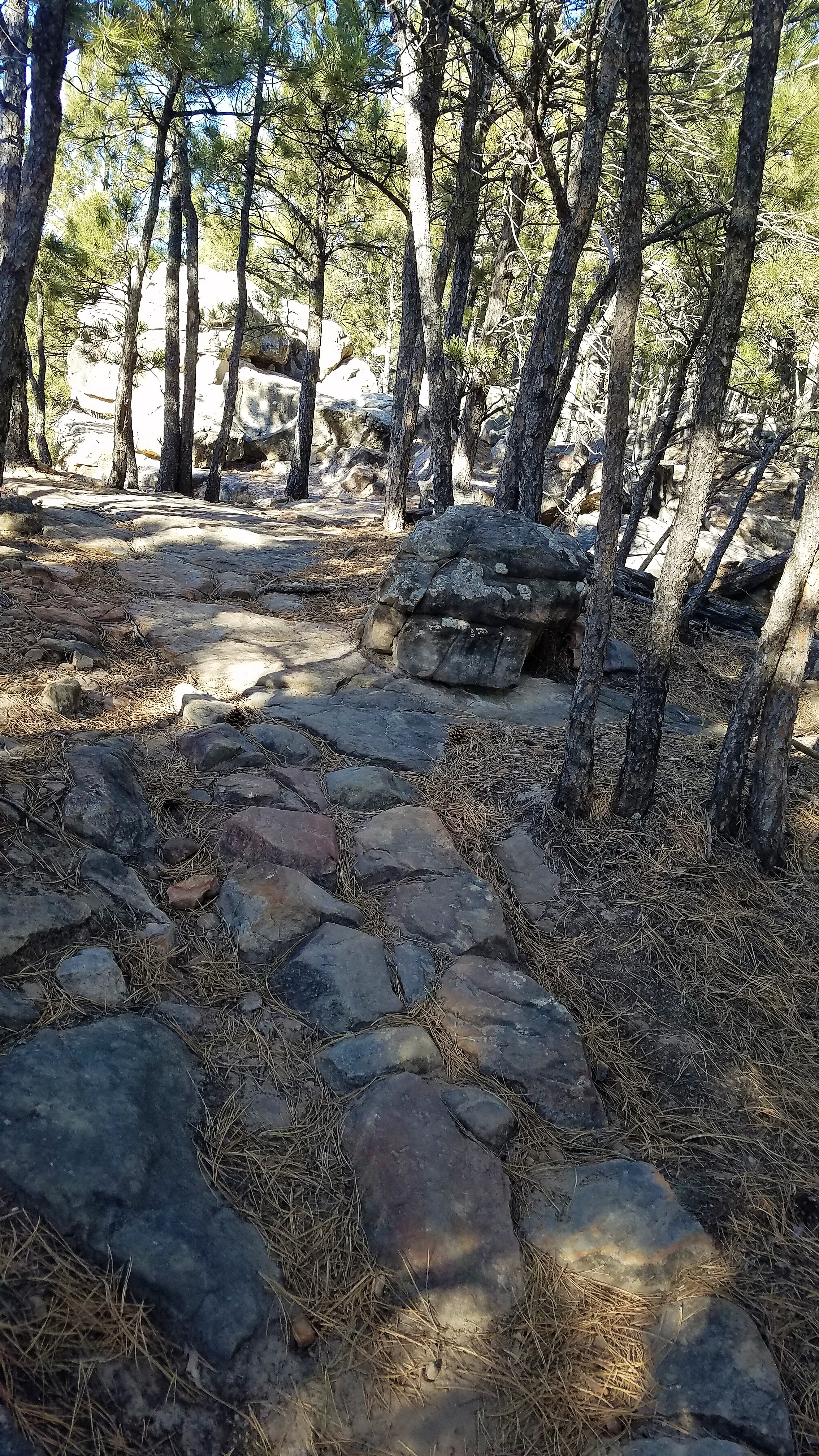
The Lower Rock Garden is a another short .4 mile trail that some maps may say is a “Red” but the signs have it as a “Black”. I would say it’s probably closer to a “Black”. The top half has some exposure on a thin trail and then it follows a gully into some of the more technical stuff. The maps also having it split in half, with the top half being the Lower Rock Garden Trail and the lower half being the Old Trail, but the signs will say The Lower Rock Garden Trail. The bottom half of the trail doesn’t have anything too technical.


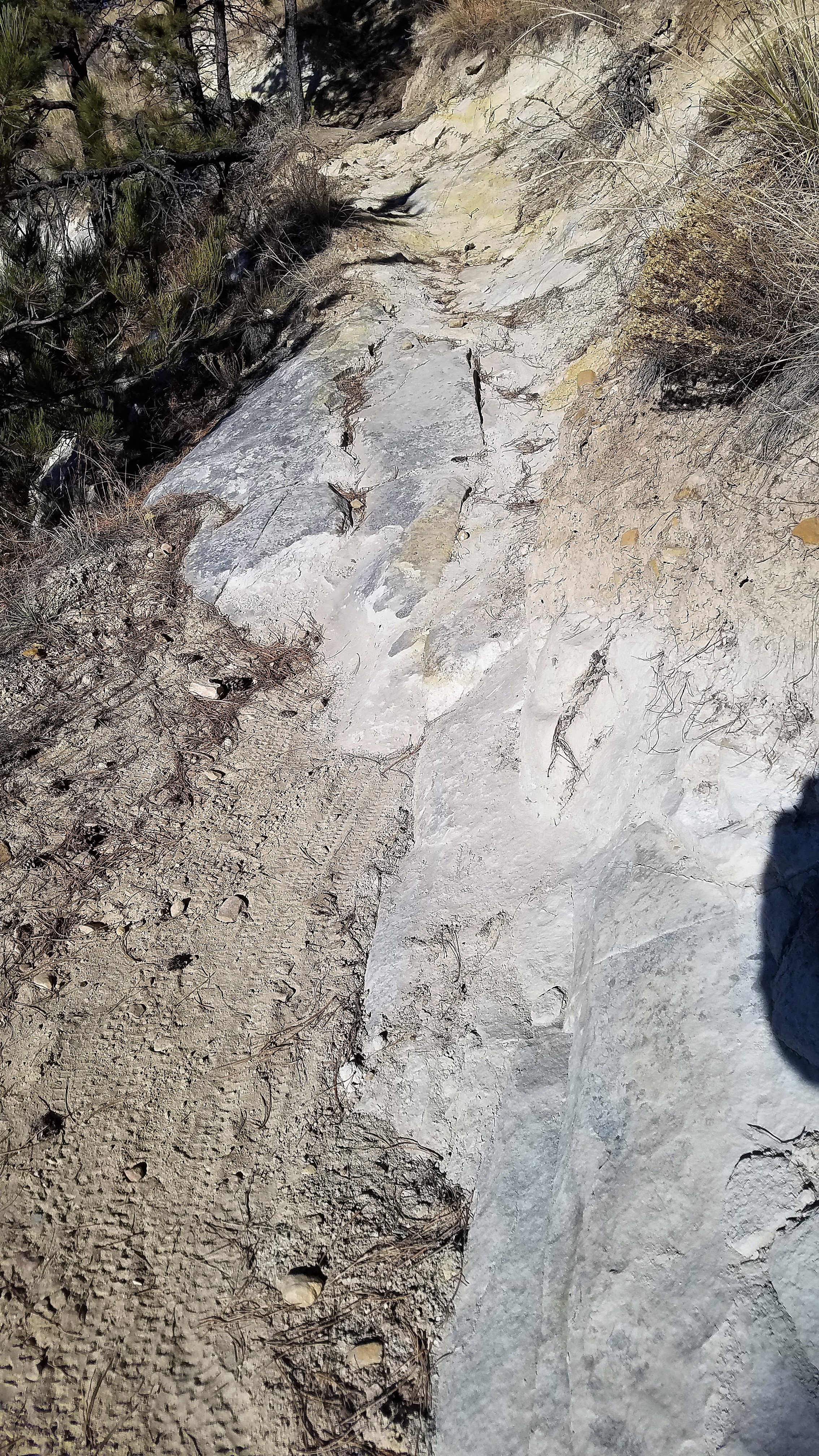
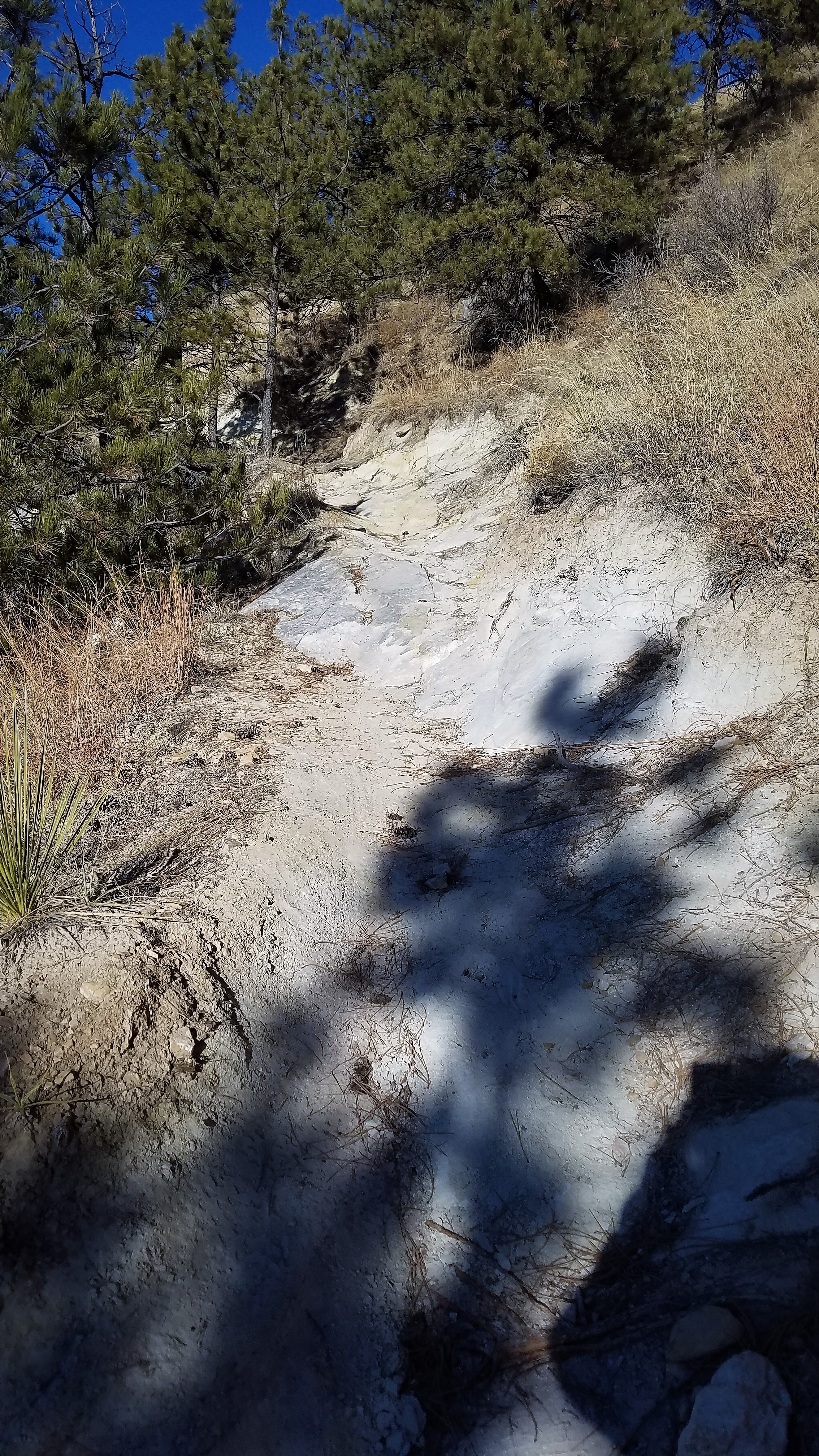
The Cliffs of Dover Trail
The Cliffs of Dover Trail gets it’s name from the white rock and sediment on the trail. This is another case where the maps and the trail signs differ. The Maps call it “The Cliffs of Dover and have it as a “Black”, the trail signs call it The Lower Cliffs Trail and have it as a “Red”. I would say the lower third of the trail could qualify it as a “Red” but once you get past the White Cliffs of Dover, it is a pretty straightforward ride with the only tough part being the climb. The bottom of the trail comes off the T Trail, while the top half connects with the Far West Trail.
M West
This is a short trail that when combined with the top section of M East, loops around the giant “M” on the hill.
M East
M East can only be accessed by connecting t with other trails. It’s a simple .4 mile trail that takes you to a number of other trails at it’s lower end or to the “M” at it’s upper end. You can connect with several other trails at the top also.

Upper Rim Trail
The Upper Rim Trail is a “Red” and it deserves it, but it’s also one of the coolest places in the park. Even if you don’t have the skills to ride it, you won’t be disappointed if you hike it. The middle of the trail offers some beautiful resting and viewing spots. So, take this trail one way or another, you’ll be glad you did. Probably the easiest way to get to it it to take the Blizzard trail which will connect you to the start of the Upper Rim trail.


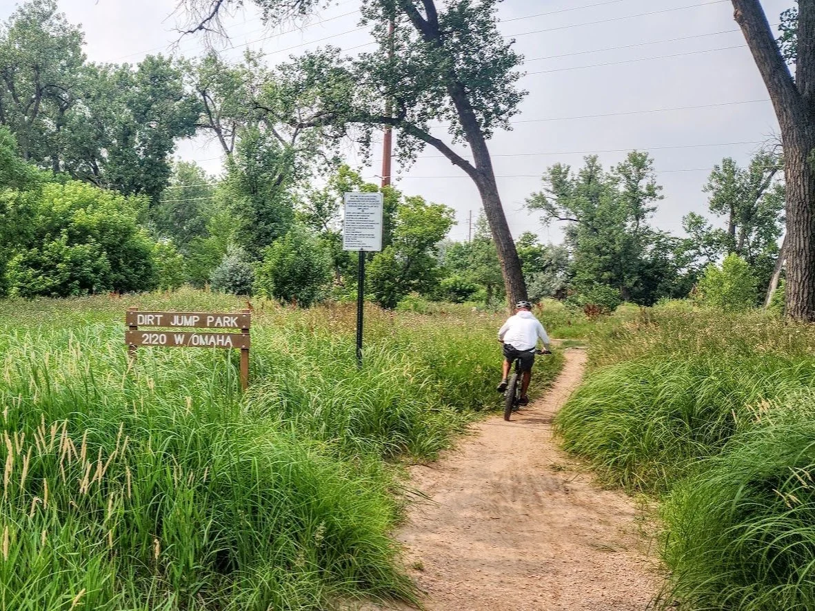
Dirt Jump Park
Located just west of Founder’s Park in Rapid City.