
Boulder Hill TH To Springcreek/Loop B
The Boulder Hill Trailhead is a little harder to get to but it does give you access to several trails and has a nice parking lot. You can get to it via Boulder Hill Road using either Sheridan Lake Road or Highway 16. The Spring Creek Trailhead is can be accessed just off Sheridan Lake Road. The trail is about 5 miles one way, or 10 miles round trip. If 10 miles is too long of a hike, you can leave a car at the Spring Creek Trailhead. The trail is fairly easy with a few minor descents and climbs but the hard part is navigation. Because the trail is navigating private land, there are many points where the trail veers off from the trail or road that you are on. There are also a lot of game trails or vehicle tracks going in different directions that make navigating difficult. There are signs, but some are knocked down or hard to see if you’re not paying attention, so a GPX track is suggested. Once you get to the Spring Creek Loop B intersection, turn on to Loop B and the trailhead is about a quarter mile down the hill. This section probably isn’t the most scenic section and time on the actual flume is very limited.
Navigation and signage
Generally marked by trail signs at major junctions, but some spur connections and old mining roads can be confusing. Carry a current trail map or GPS track.
Cell reception can be spotty - download maps offline if you rely on phone navigation.
Water and supplies
No reliable water sources on the trail. Carry sufficient water for the round trip, plus snacks and basic first-aid supplies.
No services at trailheads -plan accordingly.
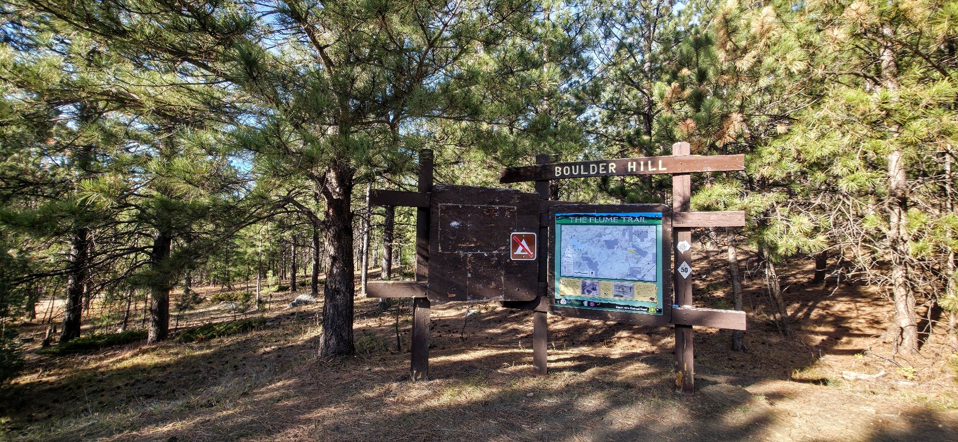
Beginning of the trail.
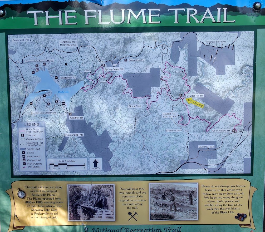
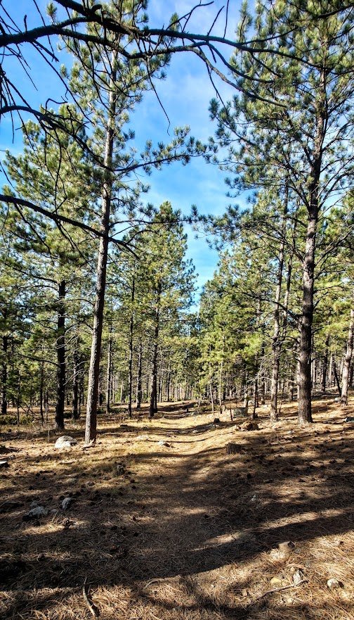
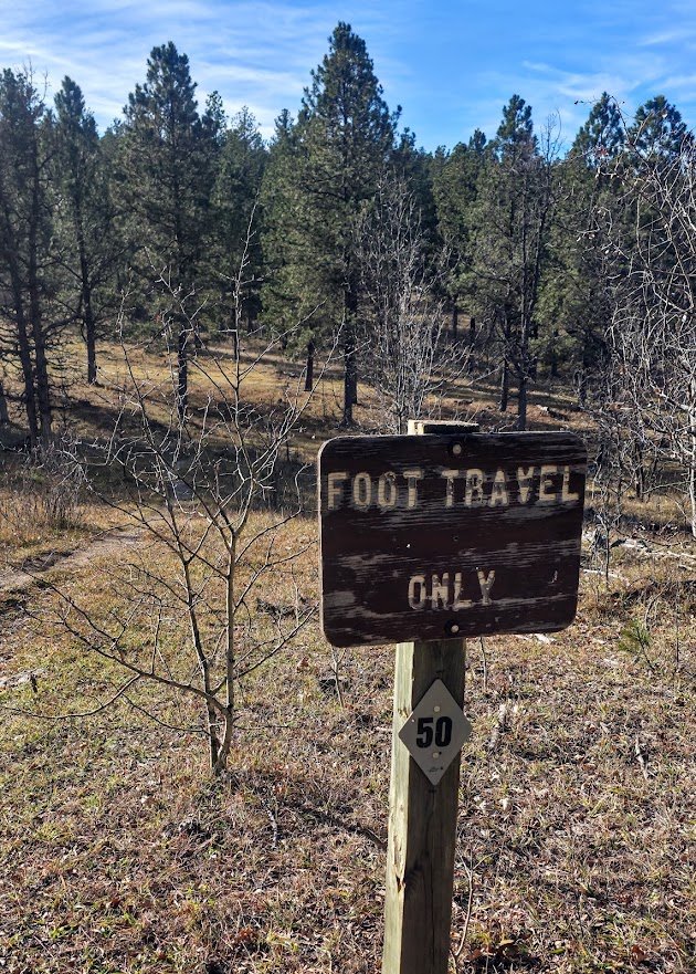
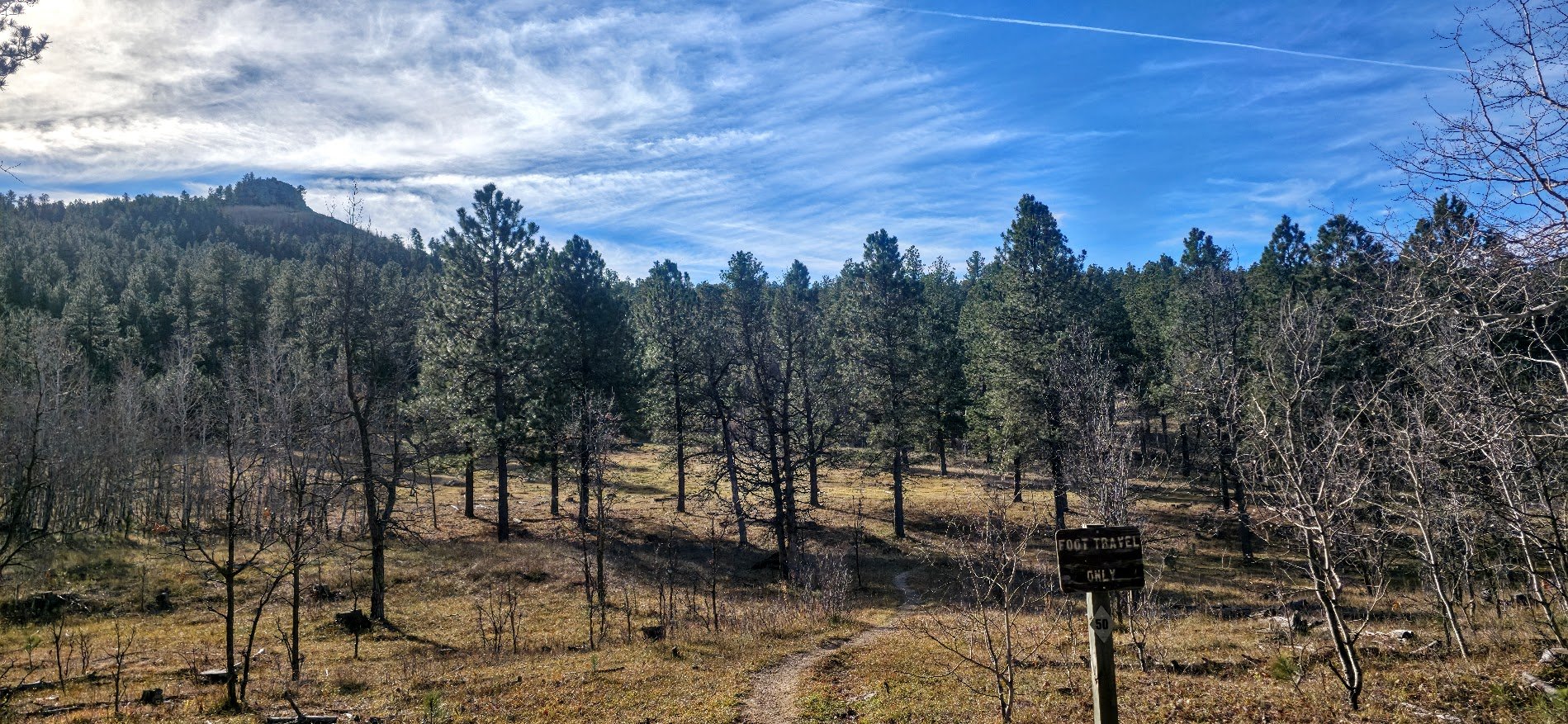
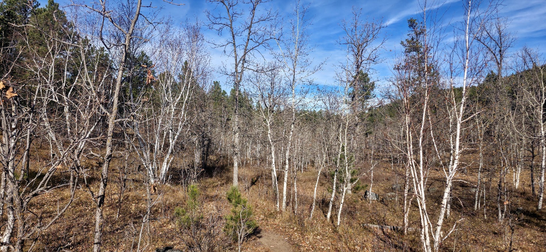
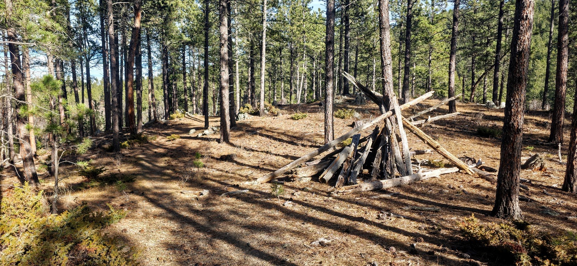
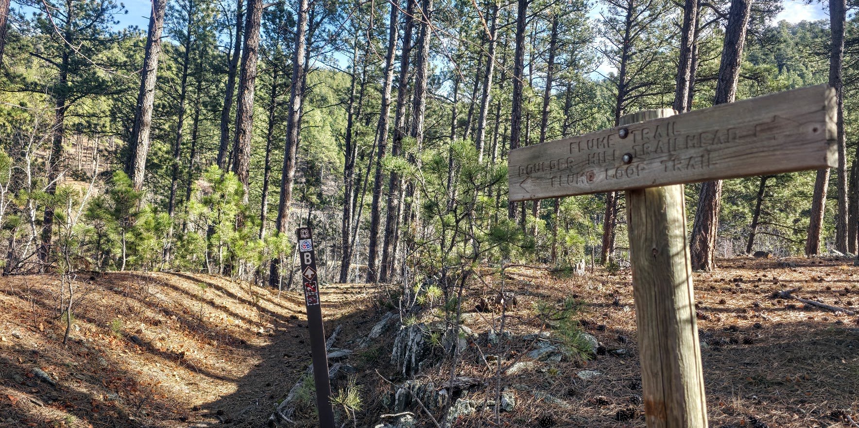
The trail to the right goes to Loop B which is the loop that goes around Boulder Hill. This is not the same Loop B where we will be ending up today which is a part of the Springcreek Loop Trail.
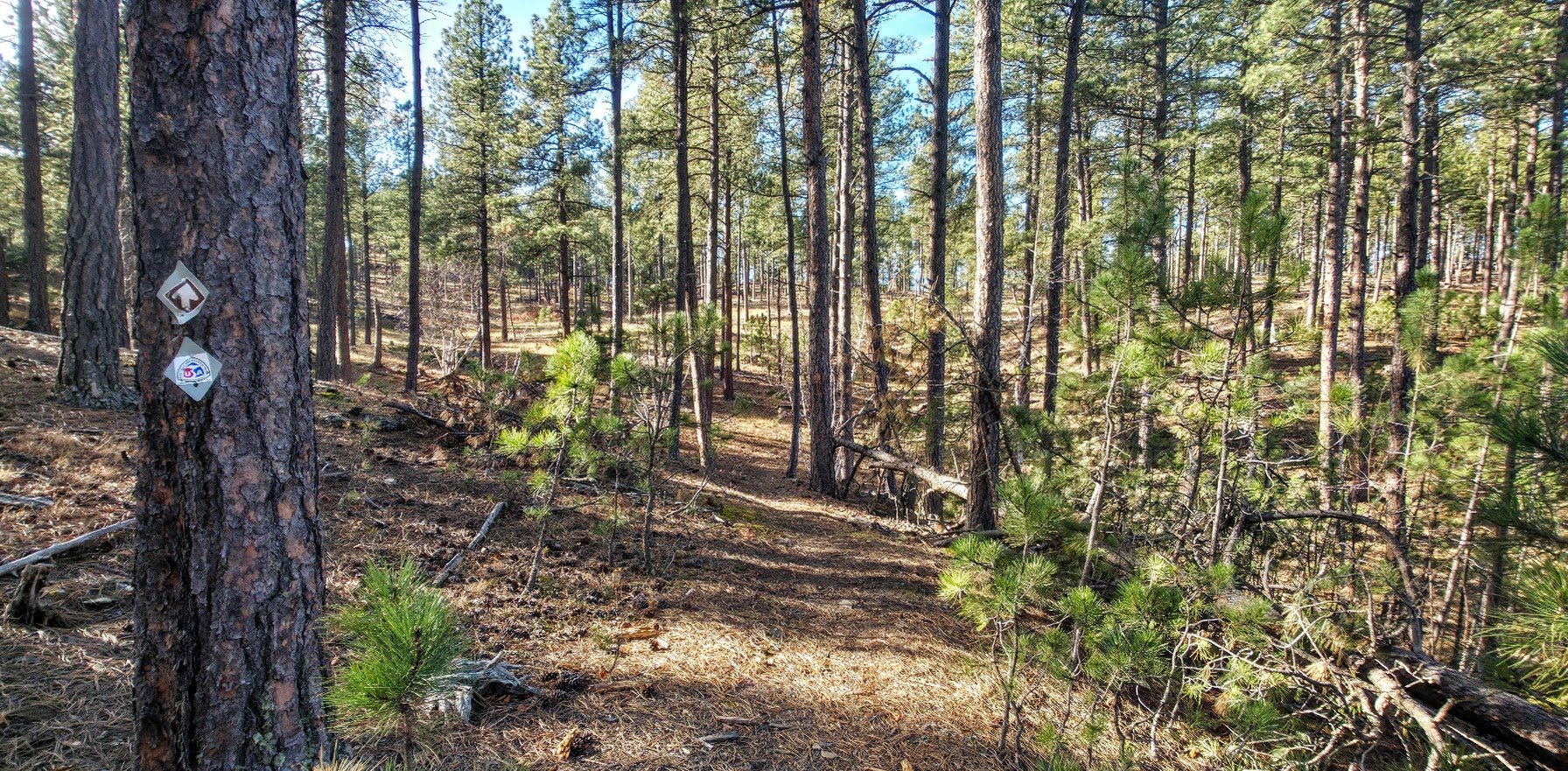
We take the trail that goes to the left.
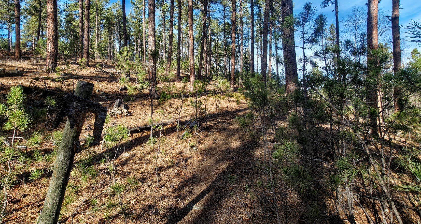
Lots of signs in bad shape like this one.
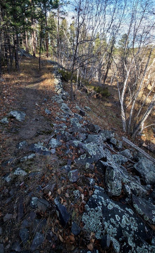
Can see signs of the Flume Trail now and again.
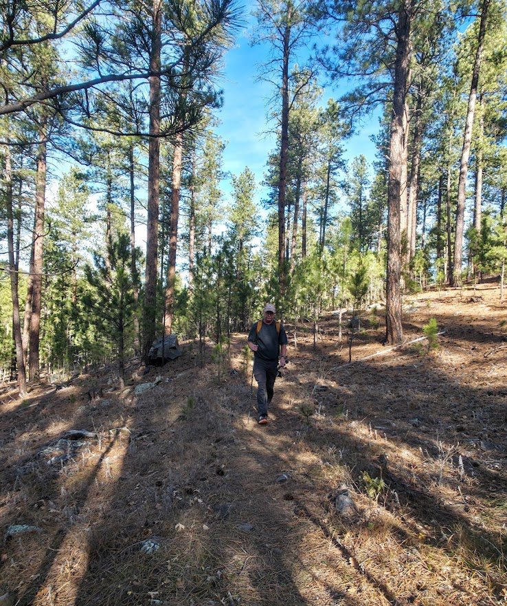
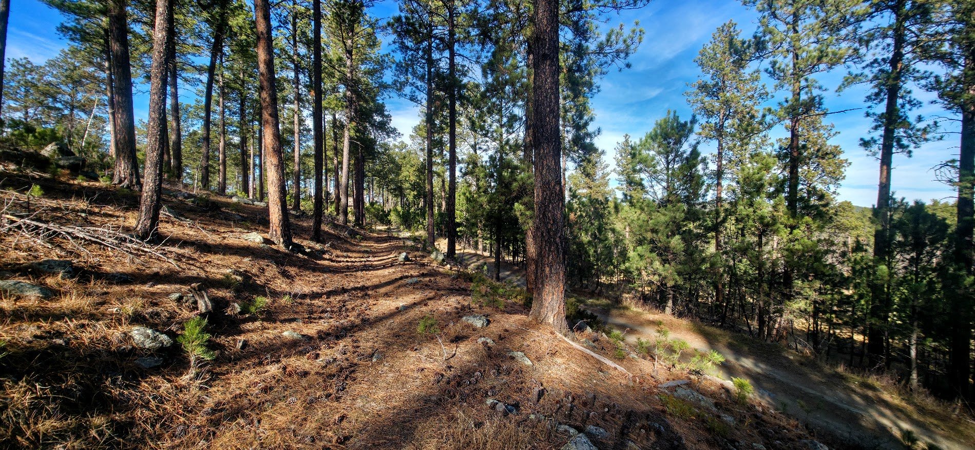
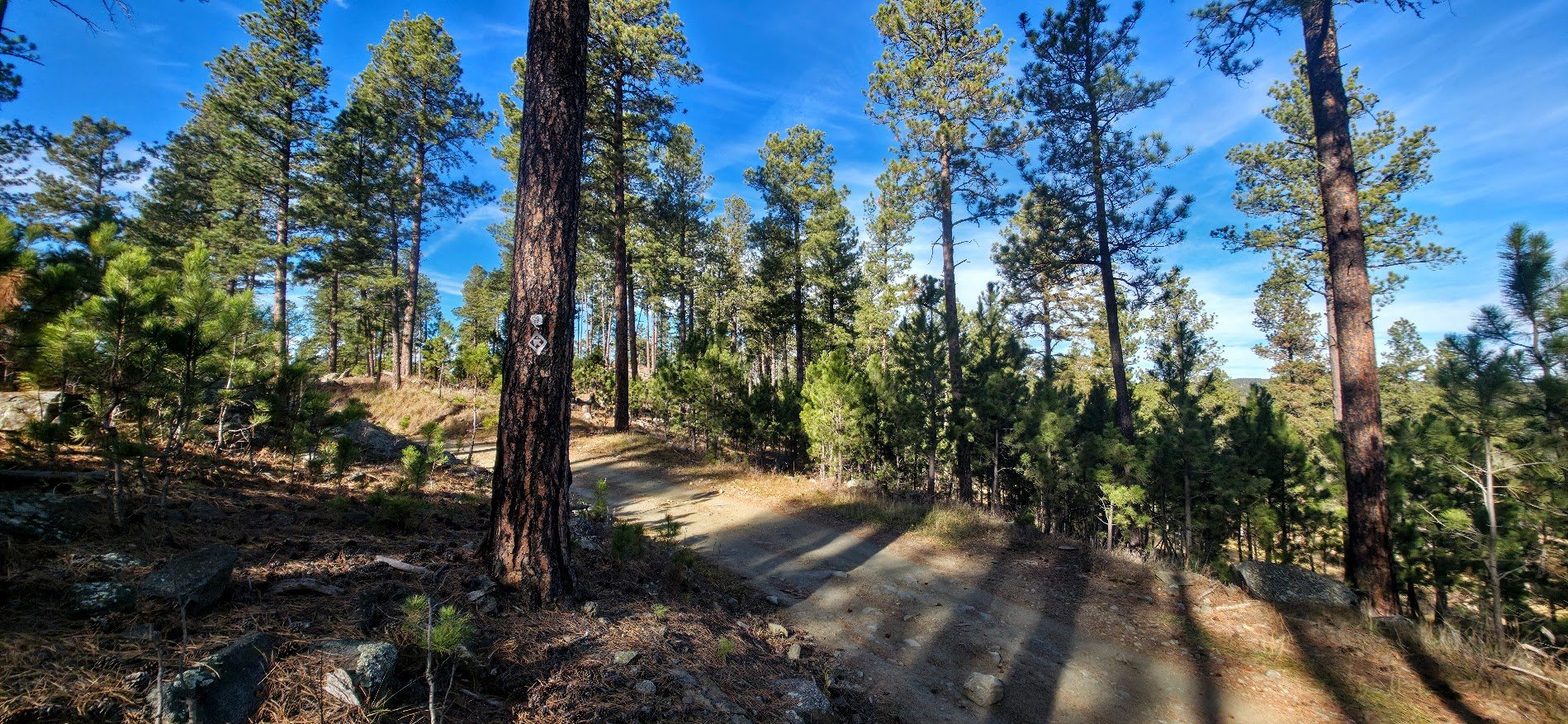
Trail close to a dirt road.
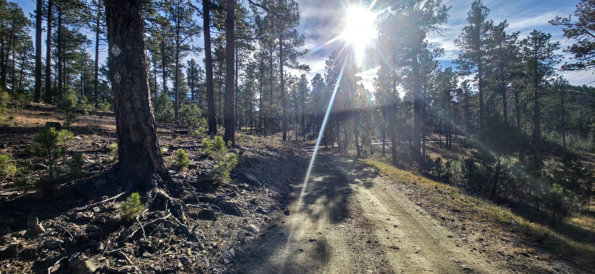
Now we get on the dirt road and walk it for about .75 of a mile. Now and again you will see signs so pay close attention to your turnoff.
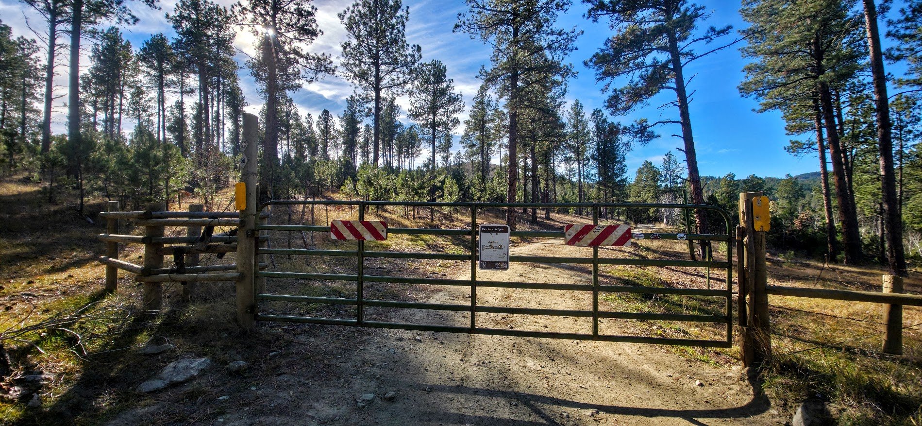
Pass through the fence and keep going on the road.
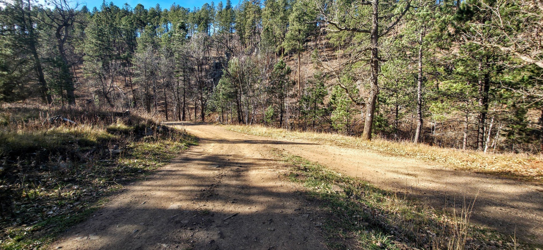
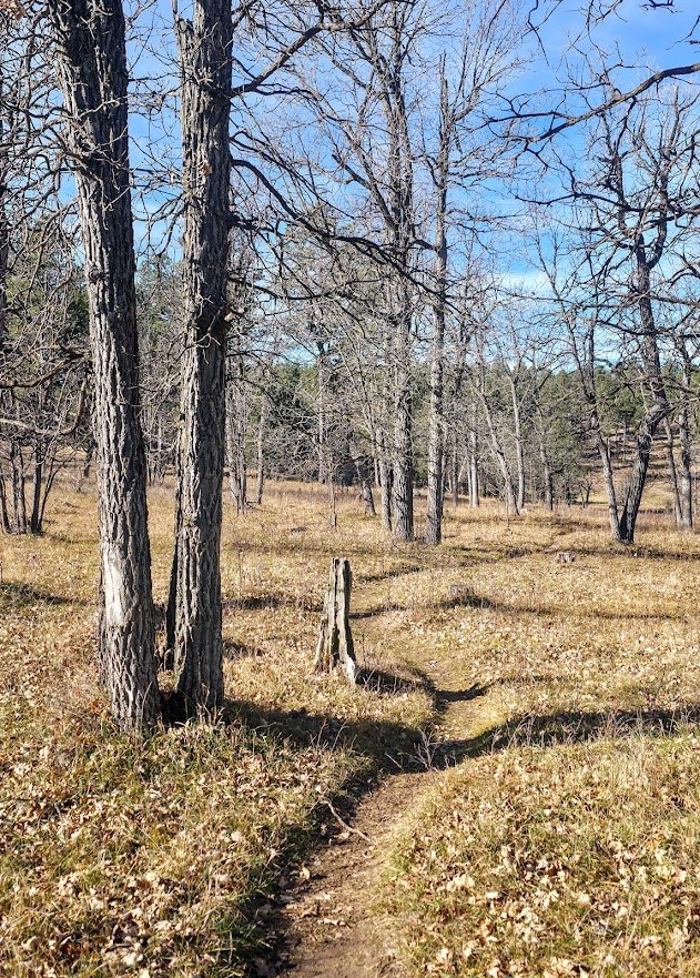
Lots of pathways, and roads coming and going. The trail is the one on the right leading into the woods. Very easy to miss.
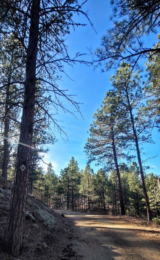
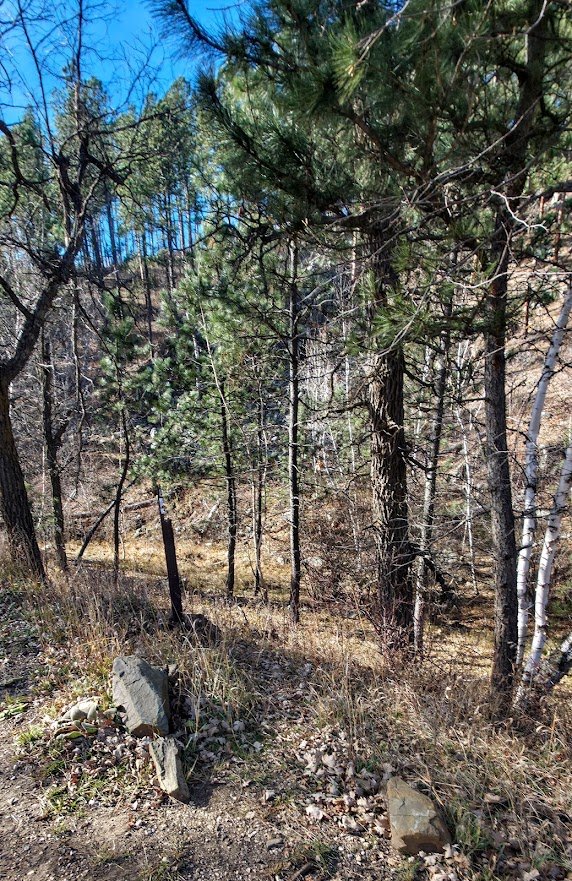
This is the small trail that keeps going on the Flume Trail.
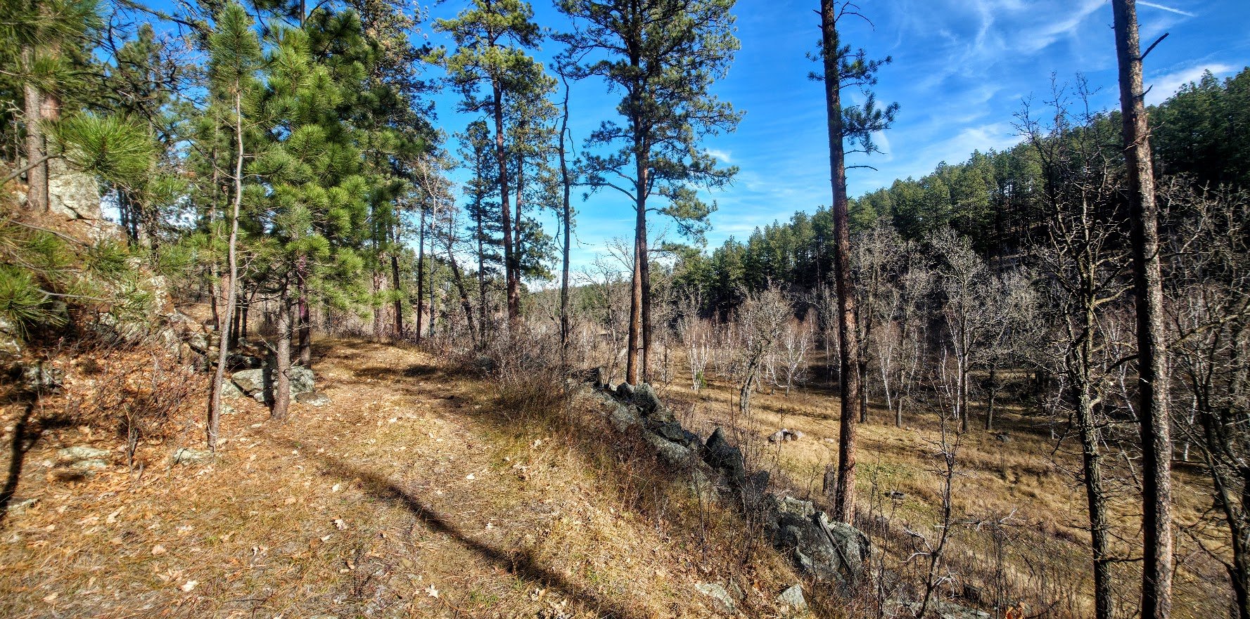
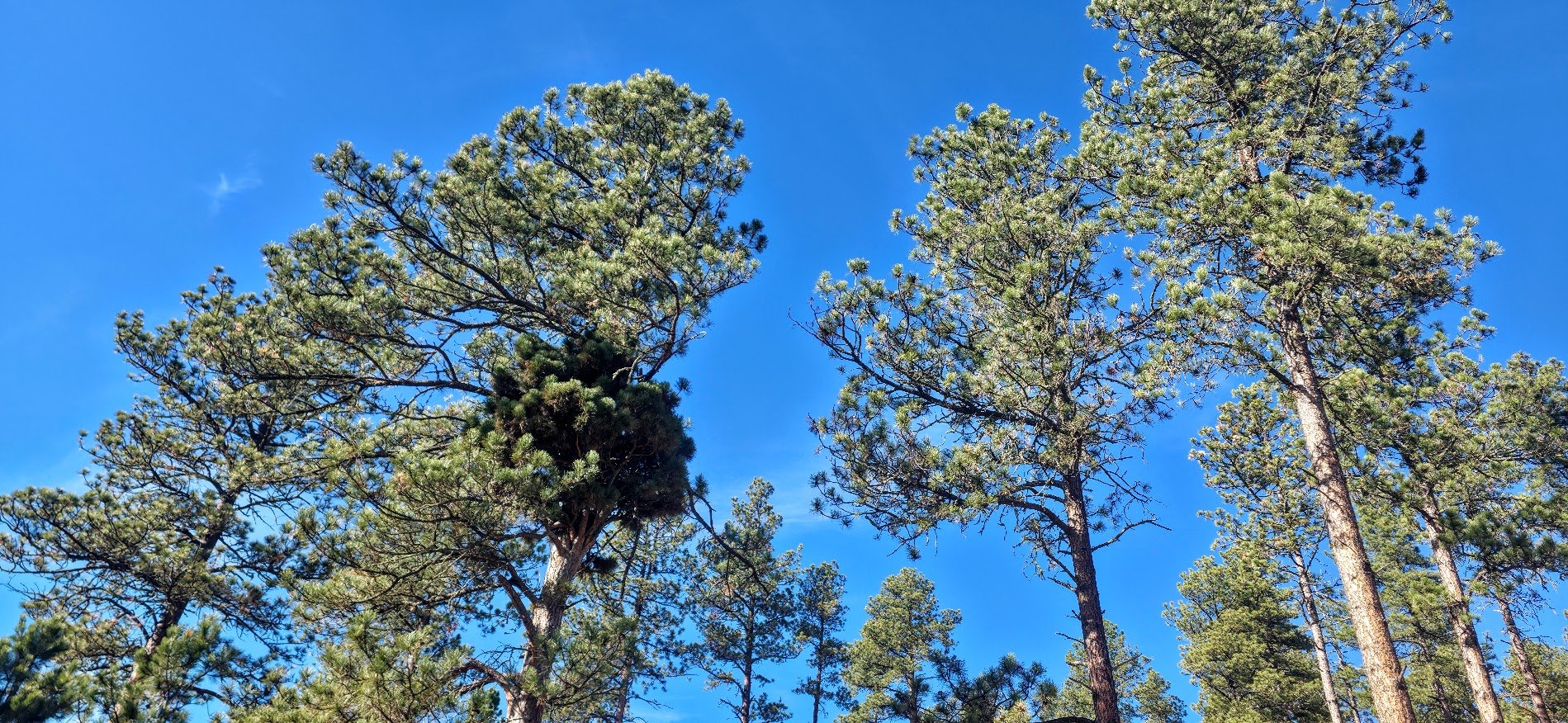
Interesting growth on the tree.
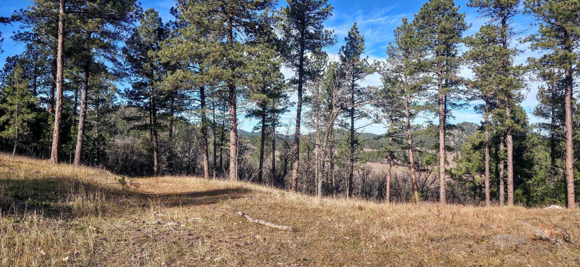
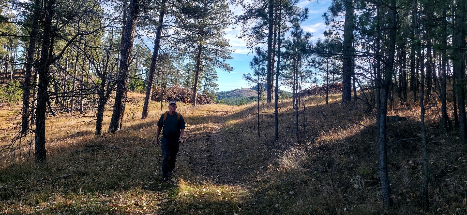
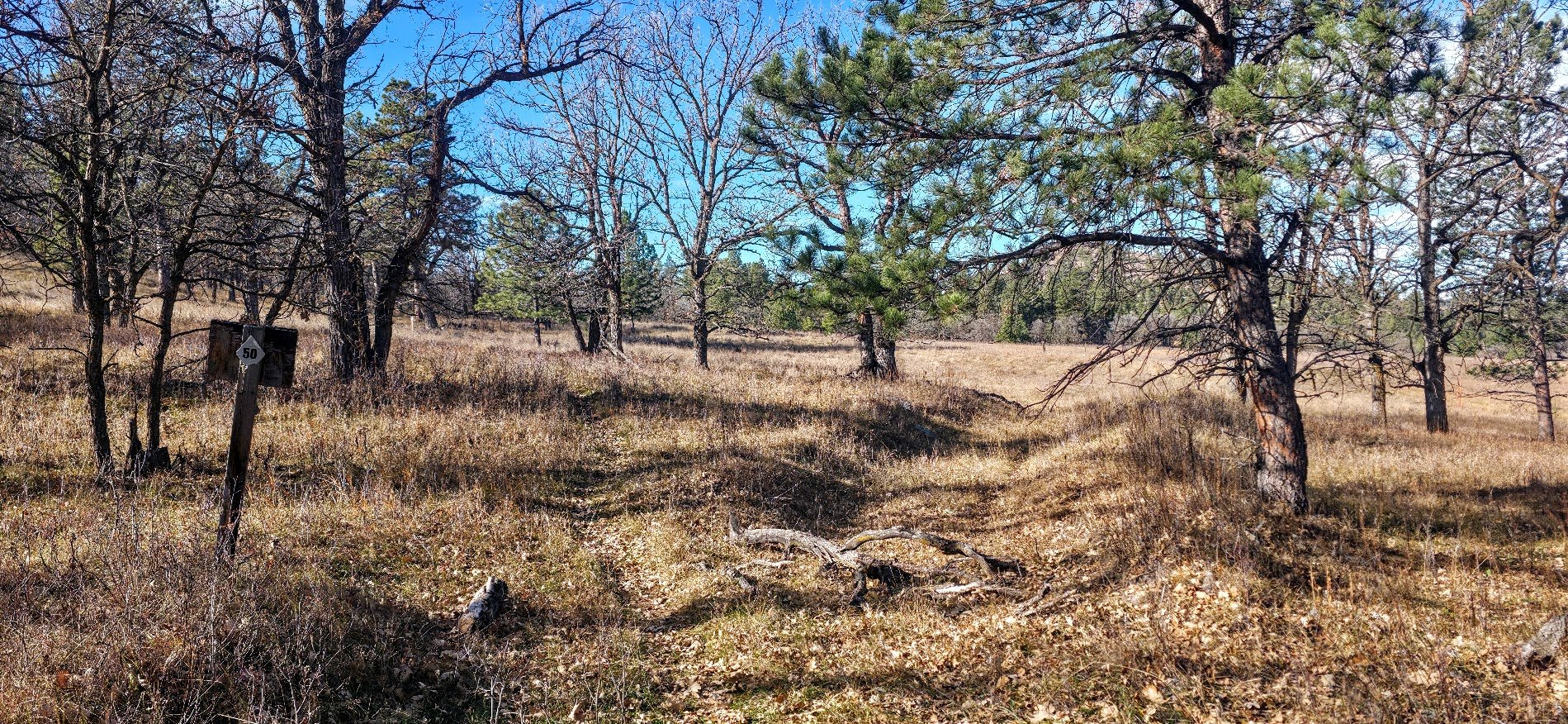
This section was very confusing. Lots of trails all over the place including animal trails. The signs were not that obvious either.
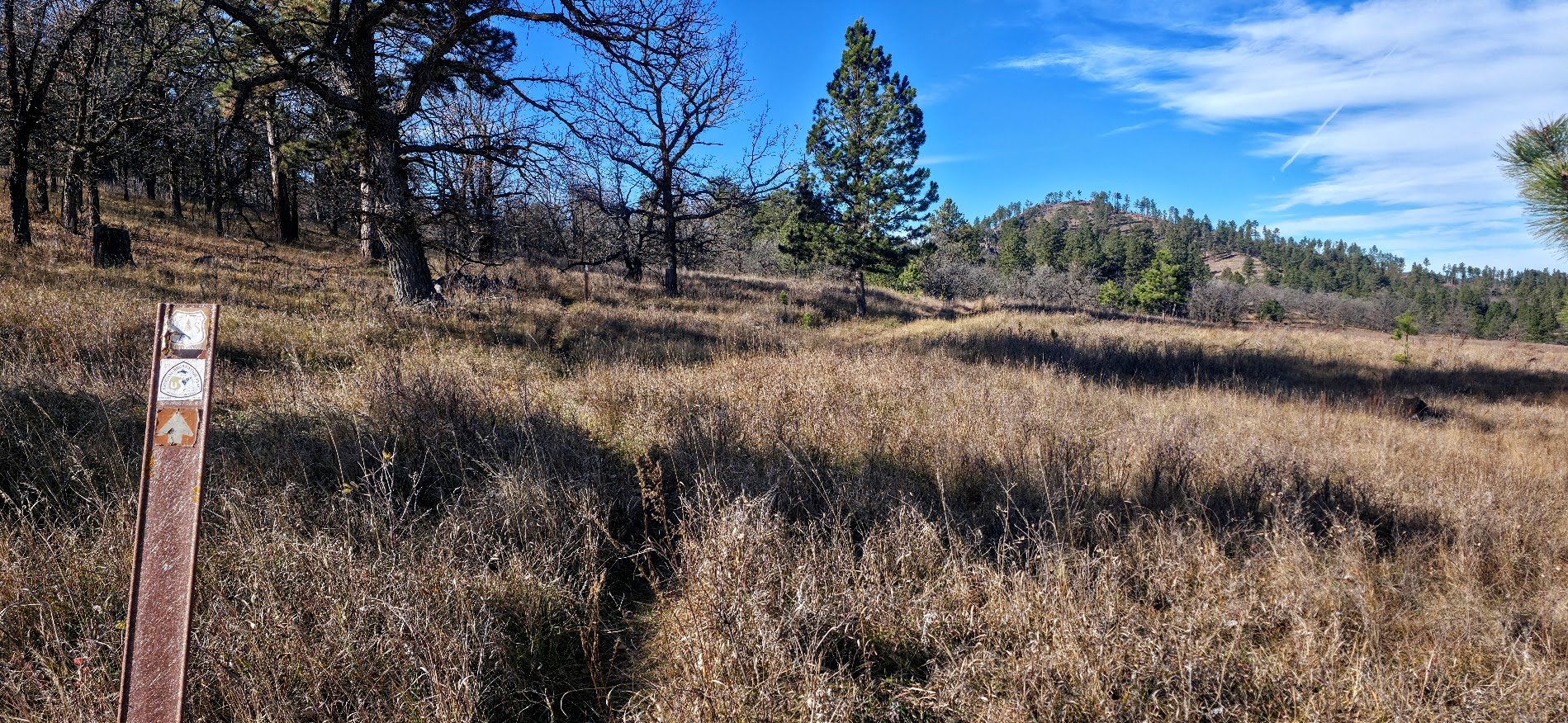
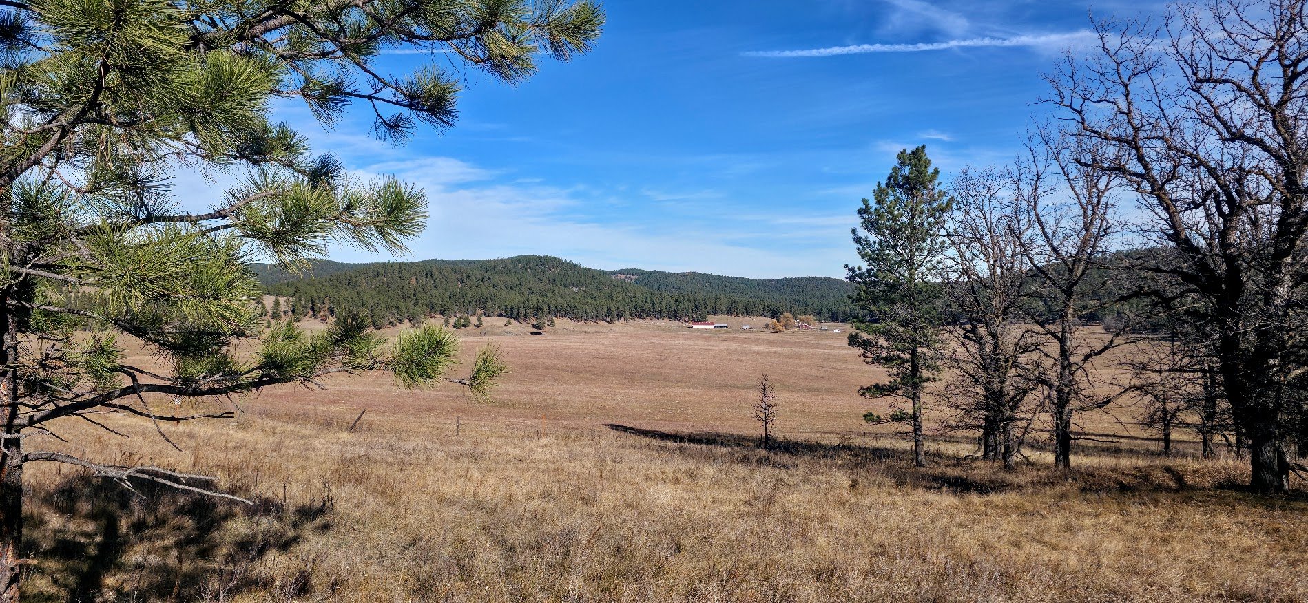
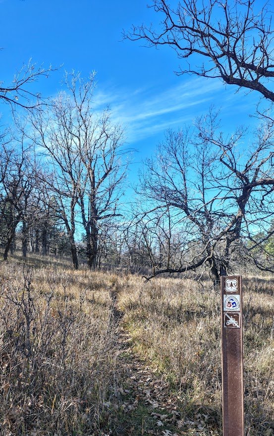
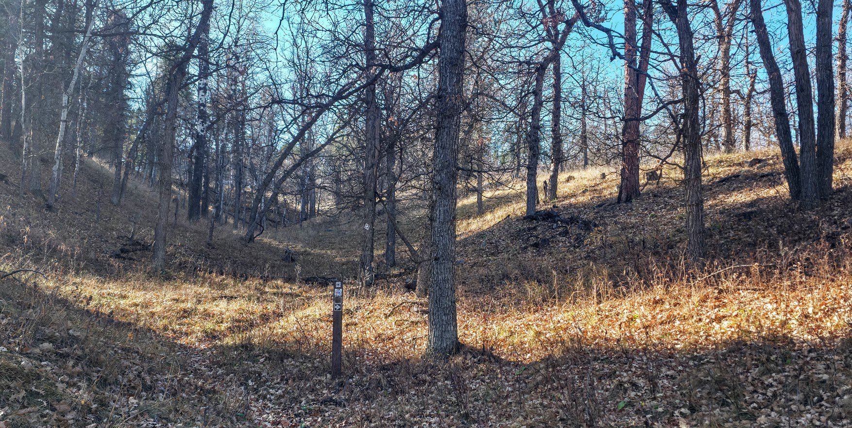
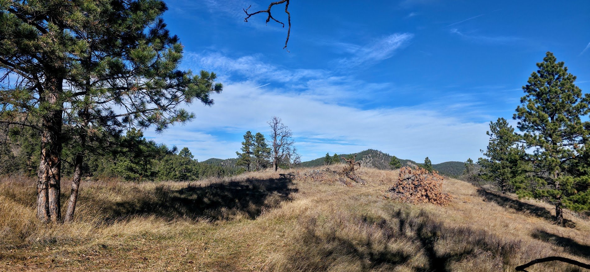
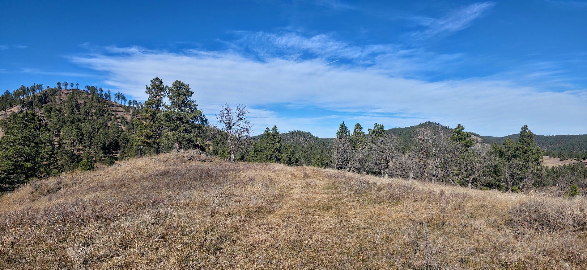
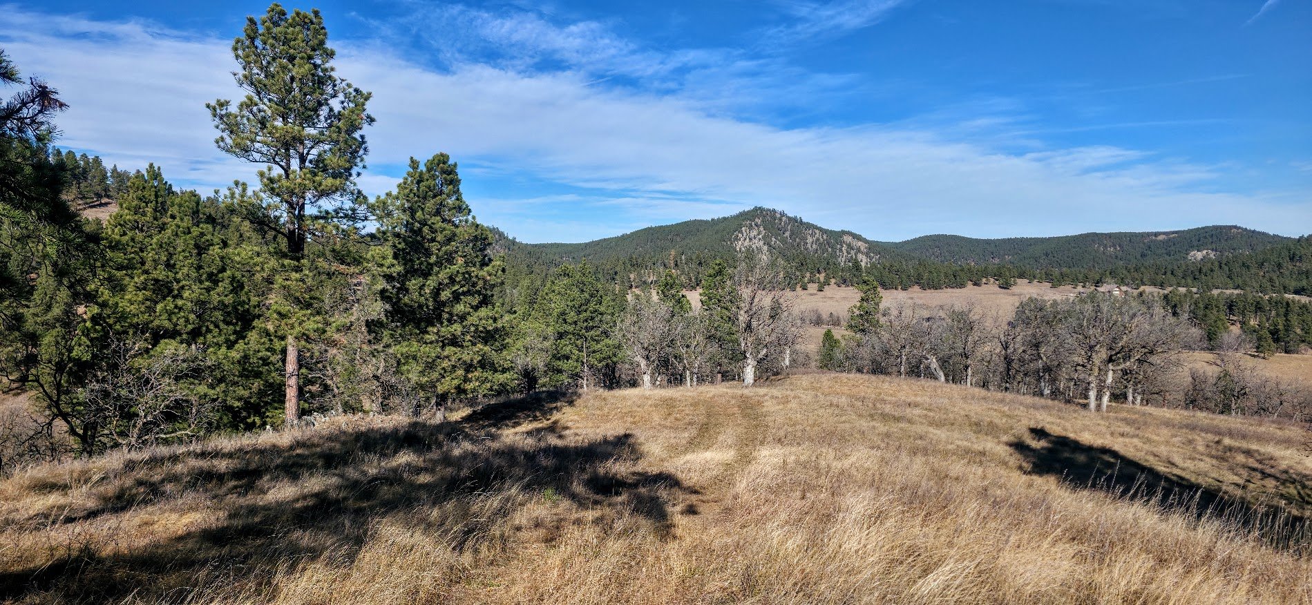
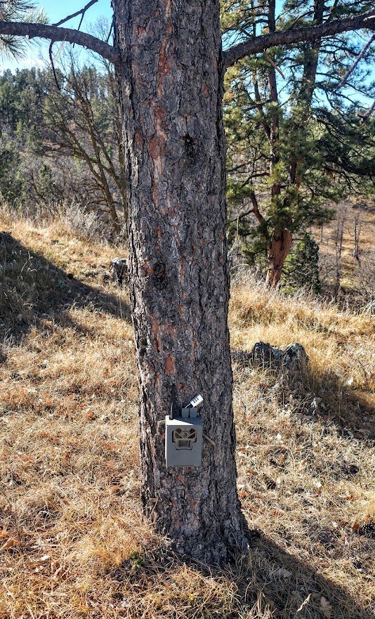
Looks like a trail camera on the trail.
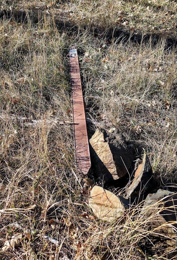
Down markers or signs does not help.
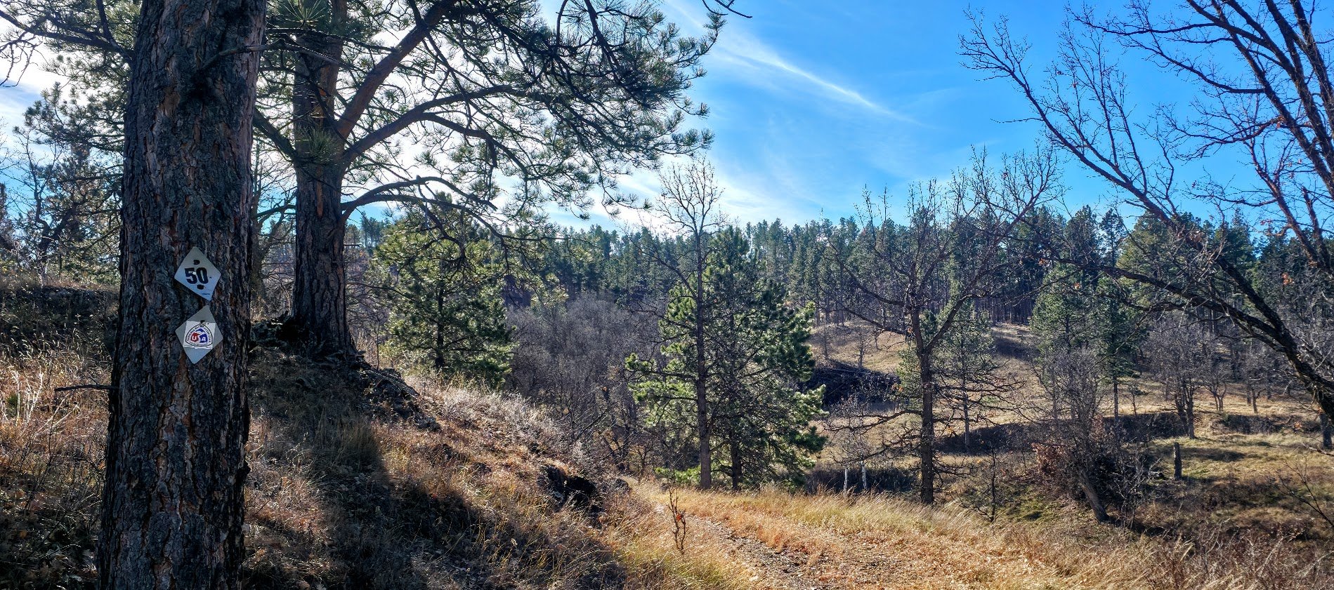
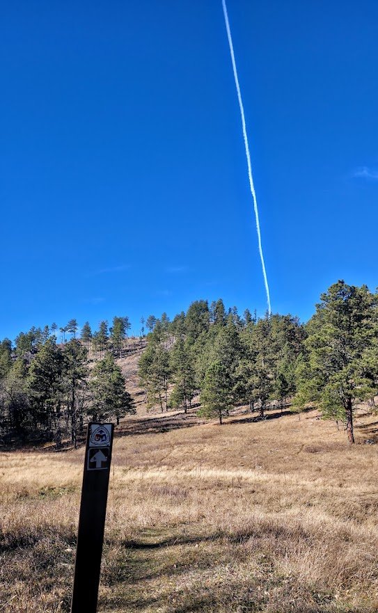
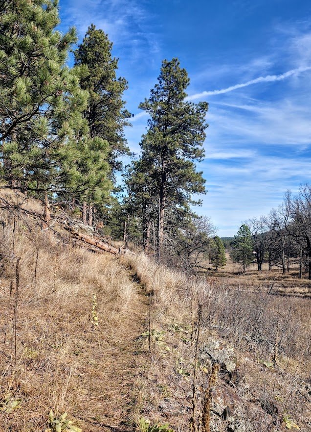
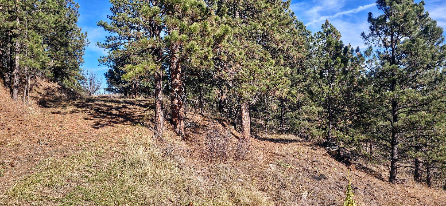
Another easy spot to miss the trail going to the right when the bigger trail leads to the left.
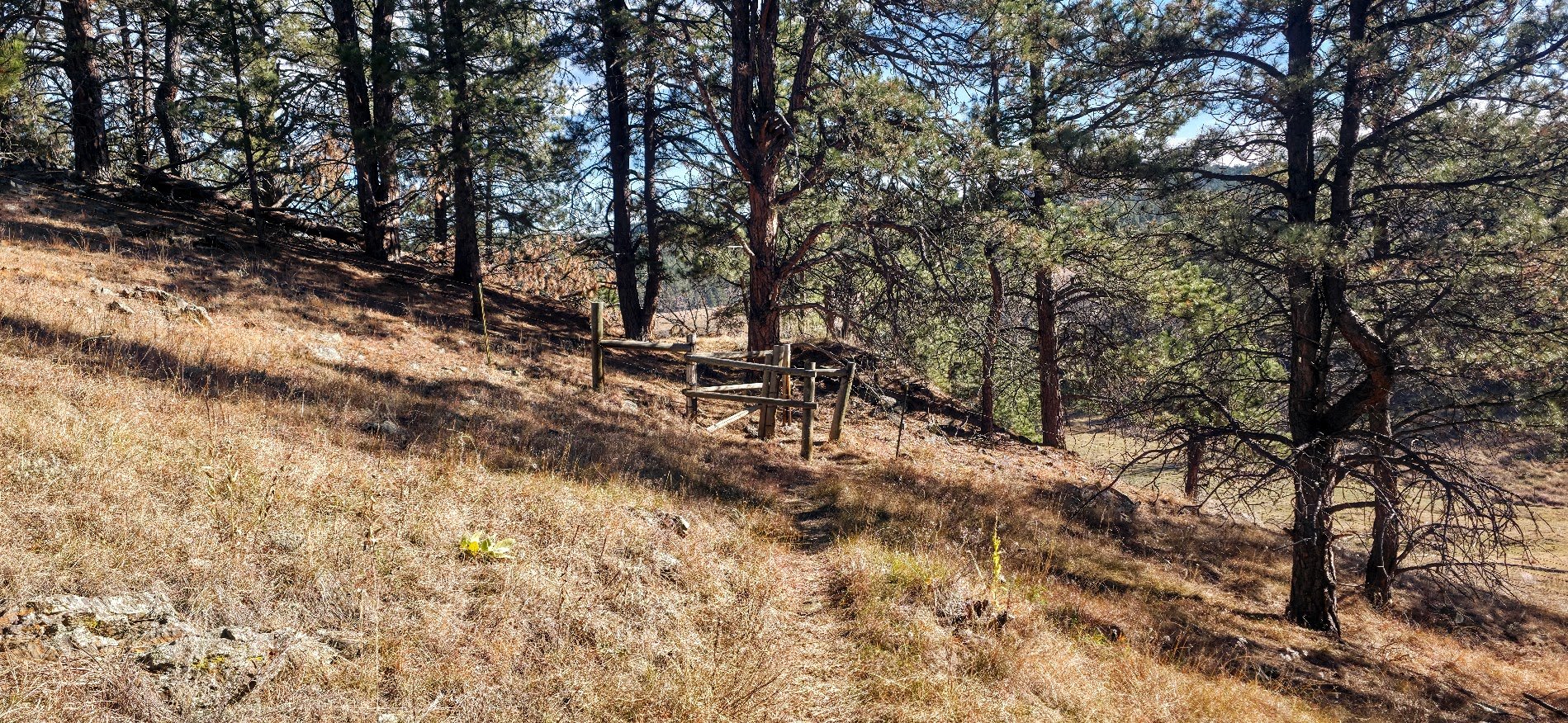
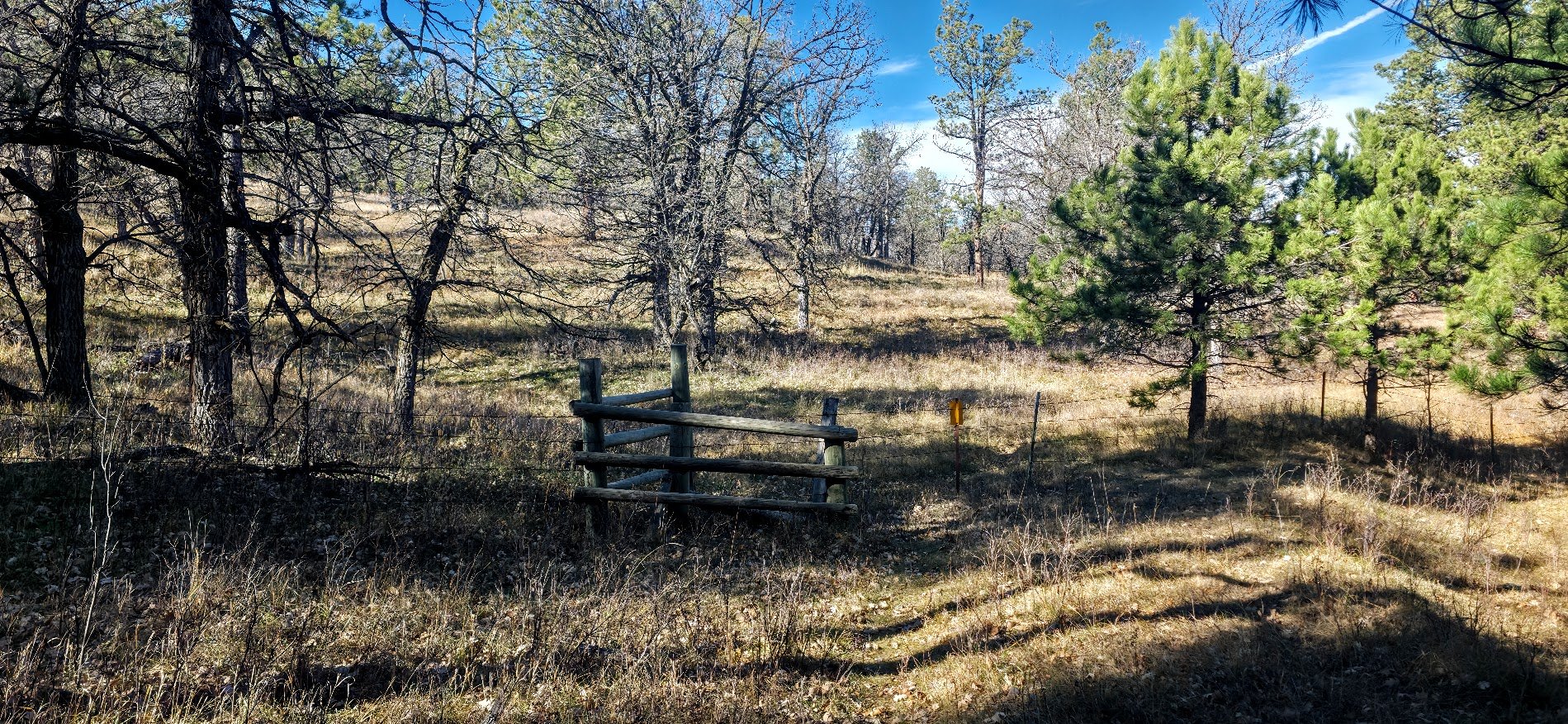
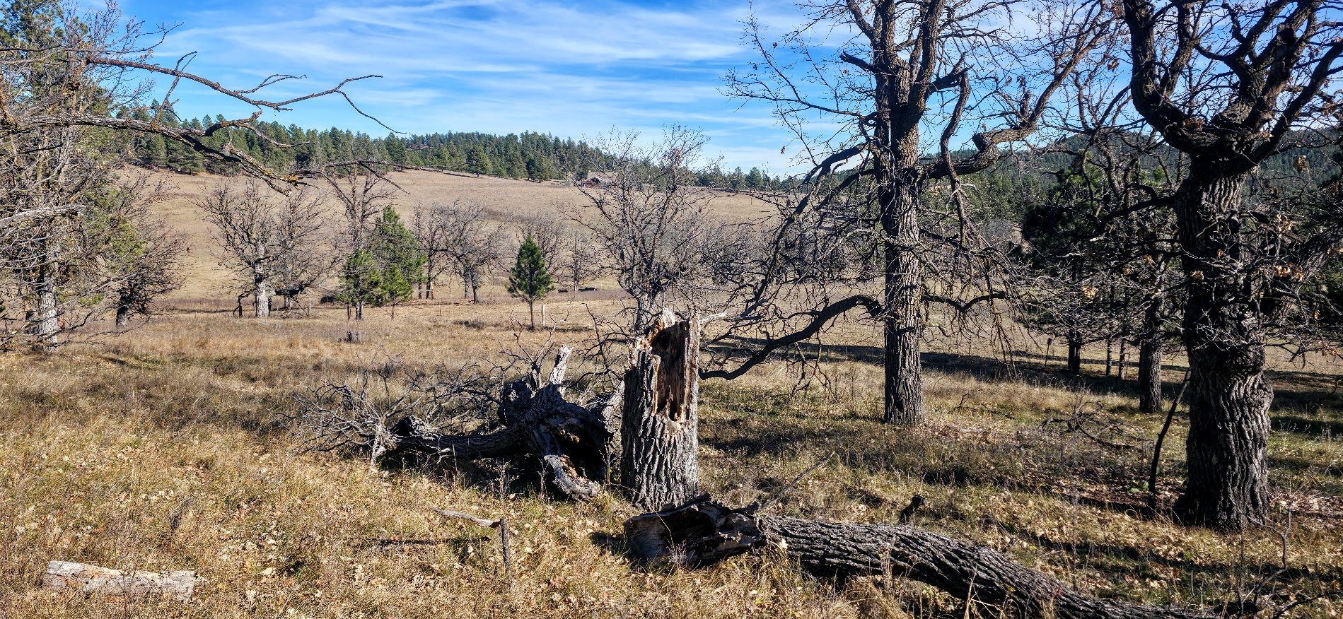
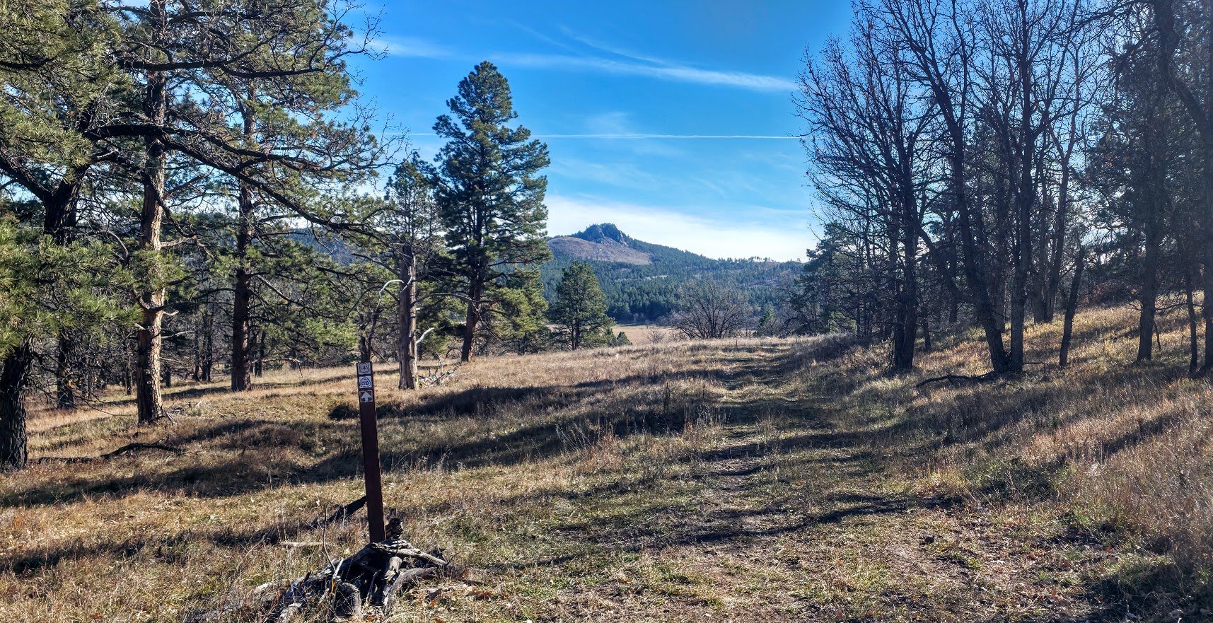
Looking back you can see Boulder Hill. Also the sign looks like you keep going straight while you actually turn to the left to continue the trail.
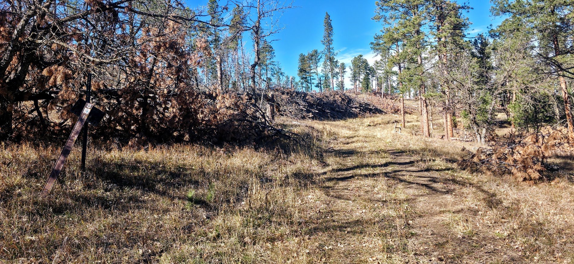
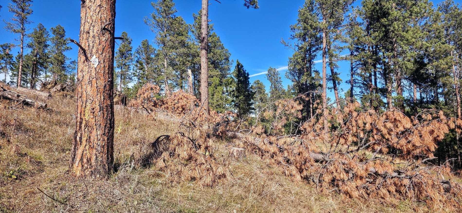
Another example of where the trail looks like you continue straight, but you actually go to the left.
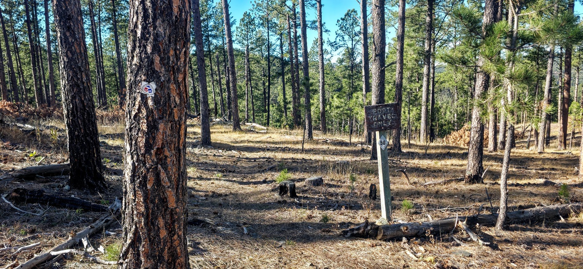
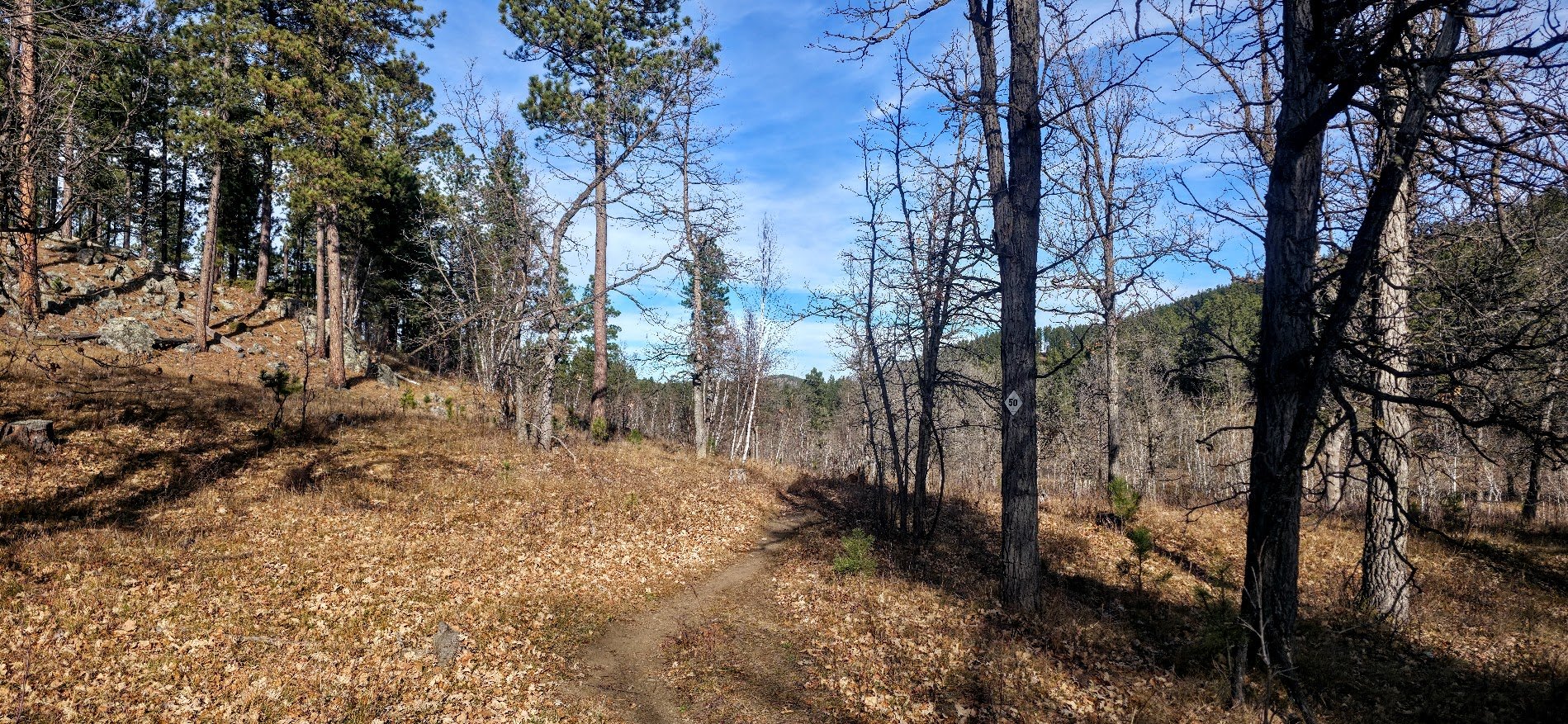
Love the signs that show we are on the right trail.
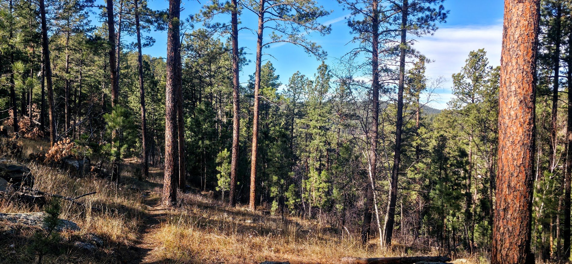
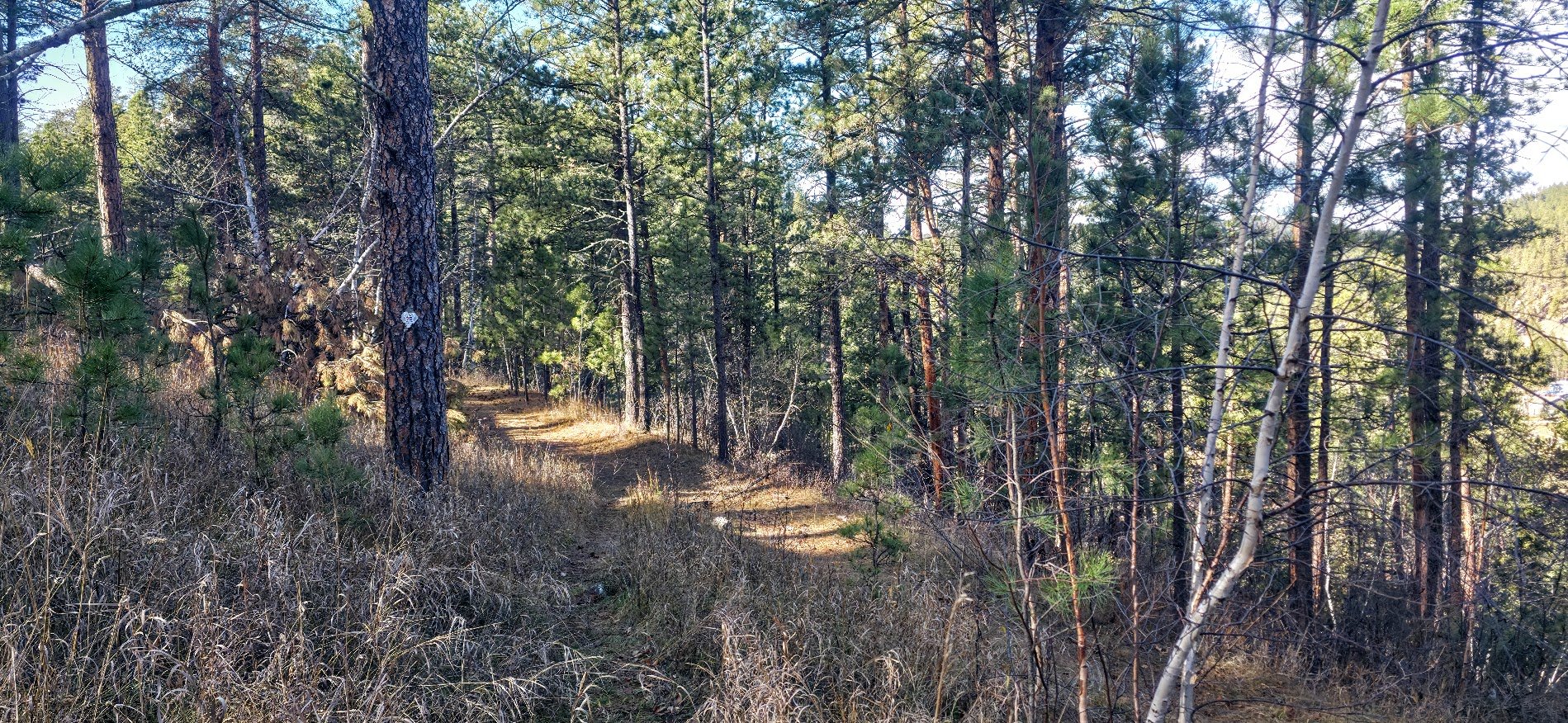
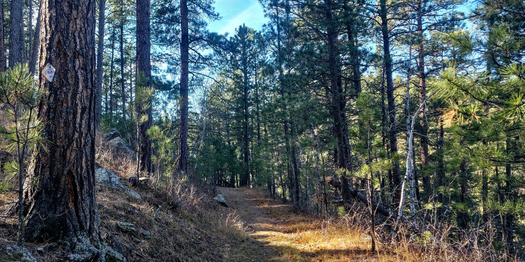
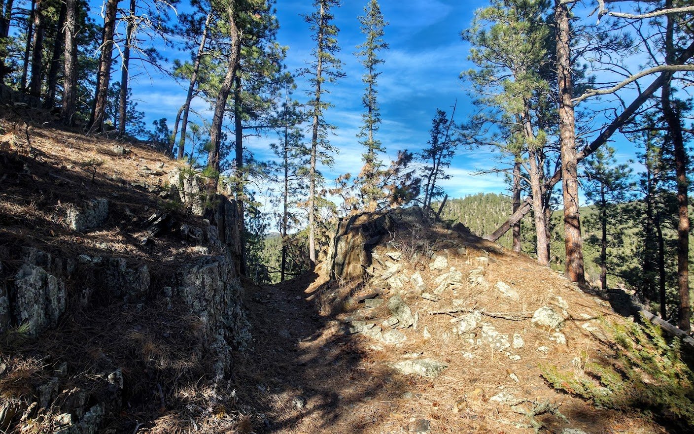
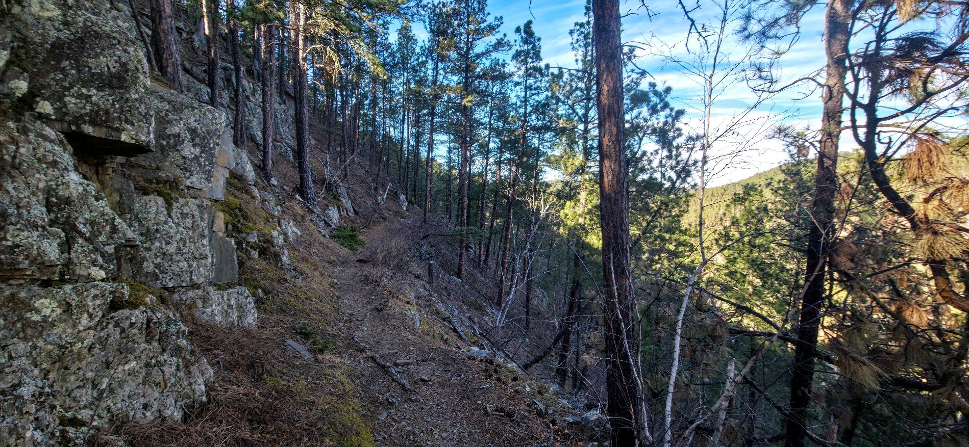
Hit a section that is obviously the Flume Trail.
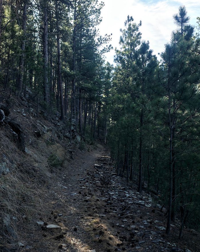
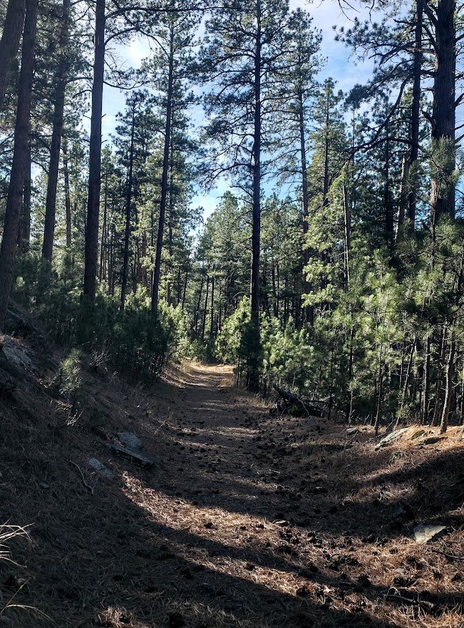
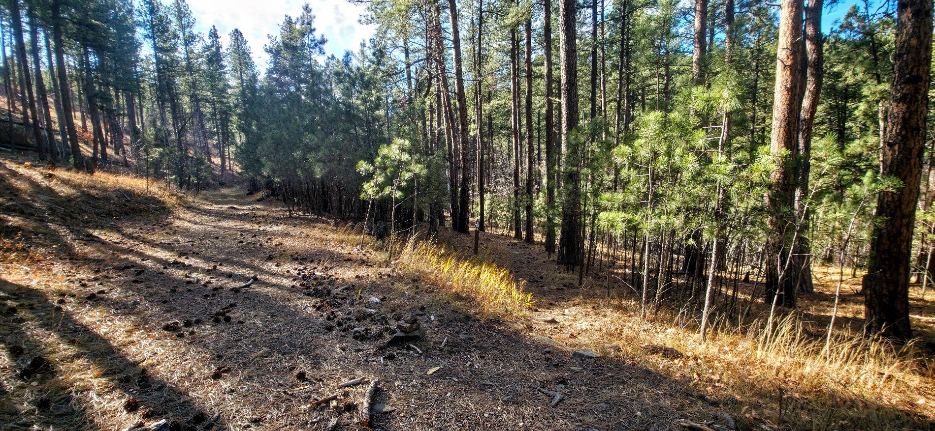
On the Flume Trail and there is a path that goes to the right which is where the trail now takes you.
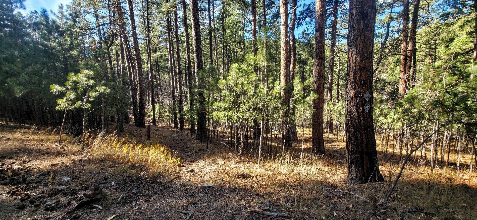
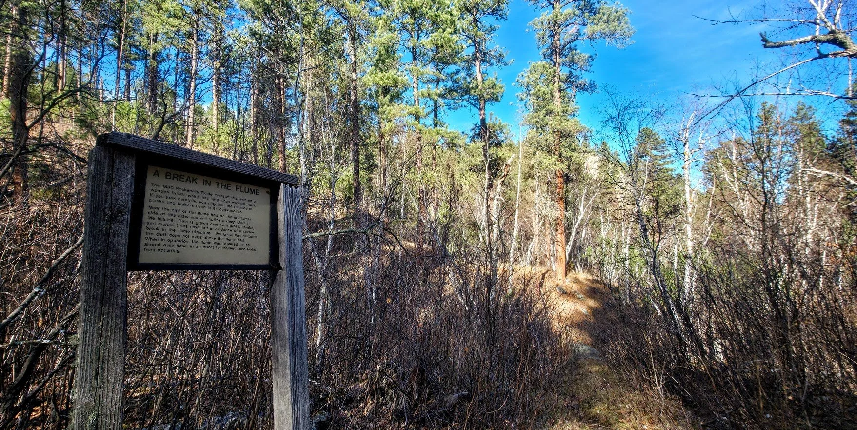
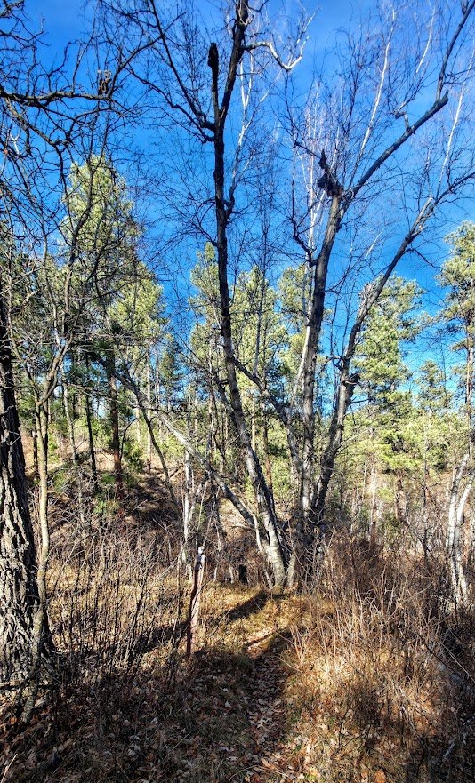
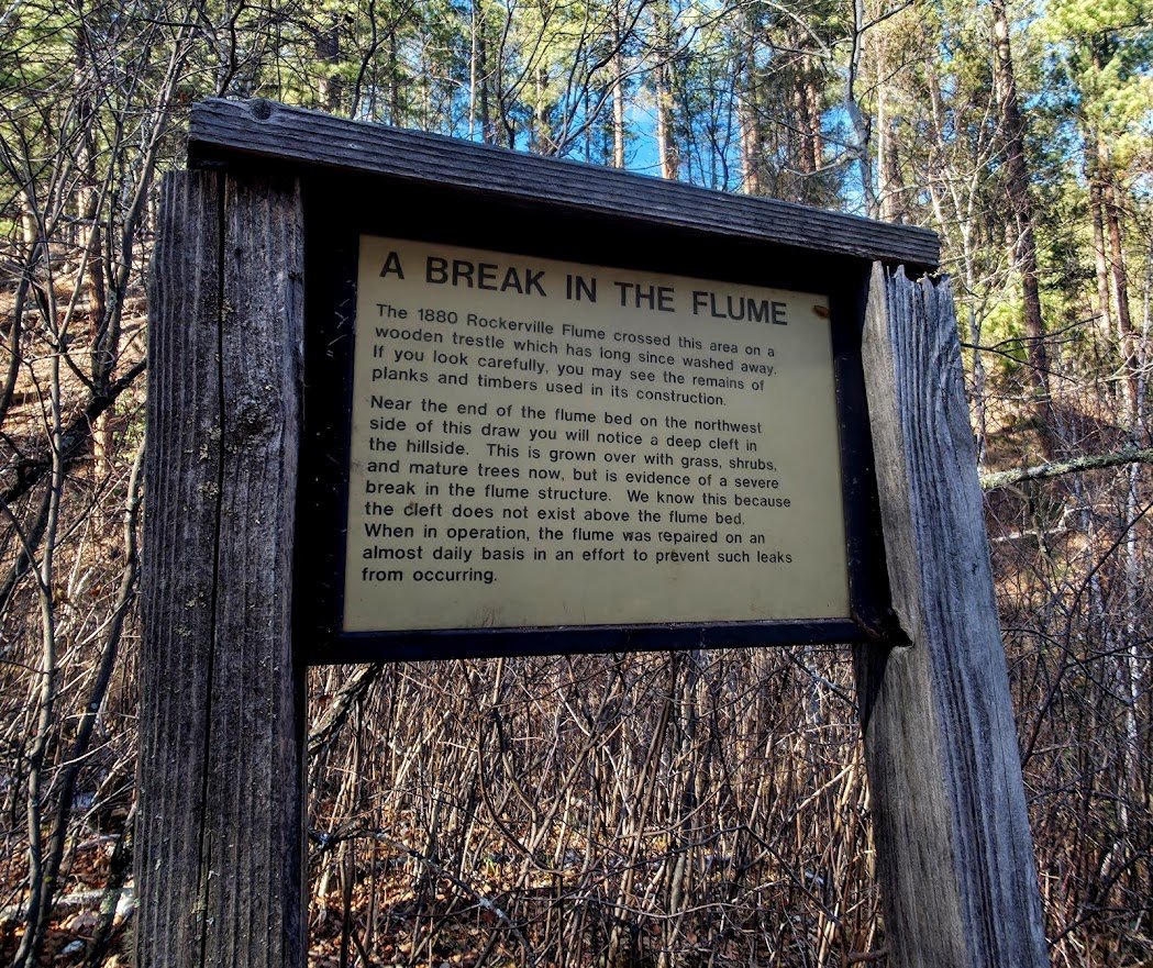
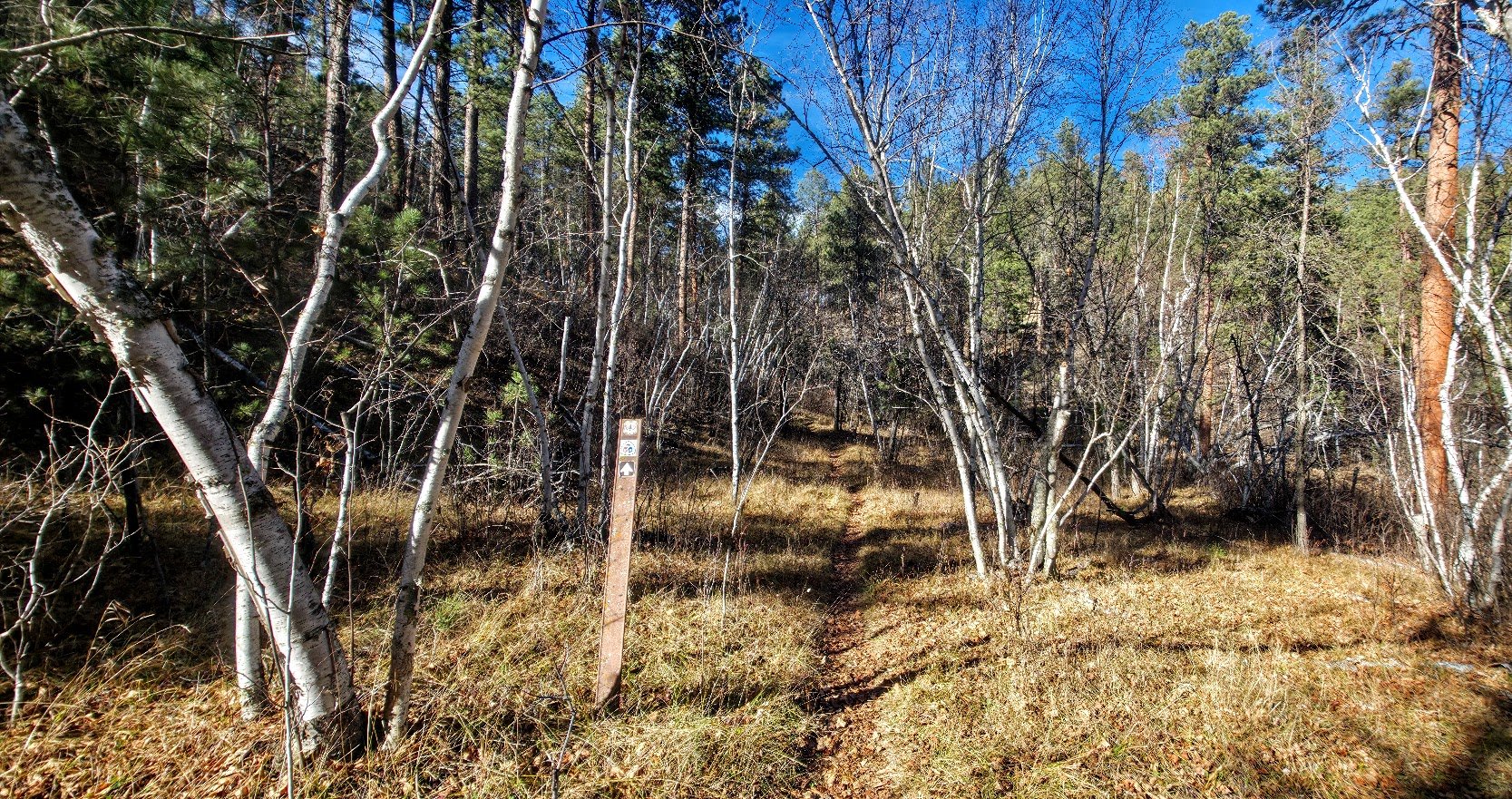
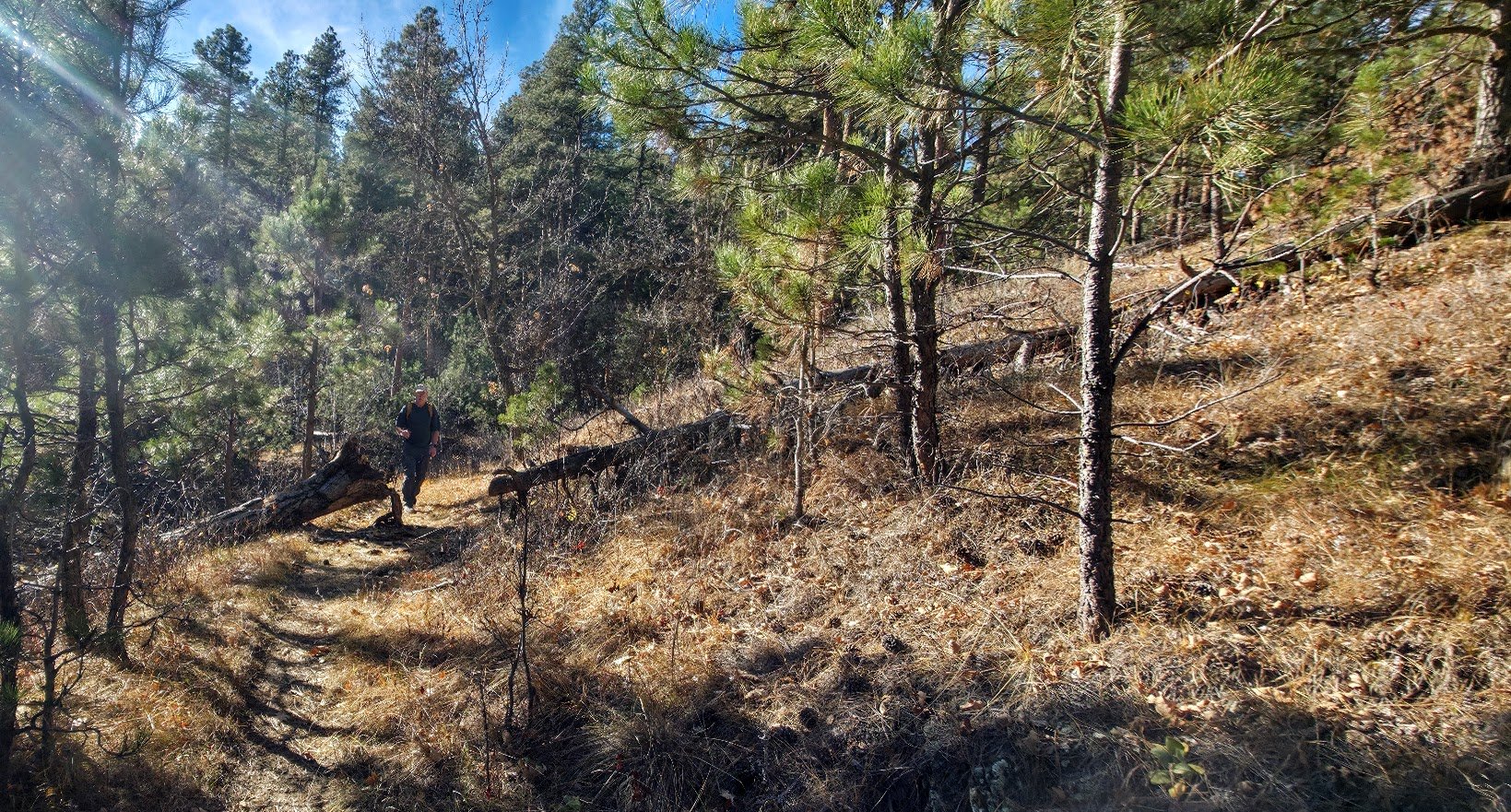
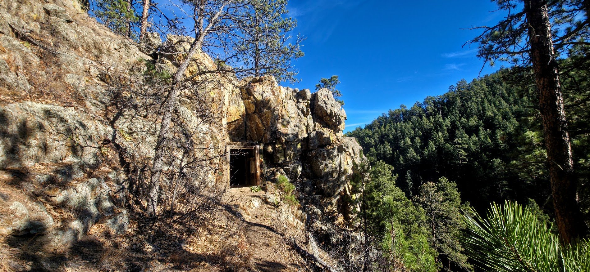
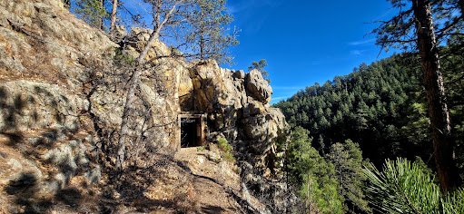
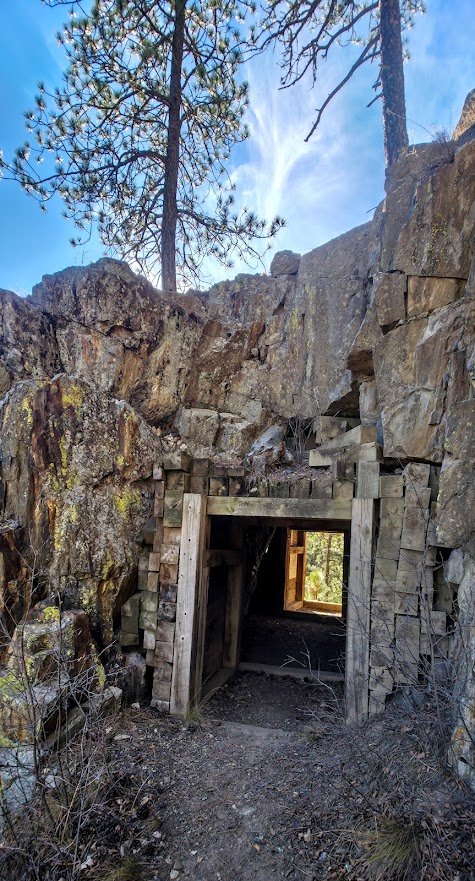
Can we see it - the short tunnel. From here the trail gets nicer.
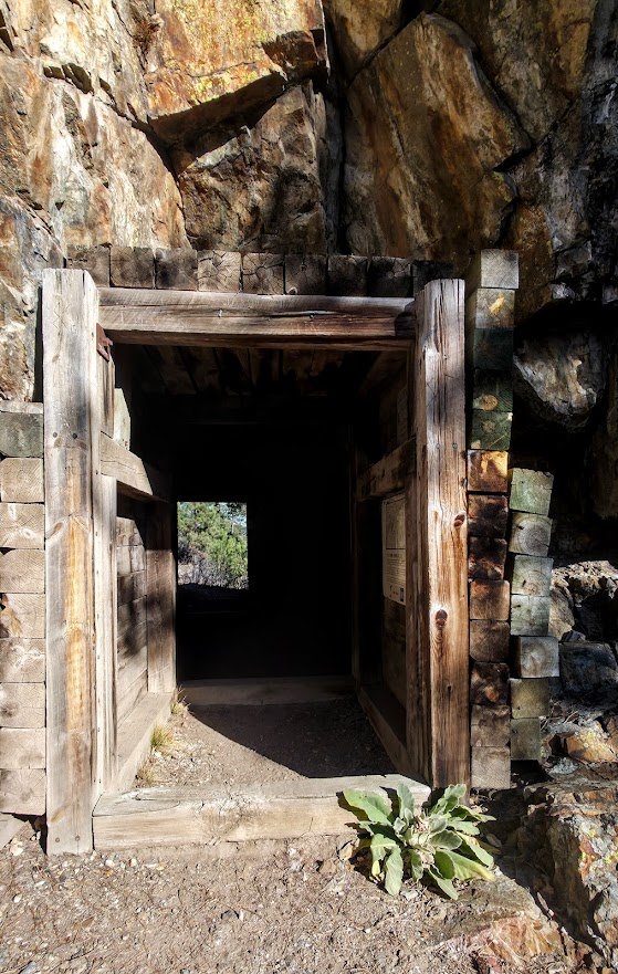
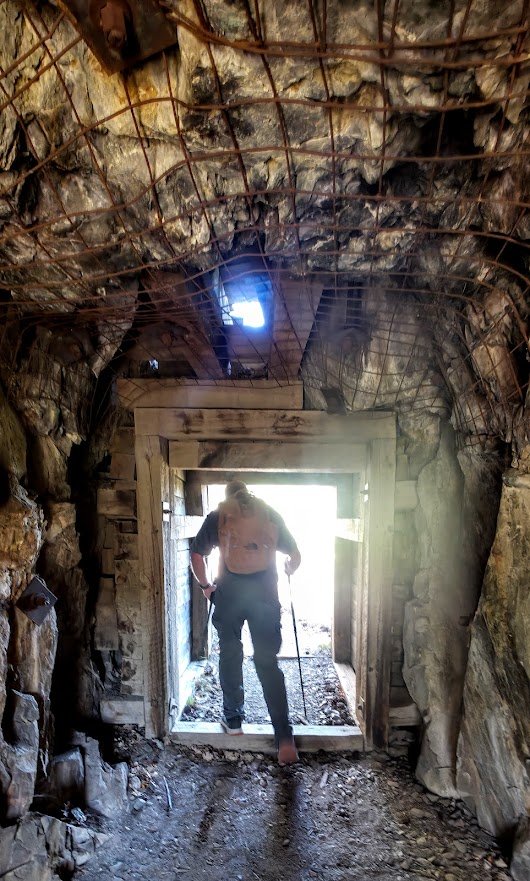
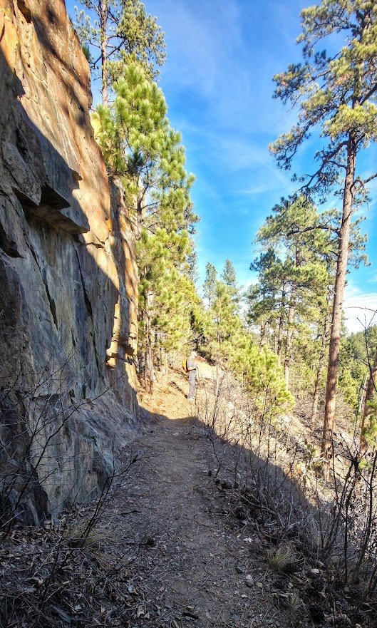
On the other side of the tunnel.
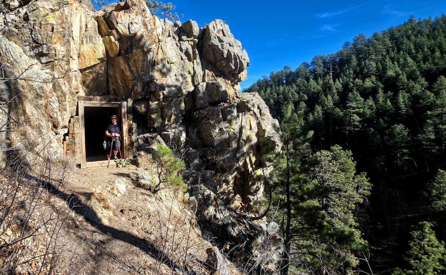
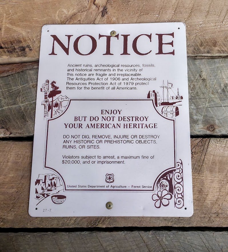
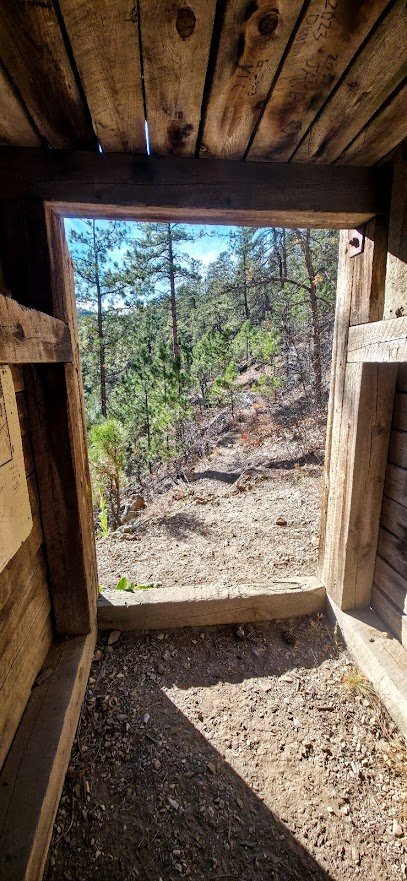
Looking back through the tunnel.
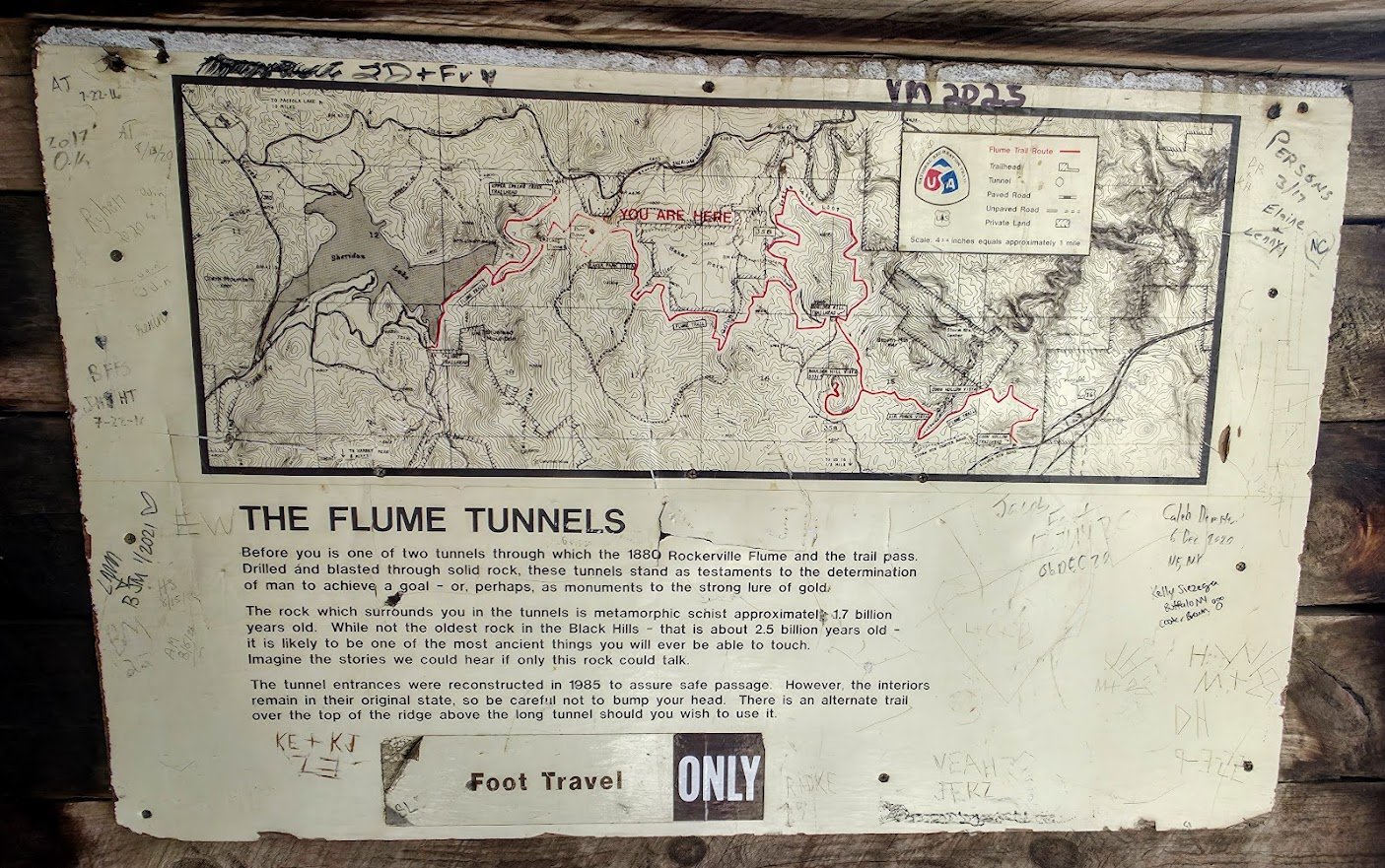
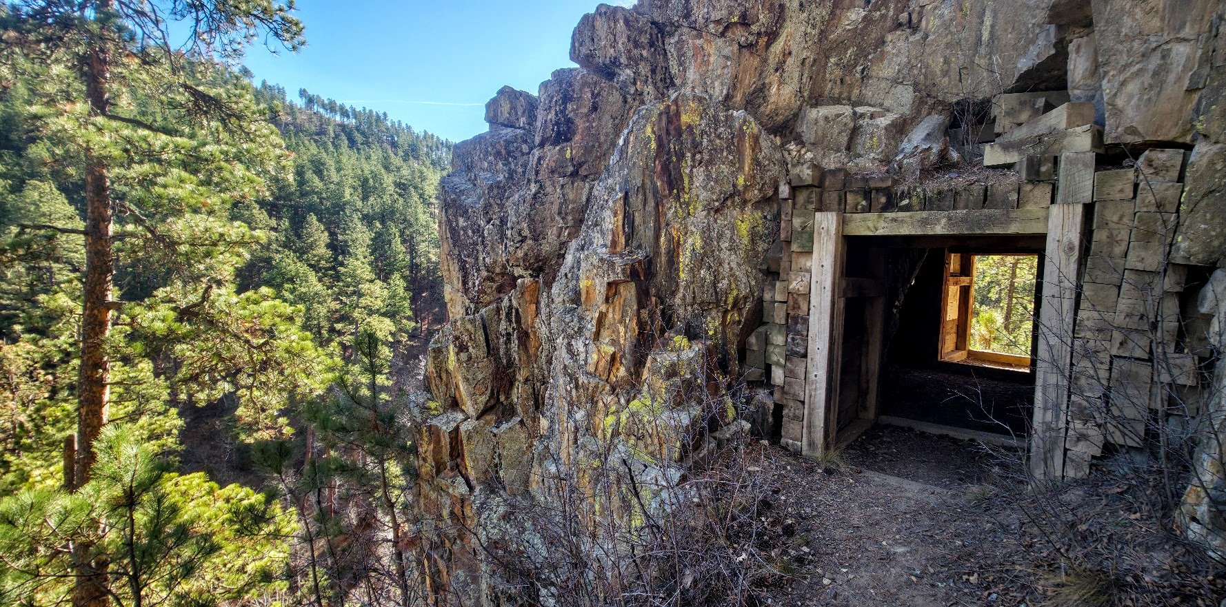
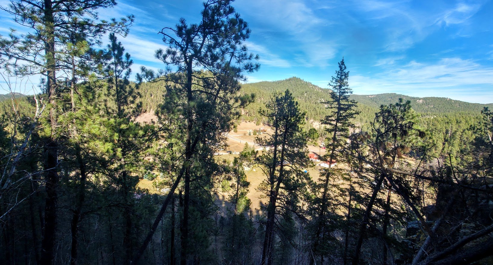
Can see Sheridan Lake Road below.
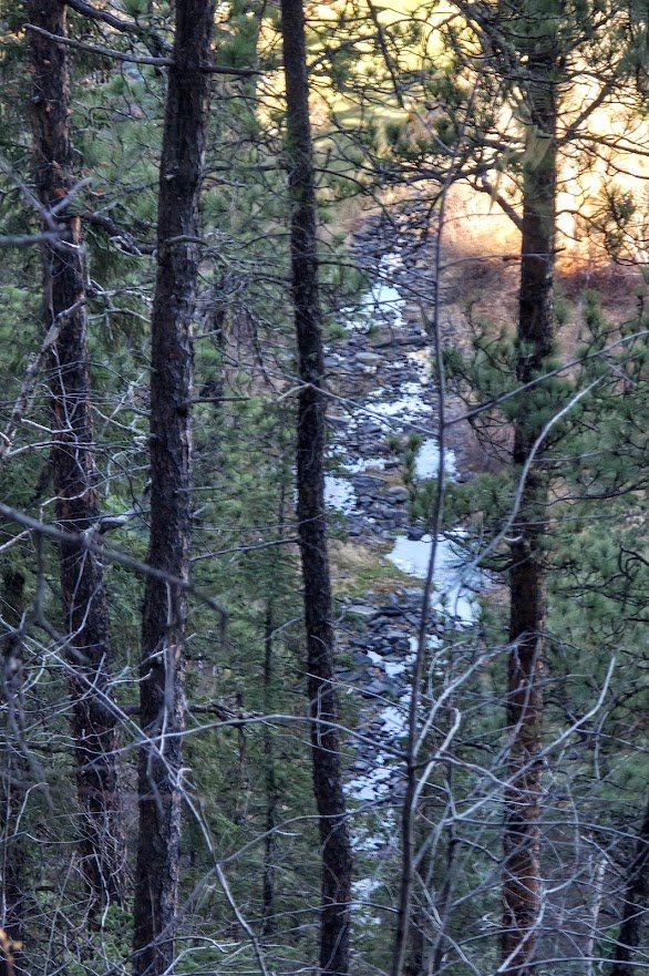
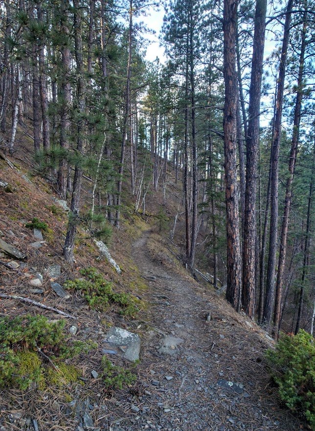
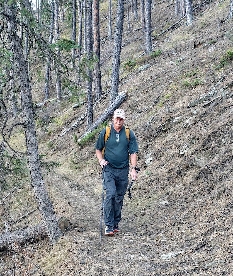
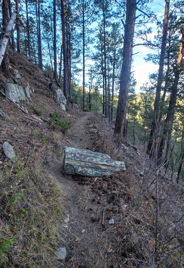
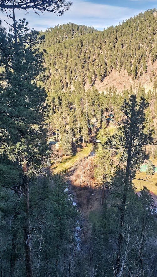
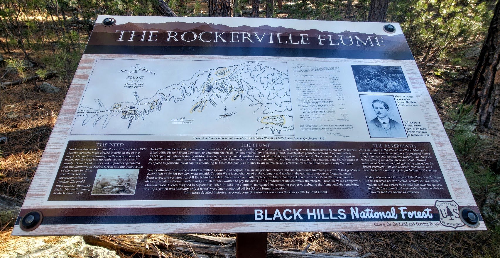
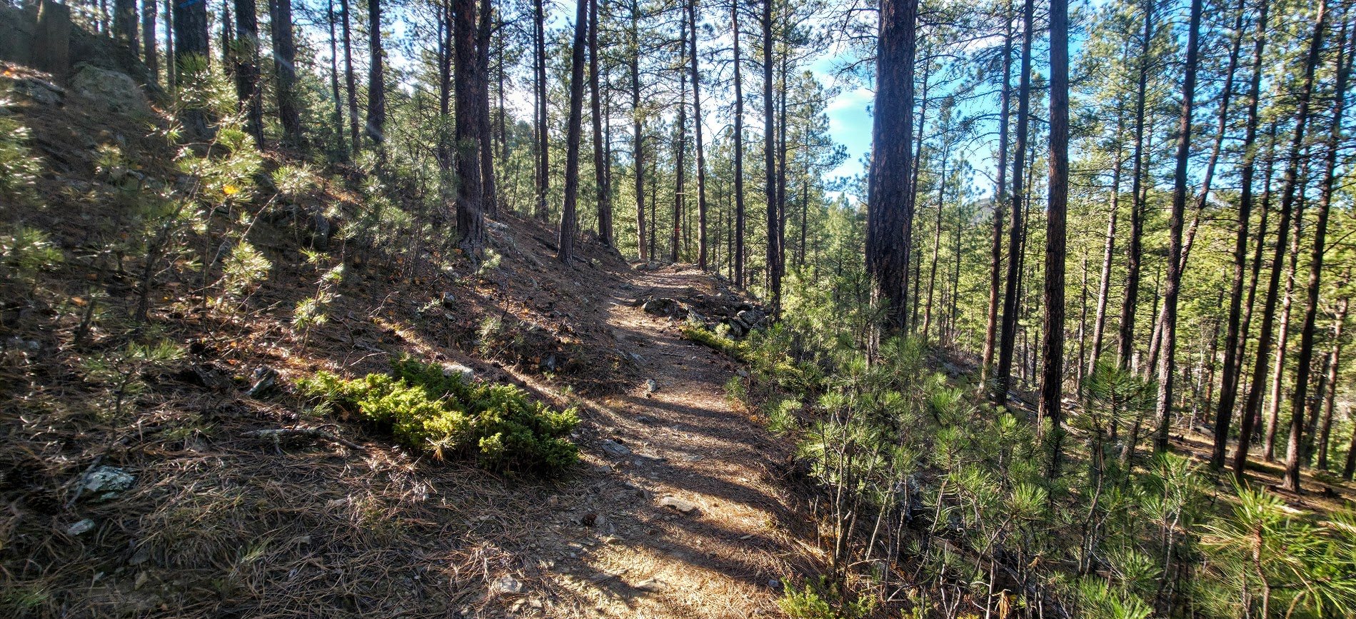
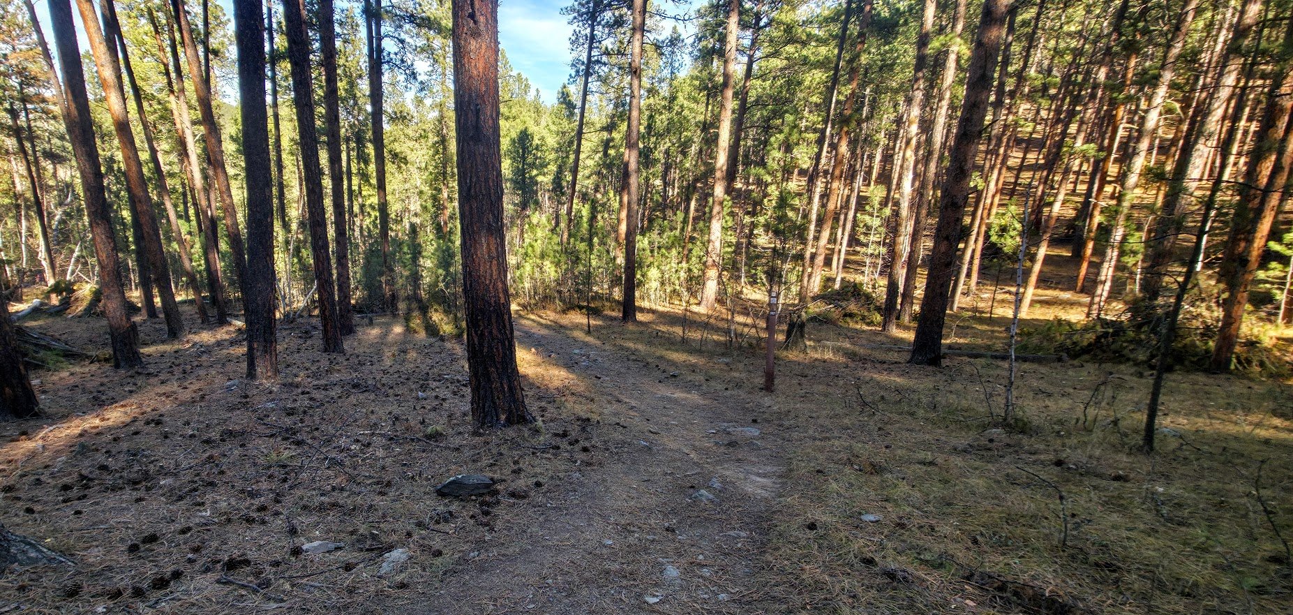
This is the trail you take to the right if you are going to the Springcreek/Loop B starting point - about ¼ of a mile more to hike to get to the parking spots. It is easy to miss so keep an eye out for it. You are about 5 miles in when you hit it.
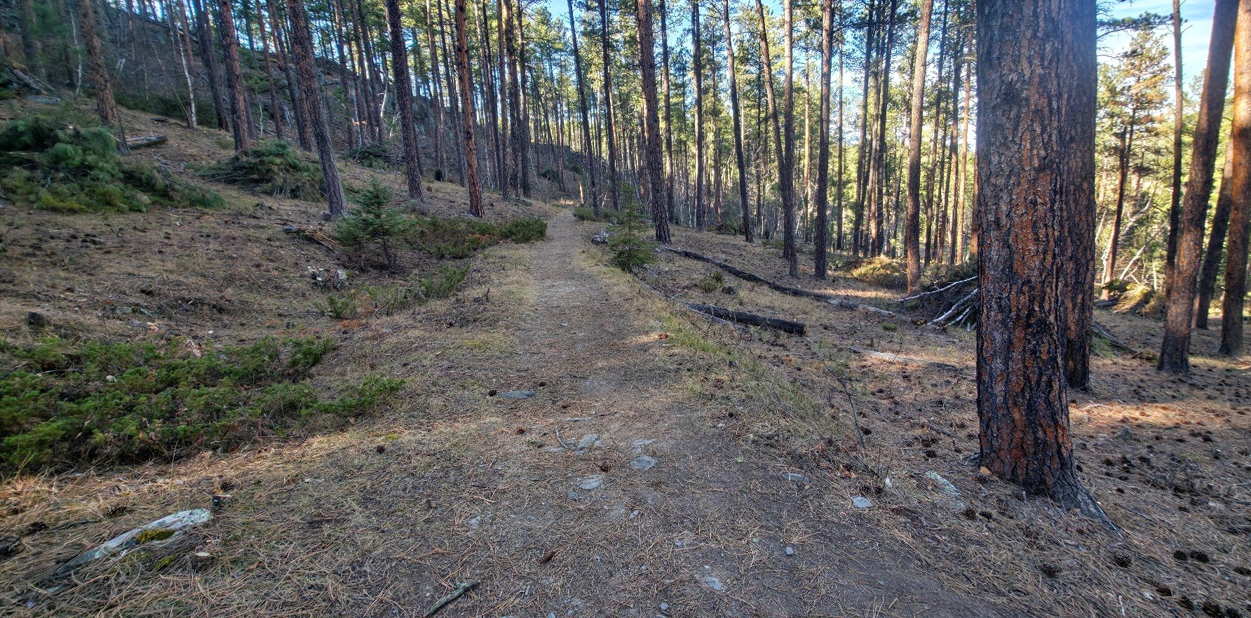
If you want to keep going then you stay on this trail.
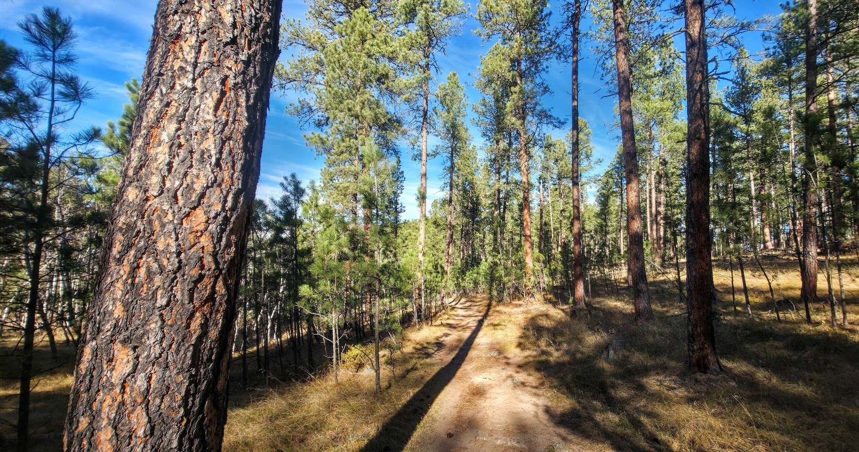
Springcreek/Loop B.
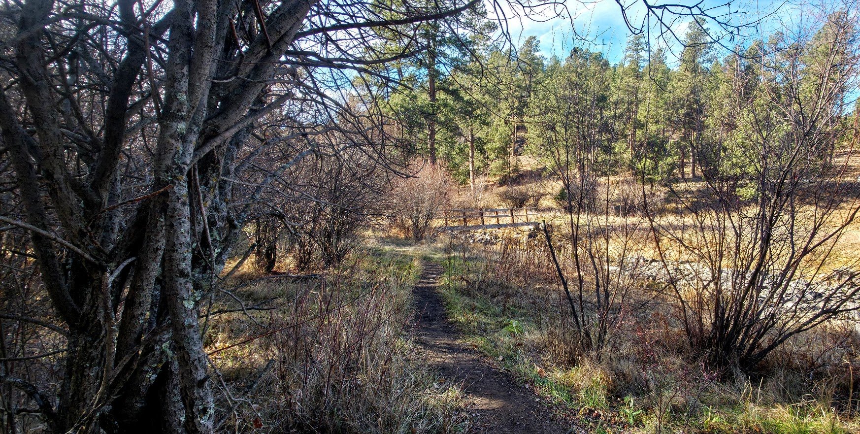
See the bridge - just cross it to get to the parking lot.
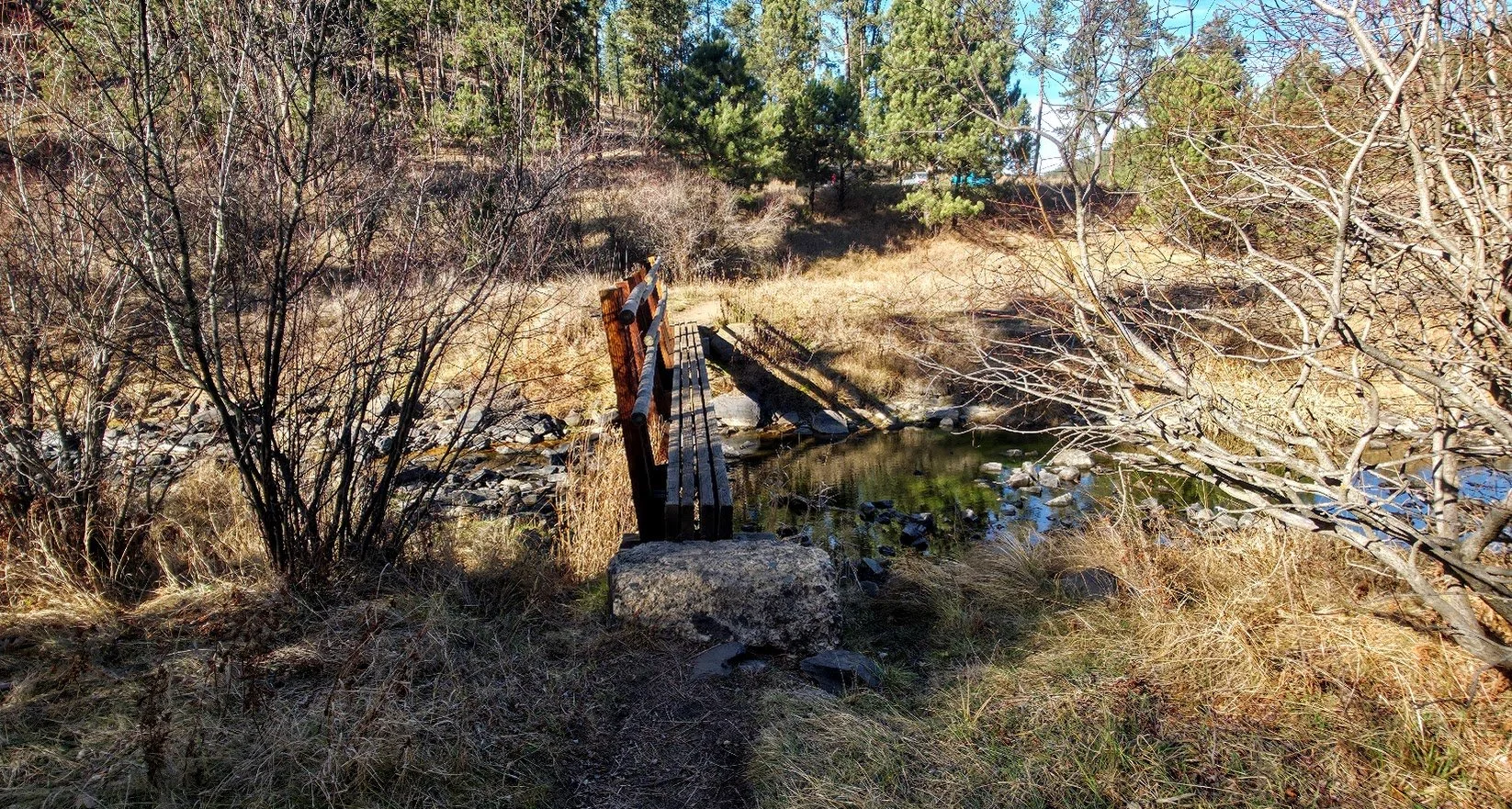
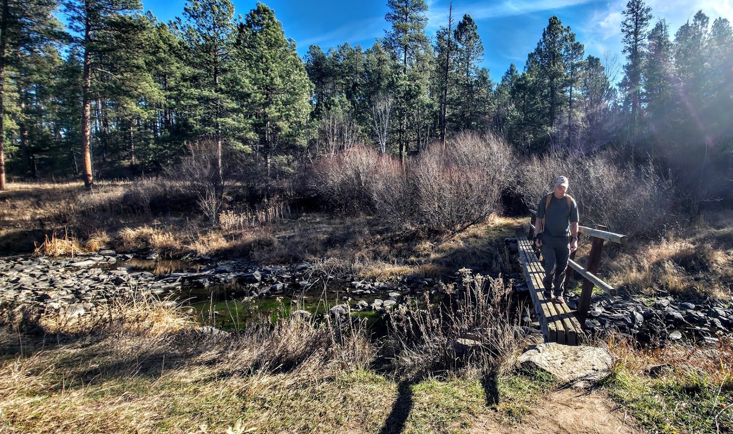
We made it.